Uphill
197m
Length
5km
Duration
1h30min
Elev gain
197m
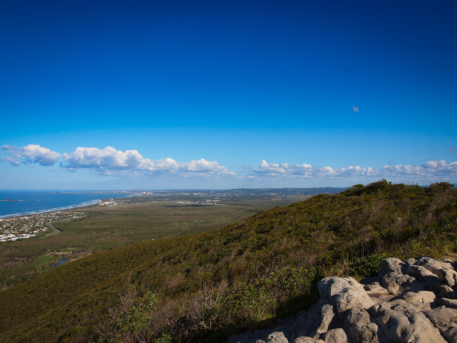
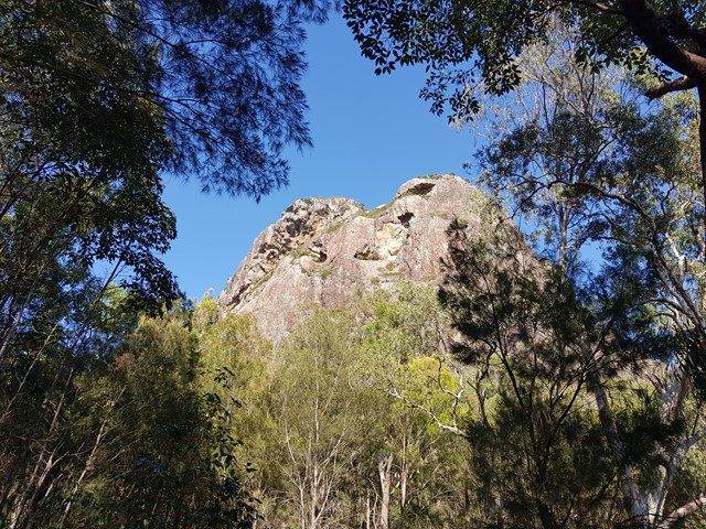
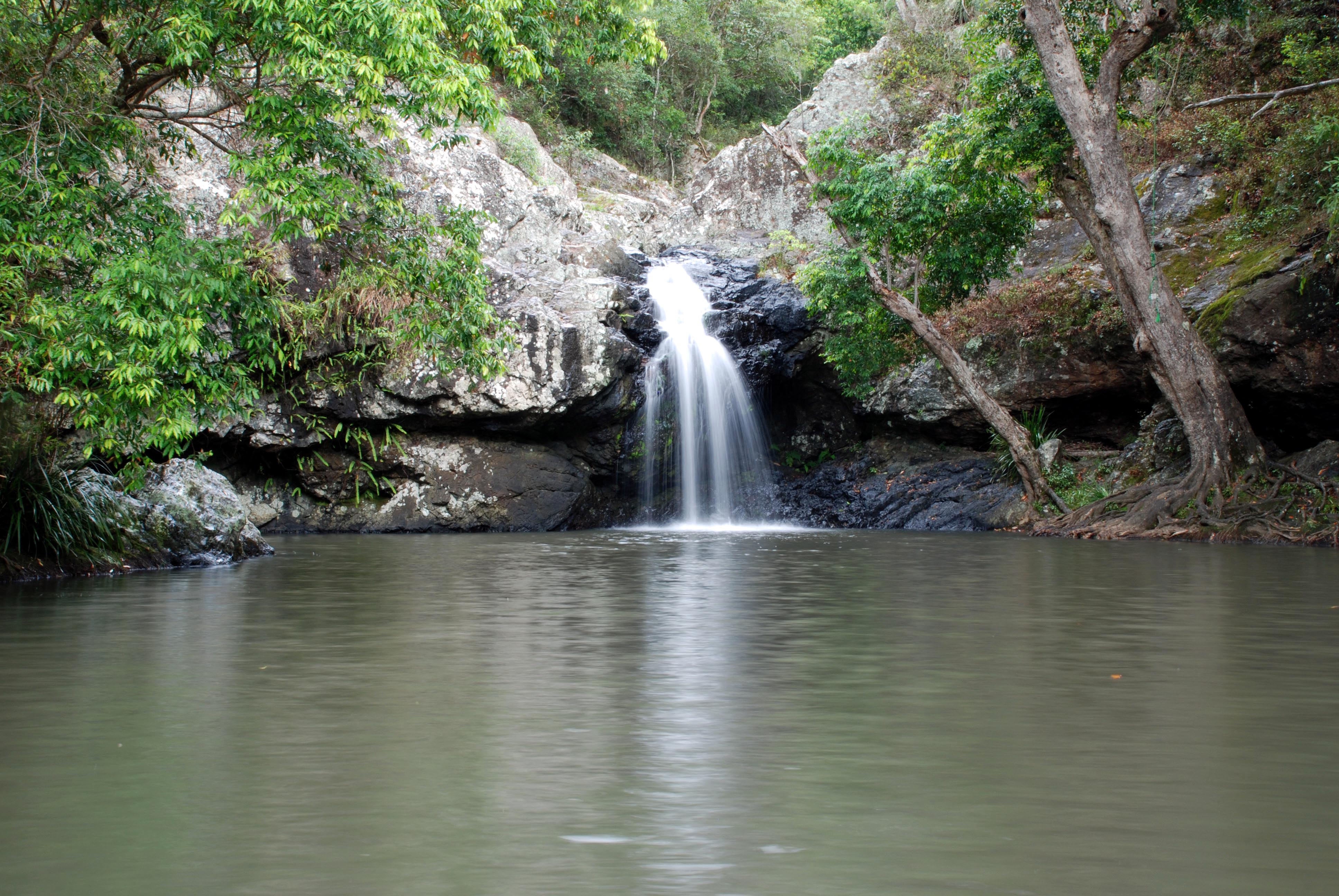
This is a great loop to reach the Kondalilla Falls in the Kondalilla National Park, half an hour away from the Sunshine Coast. This is one of Queensland's most popular walks and might get crowded quickly on sunny days and weekends.
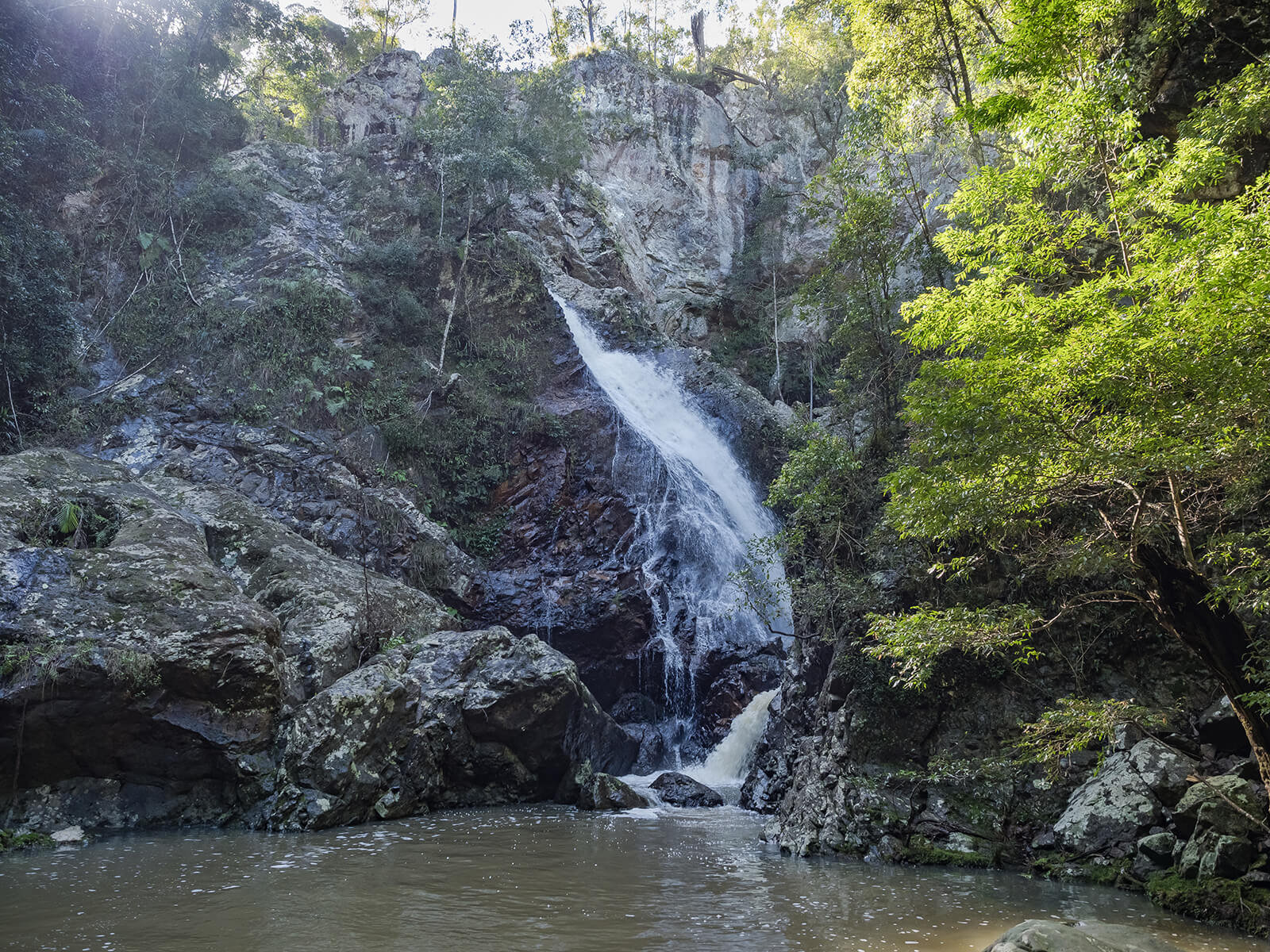
Following the Picnic Creek Circuit, the trail leads to the Falls Lookout and a series of stairs to then reach wonderful rock pools that are a great place to take a dip. The lush environment and the waterfalls create a serene atmosphere.

Already more than 200,000 users!
Uphill
197m
Highest point
357m
Downhill
197m
Lowest point
209m
Route type
Loop
Download the map on your smartphone to save battery and rest assured to always keep access to the route, even without signal.
Includes IGN France and Swisstopo.
I indicate whether dogs are allowed or prohibited on this trail
All year
0 ratings
Also enjoy:

Already more than 200,000 users!