Uphill
176m
Length
2km
Duration
1h
Elev gain
176m
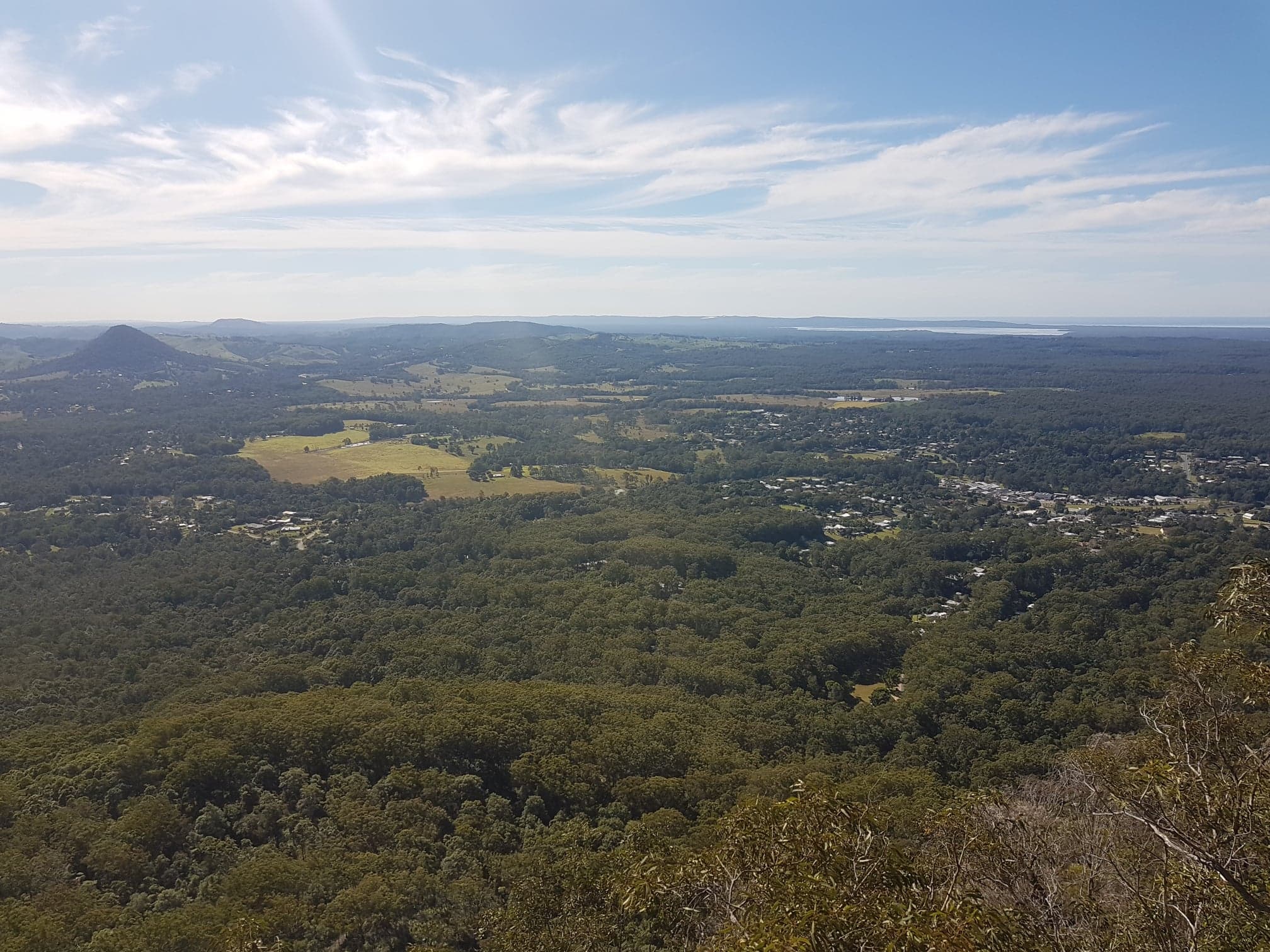
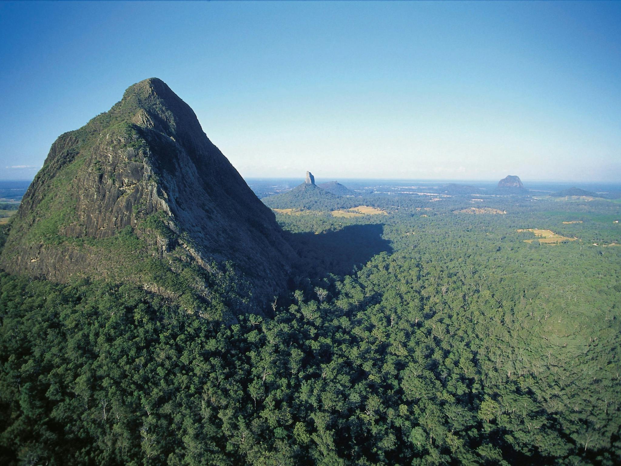
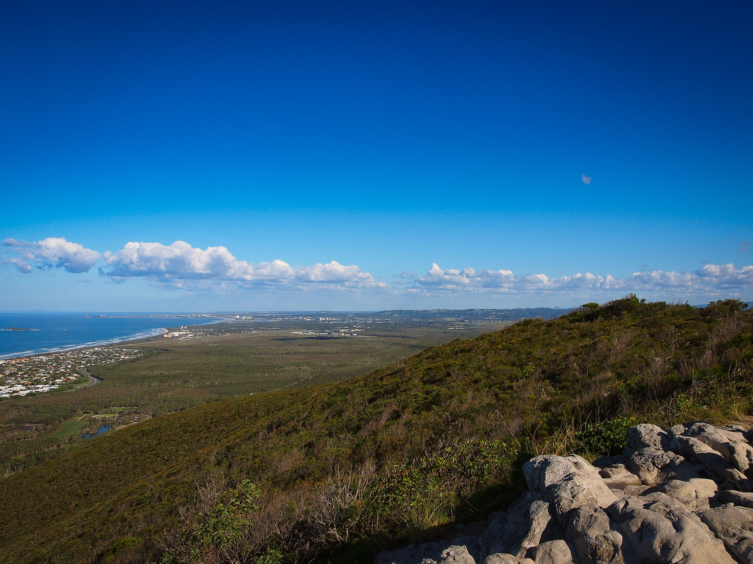
This is a straight forward short hike to the top of Mount Coolum in Mount Coolum National Park, North of Sunshine Coast. The trail is short and narrow, with stair sections along the way. The panoramic view at the top is wonderful. One can see the Noose Heads and the Glasshouse Mountains as well as beautiful coastal landscapes.

Already more than 200,000 users!
Uphill
176m
Highest point
199m
Downhill
176m
Lowest point
17m
Route type
There and back
Download the map on your smartphone to save battery and rest assured to always keep access to the route, even without signal.
Includes IGN France and Swisstopo.
I indicate whether dogs are allowed or prohibited on this trail
All year
0 ratings
Also enjoy:

Already more than 200,000 users!