Uphill
256m
Length
6km
Duration
2h30min
Elev gain
256m
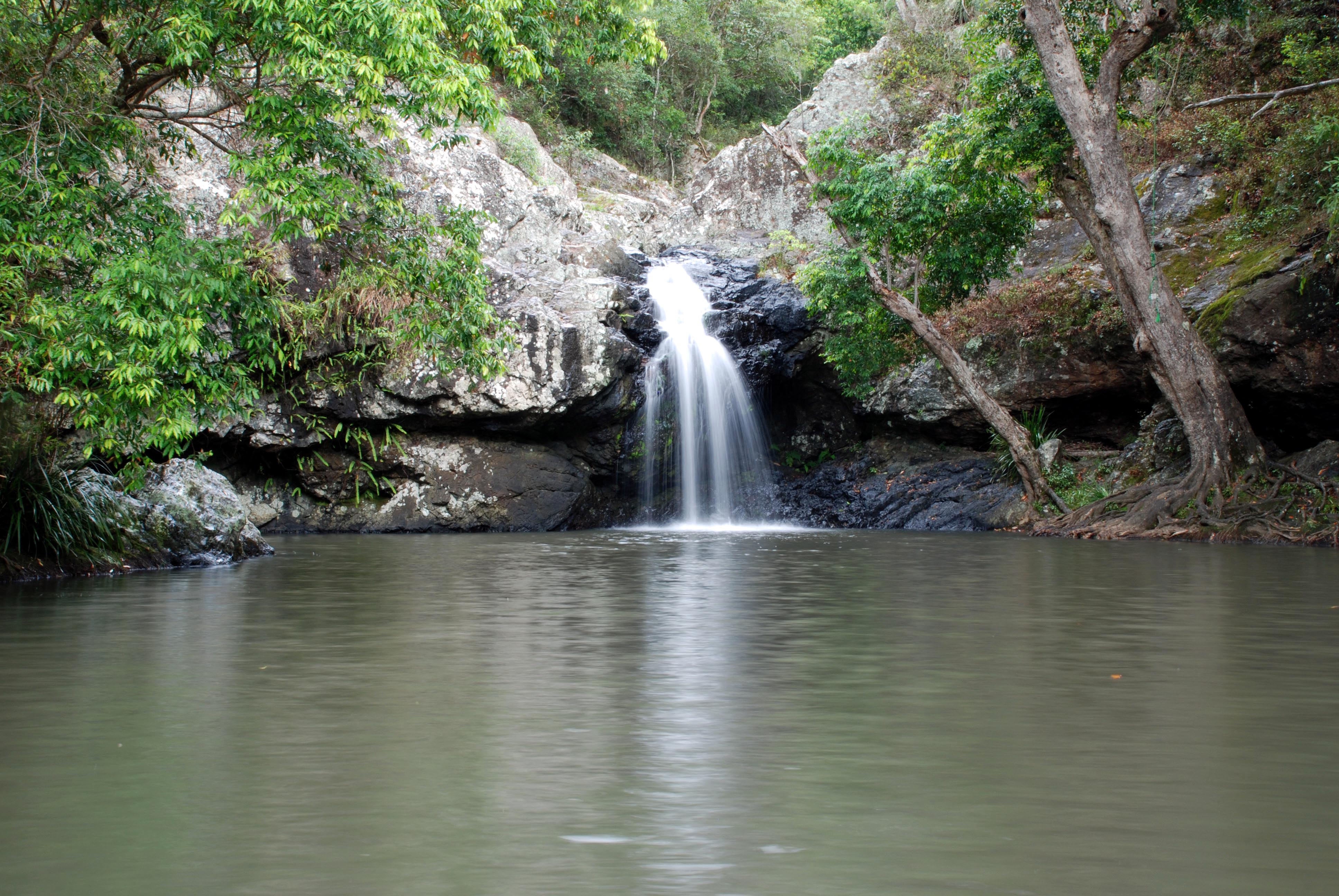
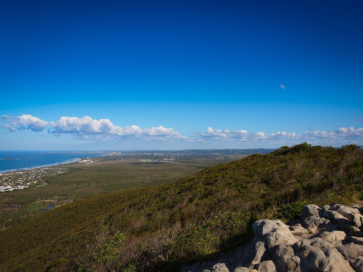
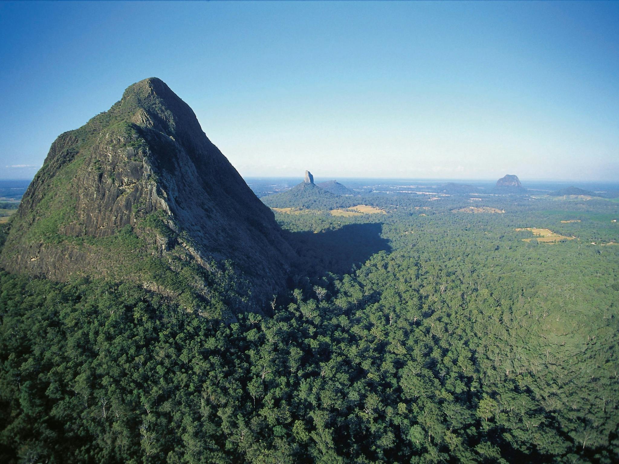
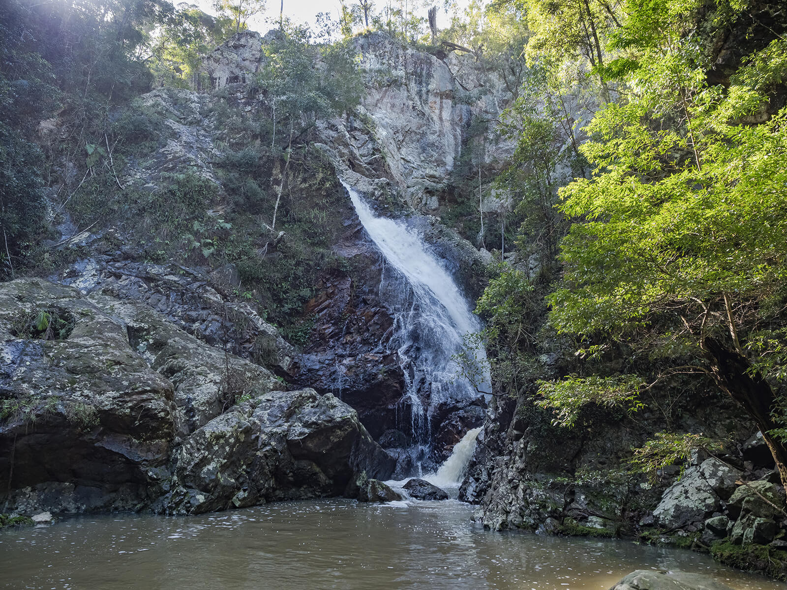
Discover this fun and adventurous there-and-back hike on a section of the Sunshine Coast Hinterland Great Walk in the Kondalilla National Park. The trail is moderate and goes downhill to lead to the Baxter Falls, crossing a suspended bridge. The return is a moderate uphill incline. In the rainforest, the natural water features are numerous, be it river, pools and falls, making for beautiful scenery on the walk. The flora and fauna are diverse and abundant.

Already more than 200,000 users!
Uphill
256m
Highest point
433m
Downhill
256m
Lowest point
208m
Route type
There and back
Download the map on your smartphone to save battery and rest assured to always keep access to the route, even without signal.
Includes IGN France and Swisstopo.
I indicate whether dogs are allowed or prohibited on this trail
All year
0 ratings
Also enjoy:

Already more than 200,000 users!