Uphill
684m
Length
16km
Duration
6h
Elev gain
684m
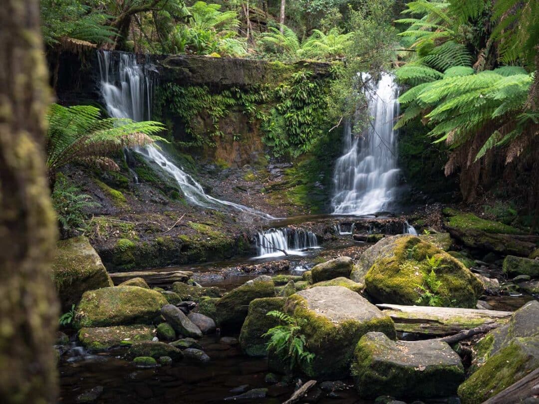
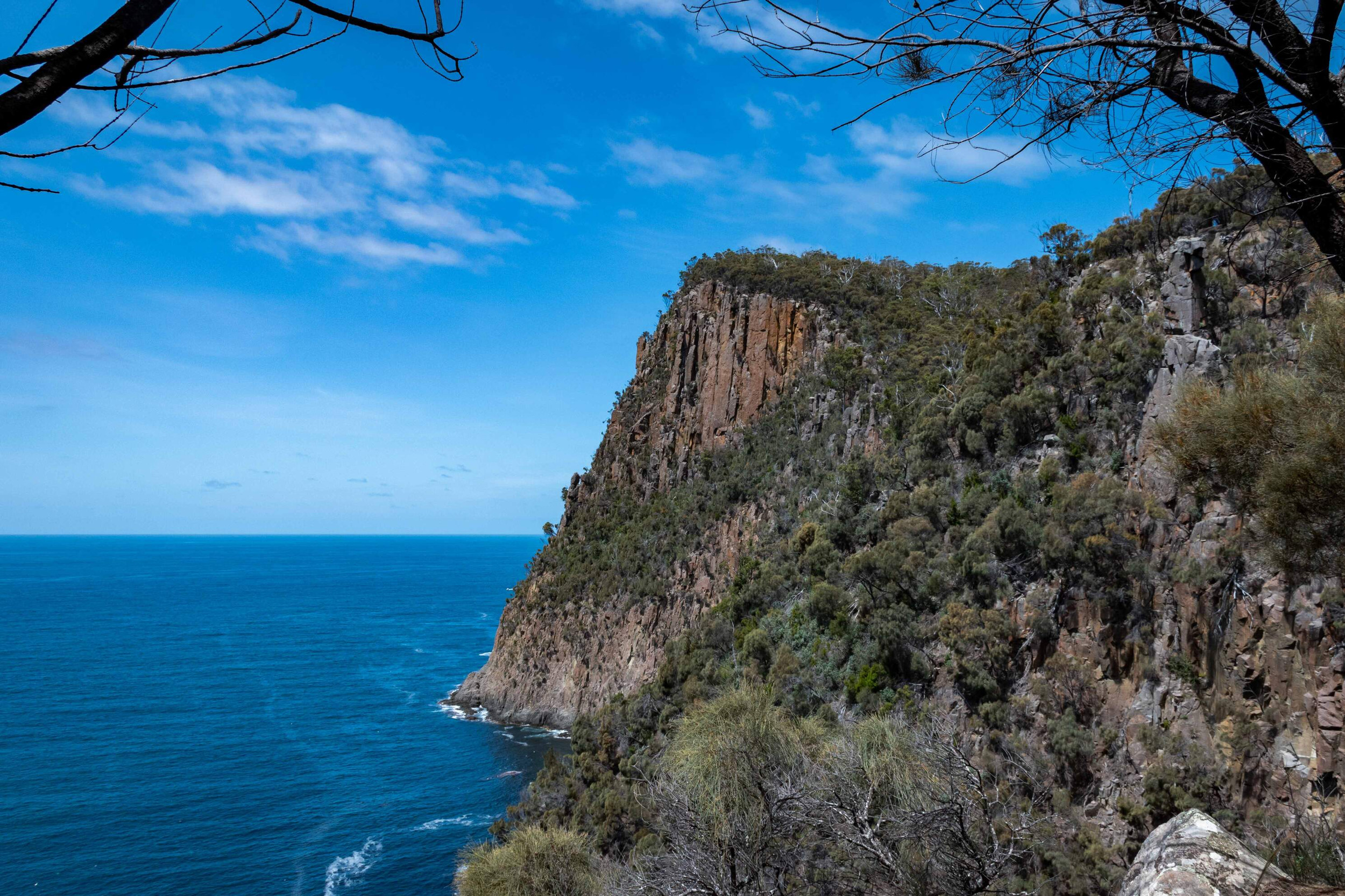
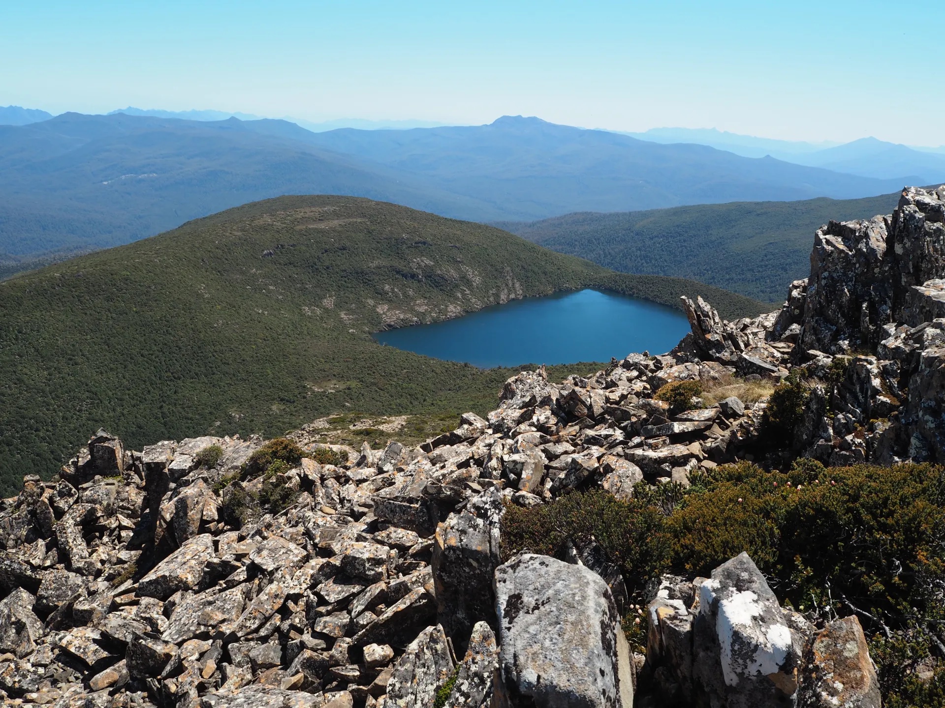
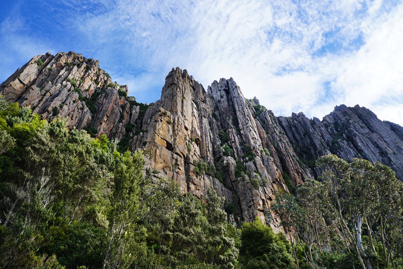
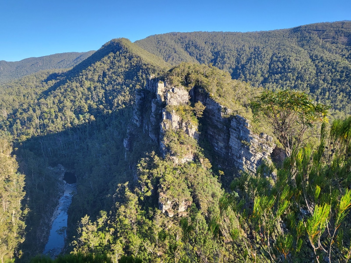
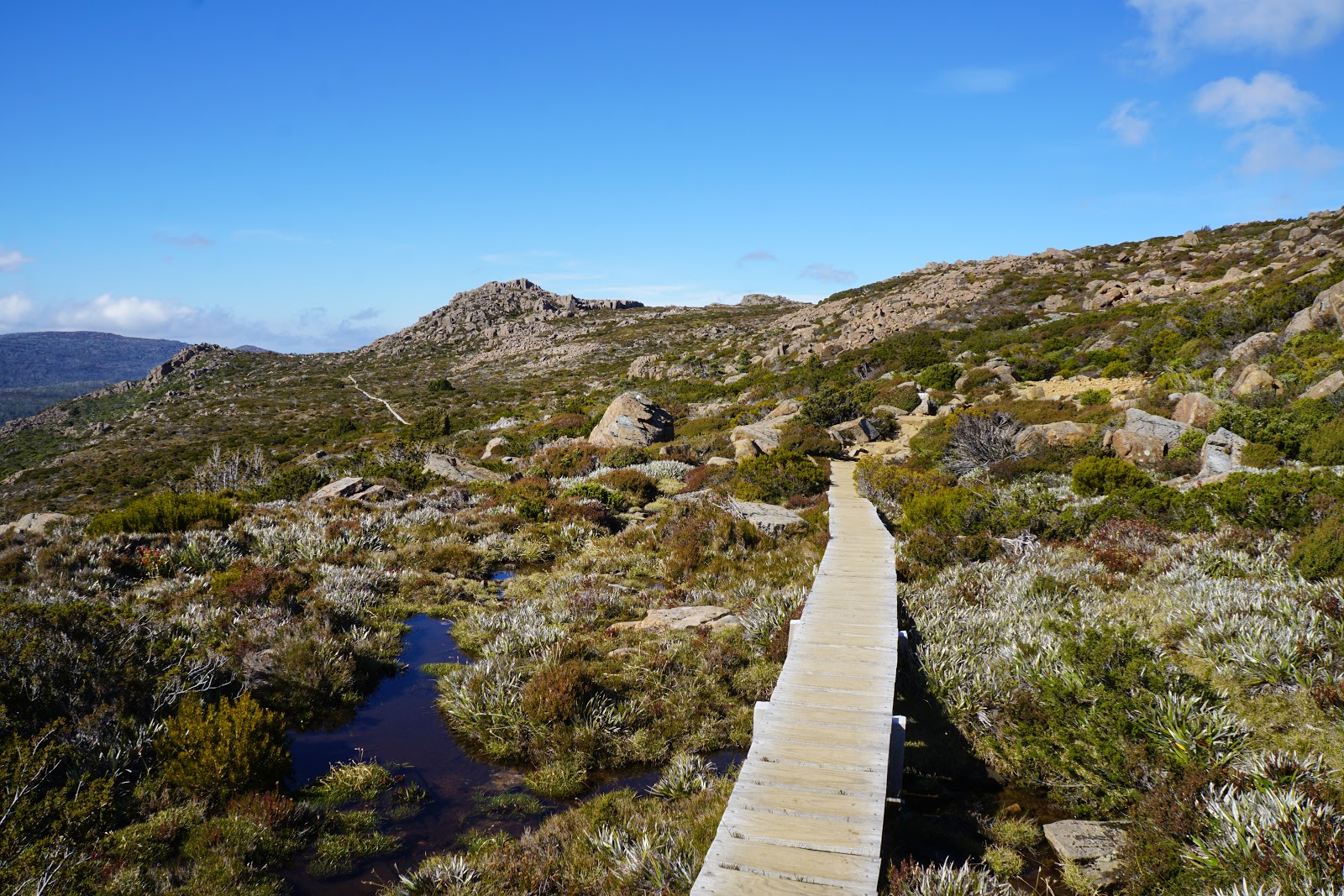
This is a difficult and beautiful walk to Mount Field following the Tarn Shelf in Mount Field National Park, Tasmania. The trail, beginning by Lake Dobson, is long with a decent elevation gain; it combines boardwalks with rock footpaths and dirt trails. The walk offers a wide variety of landscaped and passes many iconic sights of Mount Field National Park, like the Webster, Newdegate and Seal lakes. The flora is unique and creates an incredible setting on the route.

Already more than 200,000 users!
Uphill
684m
Highest point
1264m
Downhill
684m
Lowest point
826m
Route type
Loop
Download the map on your smartphone to save battery and rest assured to always keep access to the route, even without signal.
Includes IGN France and Swisstopo.
I indicate whether dogs are allowed or prohibited on this trail
Can be difficult in Winter
0 ratings
Also enjoy:

Already more than 200,000 users!