Uphill
631m
Length
12km
Duration
5h
Elev gain
631m
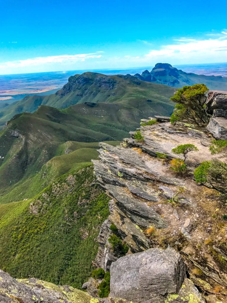
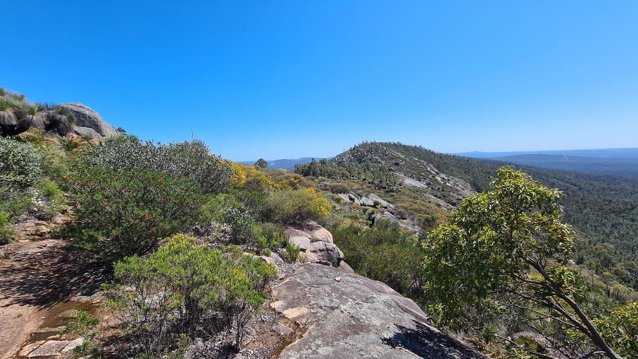
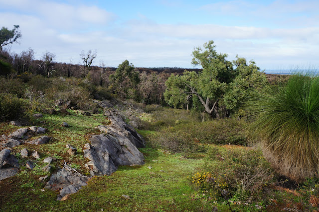
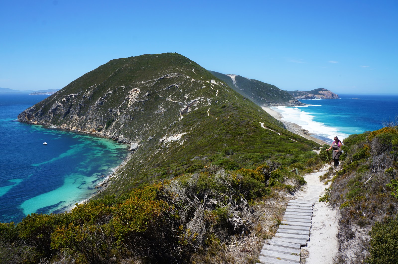
This is a challenging but rewarding there-and-back hike on the Bald Head in Torndirrup National Park near Misery Beach. The trail follows a sandy path, with quite a few stair and boardwalk mat sections (to limit dune erosion), which ease the terrain quite a bit. The views on the Southern Ocean coastline are incredible and the native flora and fauna further add to the impressive beauty of the walk. With the salty breezy air blowing and the mesmerizing turquoise blue of the sea, this is a walk to remember!

Already more than 200,000 users!
Uphill
631m
Highest point
205m
Downhill
631m
Lowest point
10m
Route type
There and back
Download the map on your smartphone to save battery and rest assured to always keep access to the route, even without signal.
Includes IGN France and Swisstopo.
I indicate whether dogs are allowed or prohibited on this trail
All year
0 ratings
Also enjoy:

Already more than 200,000 users!