Uphill
667m
Length
6km
Duration
4h30min
Elev gain
667m
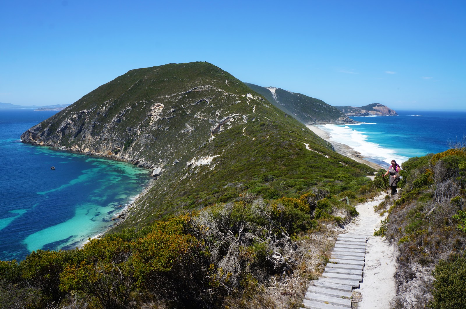
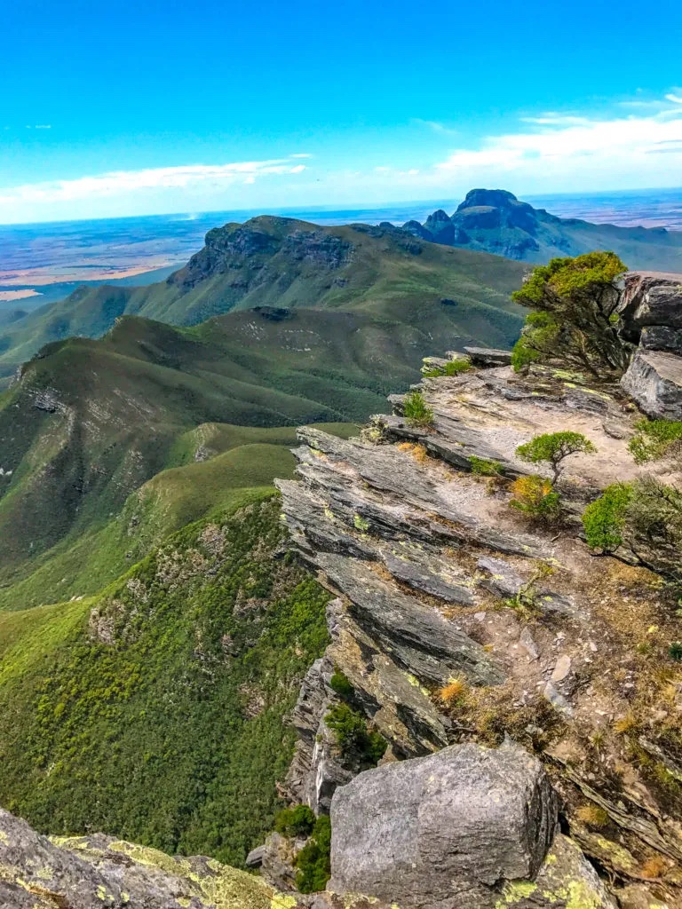
This is a challenging there-and-back hike to summit Bluff Knoll, the 3rd highest peak in Western Australia, at 1,095m above sea level, in the Stirling Range National Park.
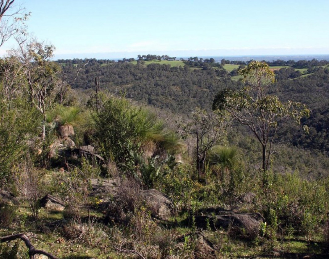
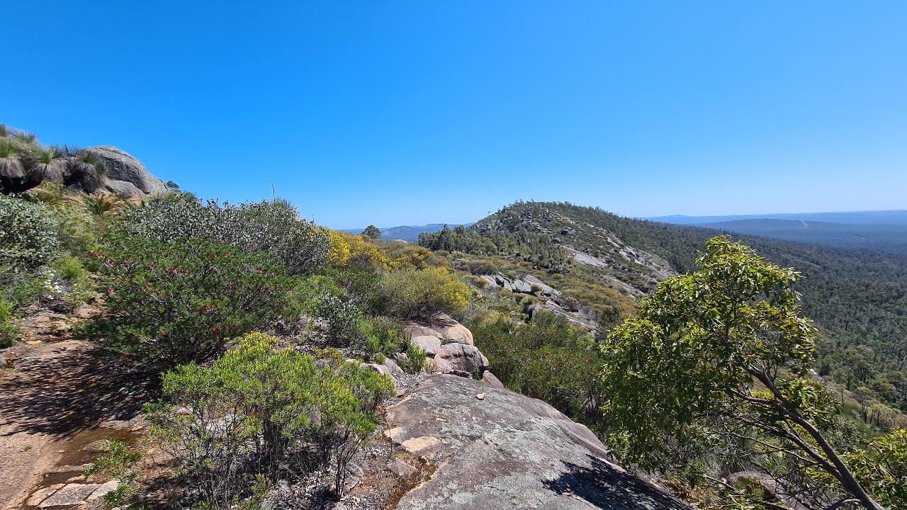
The trail is consistently steep and begins with very impressive views on the Bluff cliff. There is a lookout platform near the trail as well. The path can be slippery after the rain.
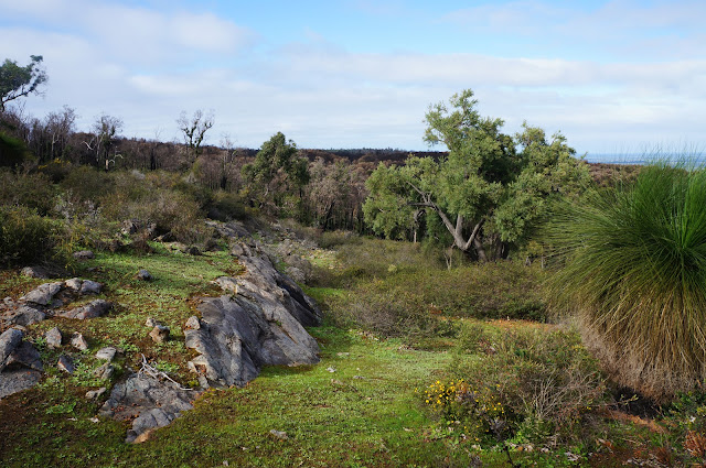
Throughout the walk there is the possibility to spot many flowers and native plants. The views at the top are expansive and magnificent, well-worth the effort!

Already more than 200,000 users!
Uphill
667m
Highest point
1032m
Downhill
667m
Lowest point
418m
Route type
There and back
Download the map on your smartphone to save battery and rest assured to always keep access to the route, even without signal.
Includes IGN France and Swisstopo.
I indicate whether dogs are allowed or prohibited on this trail
All year
0 ratings
Also enjoy:

Already more than 200,000 users!