Uphill
13m
Length
5km
Duration
1h30min
Elev gain
13m
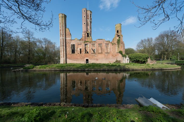
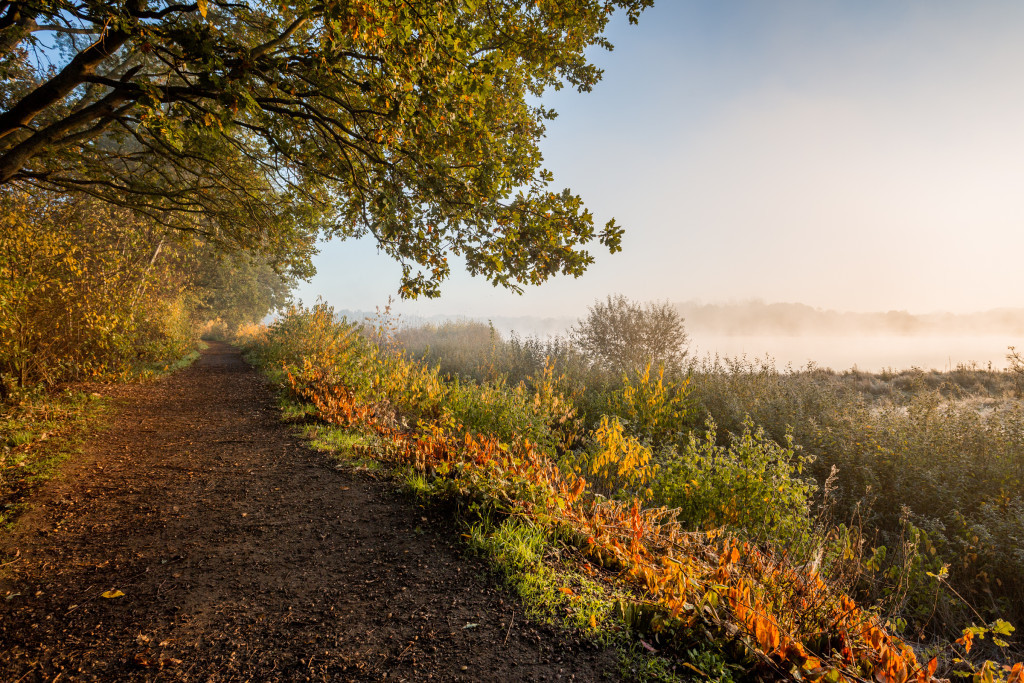
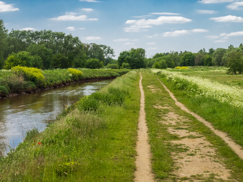
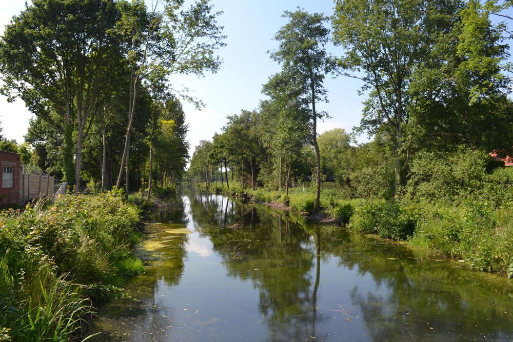
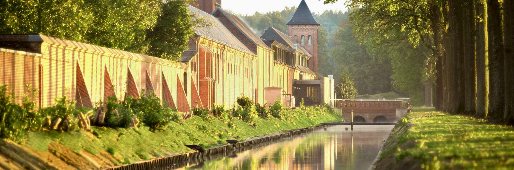
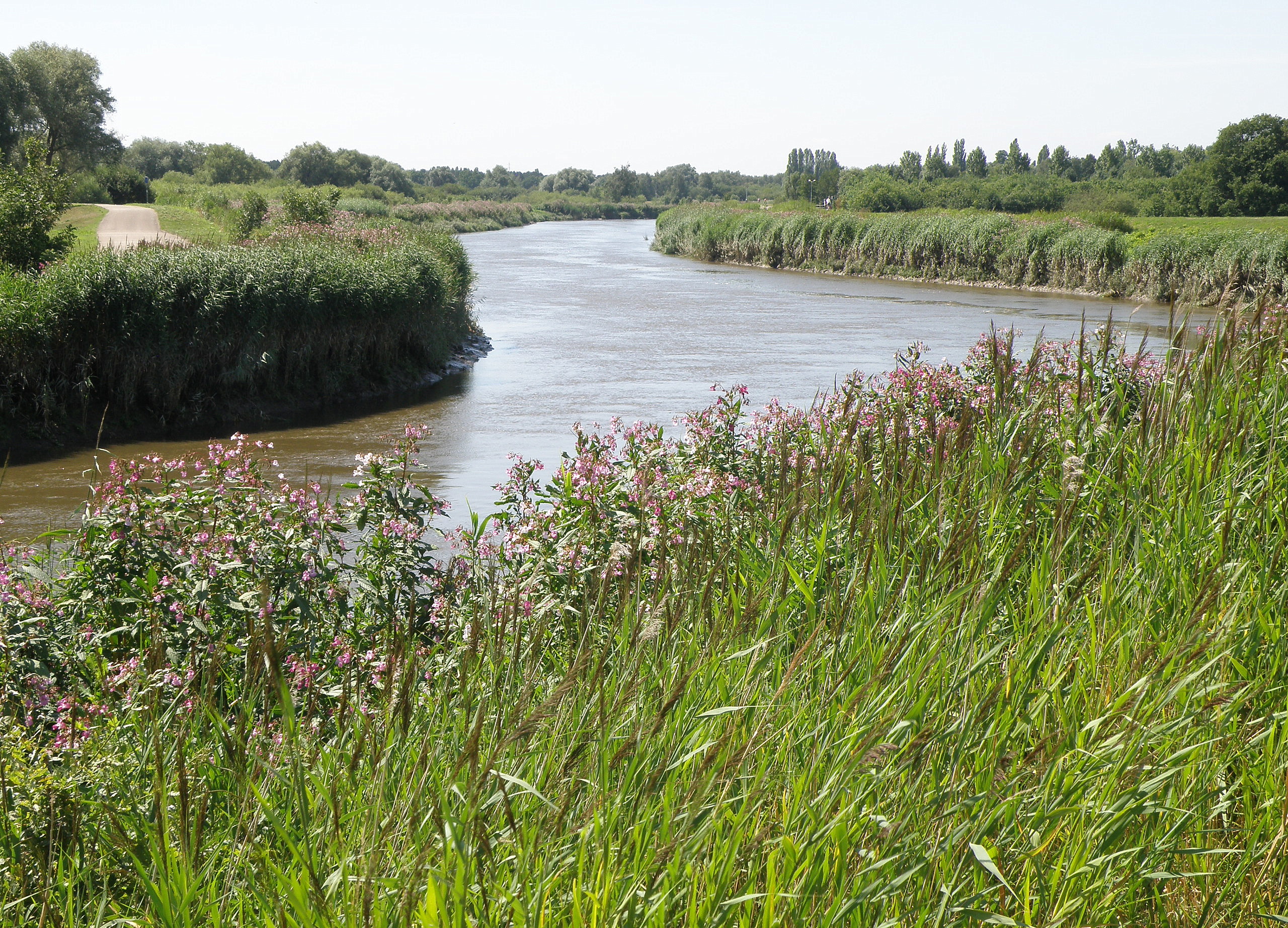
Located south of Lier, this walk makes a beautiful loop to the rhythm of the water. The route runs along the Nete canal, and goes around the pretty ponds of Anderstad.

Already more than 200,000 users!
Uphill
13m
Highest point
18m
Downhill
13m
Lowest point
5m
Route type
Loop
Download the map on your smartphone to save battery and rest assured to always keep access to the route, even without signal.
Includes IGN France and Swisstopo.
I indicate whether dogs are allowed or prohibited on this trail
All year
1 rating
Also enjoy:

Already more than 200,000 users!