Uphill
12m
Length
12km
Duration
3h
Elev gain
12m
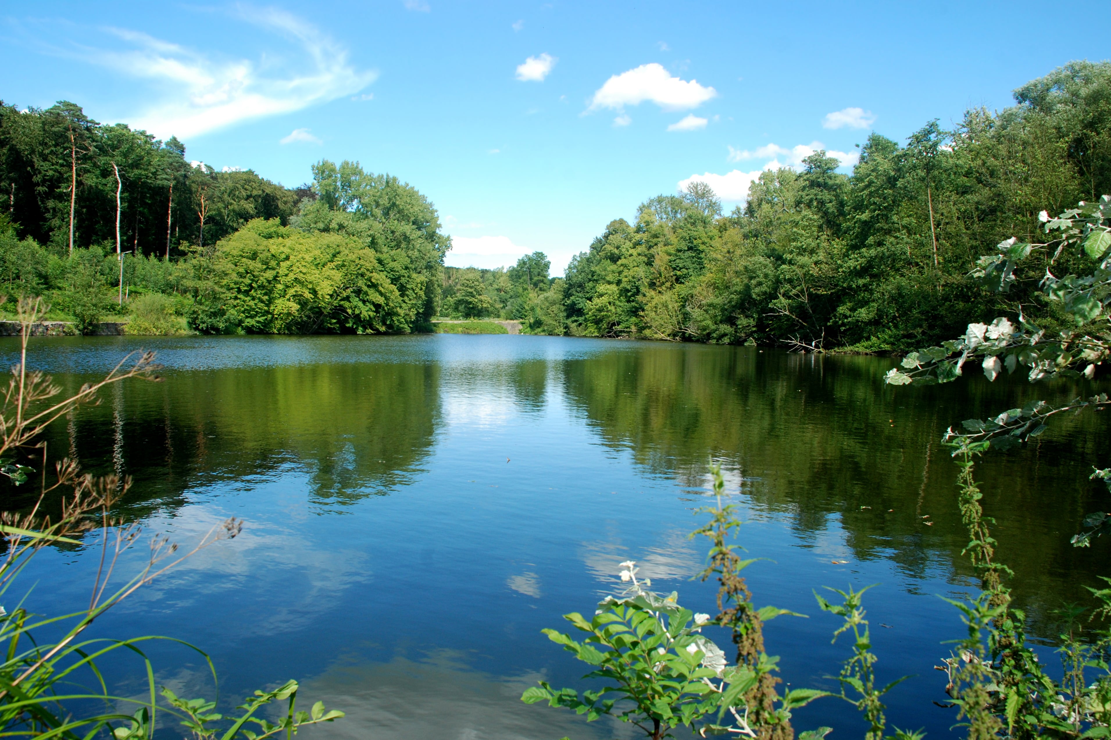
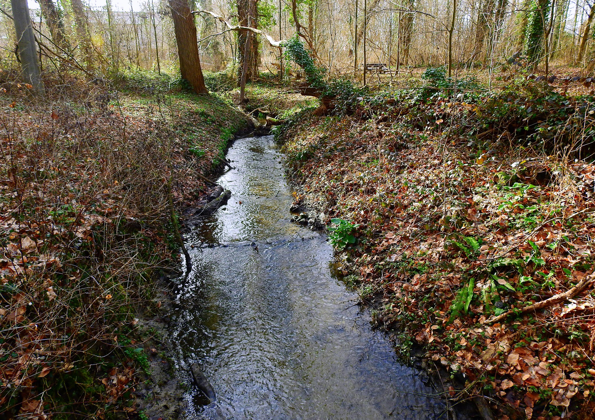
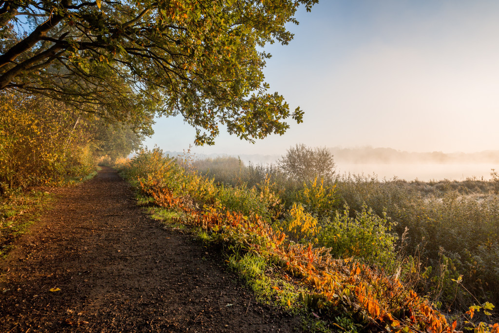
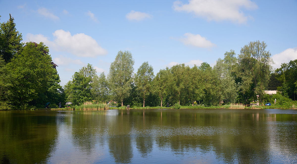
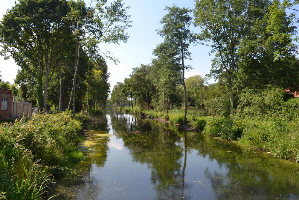
Looking for a hike rich in history? There it is. This route passes through the "Antitankgracht", a ditch dug during the Second World War to face German tanks. After the war, this wetland was transformed into a nature reserve and today offers beautiful paths for walks. The trail also passes through the Haacths marsh.

Already more than 200,000 users!
Uphill
12m
Highest point
19m
Downhill
12m
Lowest point
5m
Route type
Loop
Download the map on your smartphone to save battery and rest assured to always keep access to the route, even without signal.
Includes IGN France and Swisstopo.
I indicate whether dogs are allowed or prohibited on this trail
All year
1 rating
Chemins parfois très boueux donc il faut prendre de bonnes chaussures. Très belle promenade :-)!
Also enjoy:

Already more than 200,000 users!