Uphill
84m
Length
9km
Duration
2h30min
Elev gain
84m
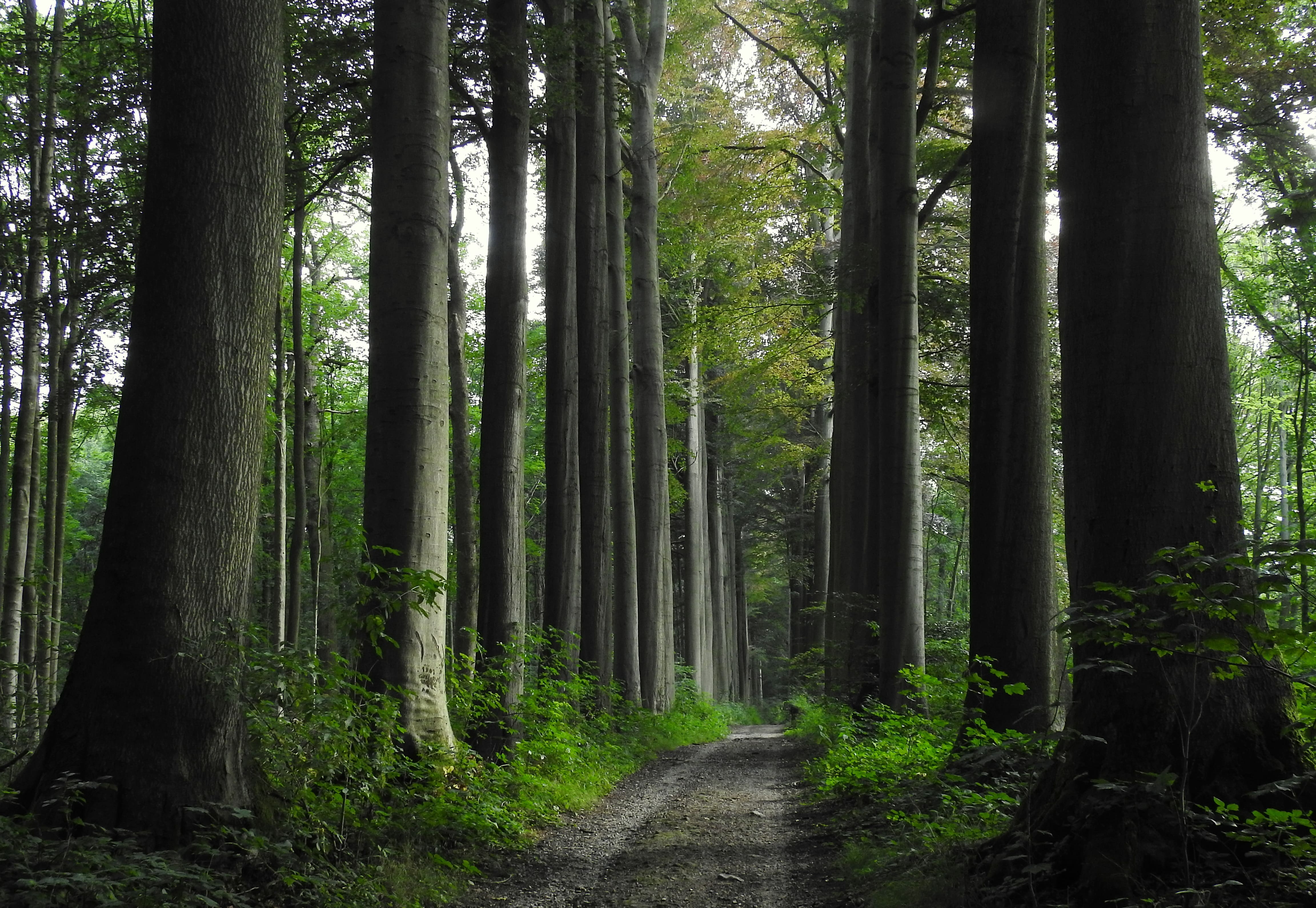
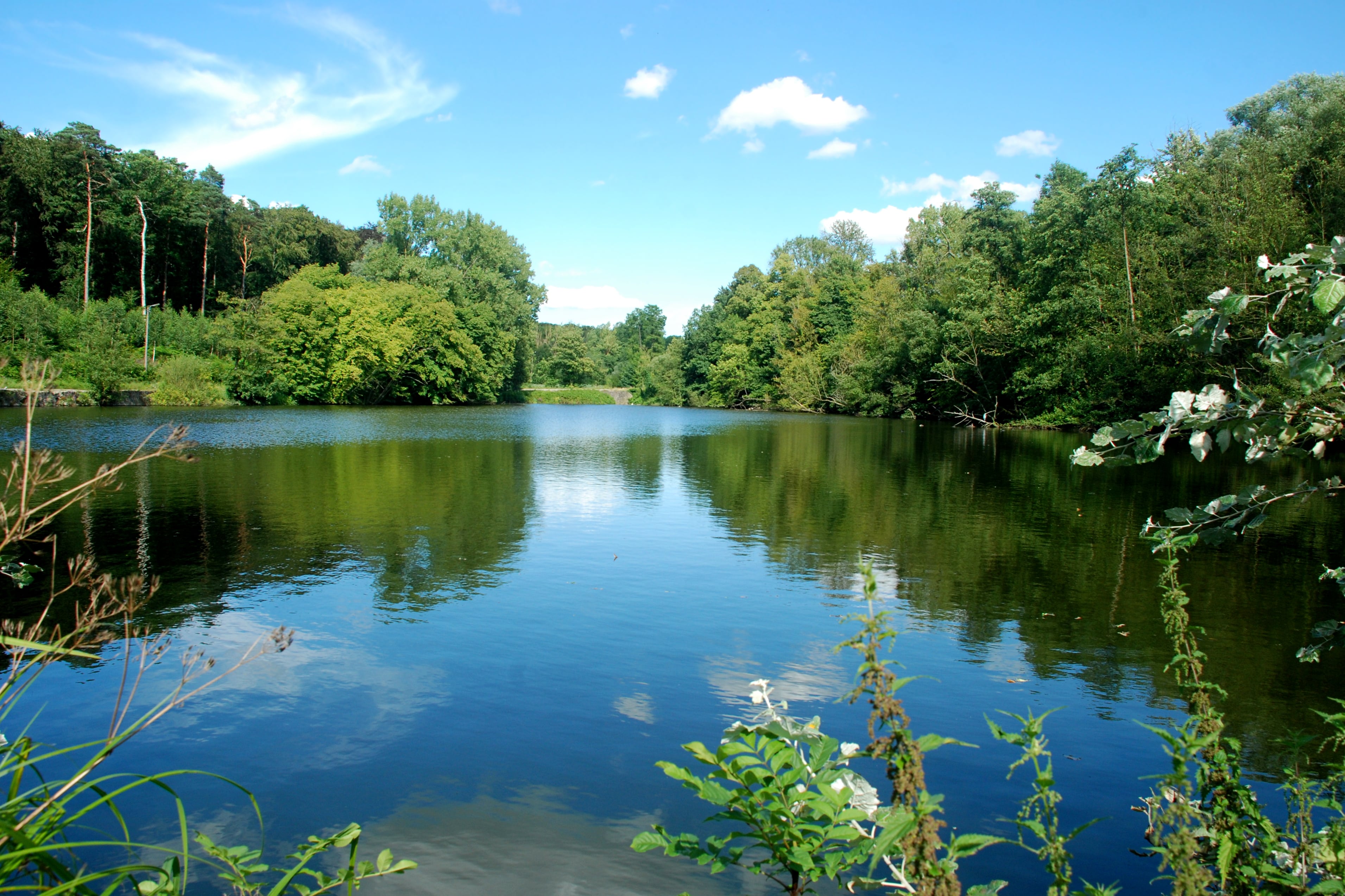
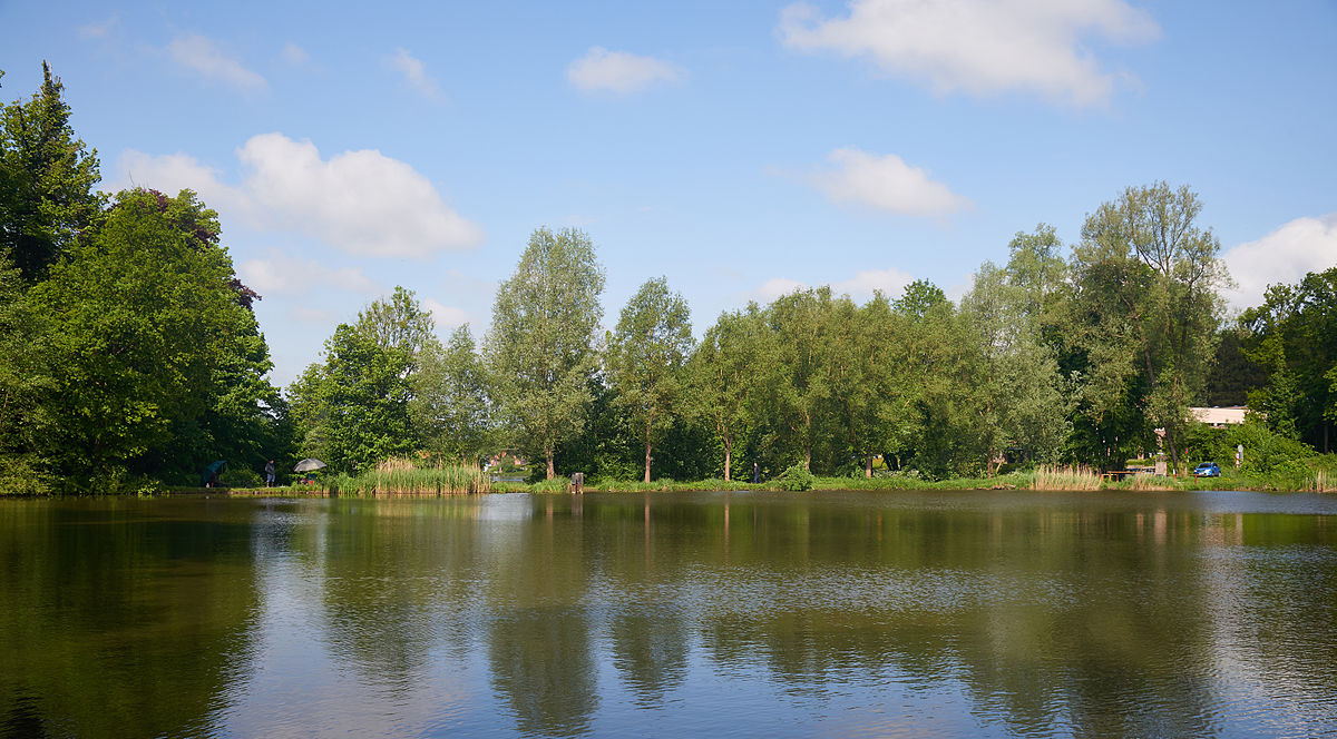
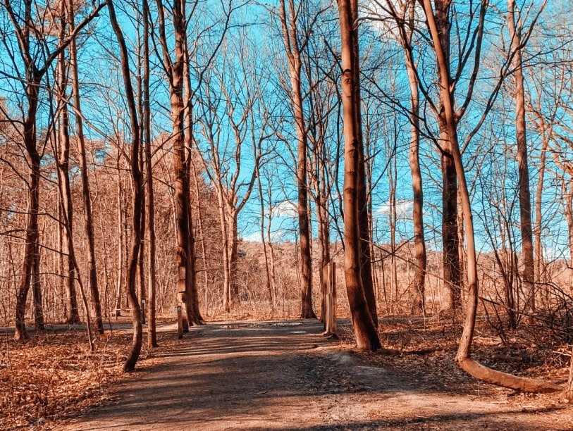
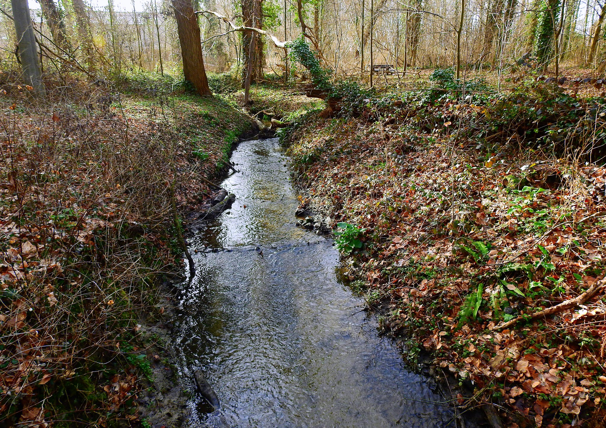
Here is one route among many others possible within the pretty forest of Heverlee. The route makes a loop on a pretty little path, in a natural and wild setting, mainly in the undergrowth, but it does not make you hesitate to let yourself wander in the alleys of the forest.

Already more than 200,000 users!
Uphill
84m
Highest point
88m
Downhill
84m
Lowest point
39m
Route type
Loop
Download the map on your smartphone to save battery and rest assured to always keep access to the route, even without signal.
Includes IGN France and Swisstopo.
I indicate whether dogs are allowed or prohibited on this trail
All year
0 ratings
Also enjoy:

Already more than 200,000 users!