Uphill
159m
Length
13km
Duration
4h
Elev gain
159m
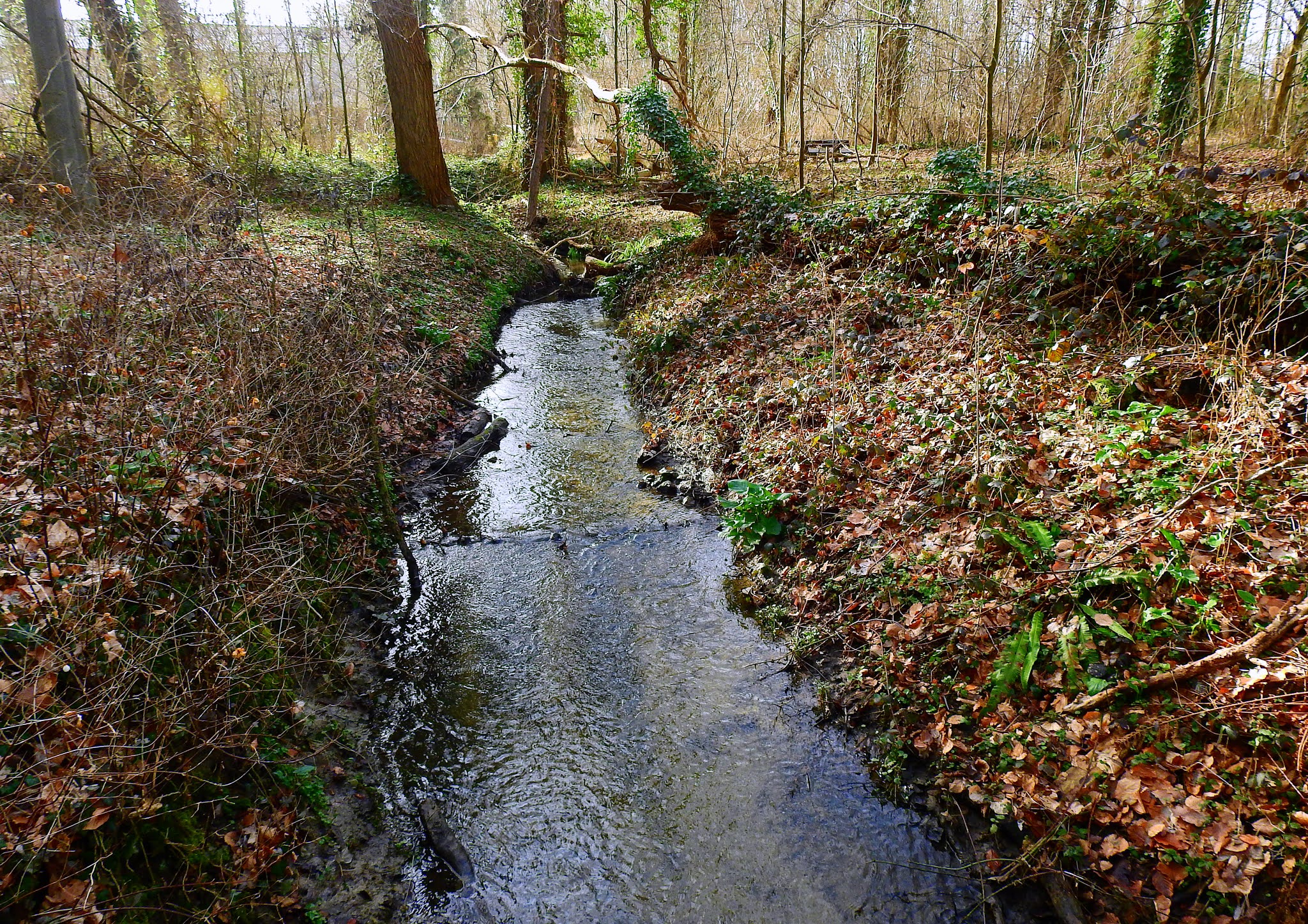
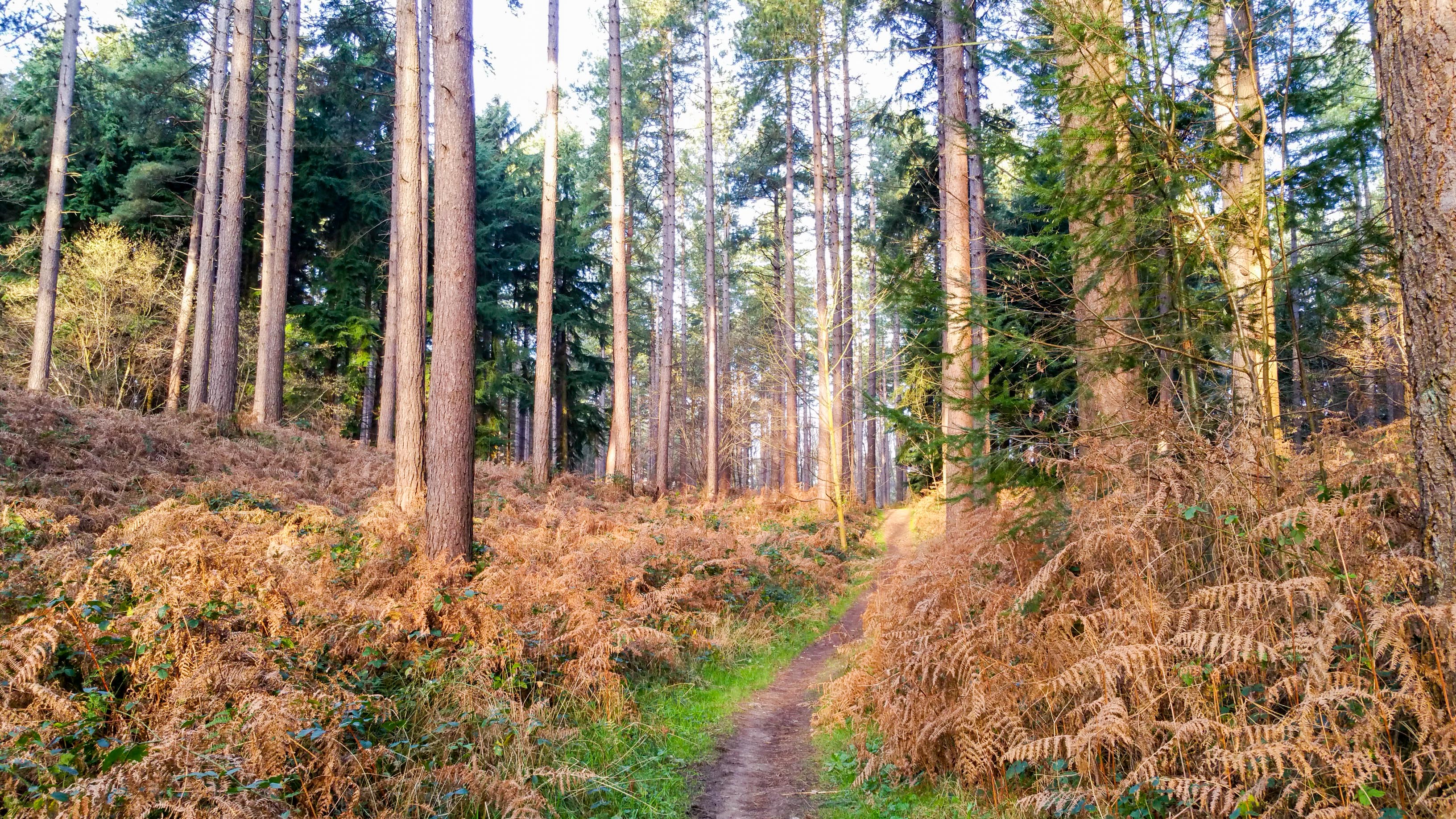
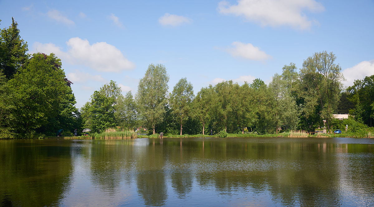
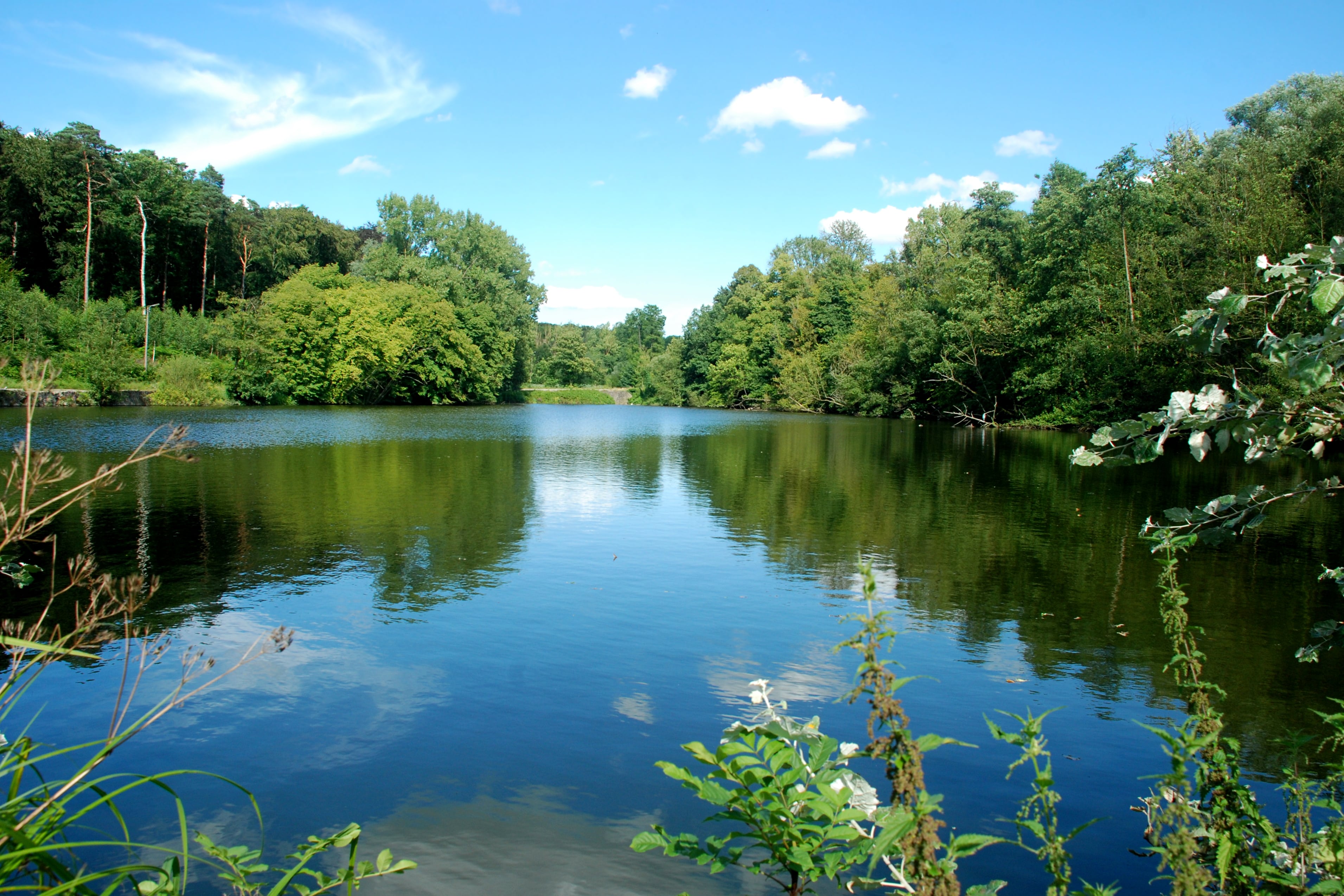
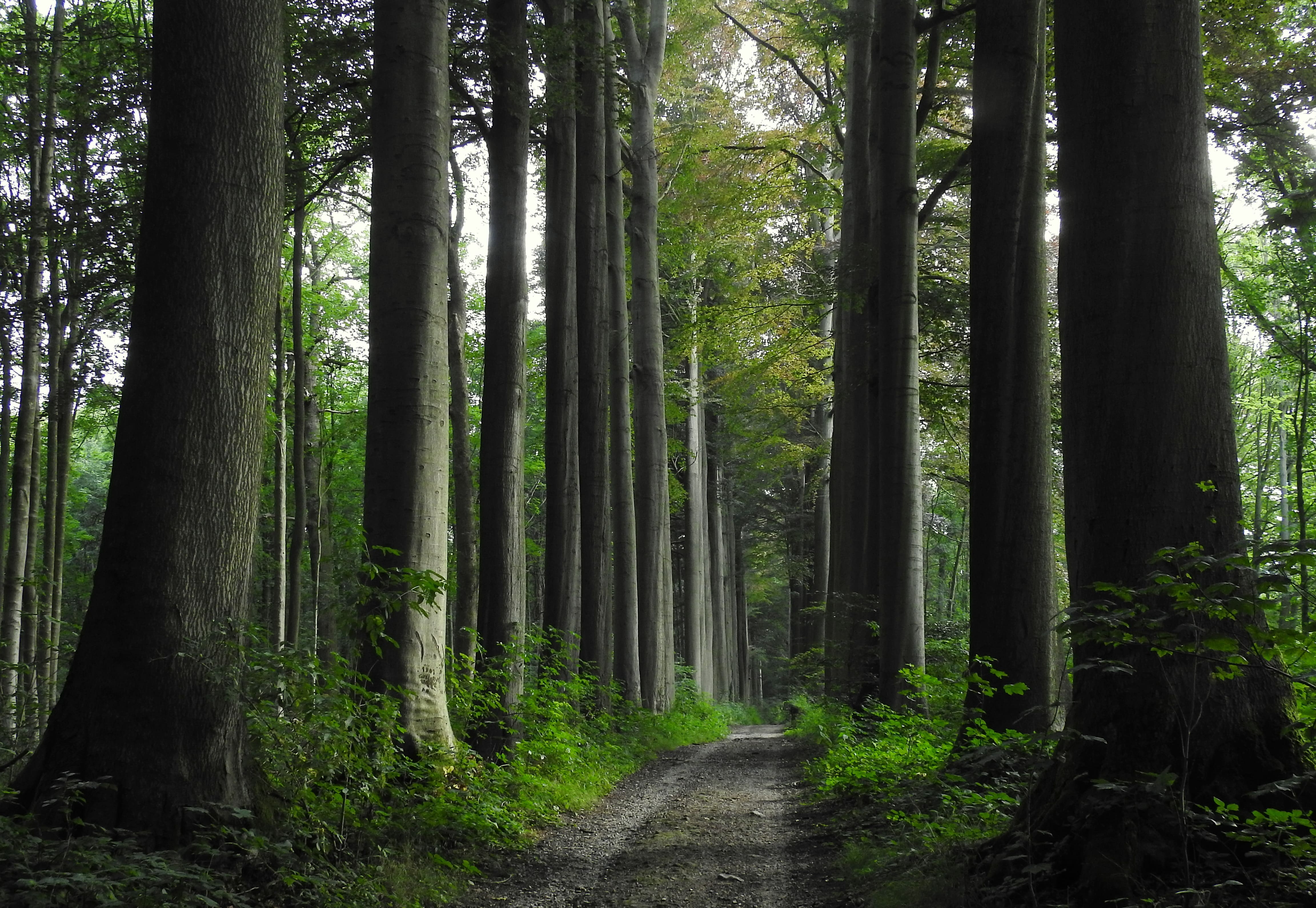
Popular hike in the woods of Mollendaal, south of Oud-Heverlee. The route makes a loop in the forest in the heart of a calm and soothing nature.

Already more than 200,000 users!
Uphill
159m
Highest point
121m
Downhill
159m
Lowest point
51m
Route type
Loop
Download the map on your smartphone to save battery and rest assured to always keep access to the route, even without signal.
Includes IGN France and Swisstopo.
I indicate whether dogs are allowed or prohibited on this trail
All year
1 rating
Also enjoy:

Already more than 200,000 users!