Uphill
27m
Length
9km
Duration
2h
Elev gain
27m
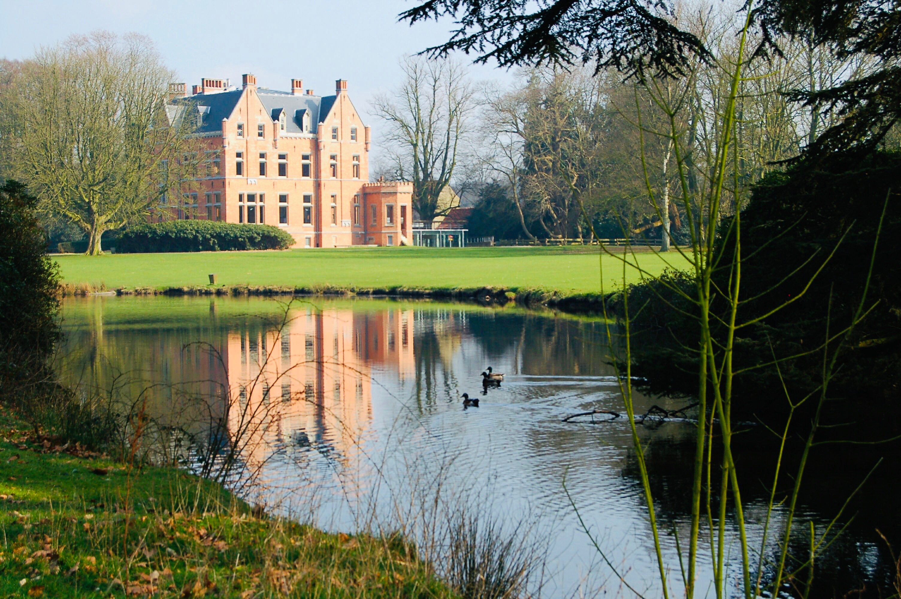
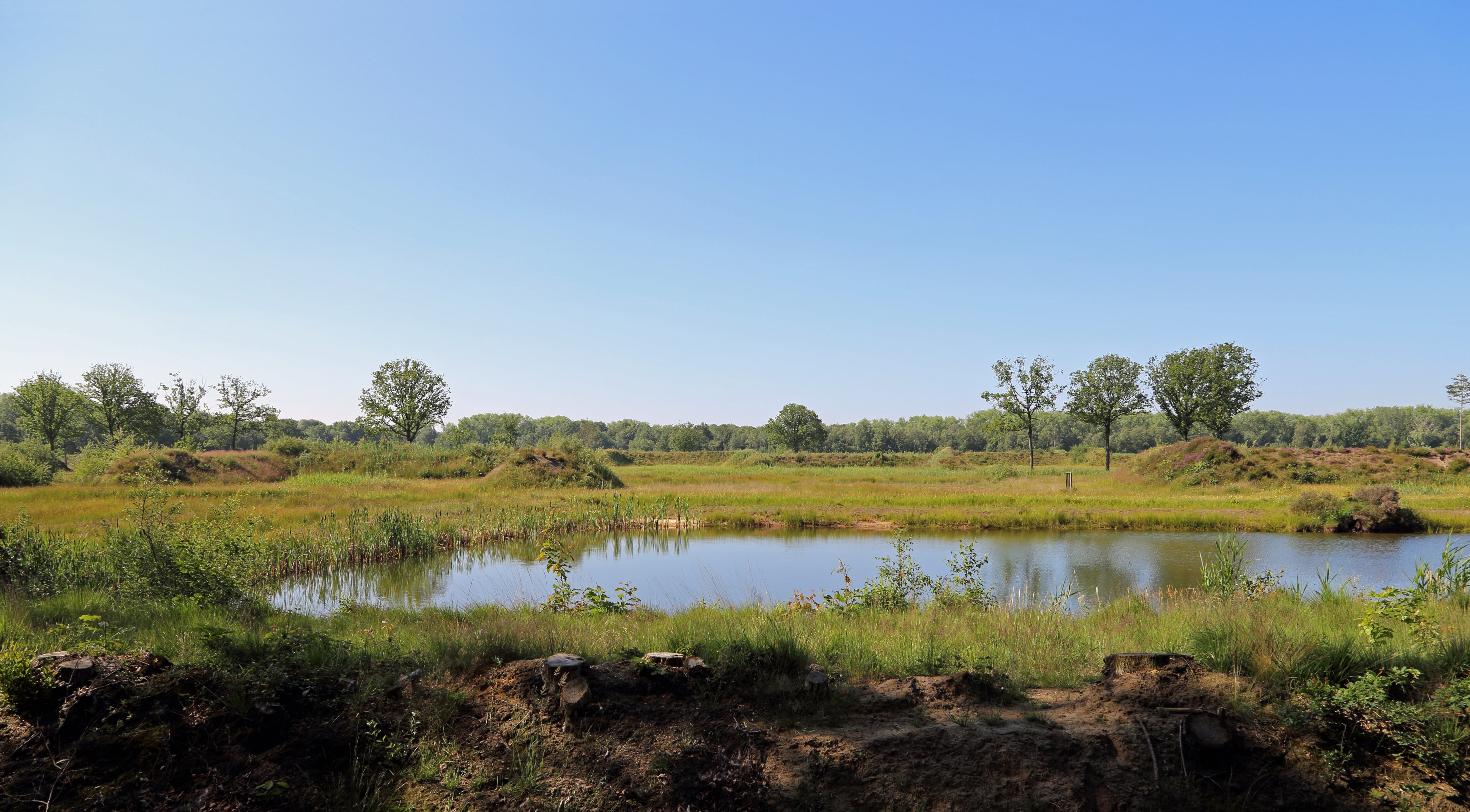
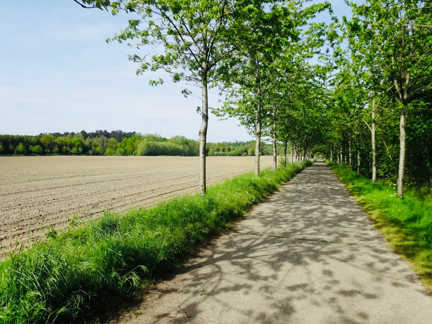
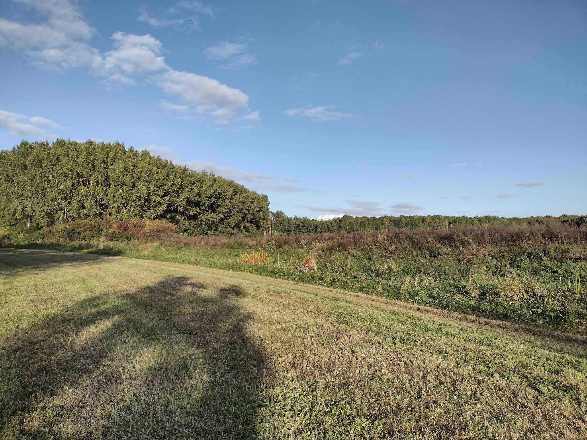
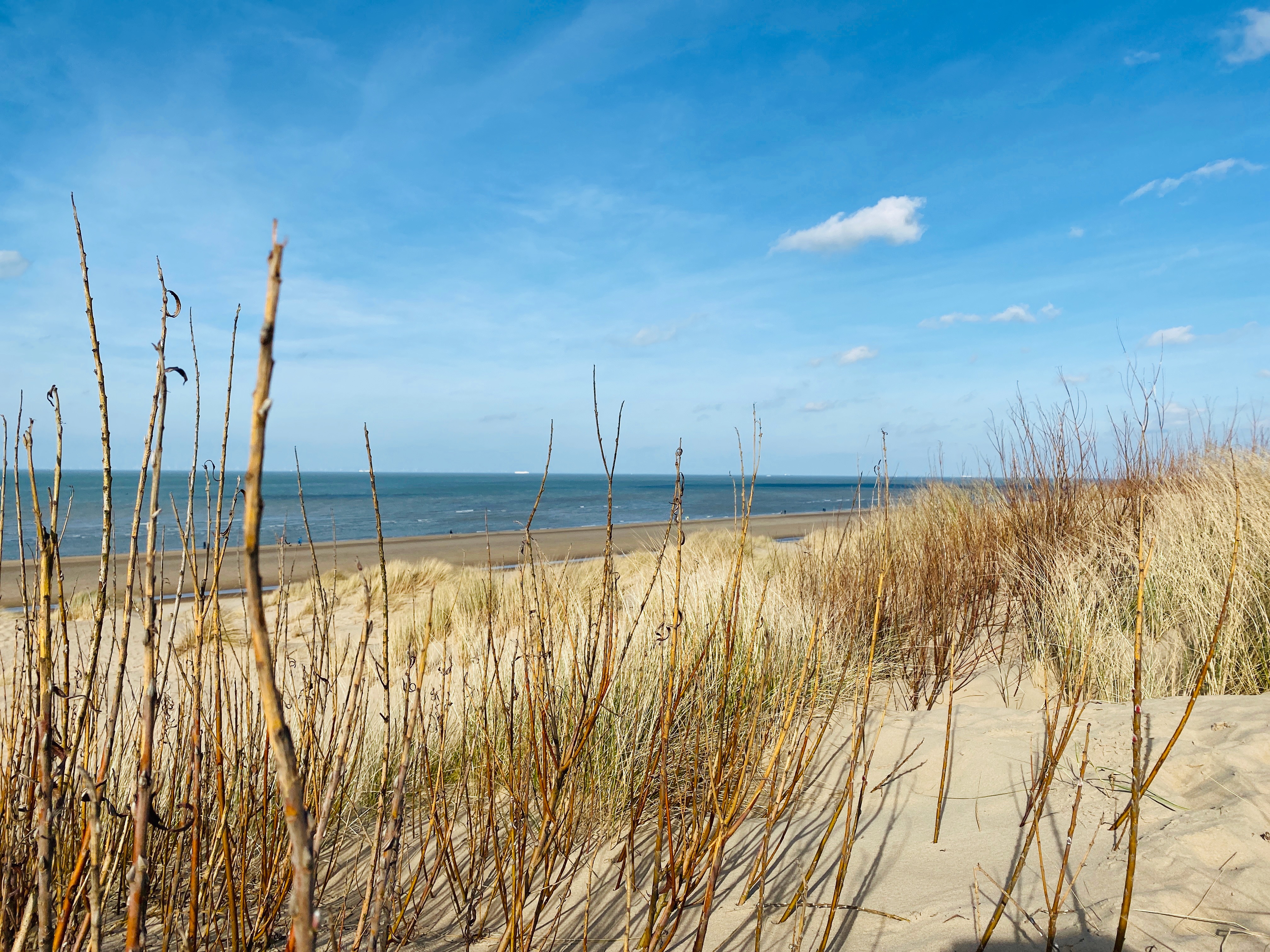
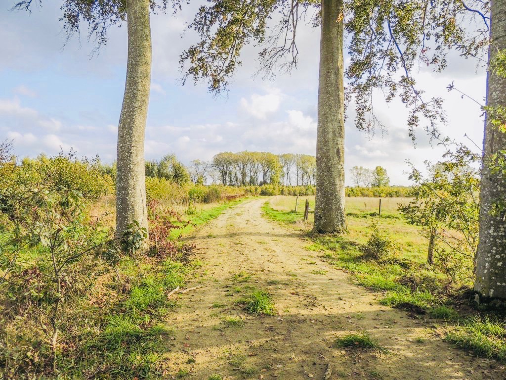
Here is a nice hike that is done in the vicinity of Waardamme. The route makes a loop between agricultural fields and green forests, including the very beautiful forest of Kampveld.

Already more than 200,000 users!
Uphill
27m
Highest point
31m
Downhill
27m
Lowest point
5m
Route type
Loop
Download the map on your smartphone to save battery and rest assured to always keep access to the route, even without signal.
Includes IGN France and Swisstopo.
I indicate whether dogs are allowed or prohibited on this trail
All year
0 ratings
Also enjoy:

Already more than 200,000 users!