Uphill
26m
Length
9km
Duration
2h30min
Elev gain
26m
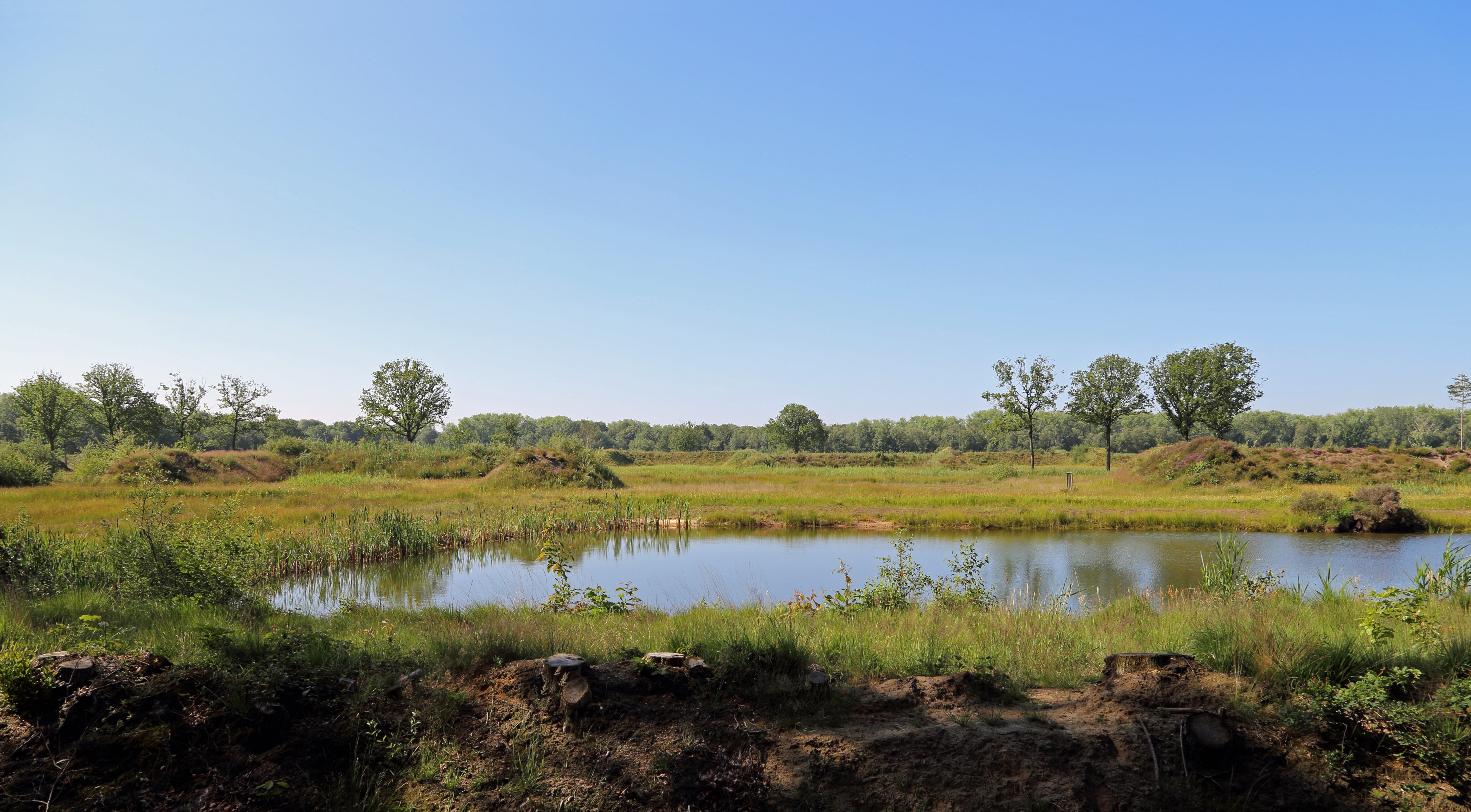
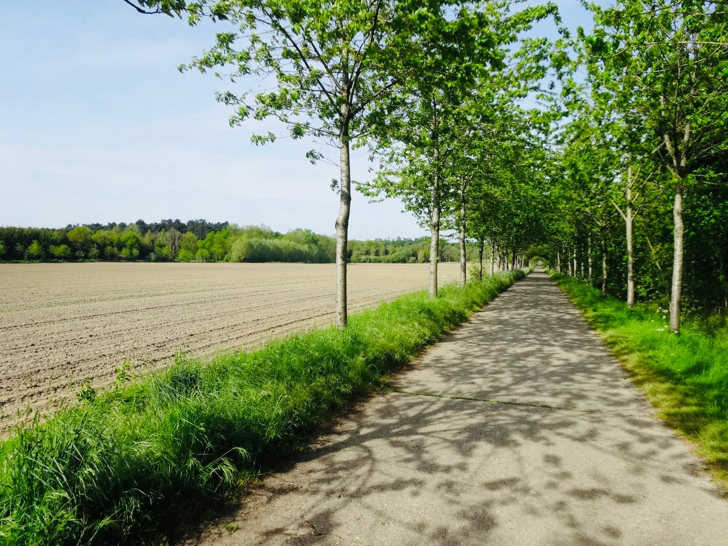
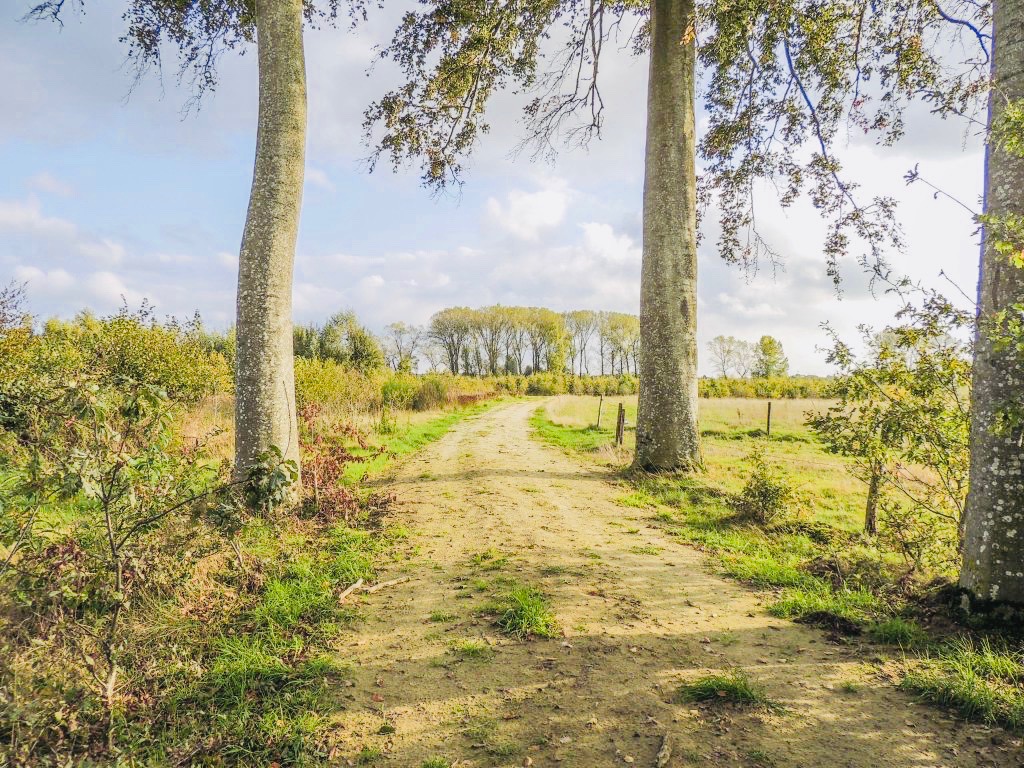
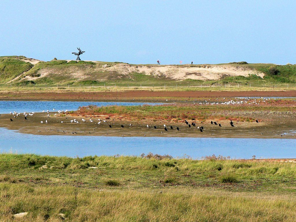
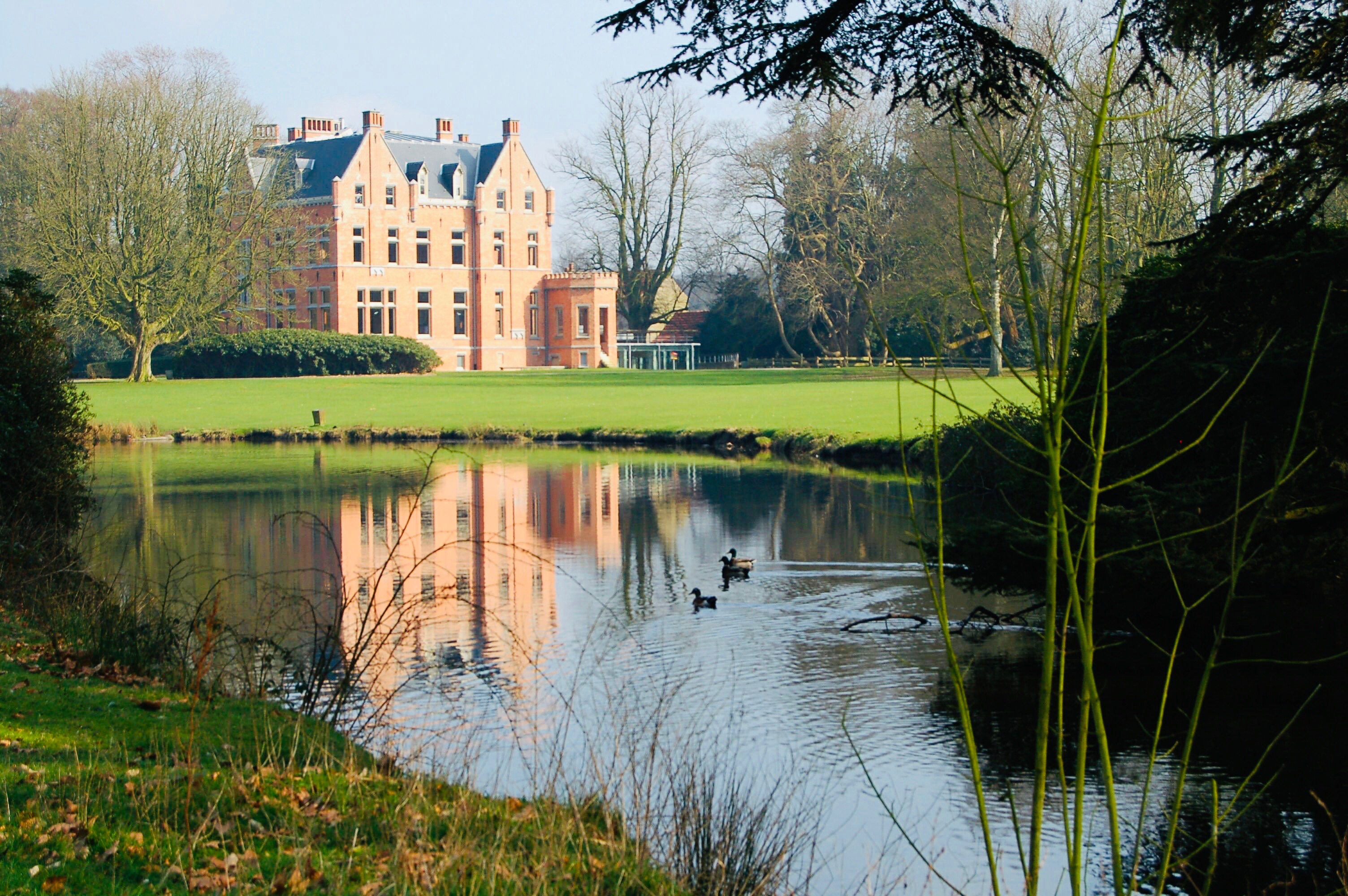
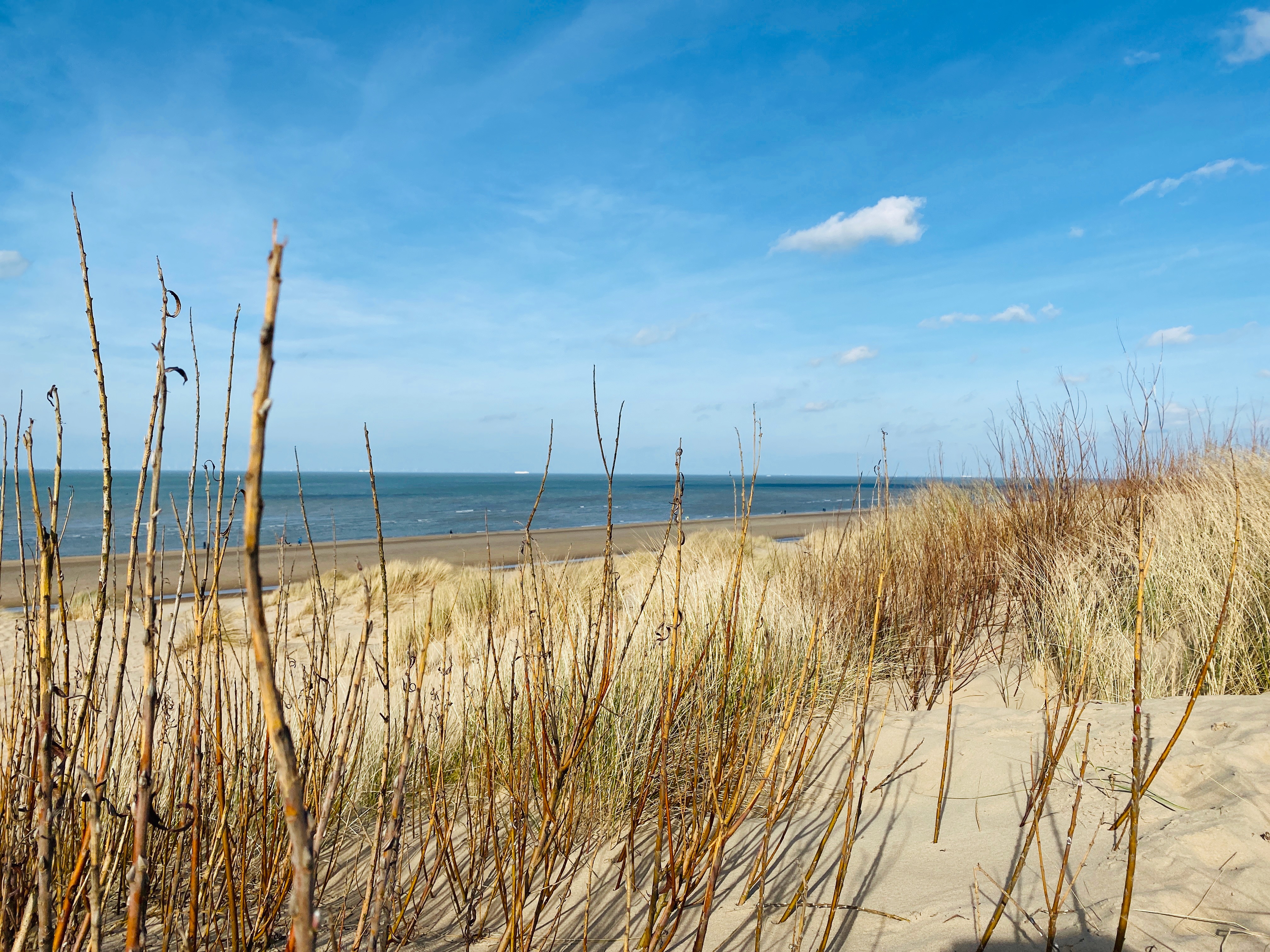
Superb walk in the Zandpanne nature reserve, near De Haan. The route makes a nice loop between dunes, forest and beach.
To be preferred at low tide to facilitate walking on the beach.

Already more than 200,000 users!
Uphill
26m
Highest point
18m
Downhill
26m
Lowest point
6m
Route type
Loop
Download the map on your smartphone to save battery and rest assured to always keep access to the route, even without signal.
Includes IGN France and Swisstopo.
I indicate whether dogs are allowed or prohibited on this trail
All year
0 ratings
Also enjoy:

Already more than 200,000 users!