Uphill
82m
Length
7km
Duration
2h
Elev gain
82m
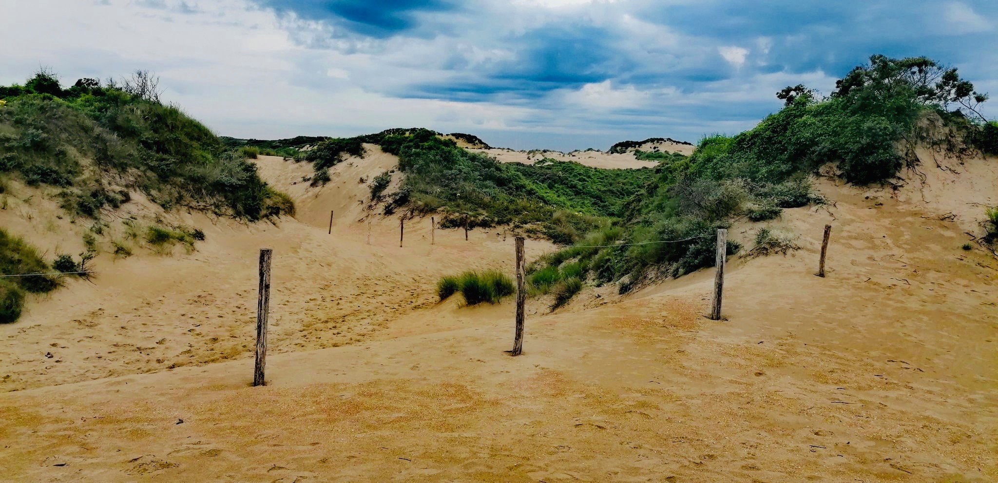
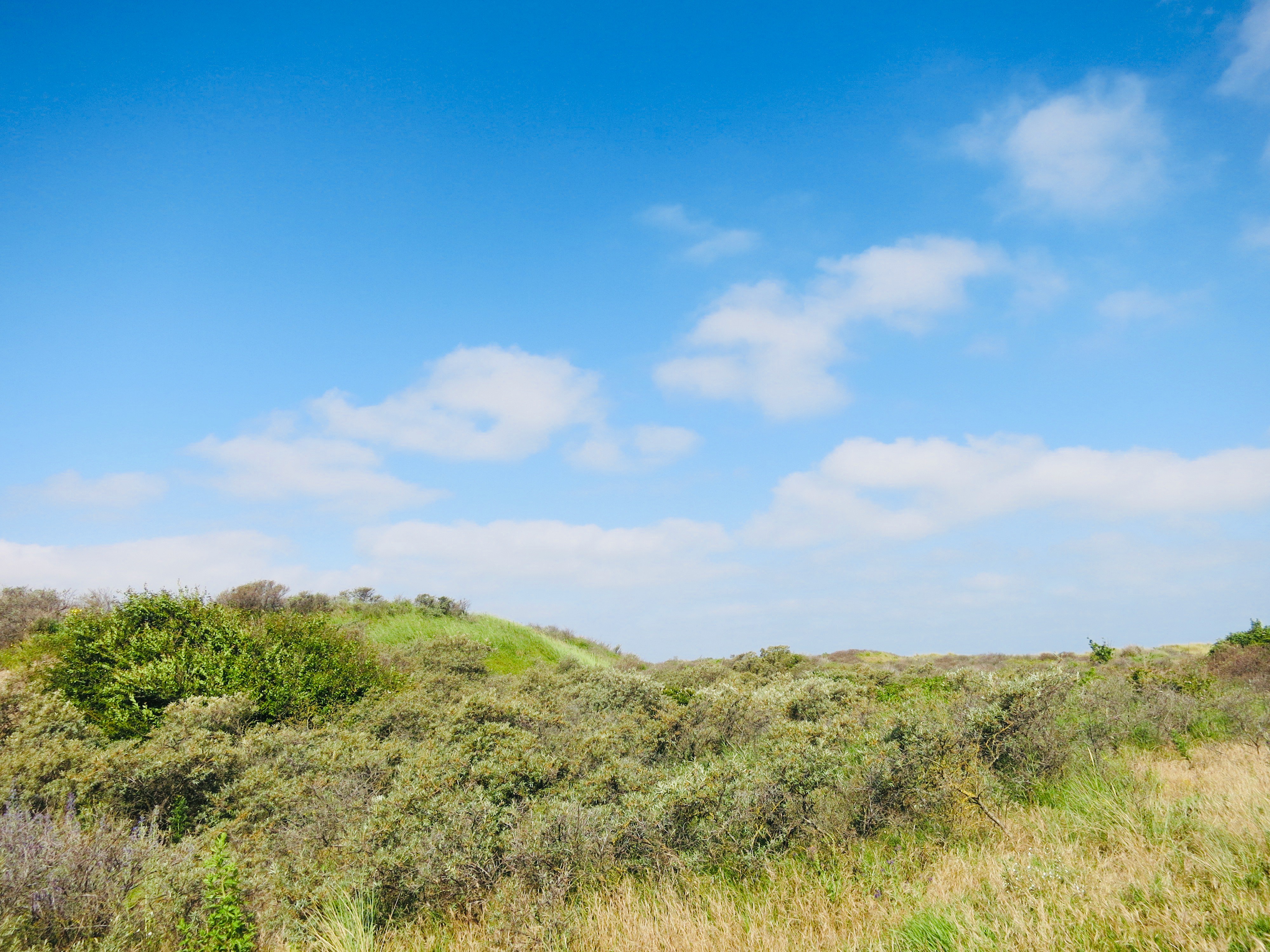
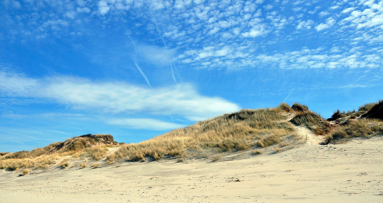
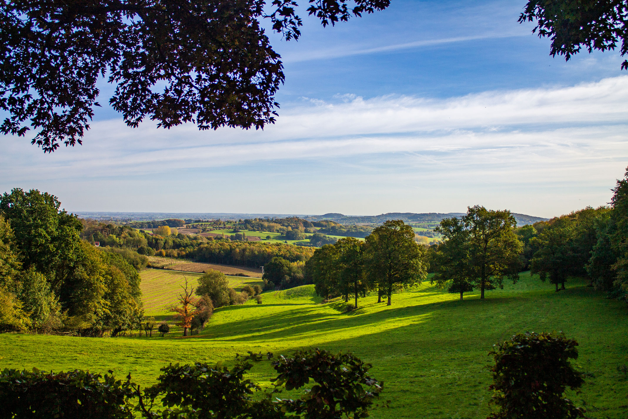
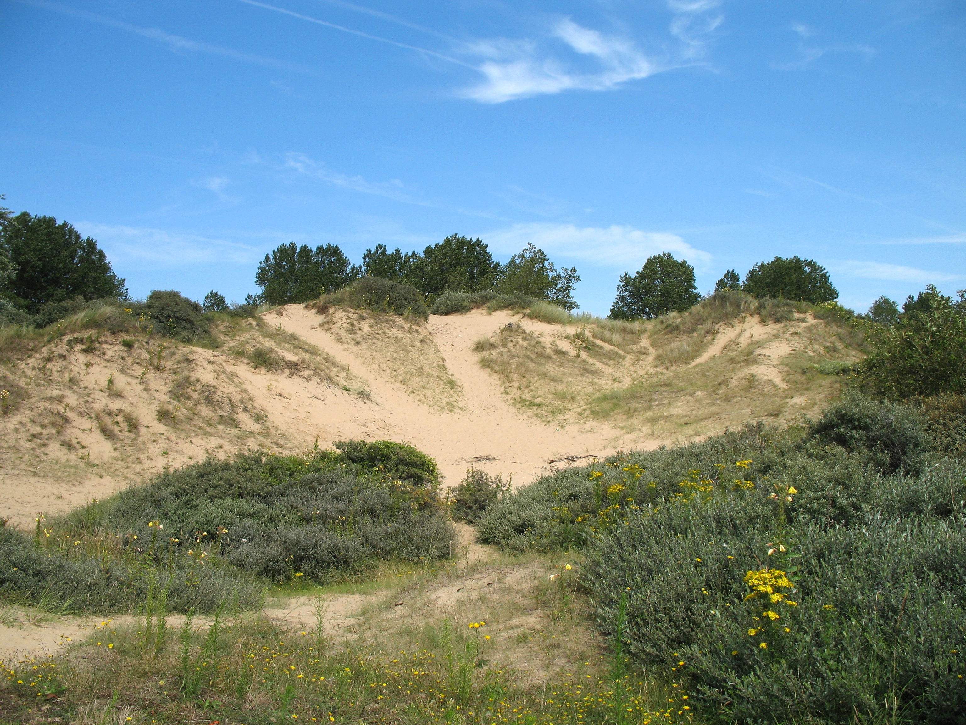
Pretty little walk that begins north of Ostdunkerque and loops through the sand dunes of Doornpanne before joining those of Hoge Blekke. The path crosses magnificent landscapes, but which are deserved because one tends to sink into the sand.

Already more than 200,000 users!
Uphill
82m
Highest point
31m
Downhill
82m
Lowest point
5m
Route type
Loop
Download the map on your smartphone to save battery and rest assured to always keep access to the route, even without signal.
Includes IGN France and Swisstopo.
I indicate whether dogs are allowed or prohibited on this trail
All year
0 ratings
Also enjoy:

Already more than 200,000 users!