Uphill
98m
Length
4km
Duration
1h
Elev gain
98m
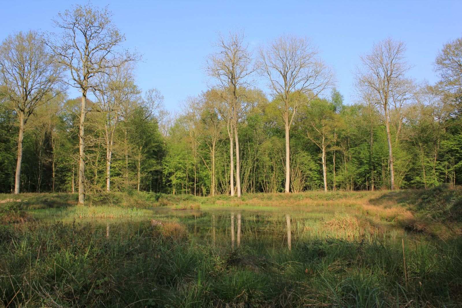
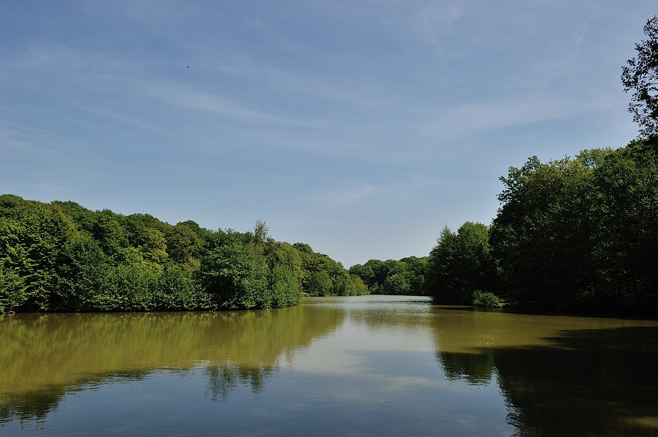
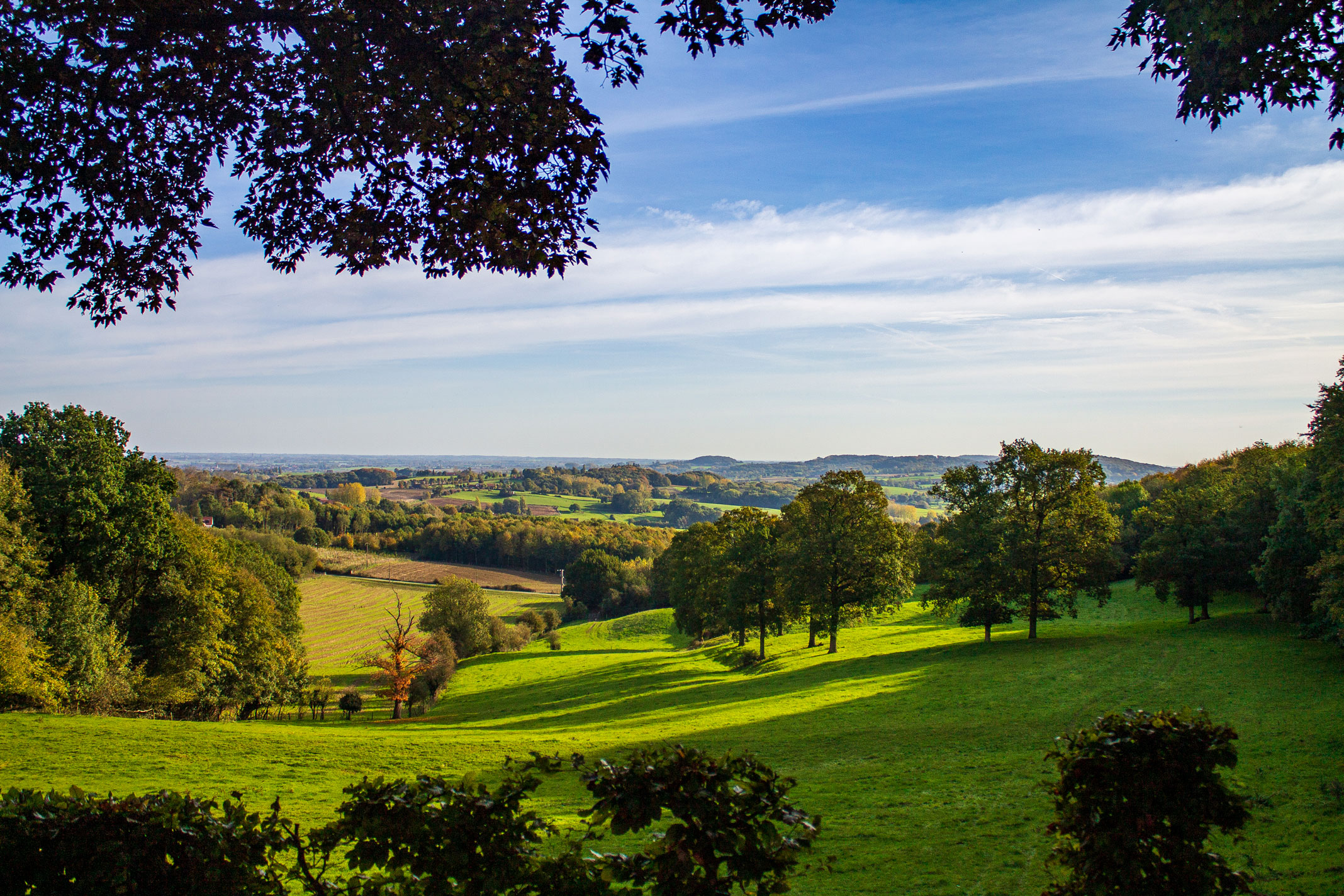
Stroll around Mont des Cats and its abbey, through paths and small roads.

Already more than 200,000 users!
Uphill
98m
Highest point
161m
Downhill
96m
Lowest point
104m
Route type
Loop
Download the map on your smartphone to save battery and rest assured to always keep access to the route, even without signal.
Includes IGN France and Swisstopo.
I indicate whether dogs are allowed or prohibited on this trail
All year
3 ratings
Also enjoy:

Already more than 200,000 users!