Uphill
45m
France > Hauts-de-France > Pas-de-Calais > Caps et Marais d'Opale Nature Park
Length
3km
Duration
1h
Elev gain
45m
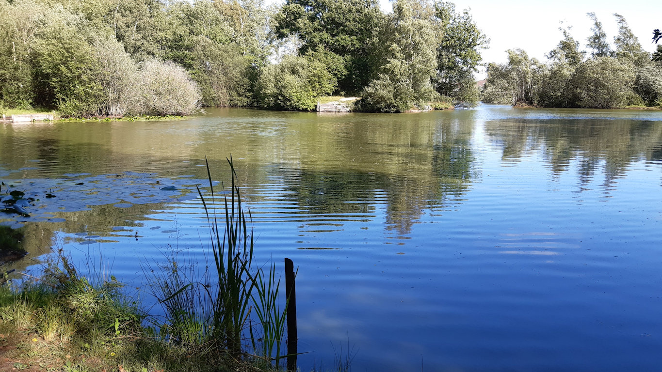
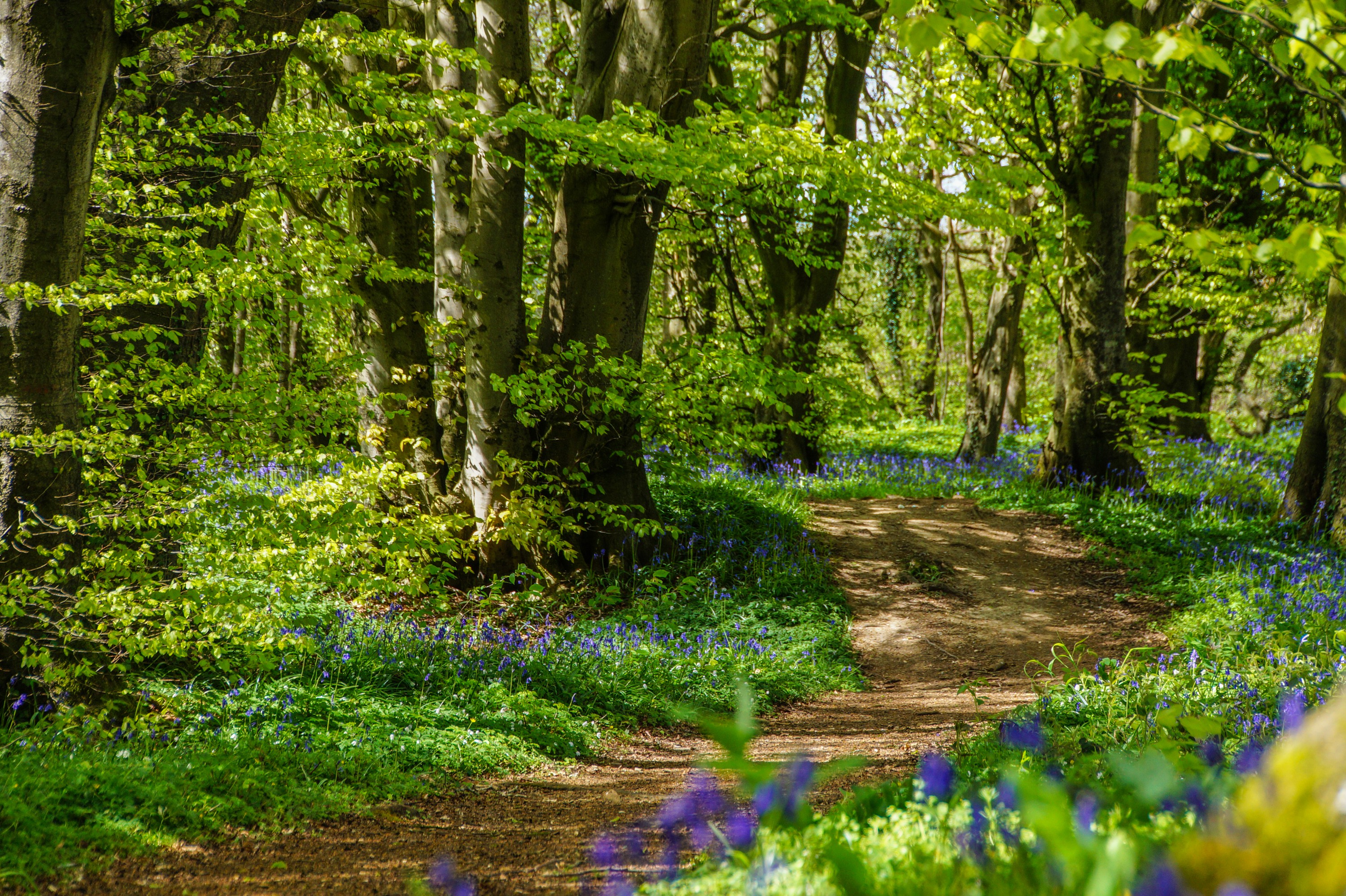
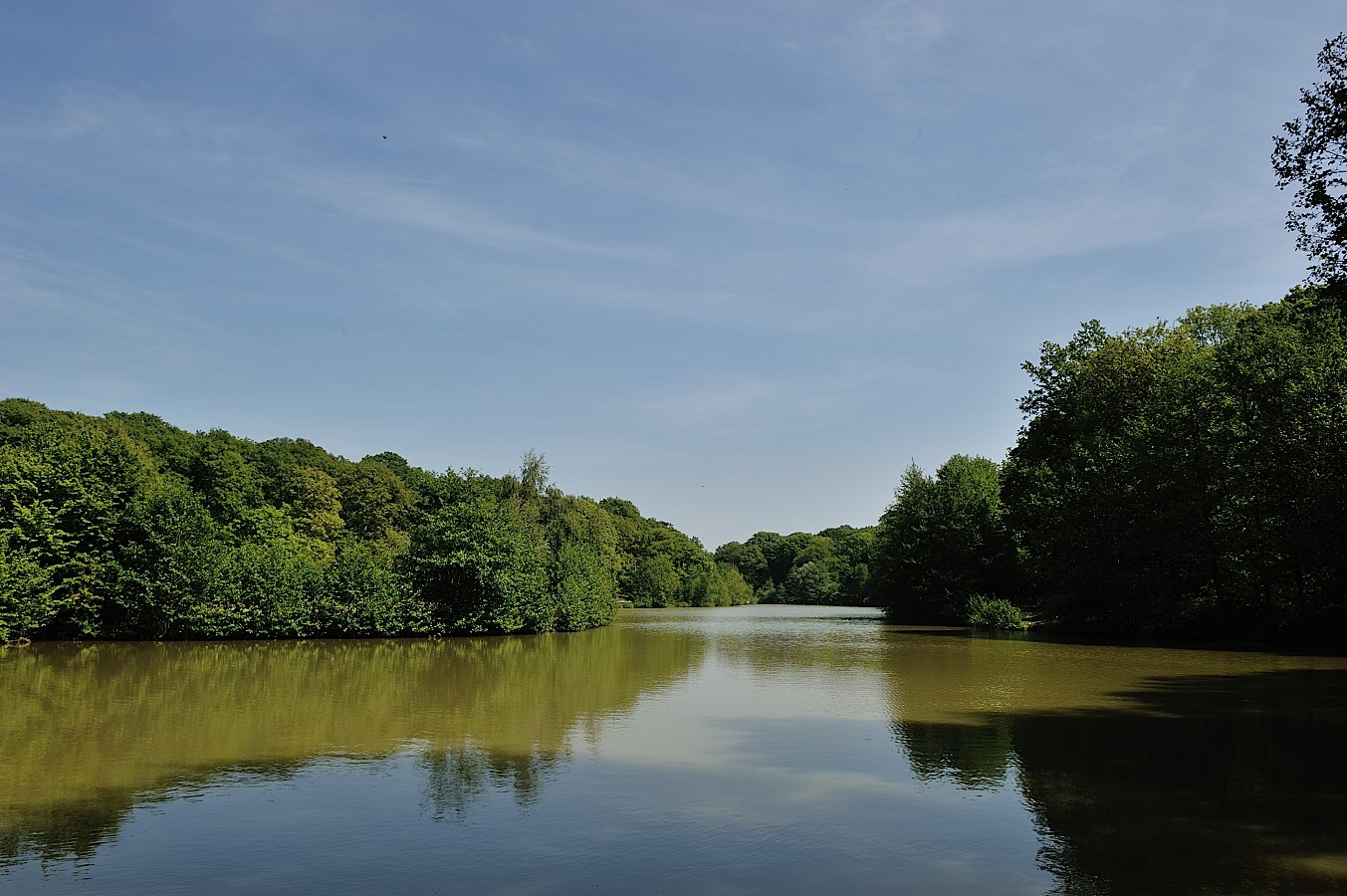
Stroll around the pond of Harchelles in the national forest of Rihoult-Clairmarais. A quiet, well maintained place that is popular with hikers and fishermen alike.

Already more than 200,000 users!
Uphill
45m
Highest point
41m
Downhill
45m
Lowest point
2m
Route type
Loop
Download the map on your smartphone to save battery and rest assured to always keep access to the route, even without signal.
Includes IGN France and Swisstopo.
I indicate whether dogs are allowed or prohibited on this trail
All year
0 ratings
Also enjoy:

Already more than 200,000 users!