Uphill
102m
Length
10km
Duration
3h
Elev gain
102m
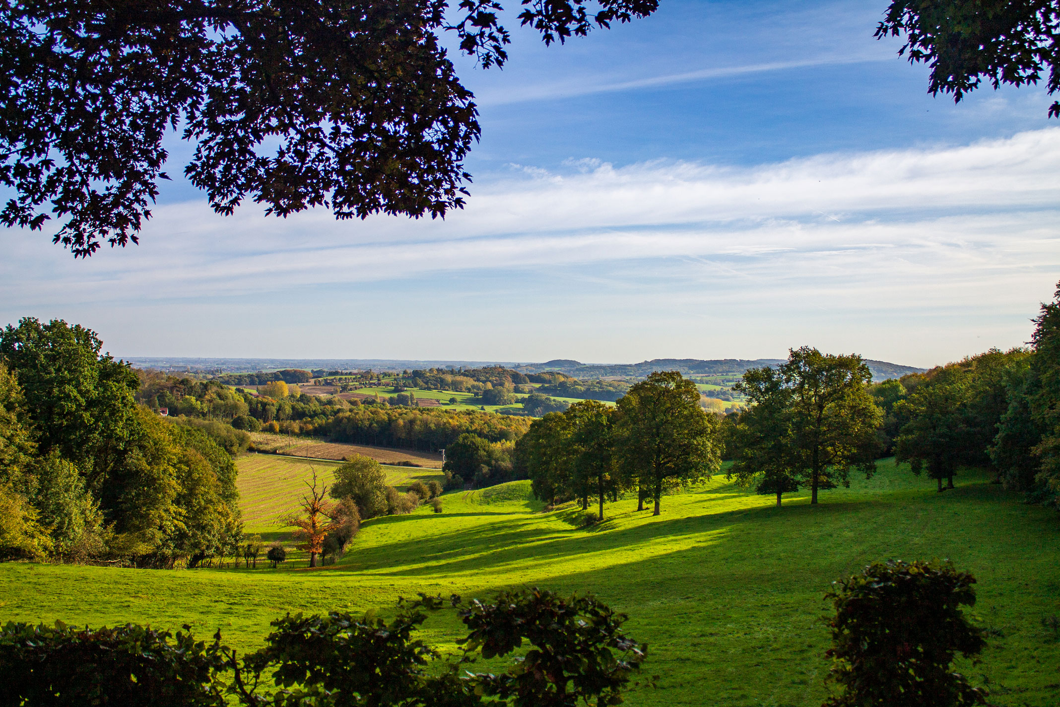
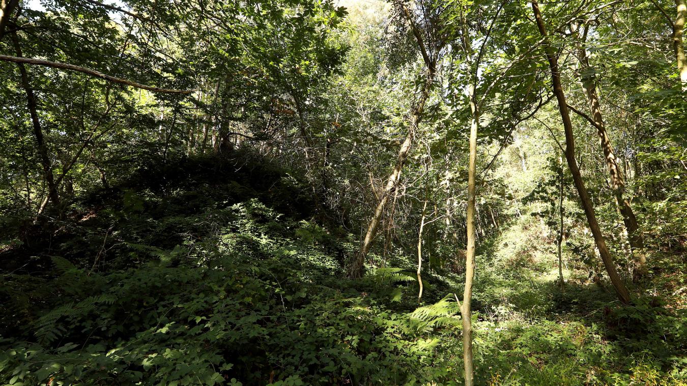
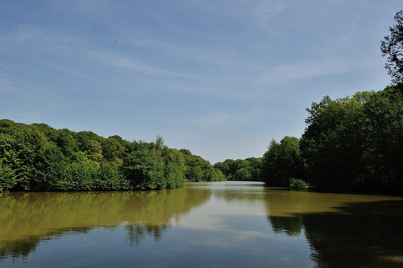
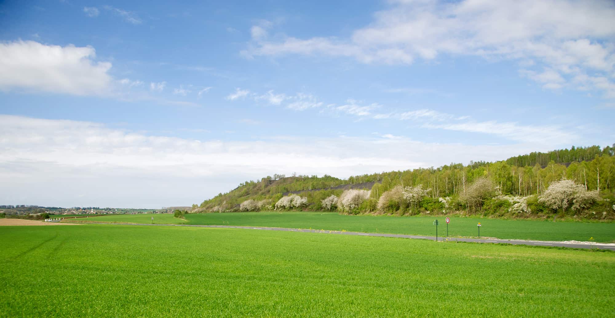
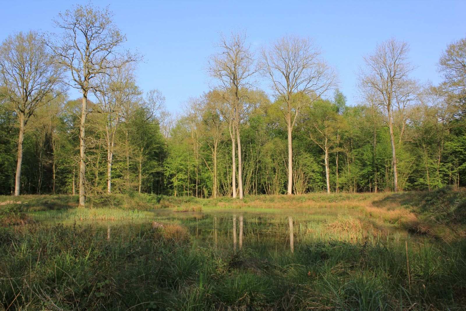
Walk in the most extensive forest in French Flanders, mainly made up of oaks, ash and cherry trees. Note that the path can be muddy, and the vegetation is sometimes overwhelming.

Already more than 200,000 users!
Uphill
102m
Highest point
56m
Downhill
102m
Lowest point
14m
Route type
Loop
Download the map on your smartphone to save battery and rest assured to always keep access to the route, even without signal.
Includes IGN France and Swisstopo.
I indicate whether dogs are allowed or prohibited on this trail
All year
1 rating
Also enjoy:

Already more than 200,000 users!