Uphill
161m
Length
8km
Duration
2h30min
Elev gain
161m
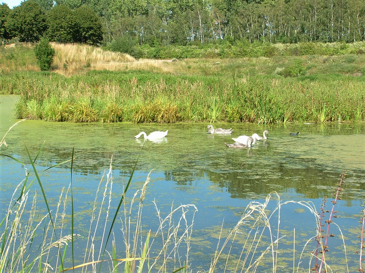
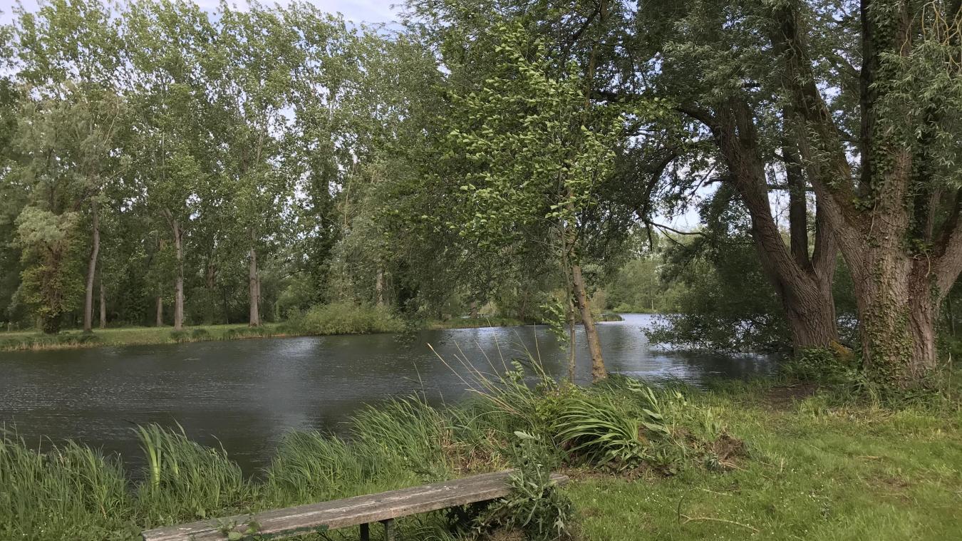
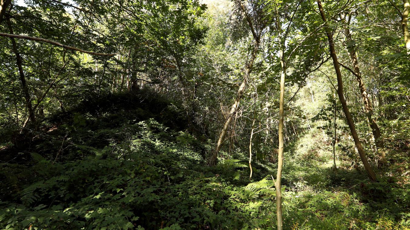
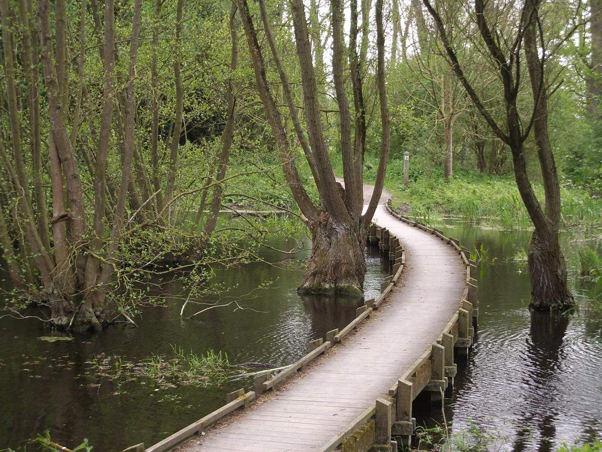
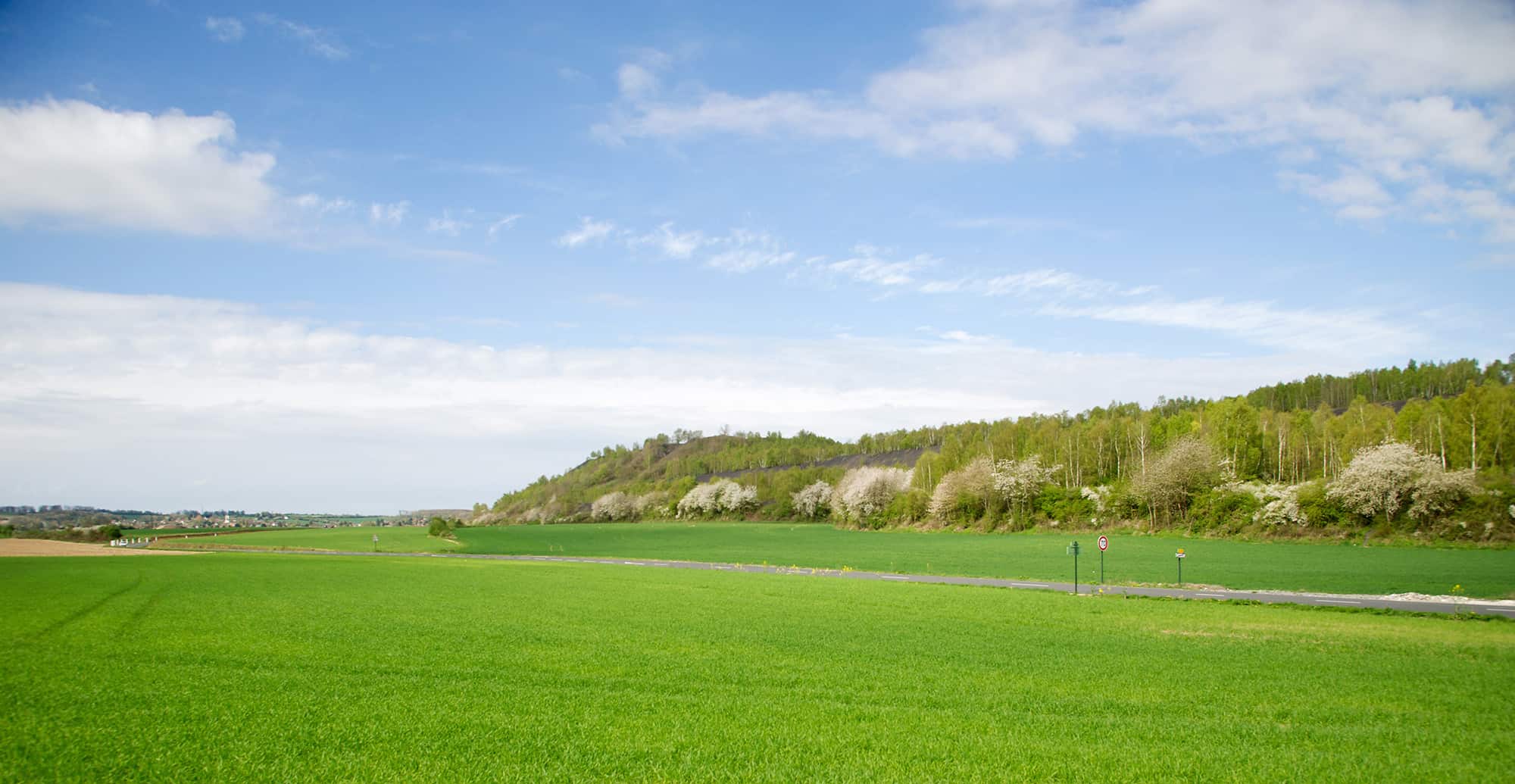
Walk through the wood of Givenchy to reach the slag heap 75 of Pinchonvalles, a vestige of the mining past listed as a UNESCO World Heritage Site.
The place is now home to a rich flora and fauna.

Already more than 200,000 users!
Uphill
161m
Highest point
119m
Downhill
161m
Lowest point
44m
Route type
Loop
Download the map on your smartphone to save battery and rest assured to always keep access to the route, even without signal.
Includes IGN France and Swisstopo.
I indicate whether dogs are allowed or prohibited on this trail
All year
1 rating
Also enjoy:

Already more than 200,000 users!