Uphill
71m
Length
10km
Duration
2h30min
Elev gain
71m
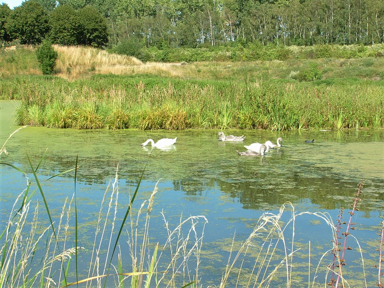
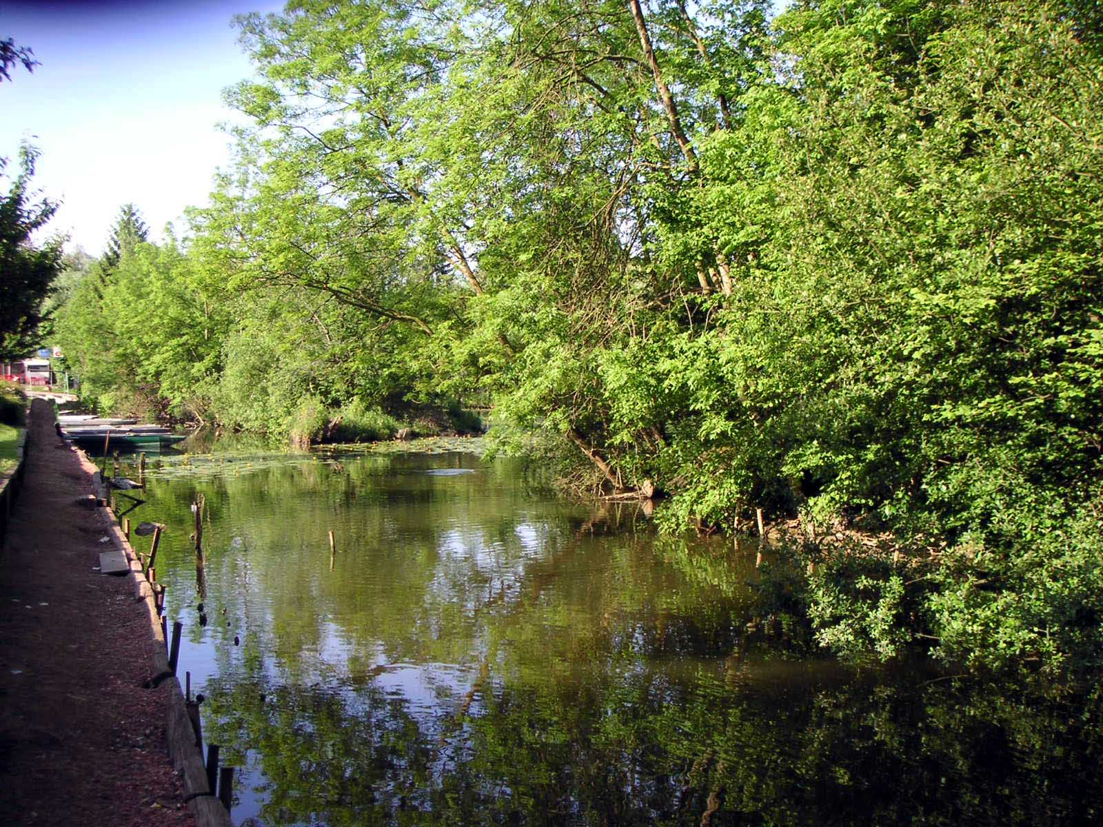
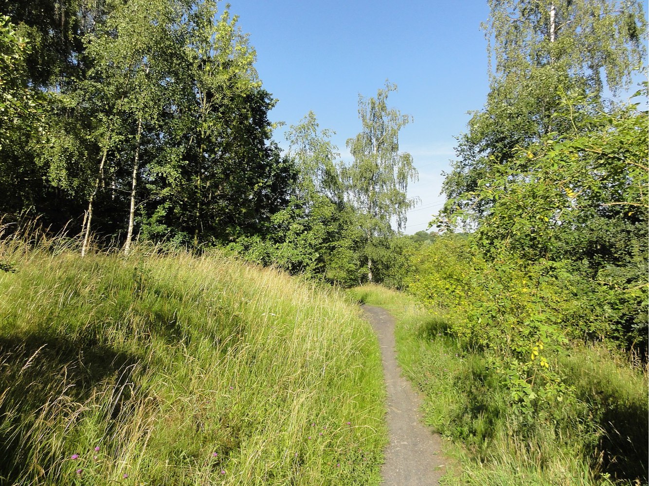
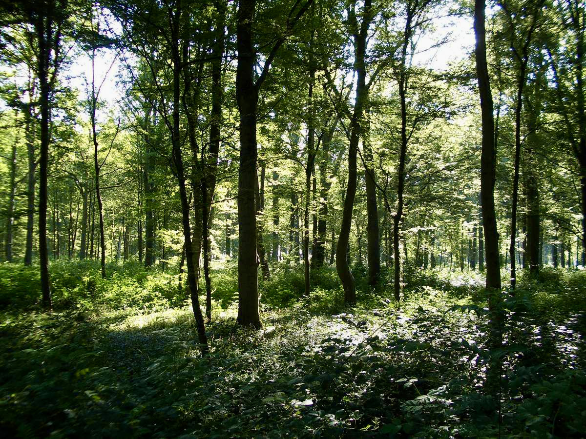
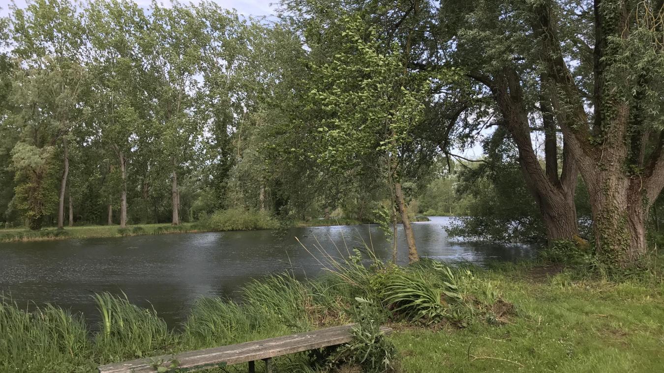
Pleasant route in the heart of the Biache-Saint-Vaast marshes. The trail runs alongside the canalised Scarpe, and passes near Lac Bleu.
Note that the path can be muddy if it has rained a lot the previous days.

Already more than 200,000 users!
Uphill
71m
Highest point
60m
Downhill
71m
Lowest point
36m
Route type
Loop
Download the map on your smartphone to save battery and rest assured to always keep access to the route, even without signal.
Includes IGN France and Swisstopo.
I indicate whether dogs are allowed or prohibited on this trail
All year
2 ratings
Also enjoy:

Already more than 200,000 users!