Uphill
113m
Length
10km
Duration
3h
Elev gain
113m
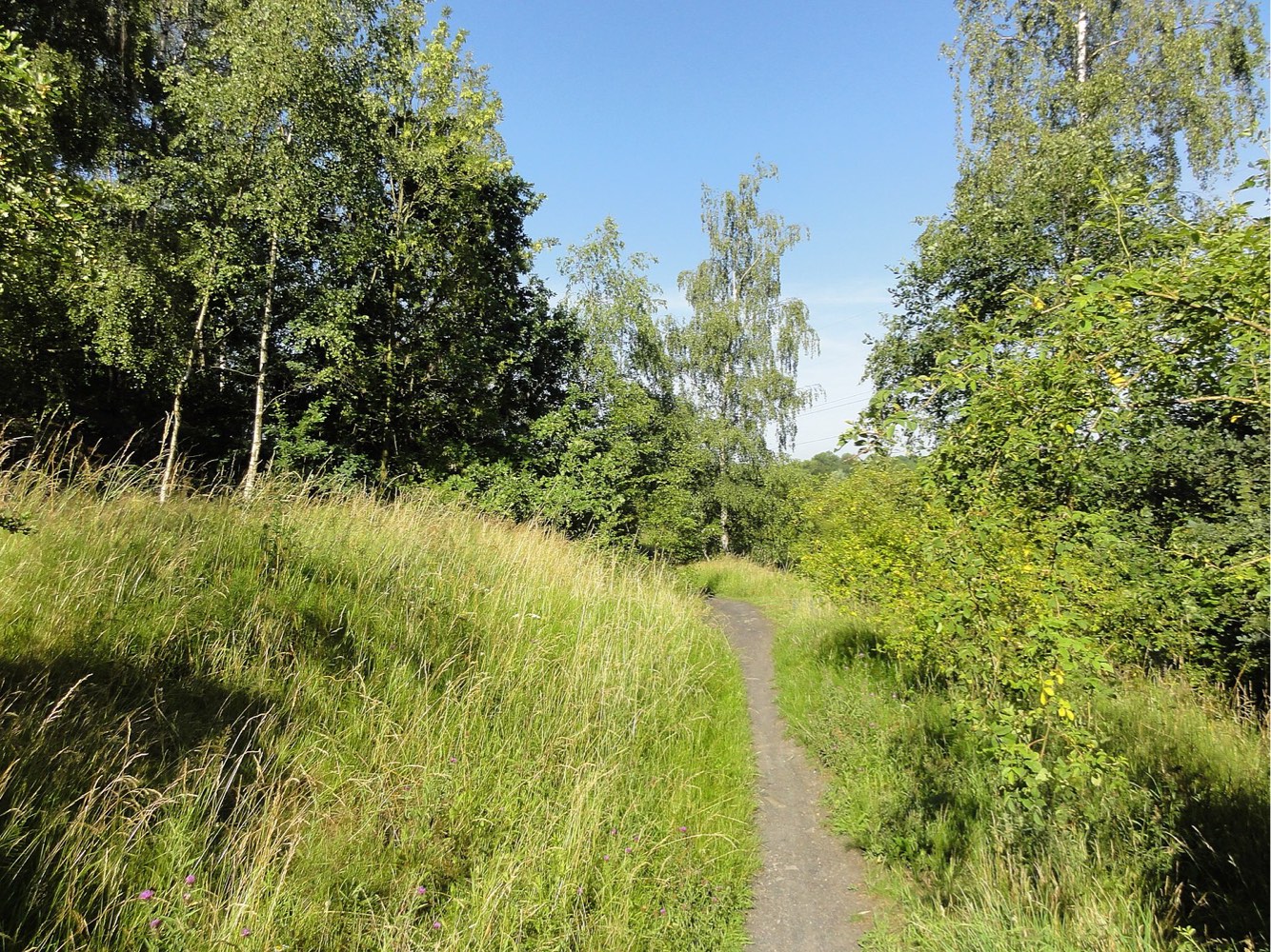
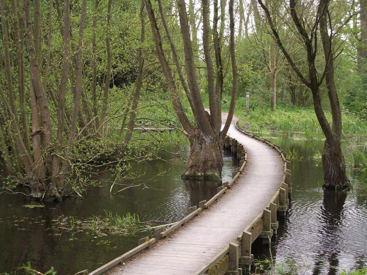
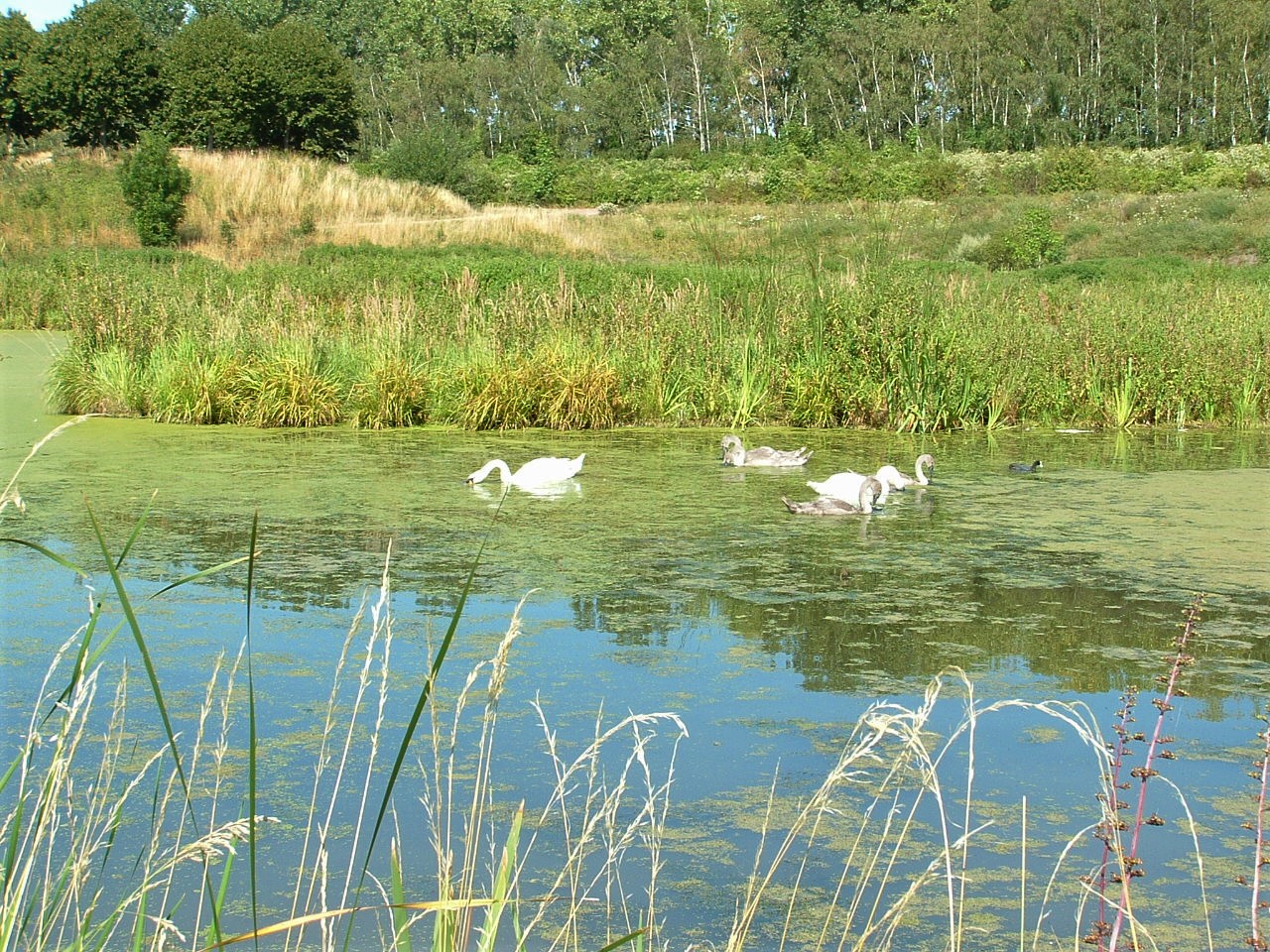
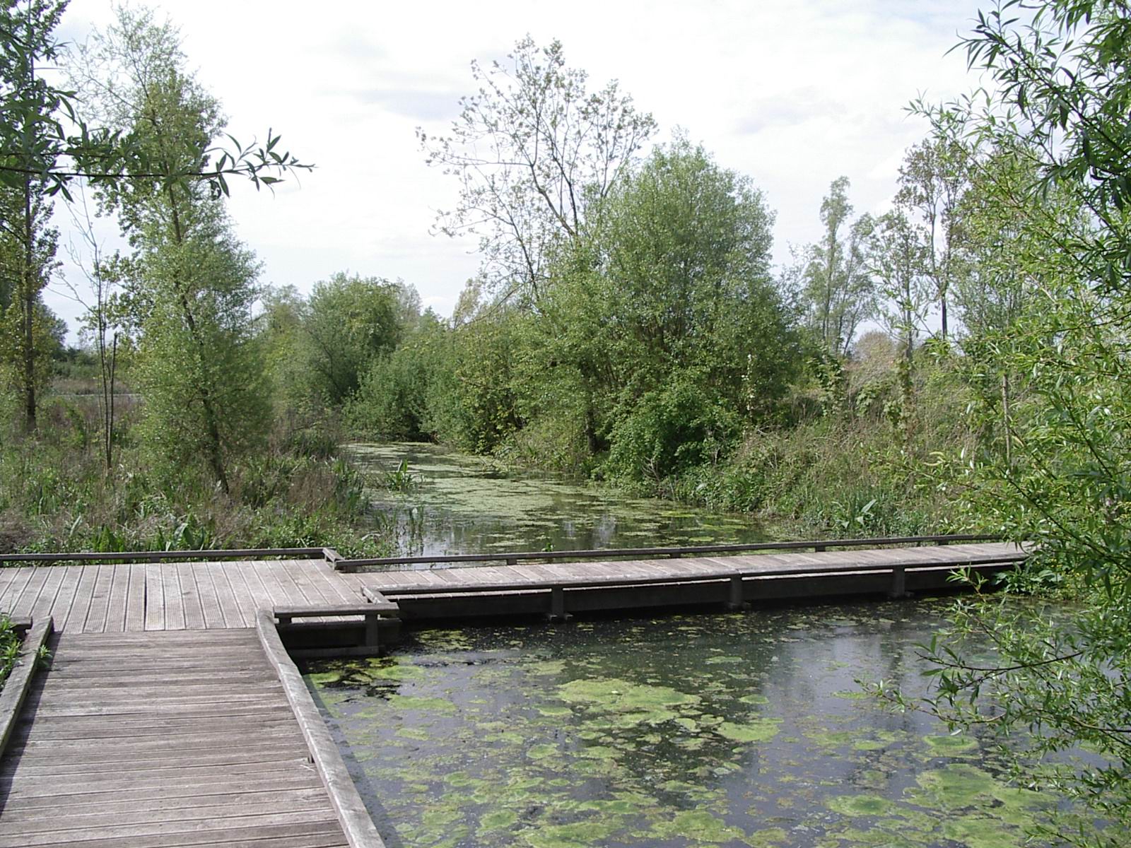
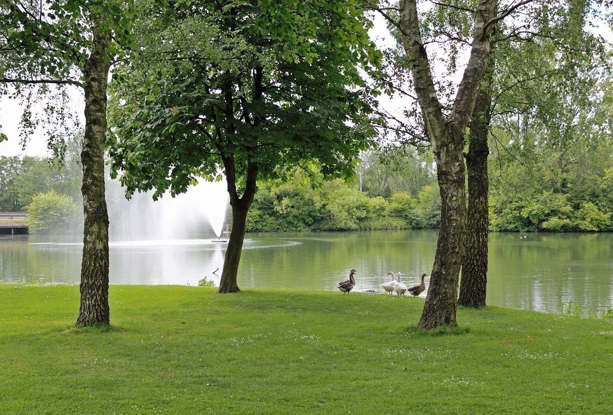
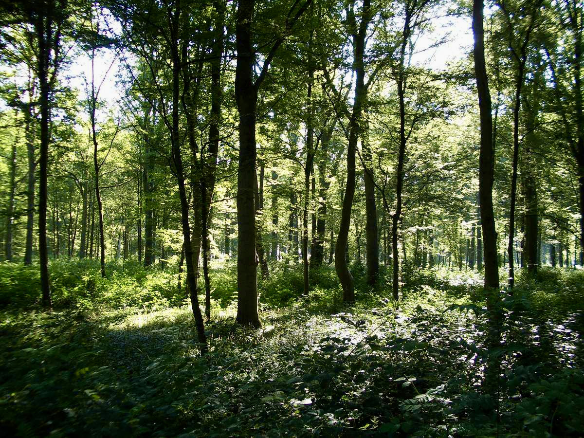
Stroll in the pretty national forest of Phalempin, which is of great biodiversity. Note that there is a picnic area near the ponds, at the end of the trail.

Already more than 200,000 users!
Uphill
113m
Highest point
77m
Downhill
113m
Lowest point
39m
Route type
Loop
Download the map on your smartphone to save battery and rest assured to always keep access to the route, even without signal.
Includes IGN France and Swisstopo.
I indicate whether dogs are allowed or prohibited on this trail
All year
2 ratings
Also enjoy:

Already more than 200,000 users!