Uphill
96m
Length
12km
Duration
3h30min
Elev gain
96m
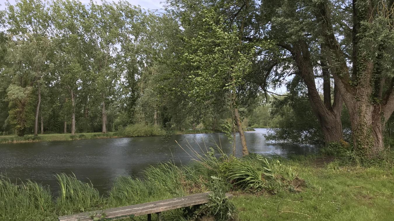
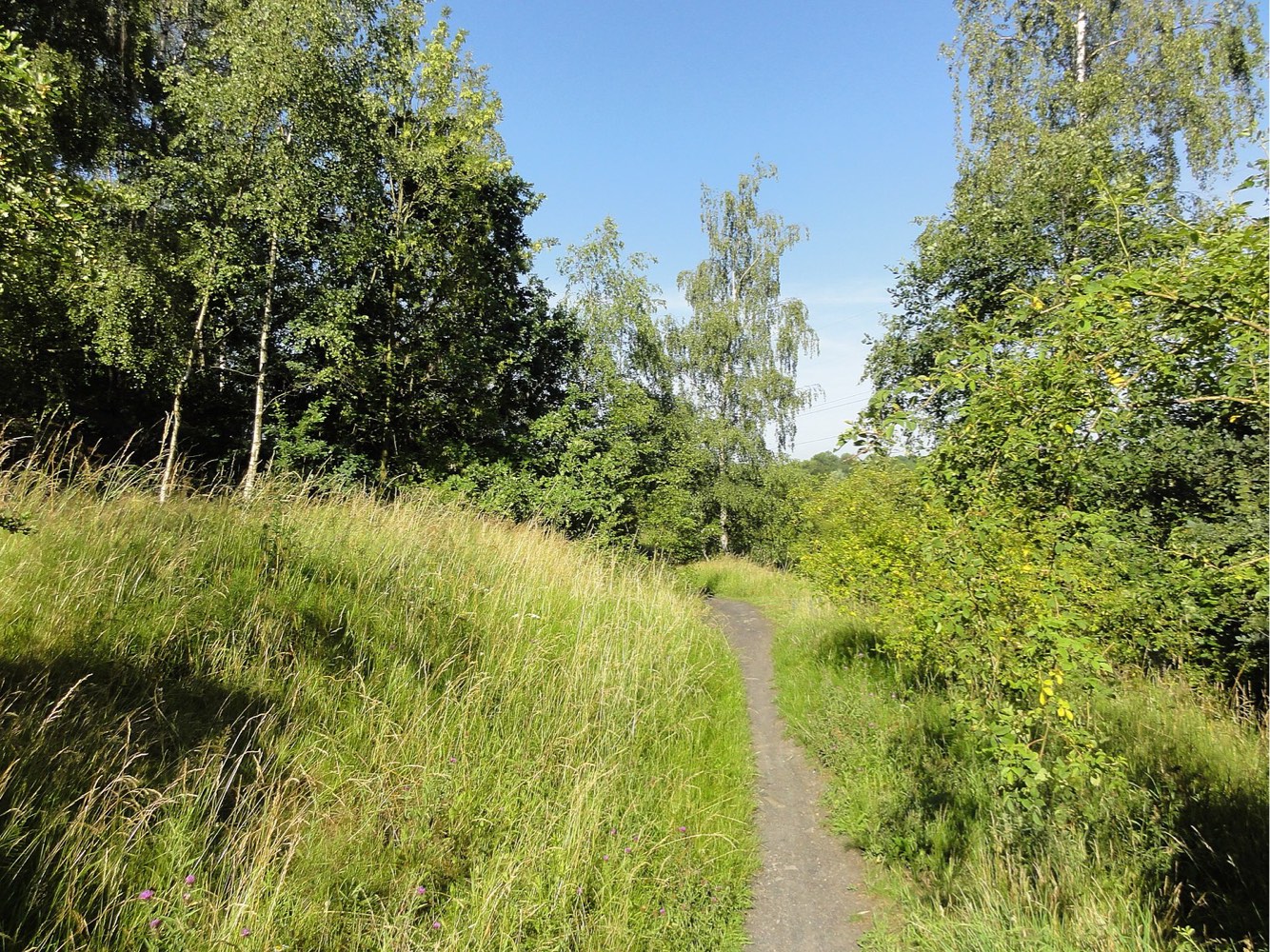
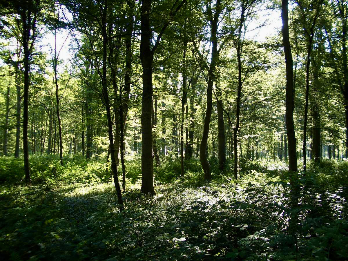
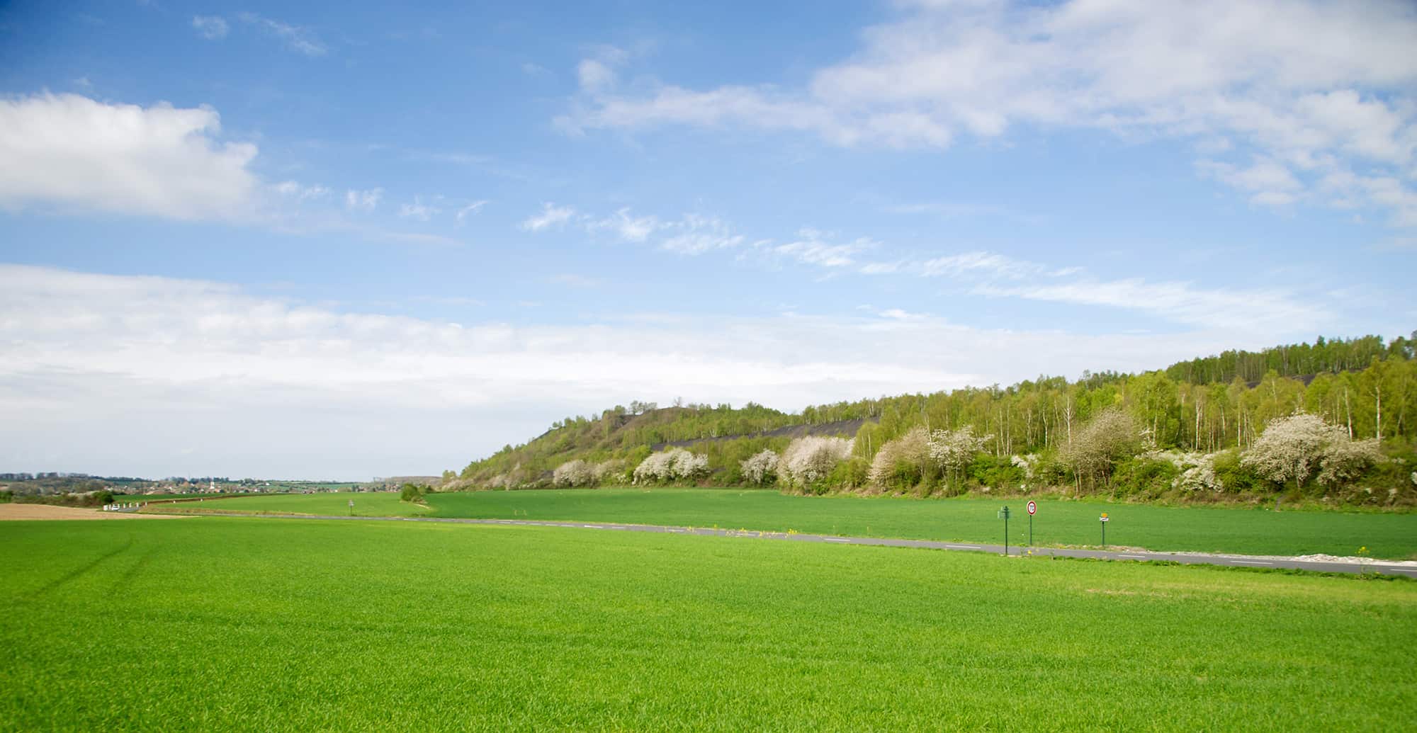
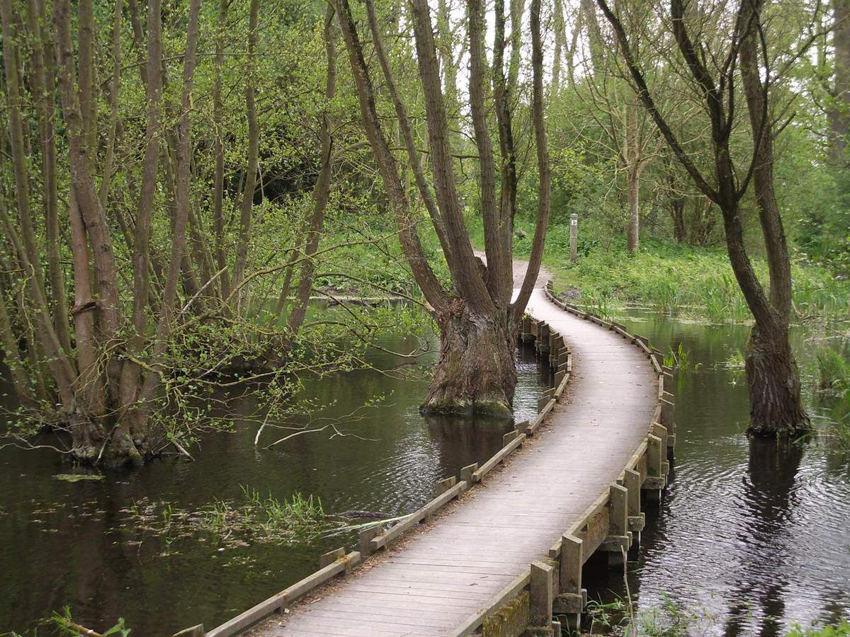
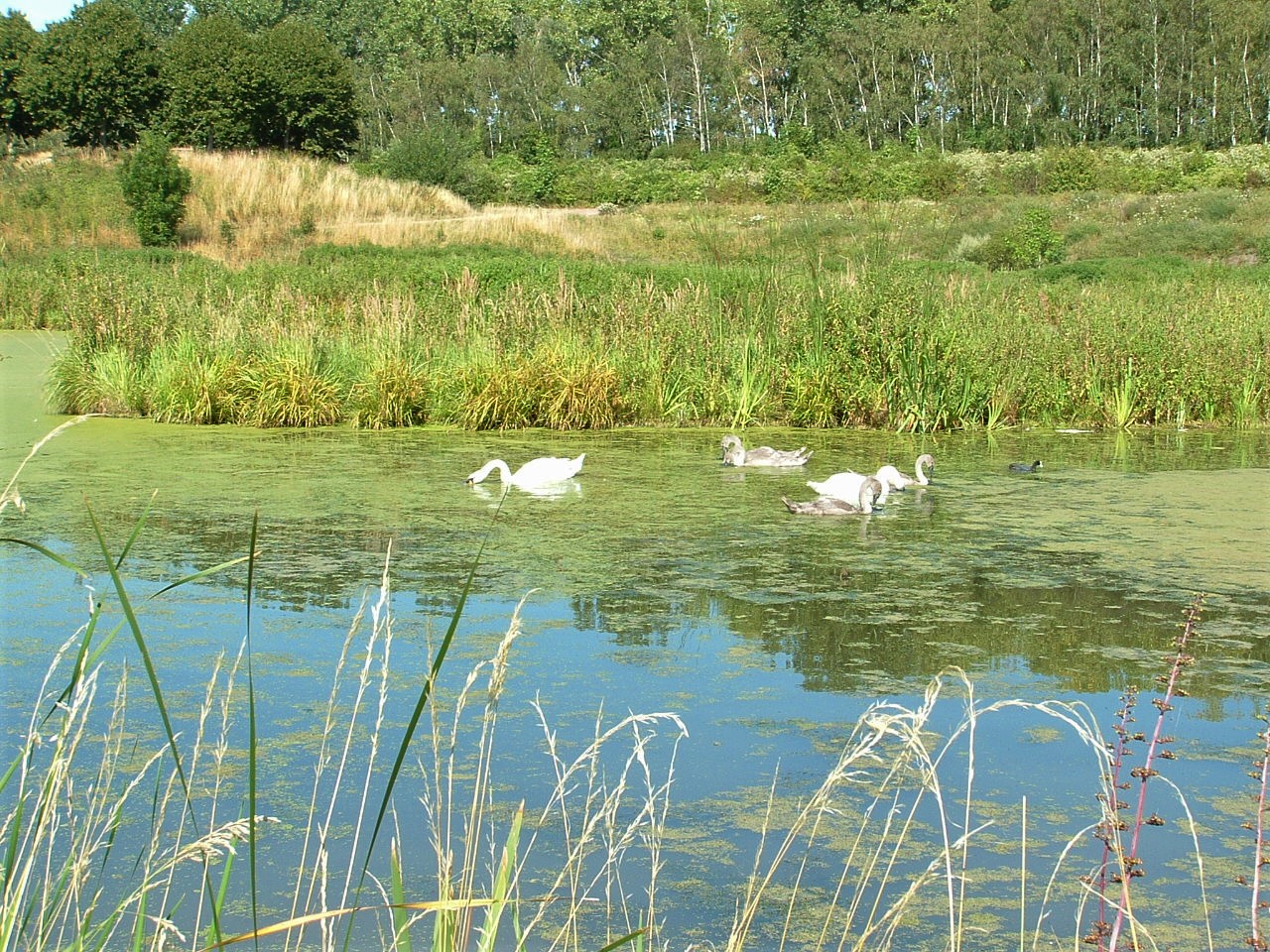
Departing from Montigny-en-Gohelle, this walk goes around the lake at the leisure center, crosses through the Bois de Florimond, and then heads to the Lens canal. This has been recently refurbished and offers relaxation areas in a wooded setting, near slag heaps and ponds.

Already more than 200,000 users!
Uphill
96m
Highest point
42m
Downhill
96m
Lowest point
10m
Route type
Loop
Download the map on your smartphone to save battery and rest assured to always keep access to the route, even without signal.
Includes IGN France and Swisstopo.
I indicate whether dogs are allowed or prohibited on this trail
All year
0 ratings
Also enjoy:

Already more than 200,000 users!