Uphill
142m
Length
6km
Duration
2h
Elev gain
142m
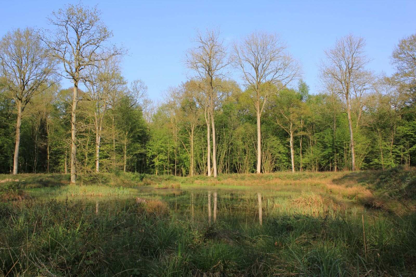
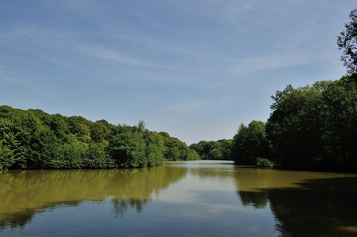
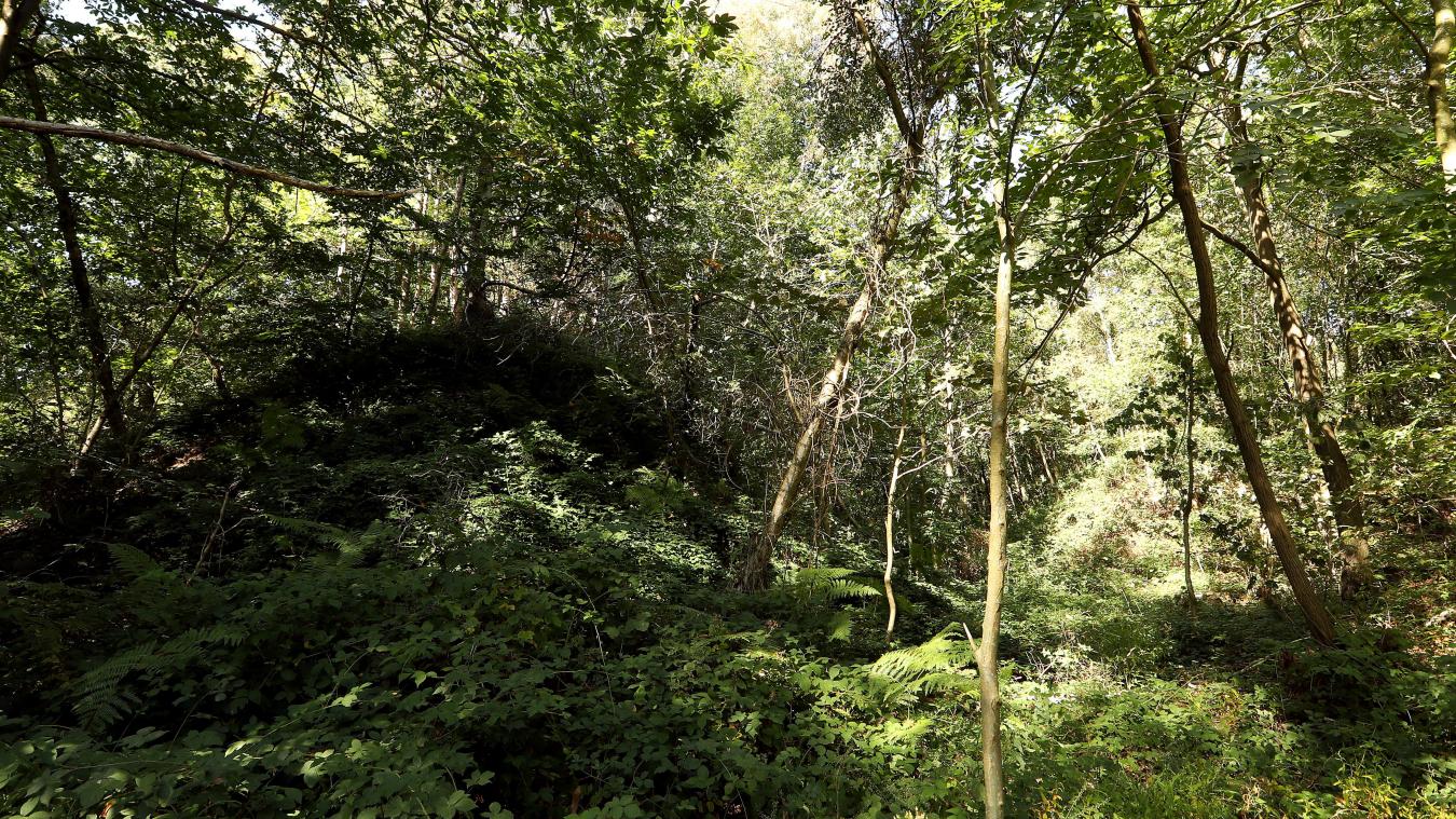
Walk in a historic wood of Bruay-La Buissière, whose origin dates back to the Middle Ages when it was reserved for nuns. The paths are numerous, so don't hesitate to walk away from our trail suggestion.

Already more than 200,000 users!
Uphill
142m
Highest point
110m
Downhill
142m
Lowest point
38m
Route type
Loop
Download the map on your smartphone to save battery and rest assured to always keep access to the route, even without signal.
Includes IGN France and Swisstopo.
I indicate whether dogs are allowed or prohibited on this trail
All year
1 rating
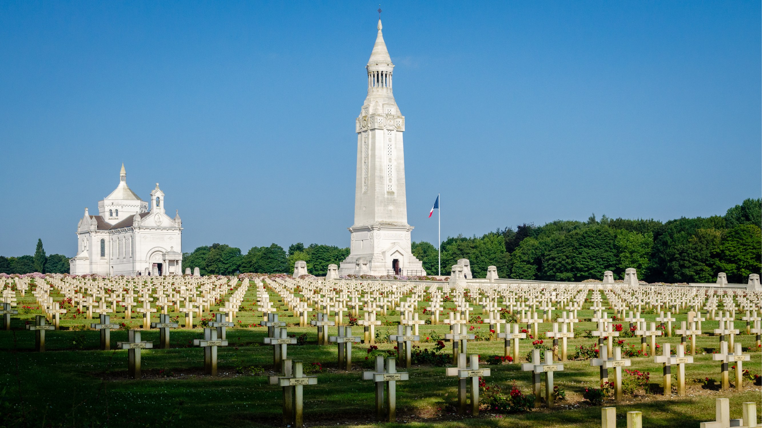
Also enjoy:

Already more than 200,000 users!