Uphill
194m
Length
12km
Duration
3h30min
Elev gain
194m
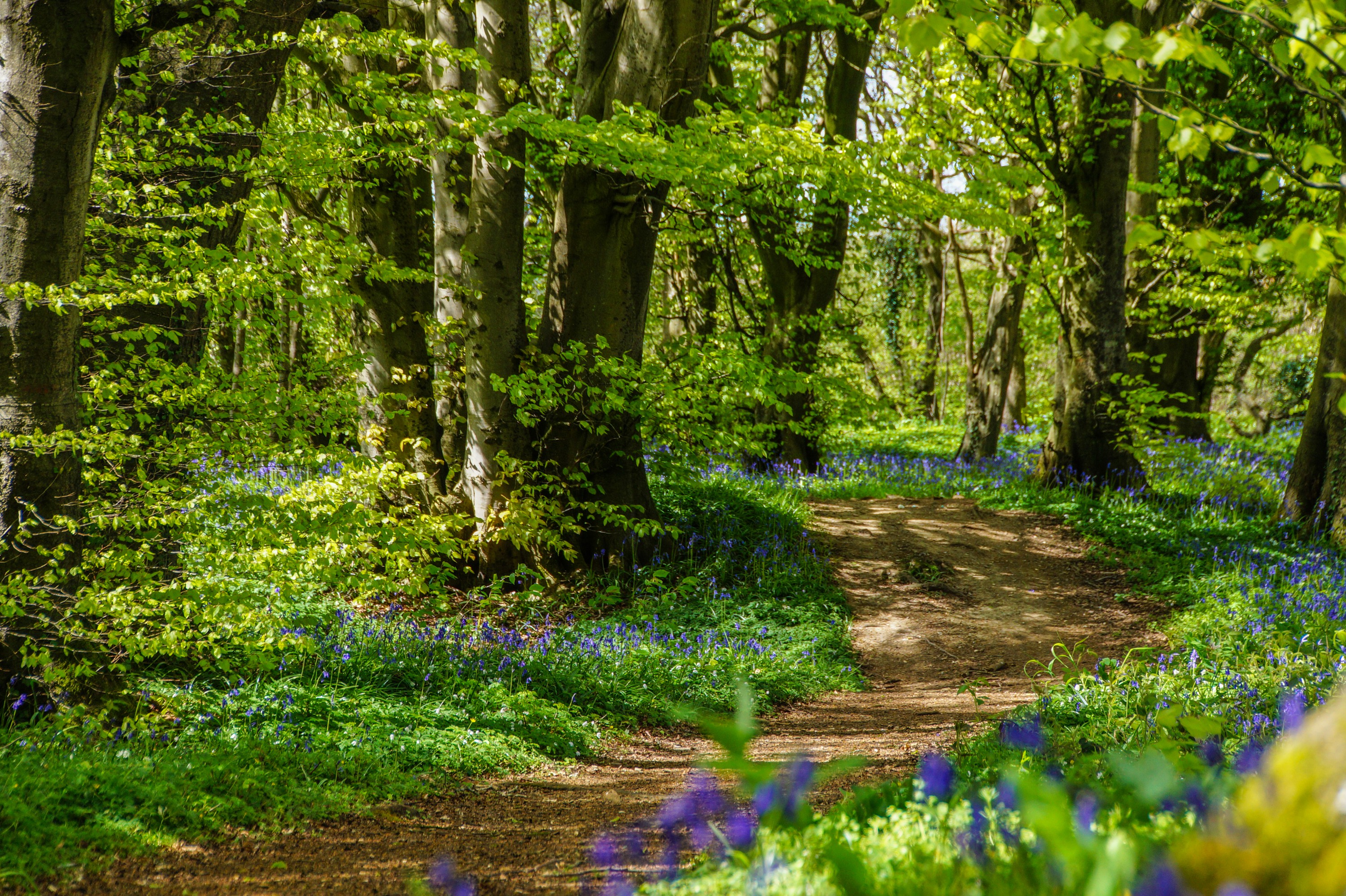
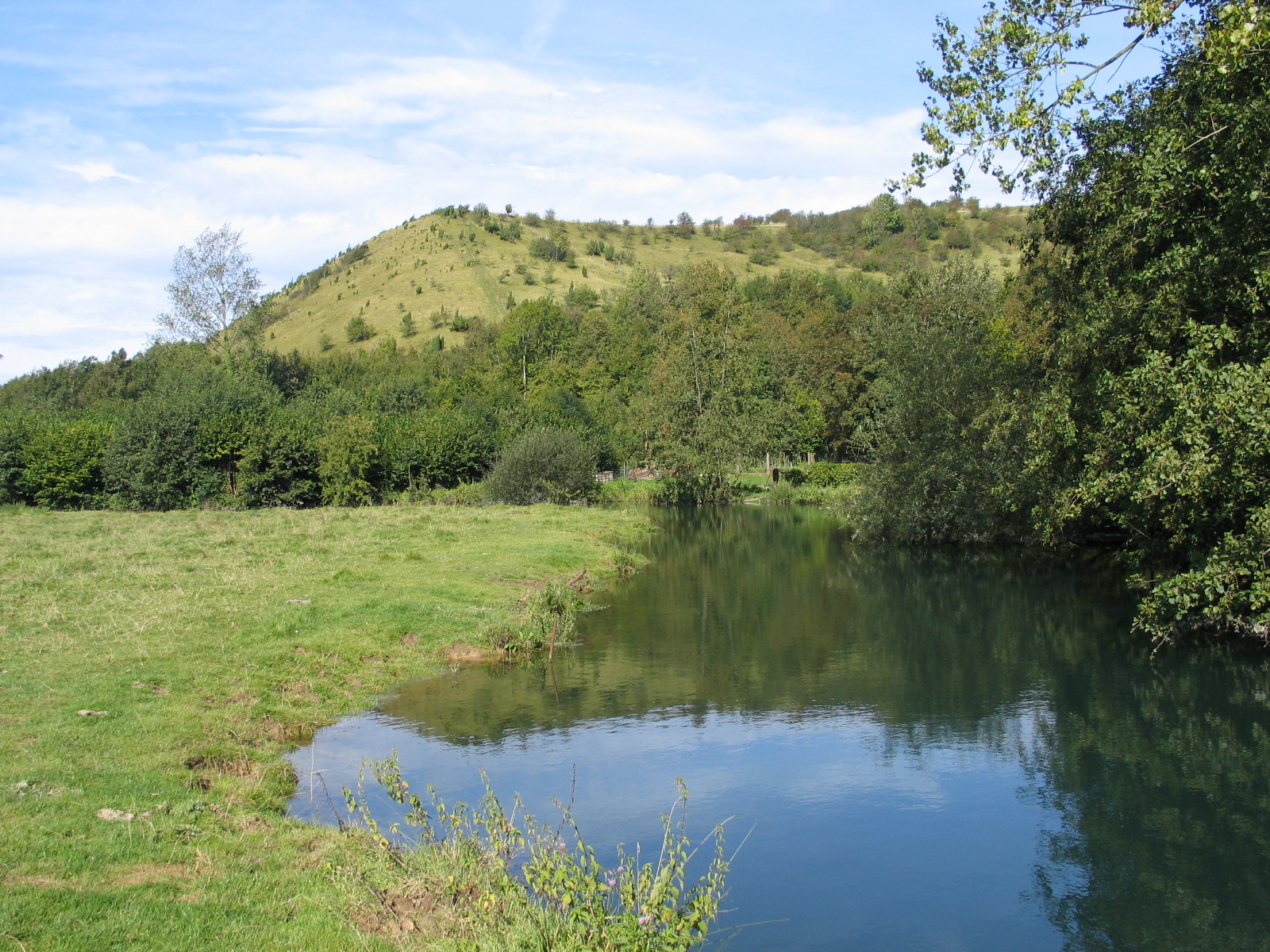
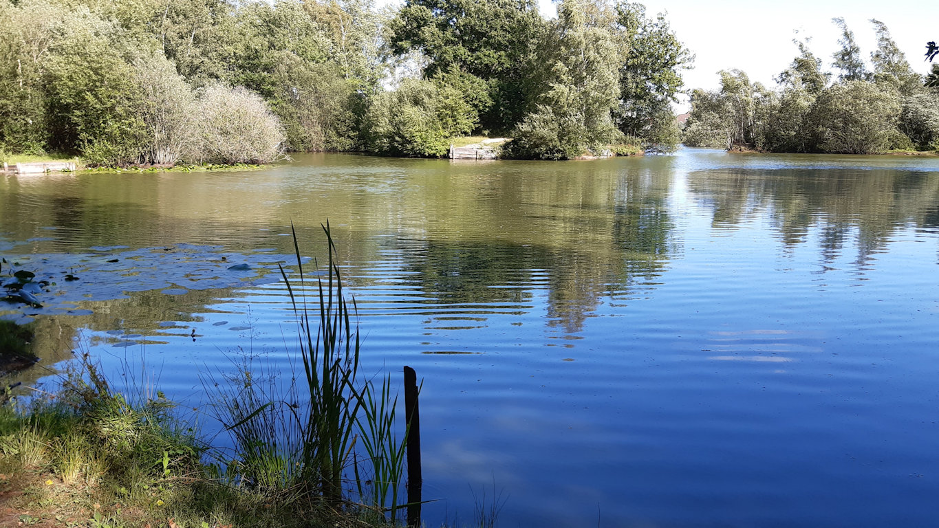
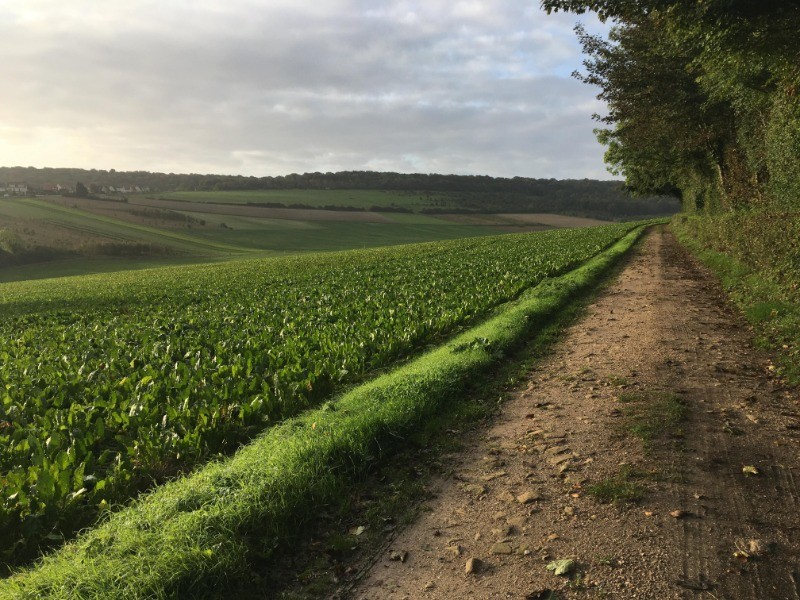
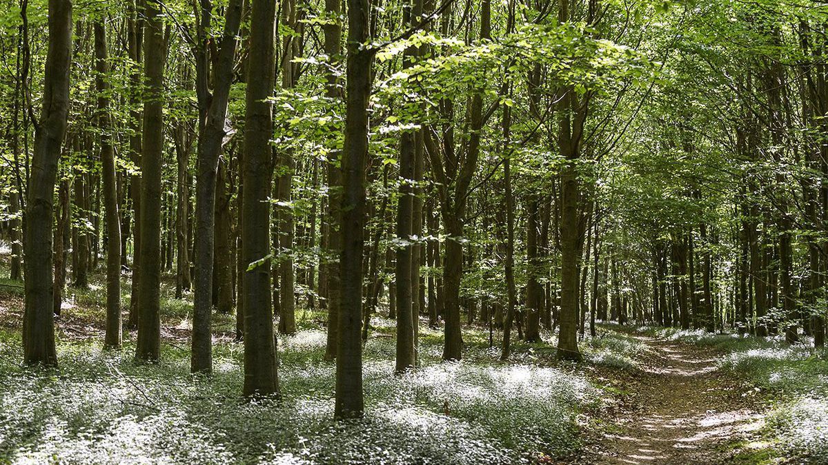
Departing from Muncq-Nieurlet, this walk alternates between fields, canals, and the forest of Eperlecques, within a hilly terrain.
Note that this trail takes roads several times.

Already more than 200,000 users!
Uphill
194m
Highest point
97m
Downhill
194m
Lowest point
9m
Route type
Loop
Download the map on your smartphone to save battery and rest assured to always keep access to the route, even without signal.
Includes IGN France and Swisstopo.
I indicate whether dogs are allowed or prohibited on this trail
All year
2 ratings
Also enjoy:

Already more than 200,000 users!