Uphill
33m
Length
10km
Duration
2h30min
Elev gain
33m
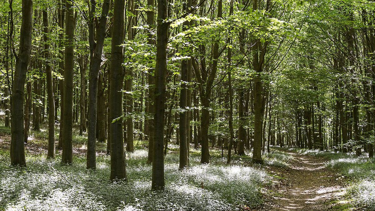
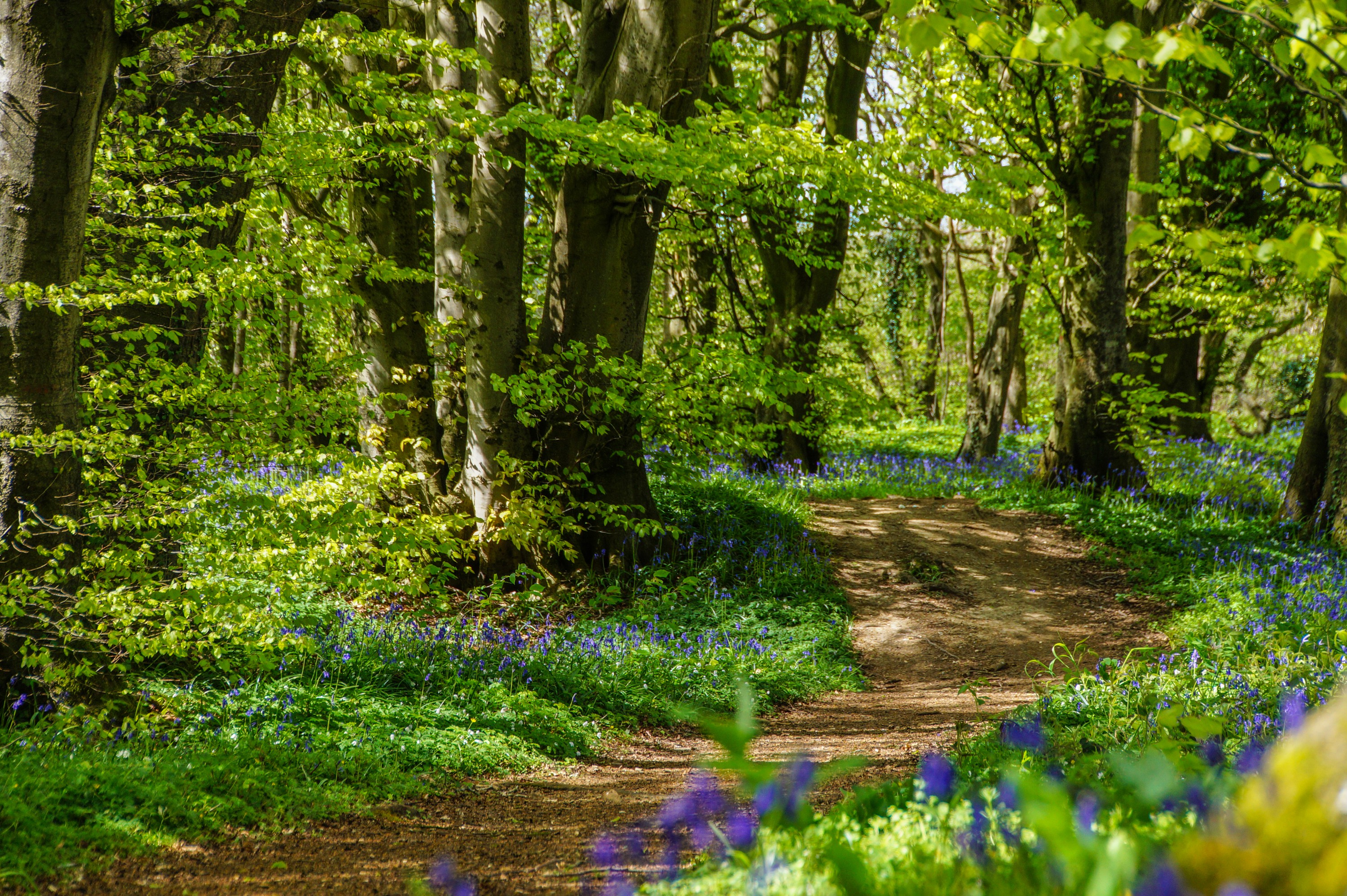
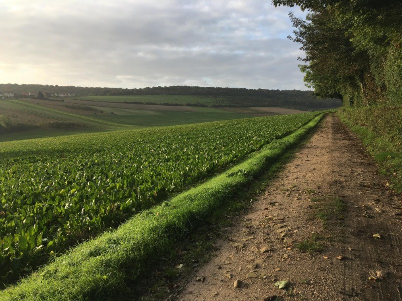
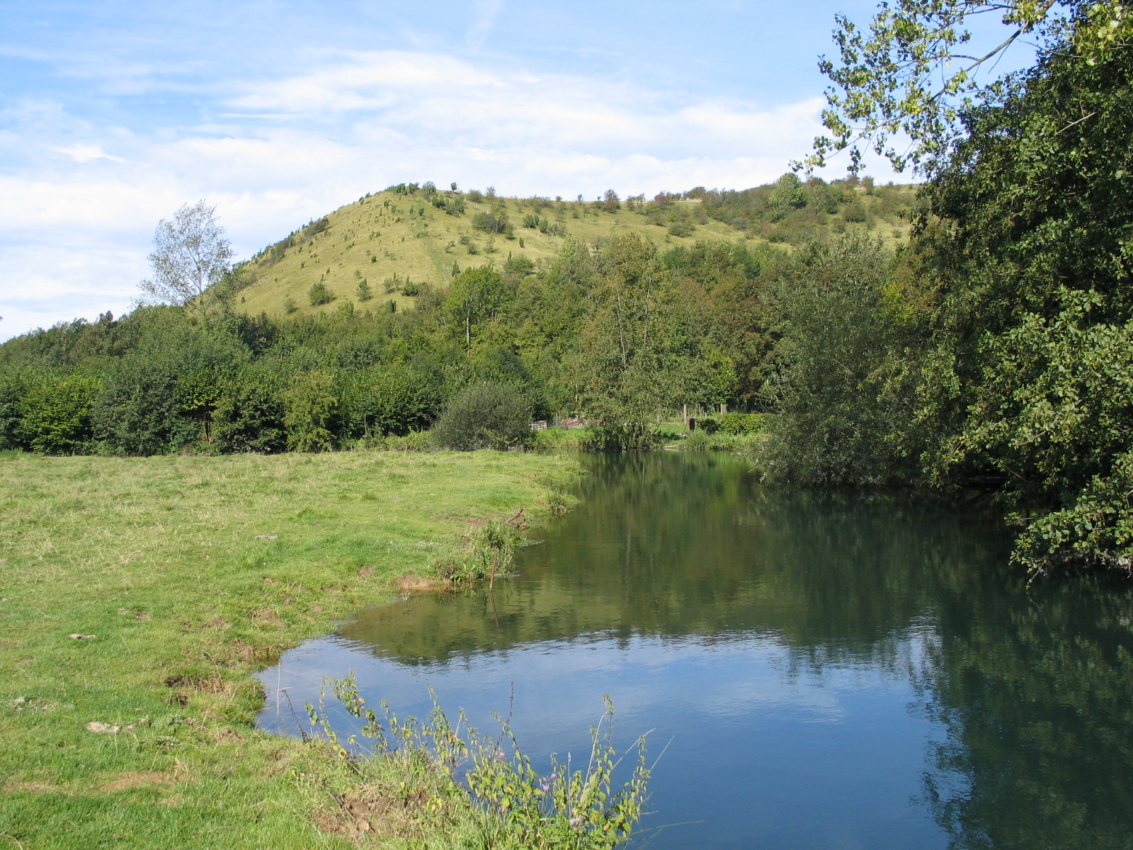
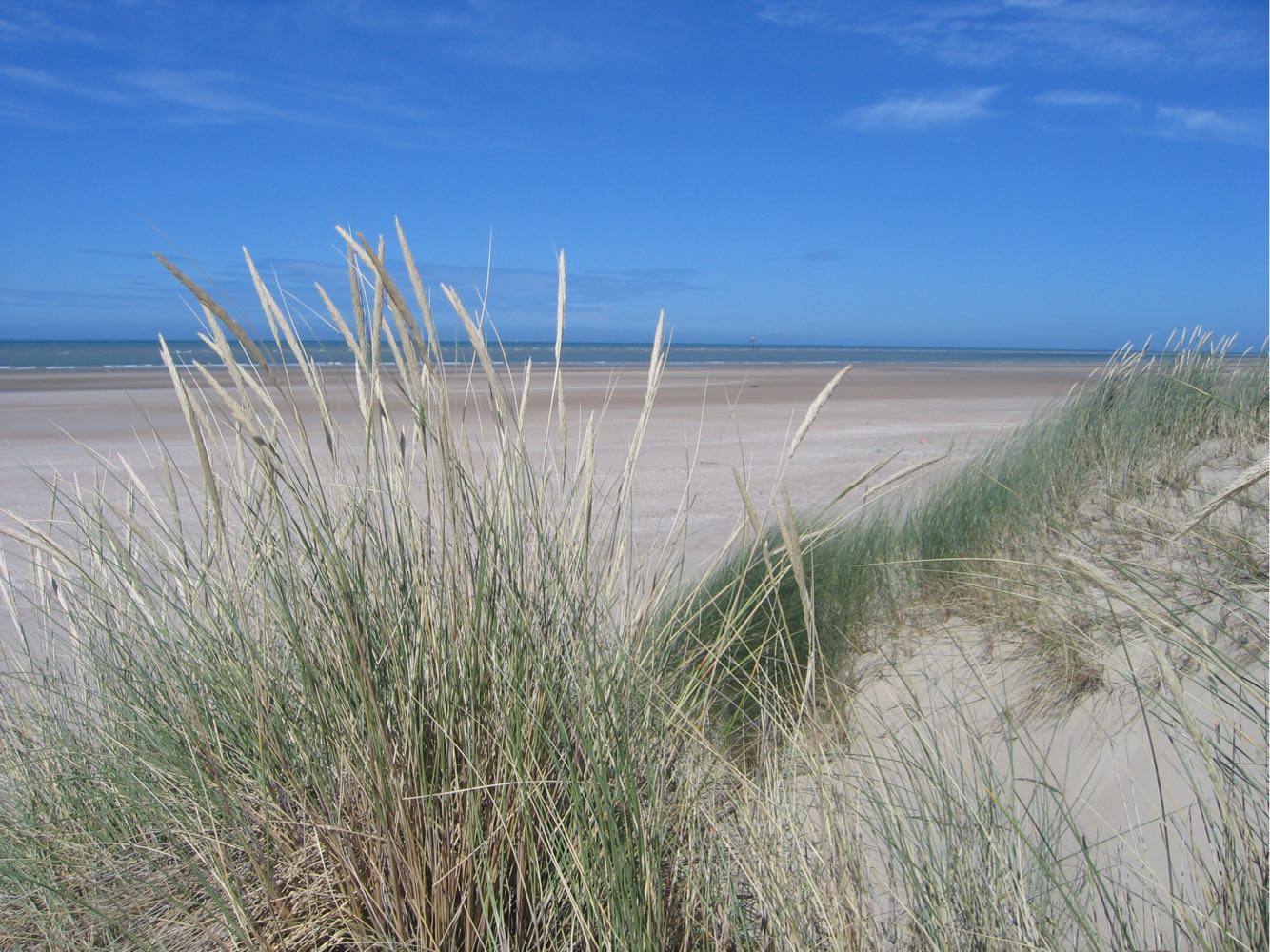
Walk in the Platier d'Oye national nature reserve, famous for bird watching. The path winds between dunes, sea and countryside, in the heart of a preserved natural environment.

Already more than 200,000 users!
Uphill
33m
Highest point
29m
Downhill
33m
Lowest point
4m
Route type
Loop
Download the map on your smartphone to save battery and rest assured to always keep access to the route, even without signal.
Includes IGN France and Swisstopo.
I indicate whether dogs are allowed or prohibited on this trail
All year
0 ratings
Also enjoy:

Already more than 200,000 users!