Uphill
253m
France > Hauts-de-France > Pas-de-Calais > Caps et Marais d'Opale Nature Park
Length
12km
Duration
3h30min
Elev gain
253m
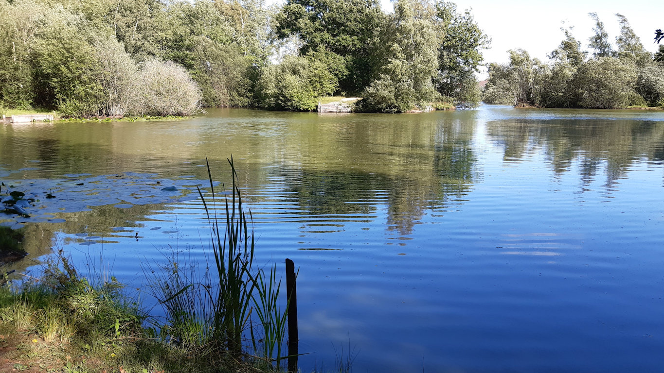
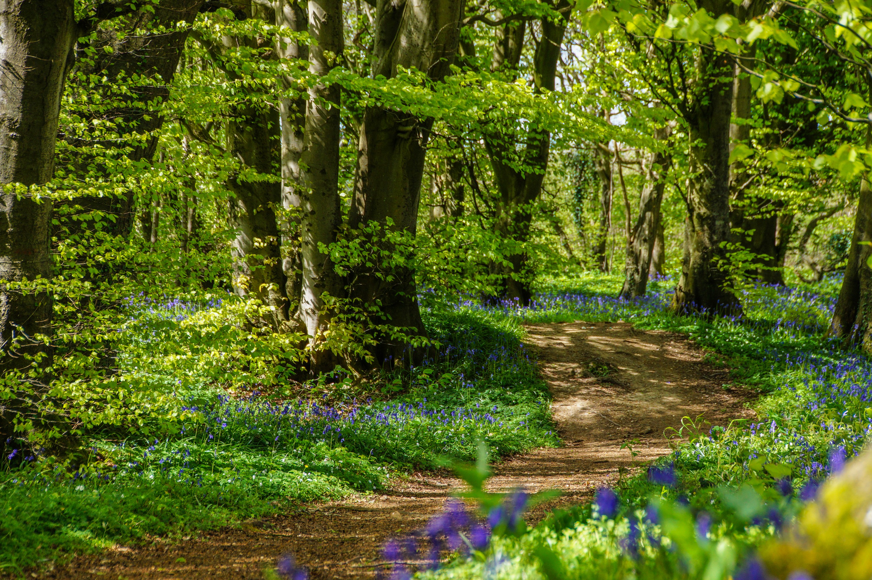
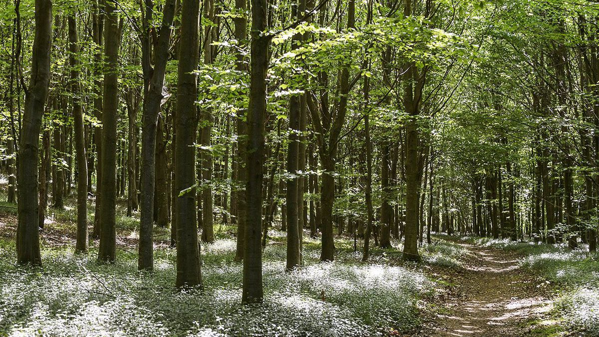
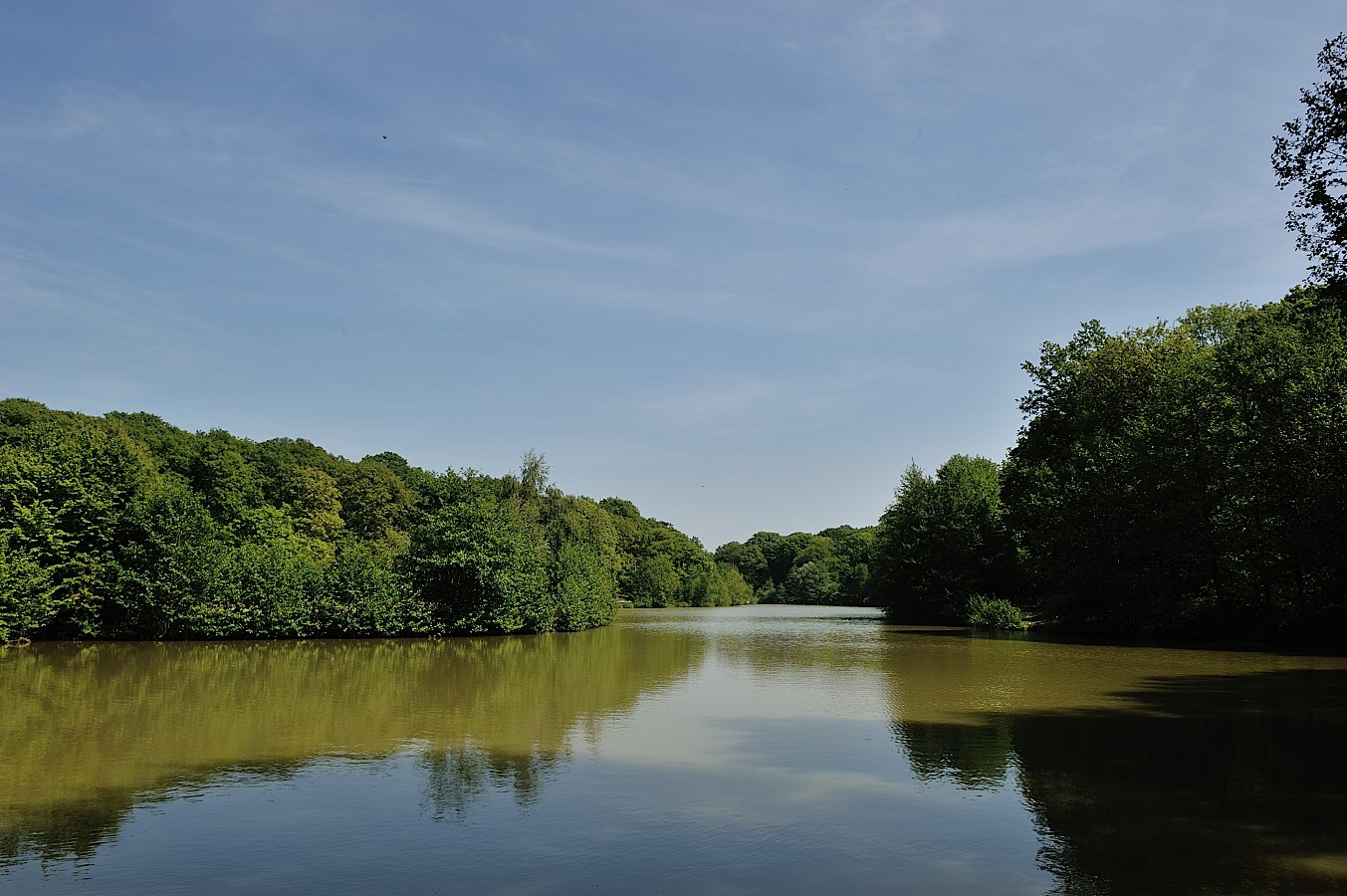
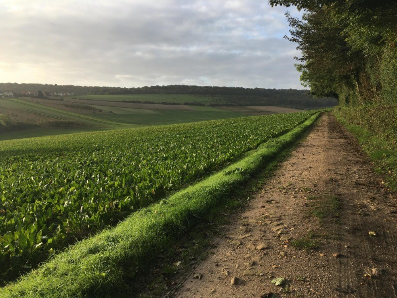
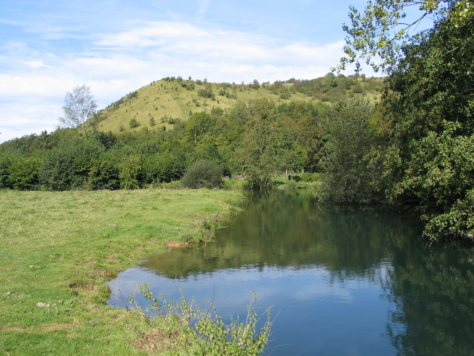
This is a walk presenting hilly and varied landscapes between undergrowth, fields and banks of the Aa river.
Note a passage on the road between Vedringhem and Remilly.

Already more than 200,000 users!
Uphill
253m
Highest point
141m
Downhill
253m
Lowest point
22m
Route type
Loop
Download the map on your smartphone to save battery and rest assured to always keep access to the route, even without signal.
Includes IGN France and Swisstopo.
I indicate whether dogs are allowed or prohibited on this trail
All year
0 ratings
Also enjoy:

Already more than 200,000 users!