Uphill
99m
France > Hauts-de-France > Pas-de-Calais > Caps et Marais d'Opale Nature Park
Length
4km
Duration
1h
Elev gain
99m
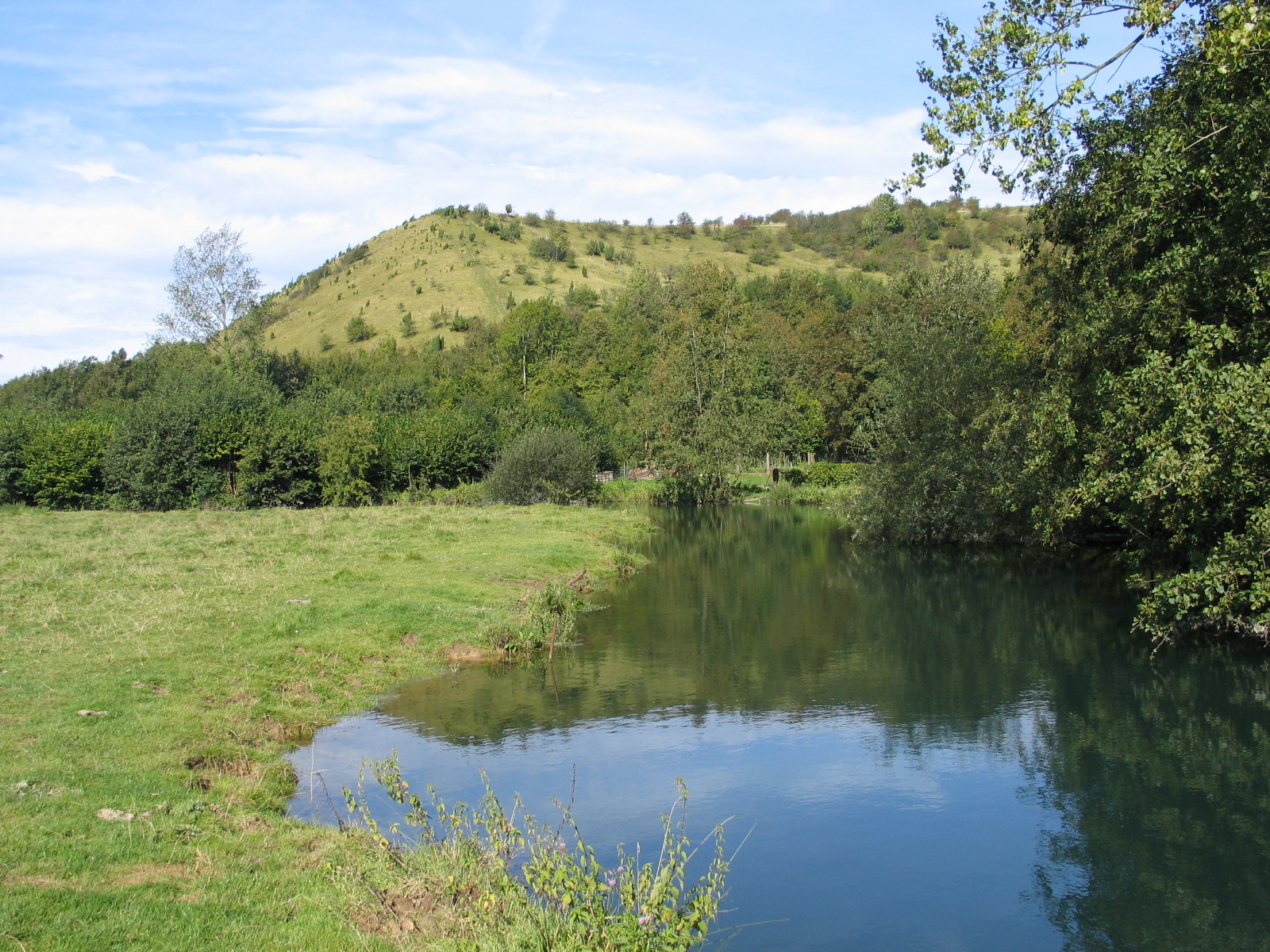
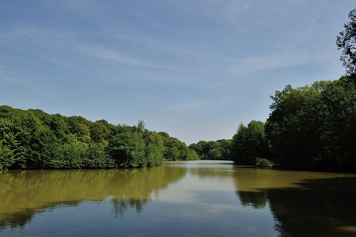
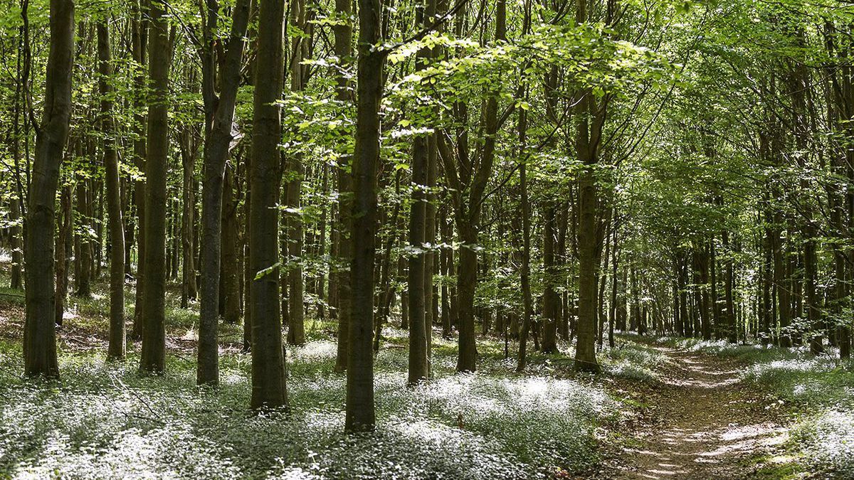
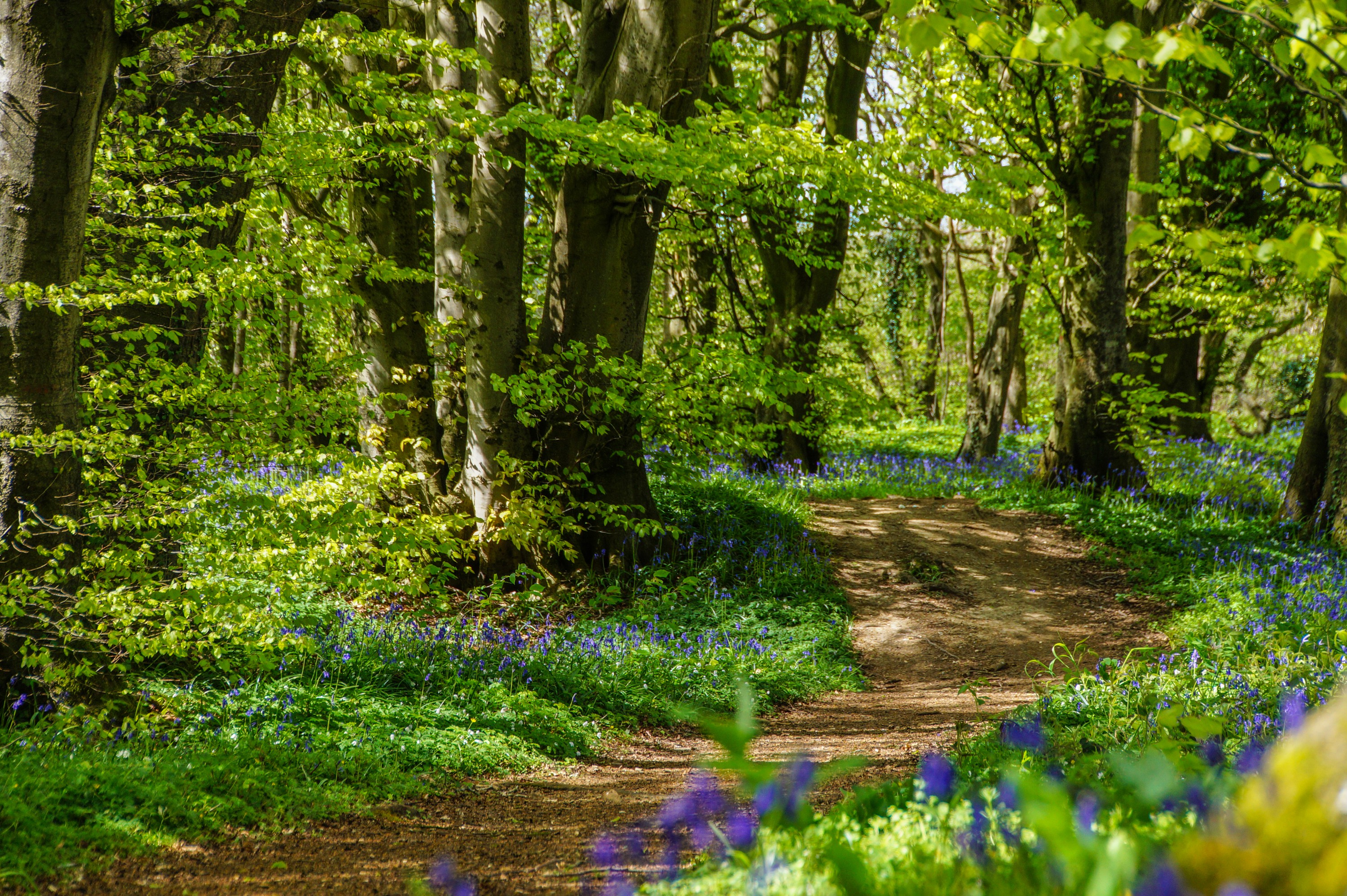
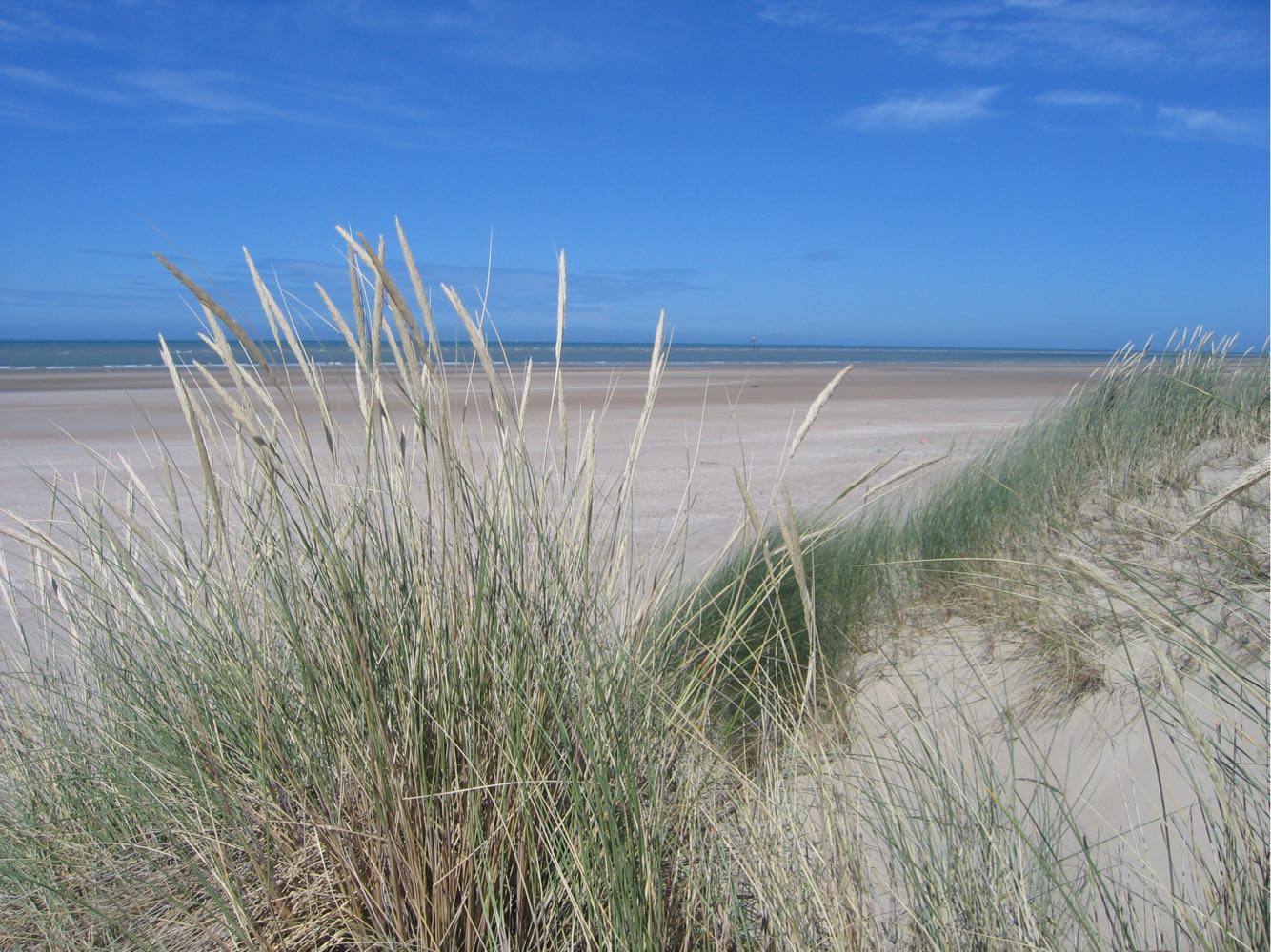
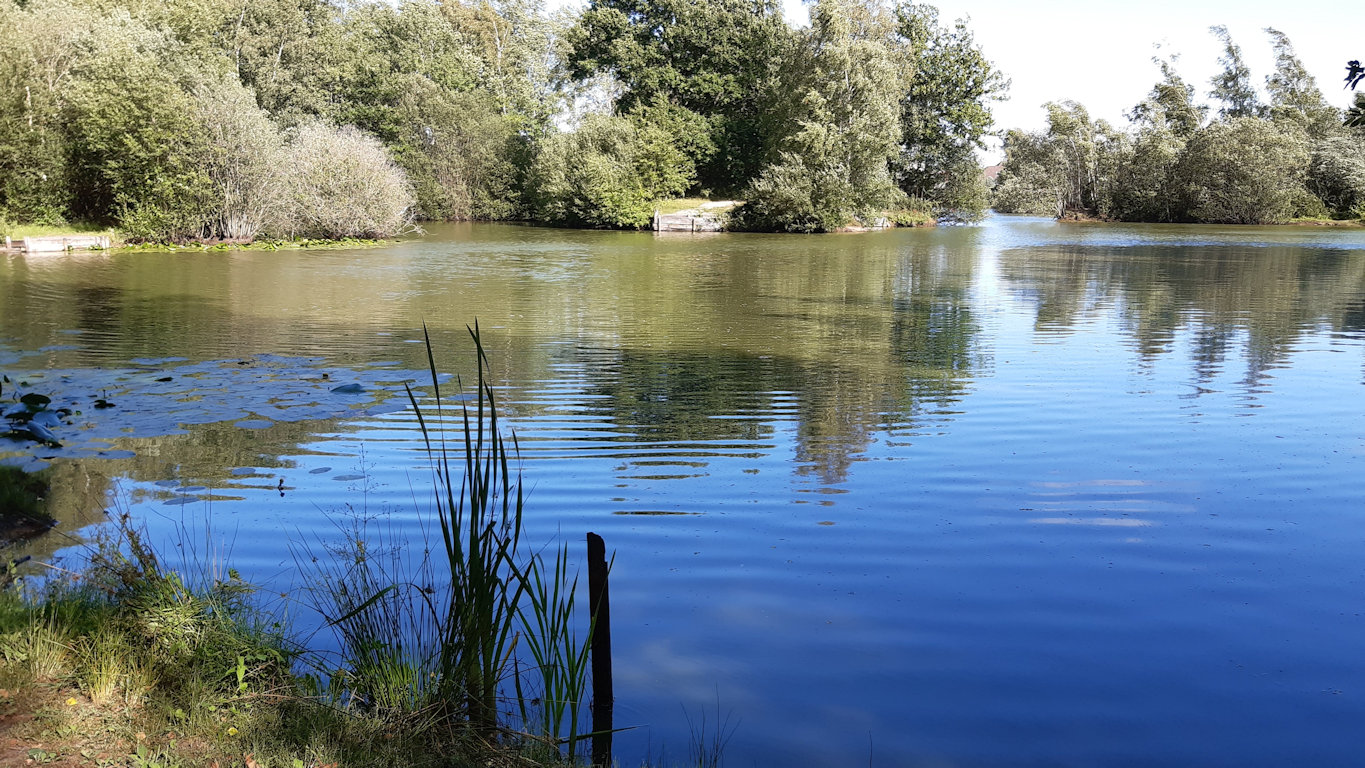
Walk in the Plateau des Landes nature reserve, on a path leading to the Helfaut ponds.
Note that part of the circuit passes through a residential area.

Already more than 200,000 users!
Uphill
99m
Highest point
126m
Downhill
99m
Lowest point
25m
Route type
Loop
Download the map on your smartphone to save battery and rest assured to always keep access to the route, even without signal.
Includes IGN France and Swisstopo.
I indicate whether dogs are allowed or prohibited on this trail
All year
0 ratings
Also enjoy:

Already more than 200,000 users!