Uphill
37m
Length
12km
Duration
3h
Elev gain
37m
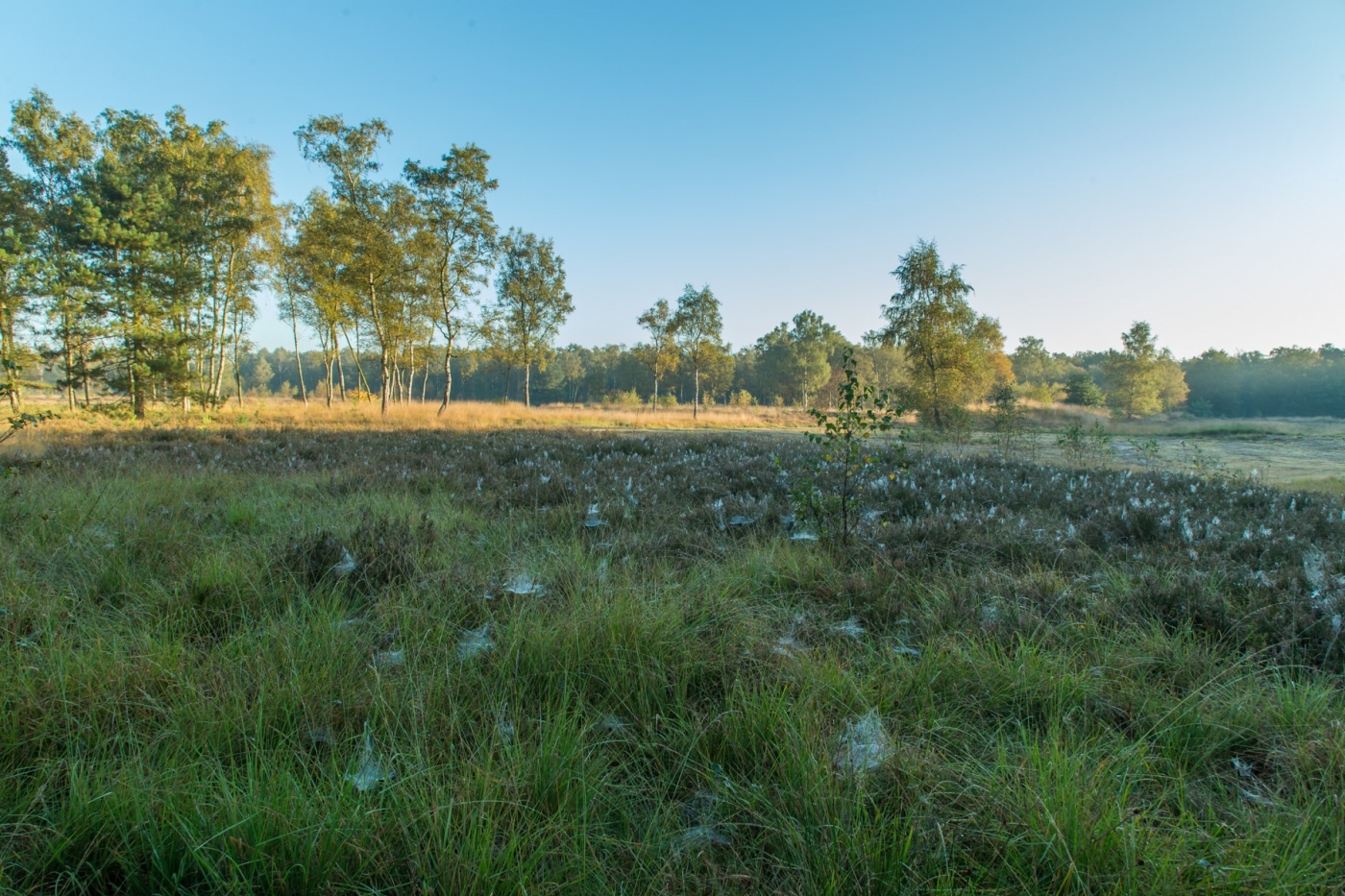
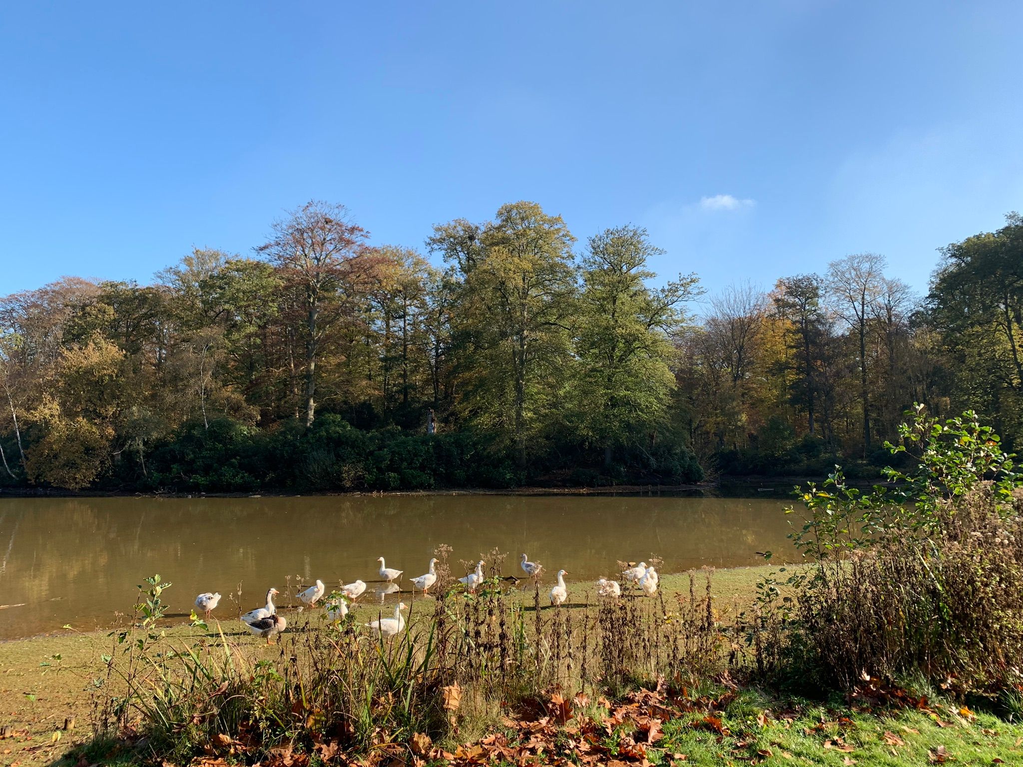
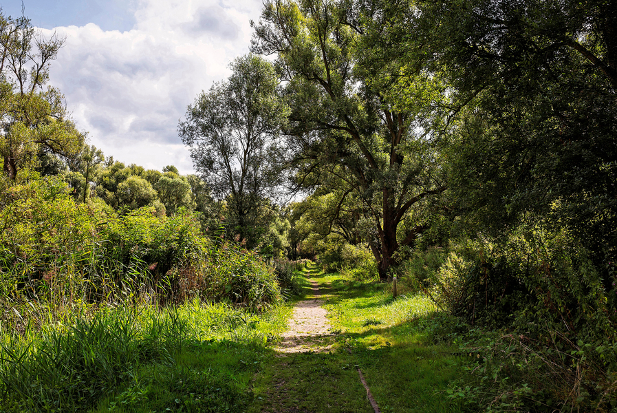
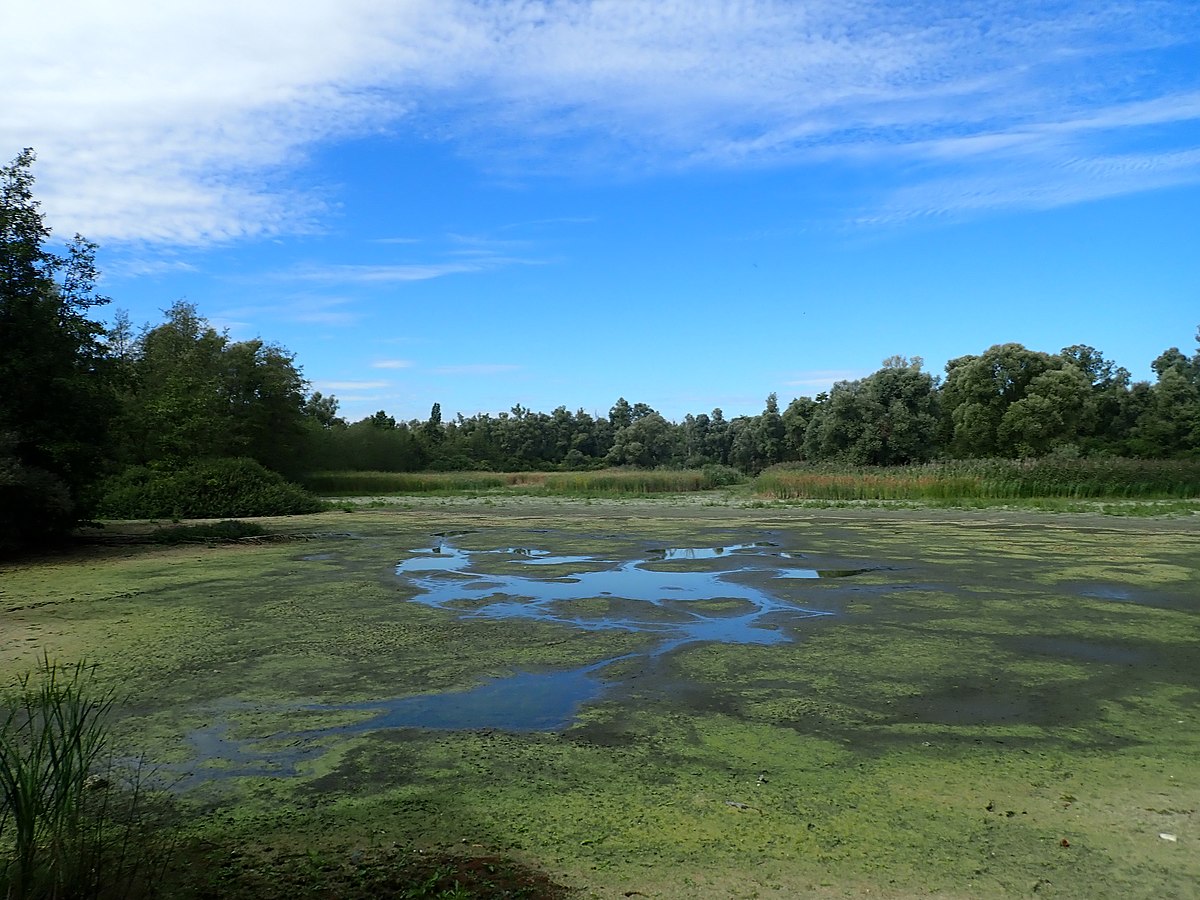
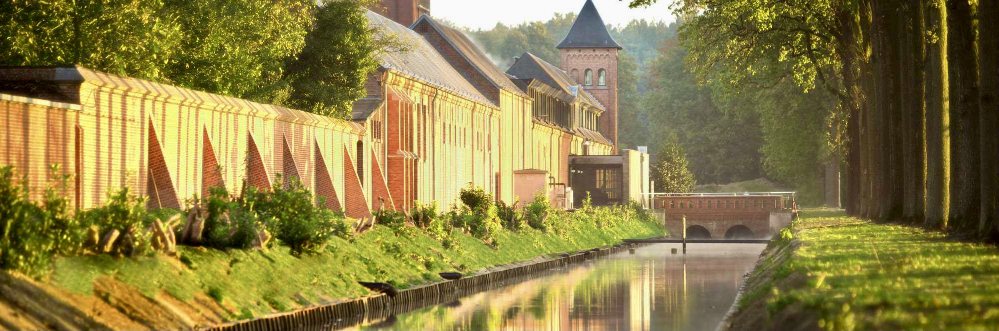
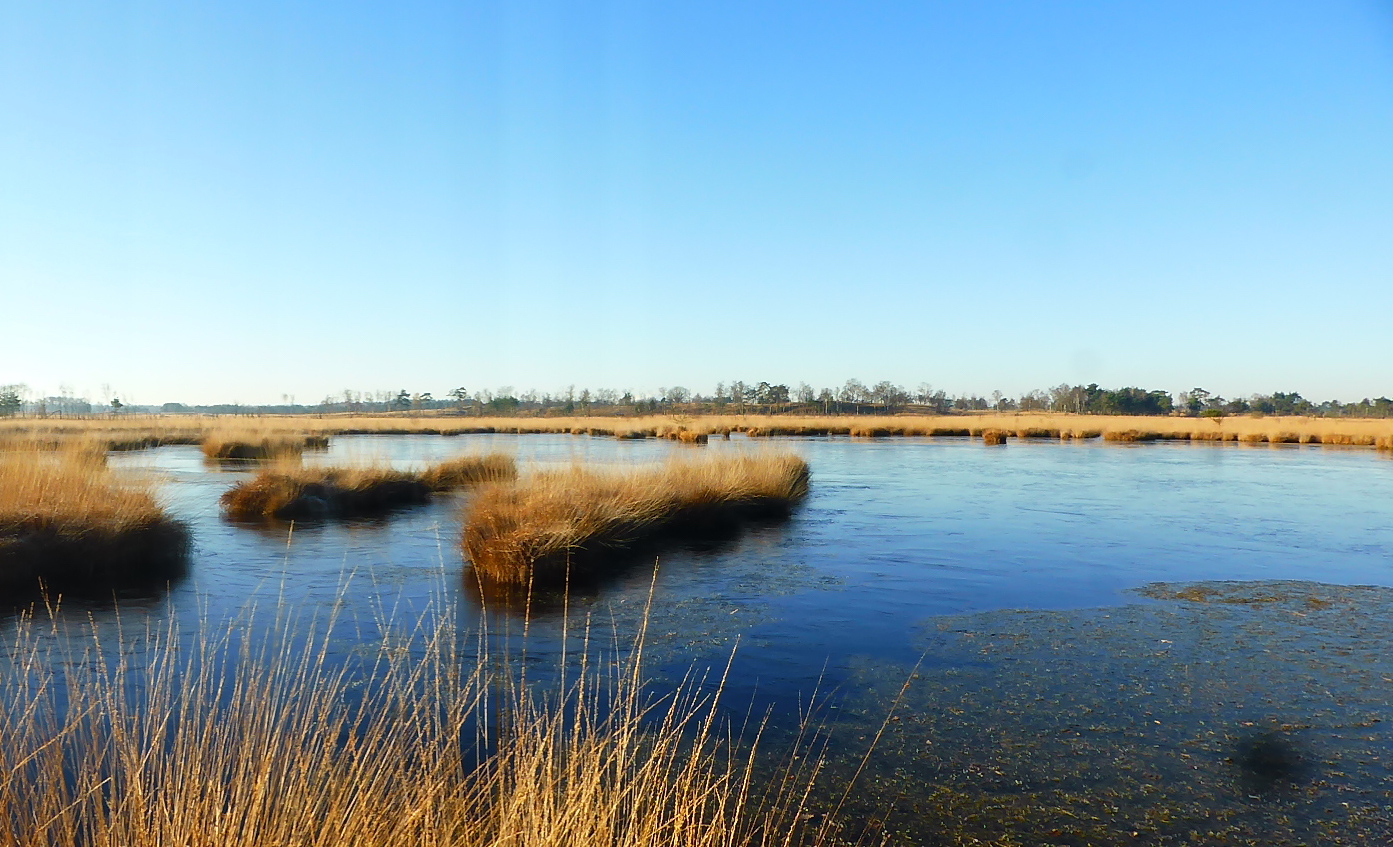
Here is a great hike on the border of Belgium and the Netherlands. In the heart of the Kalmthoutse Heide nature reserve, this route makes a loop in the middle of dunes and small marshes, including the beautiful Kambuus dune.

Already more than 200,000 users!
Uphill
37m
Highest point
38m
Downhill
37m
Lowest point
11m
Route type
Loop
Download the map on your smartphone to save battery and rest assured to always keep access to the route, even without signal.
Includes IGN France and Swisstopo.
I indicate whether dogs are allowed or prohibited on this trail
All year
3 ratings
Also enjoy:

Already more than 200,000 users!