Uphill
13m
Length
7km
Duration
2h
Elev gain
13m
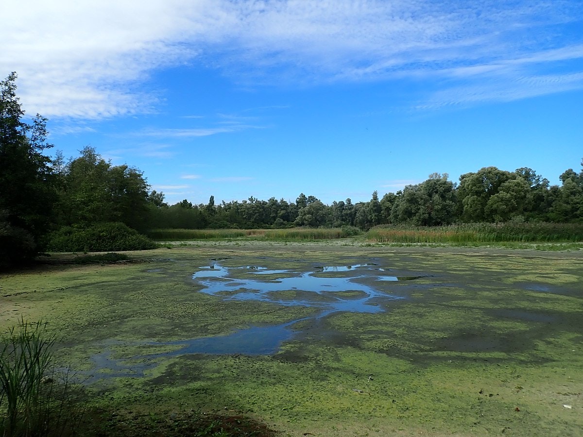
Superb walk near Antwerp, easily accessible by train since the starting point is at Hoboken-Polder station. The route makes a loop on a path that crosses landscapes of polders, marshes and woods, and which offers a lovely view of the Scheldt.

Already more than 200,000 users!
Uphill
13m
Highest point
19m
Downhill
13m
Lowest point
3m
Route type
Loop
Download the map on your smartphone to save battery and rest assured to always keep access to the route, even without signal.
Includes IGN France and Swisstopo.
I indicate whether dogs are allowed or prohibited on this trail
All year
0 ratings
Also enjoy:

Already more than 200,000 users!


