Uphill
0m
Length
7km
Duration
2h
Elev gain
0m
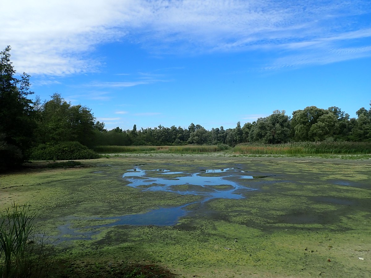
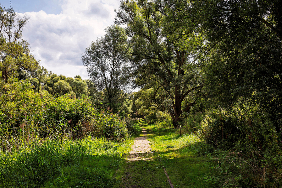
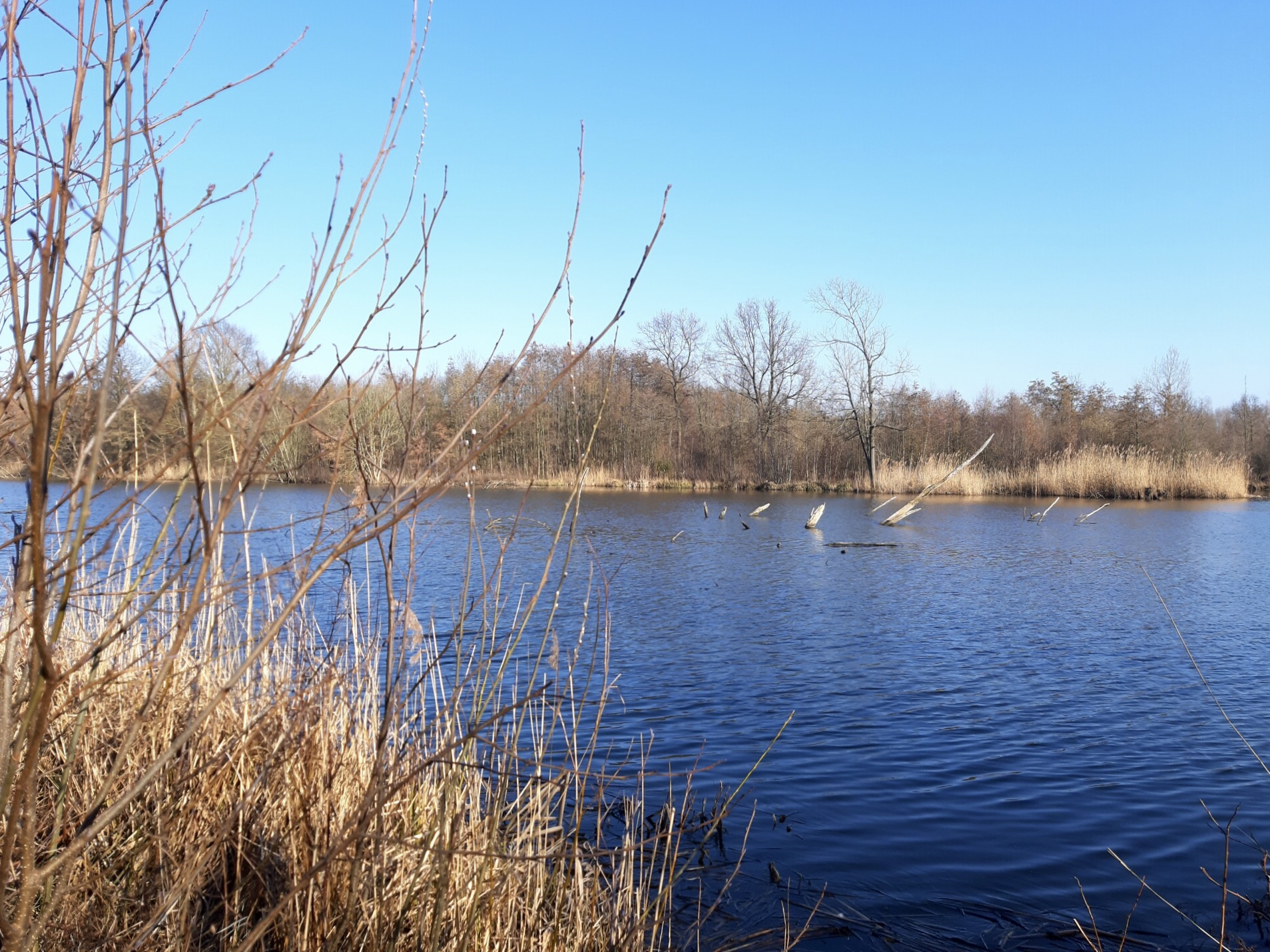
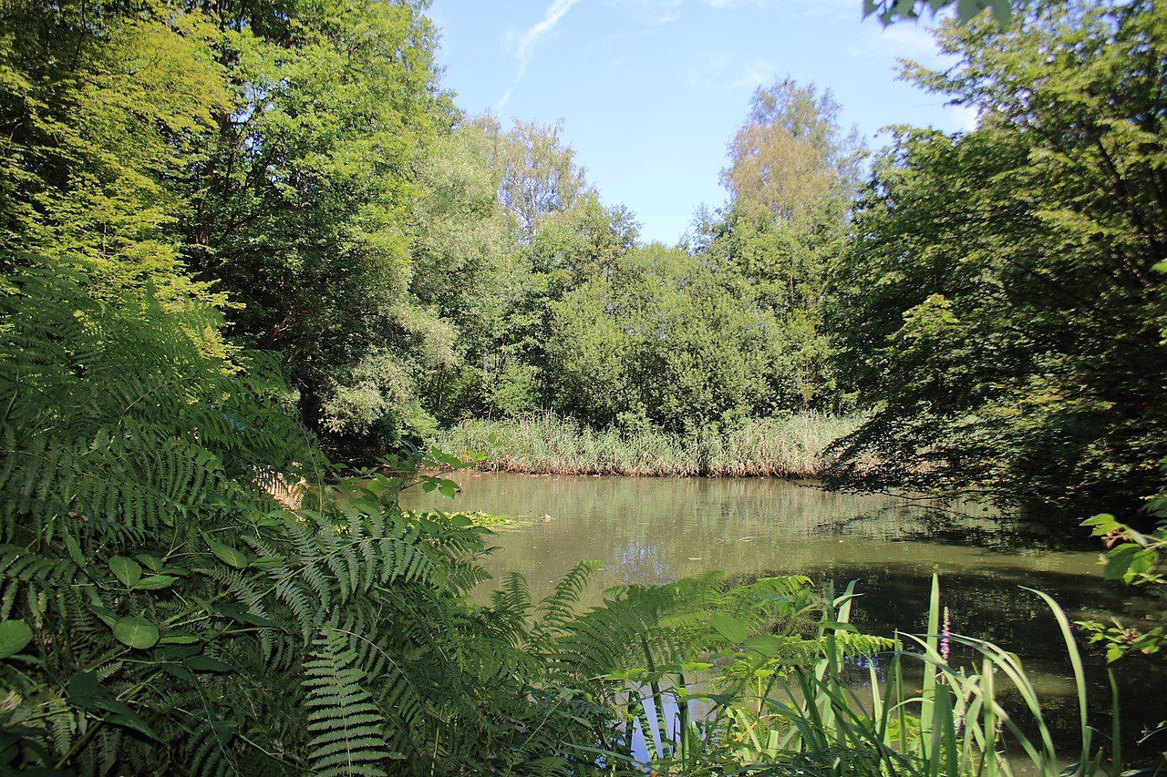
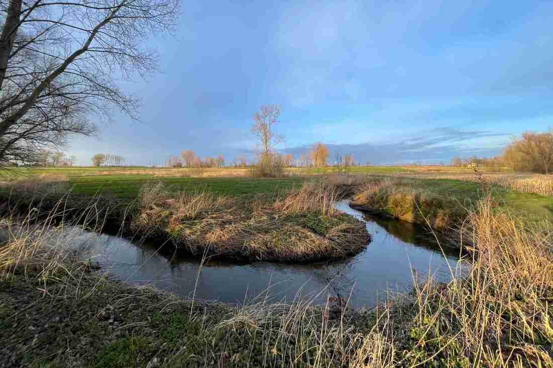
Starting from the Onze-Lieve-Vrouwkerk church, this hike makes a nice loop in the vicinity of Kruibeke. The path joins the Barbierbeek stream, then runs along the Scheldt to return to the starting point.
Note that the route takes small roads.

Already more than 200,000 users!
Uphill
0m
Highest point
16m
Downhill
0m
Lowest point
4m
Route type
Loop
Download the map on your smartphone to save battery and rest assured to always keep access to the route, even without signal.
Includes IGN France and Swisstopo.
1 rating
Also enjoy:

Already more than 200,000 users!