Uphill
81m
Length
8km
Duration
2h
Elev gain
81m
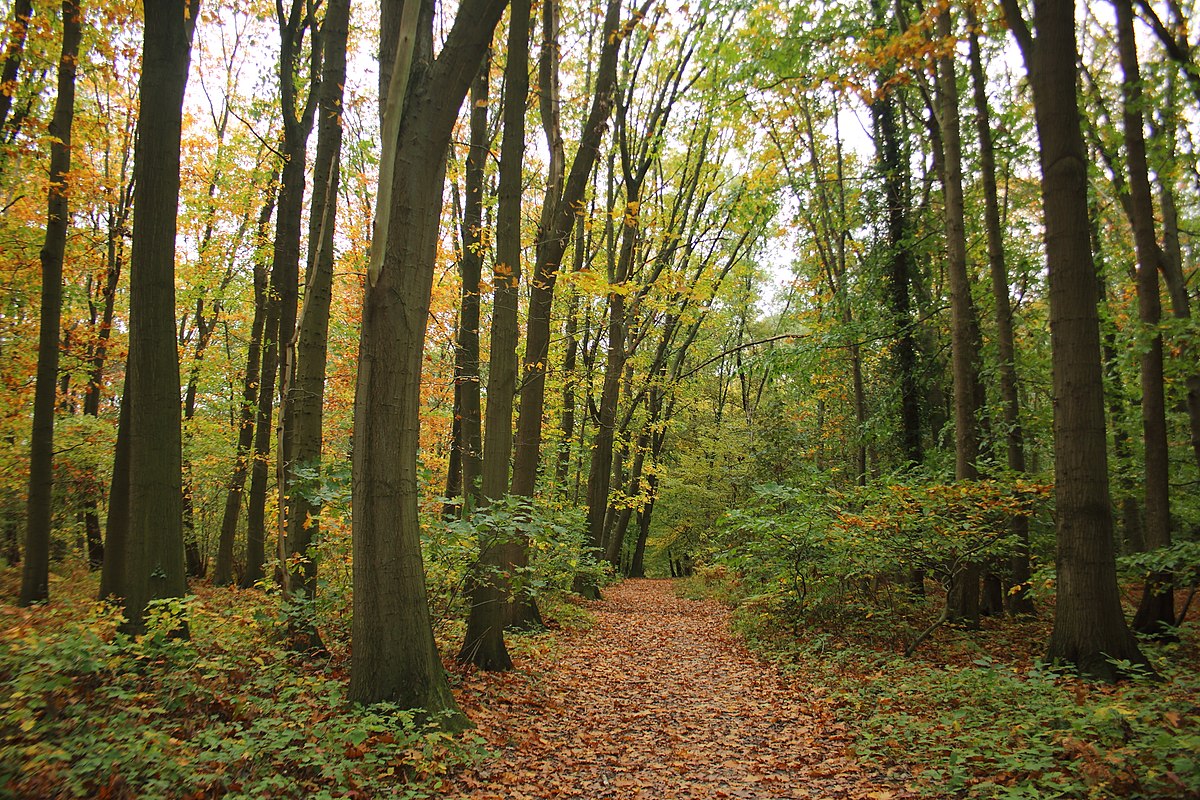
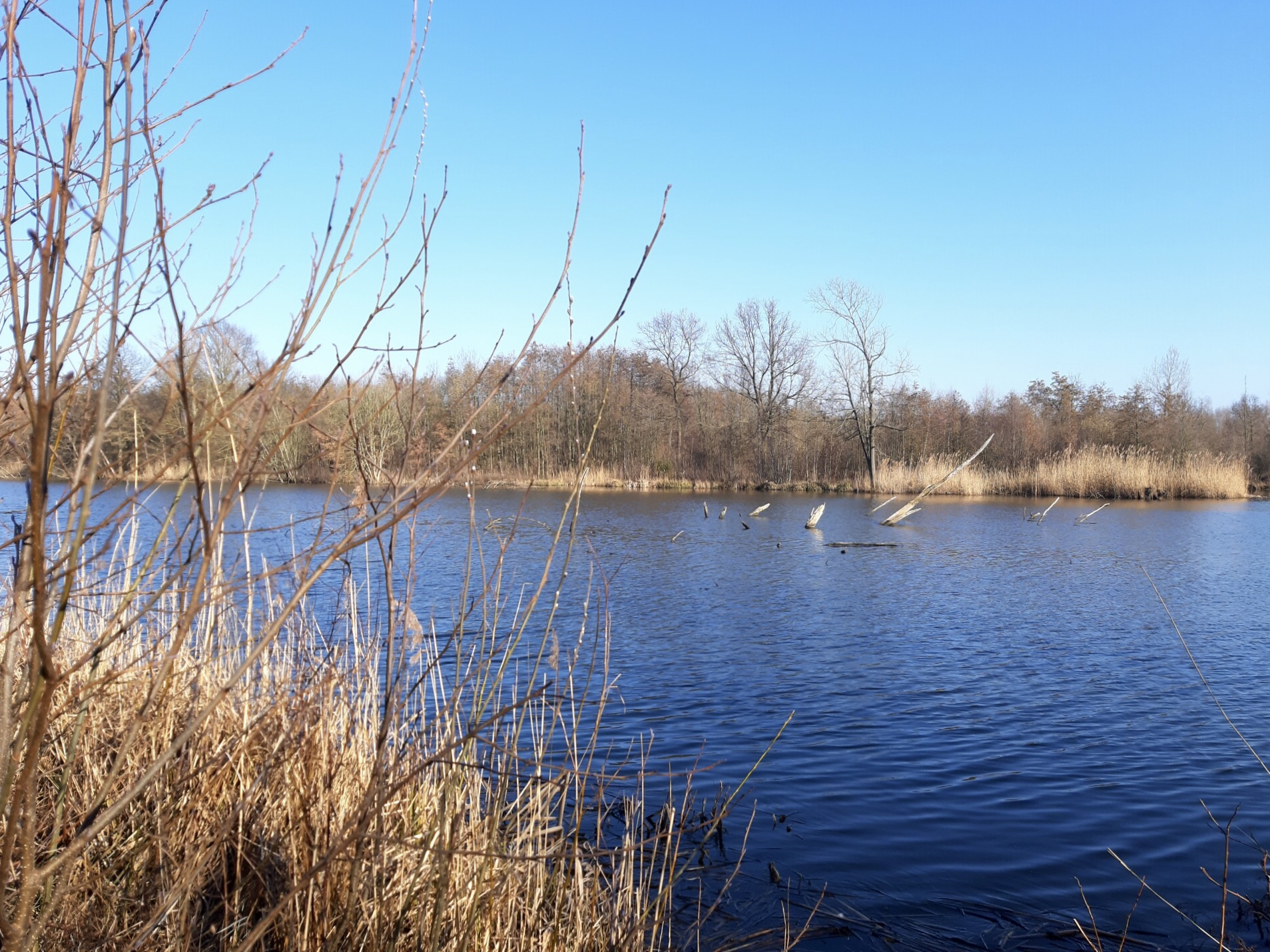
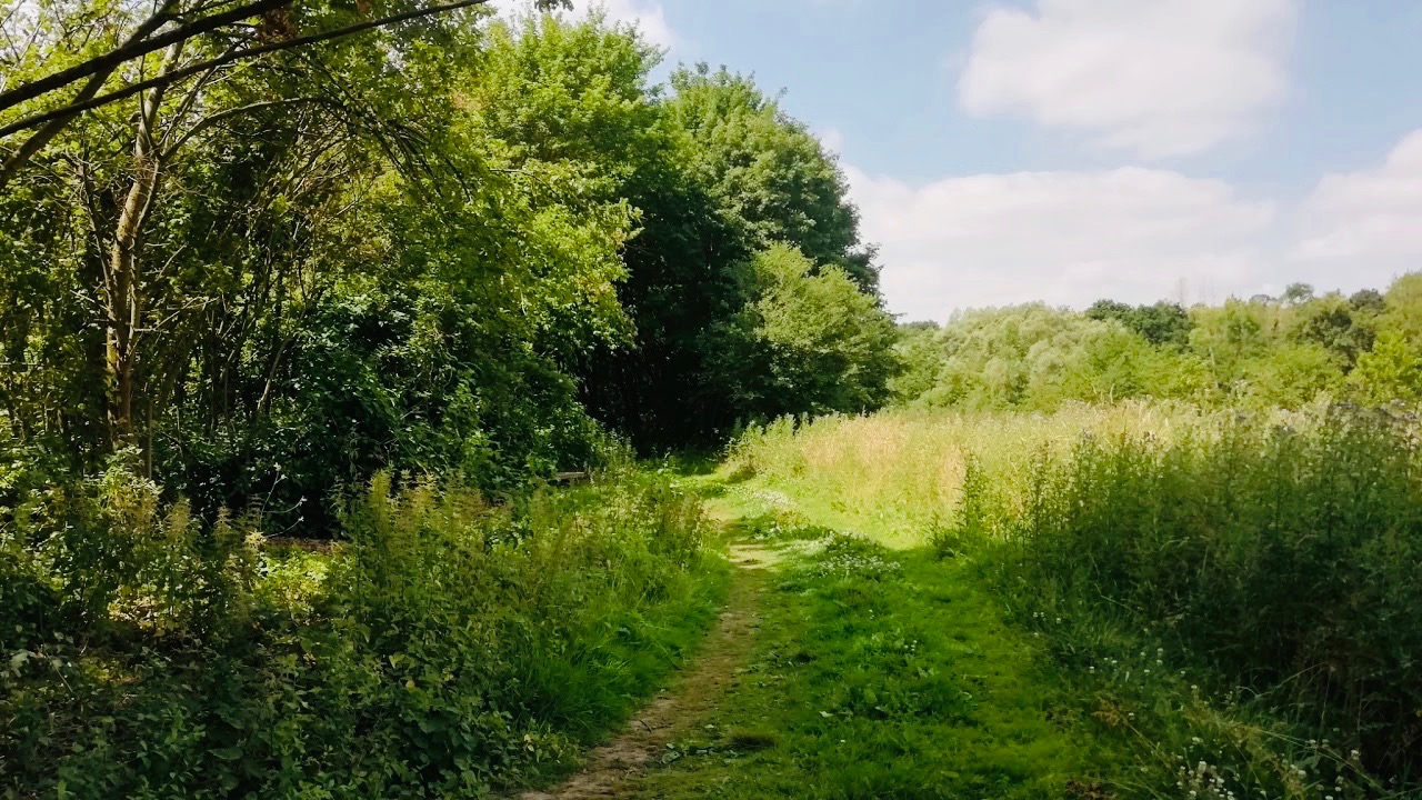
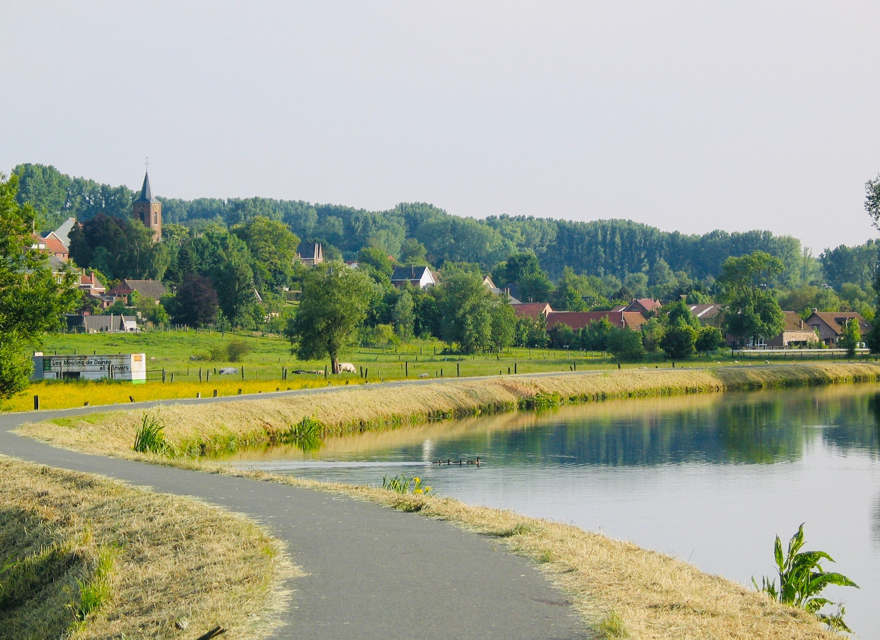
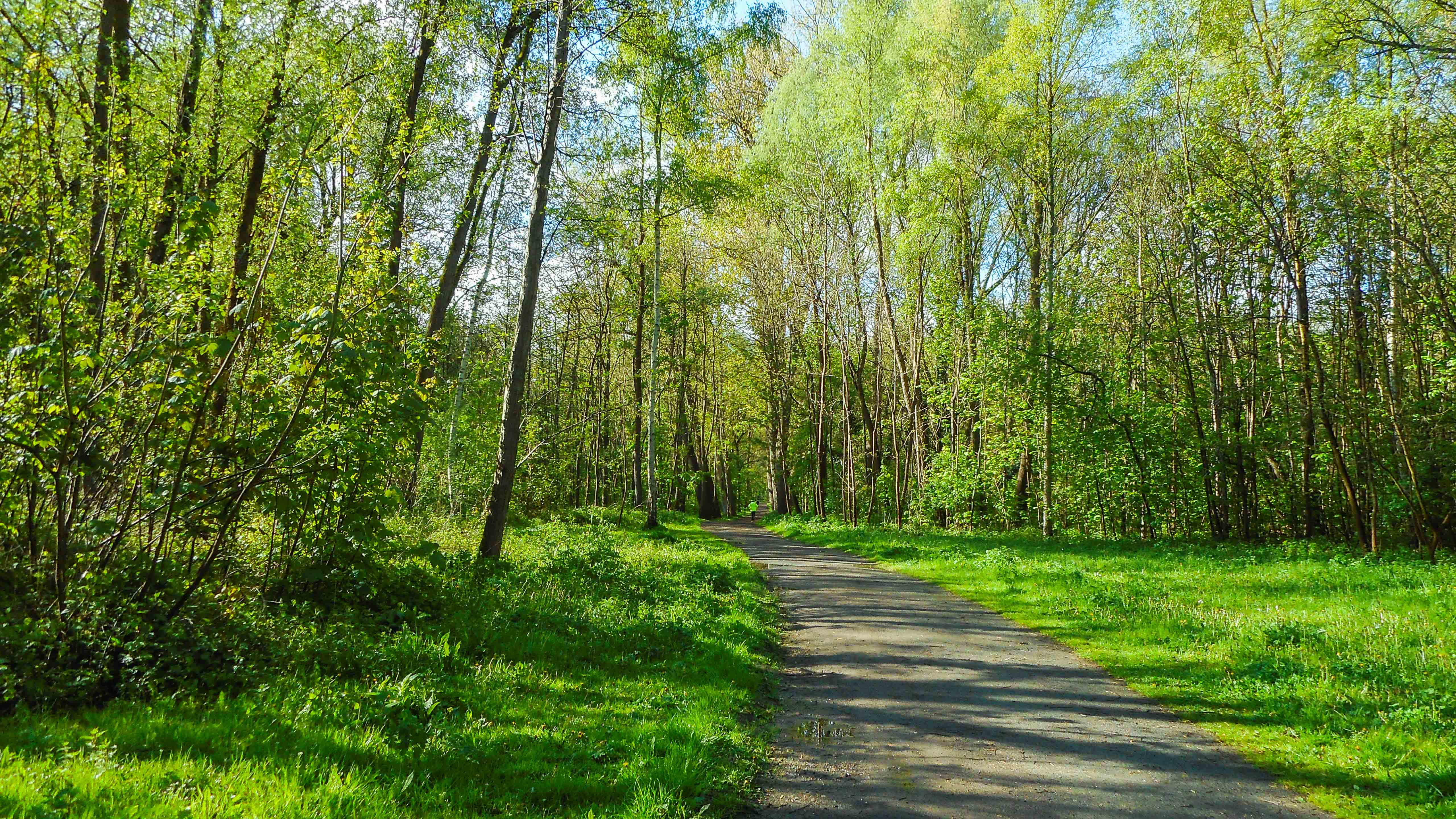
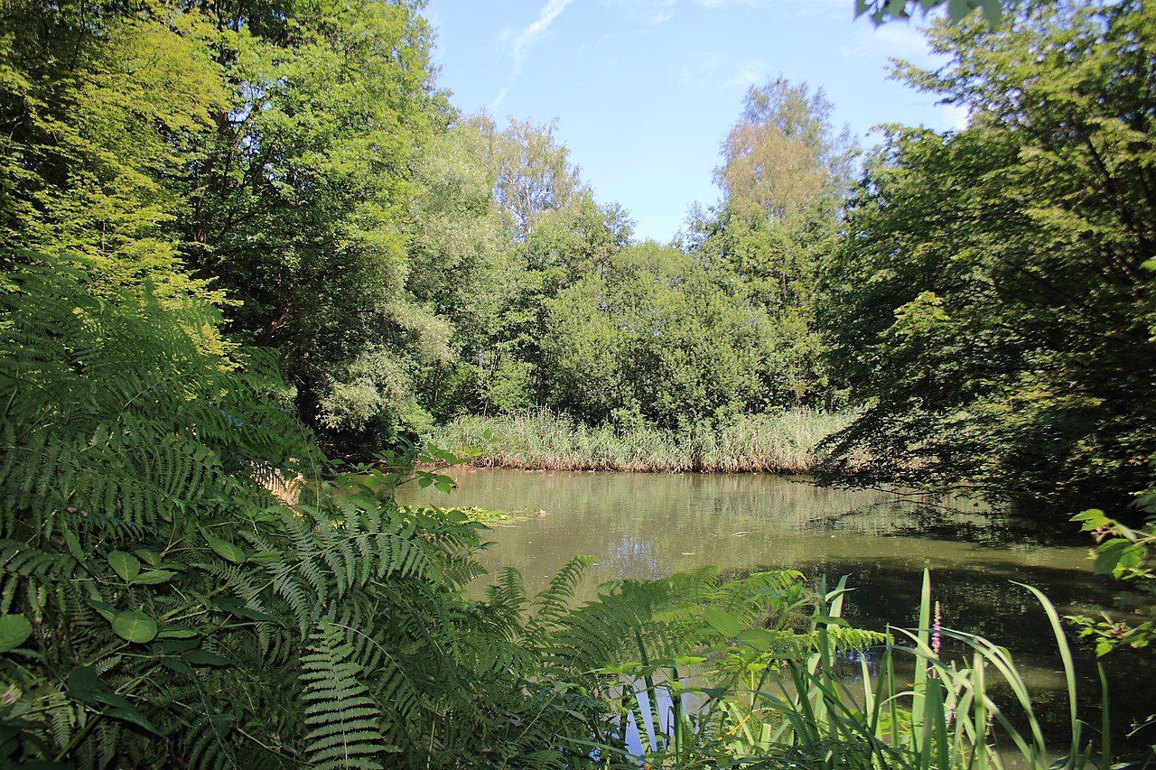
Located south of Buggenhout, this walk loops through the town's pretty woods. This forest offers many explorable trails including this course, which is surrounded by old oak trees.

Already more than 200,000 users!
Uphill
81m
Highest point
35m
Downhill
81m
Lowest point
8m
Route type
Loop
Download the map on your smartphone to save battery and rest assured to always keep access to the route, even without signal.
Includes IGN France and Swisstopo.
Parking at the start of the hike.
Malderen and Buggenhout stations nearby.
I indicate whether dogs are allowed or prohibited on this trail
All year
2 ratings
Also enjoy:

Already more than 200,000 users!