Uphill
21m
Length
5km
Duration
1h30min
Elev gain
21m
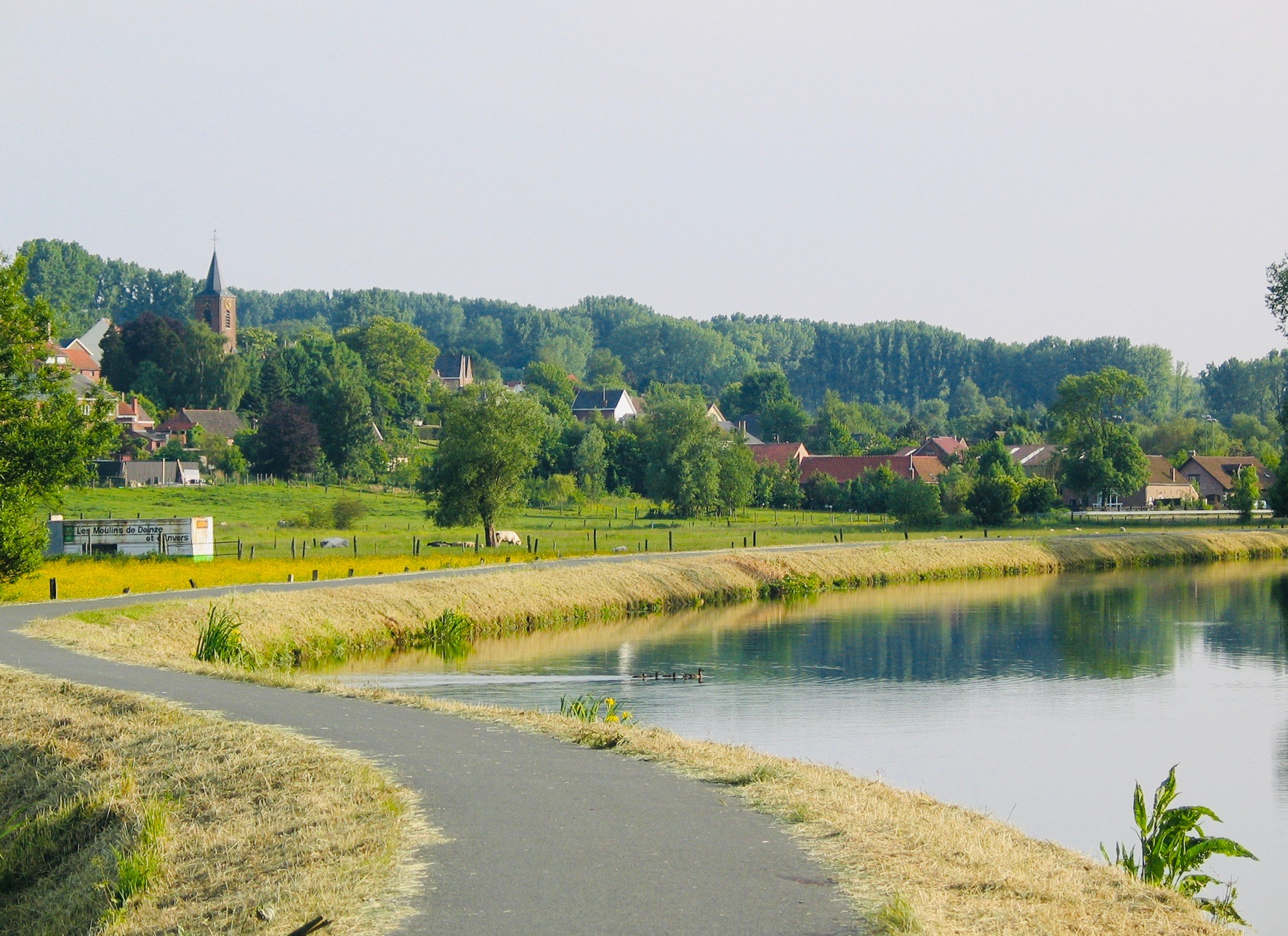
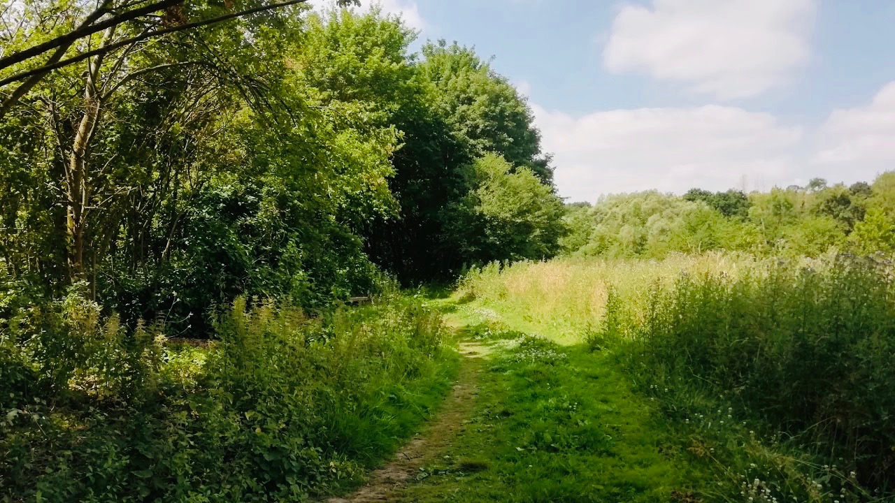
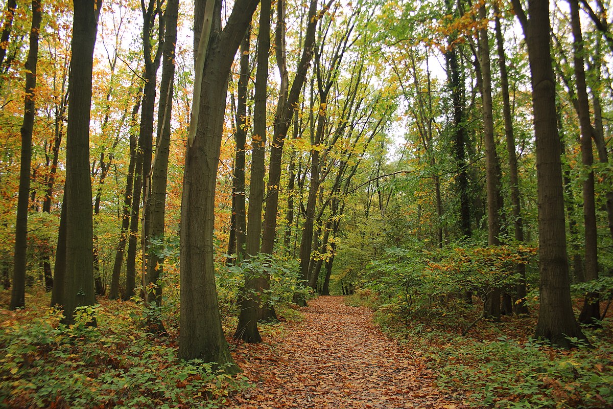
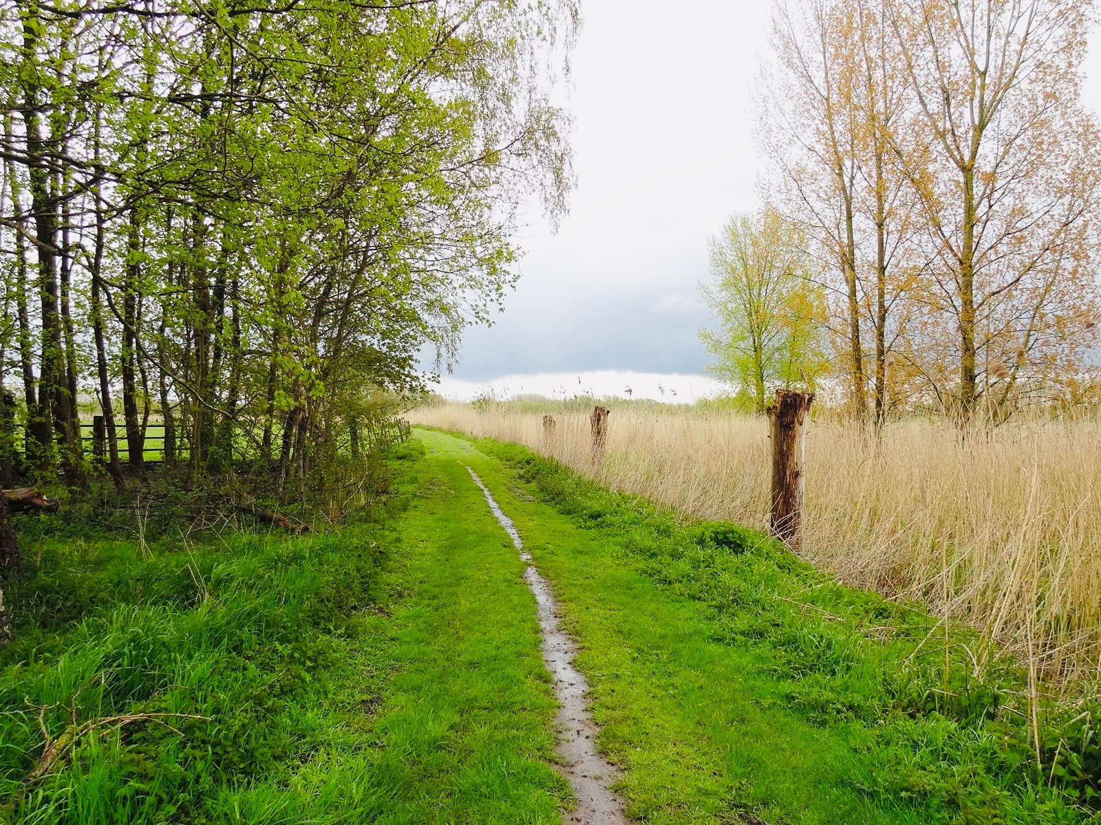
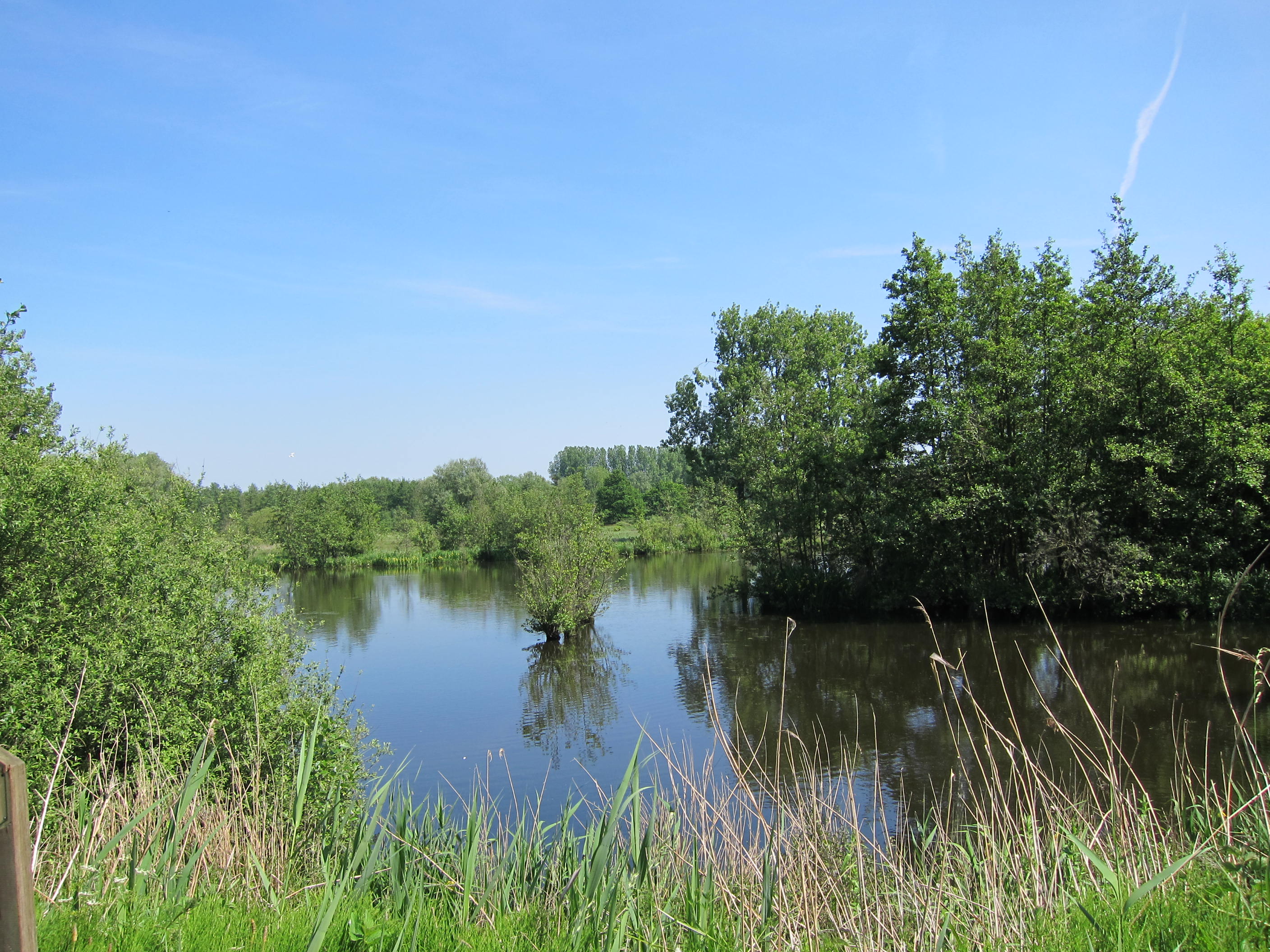
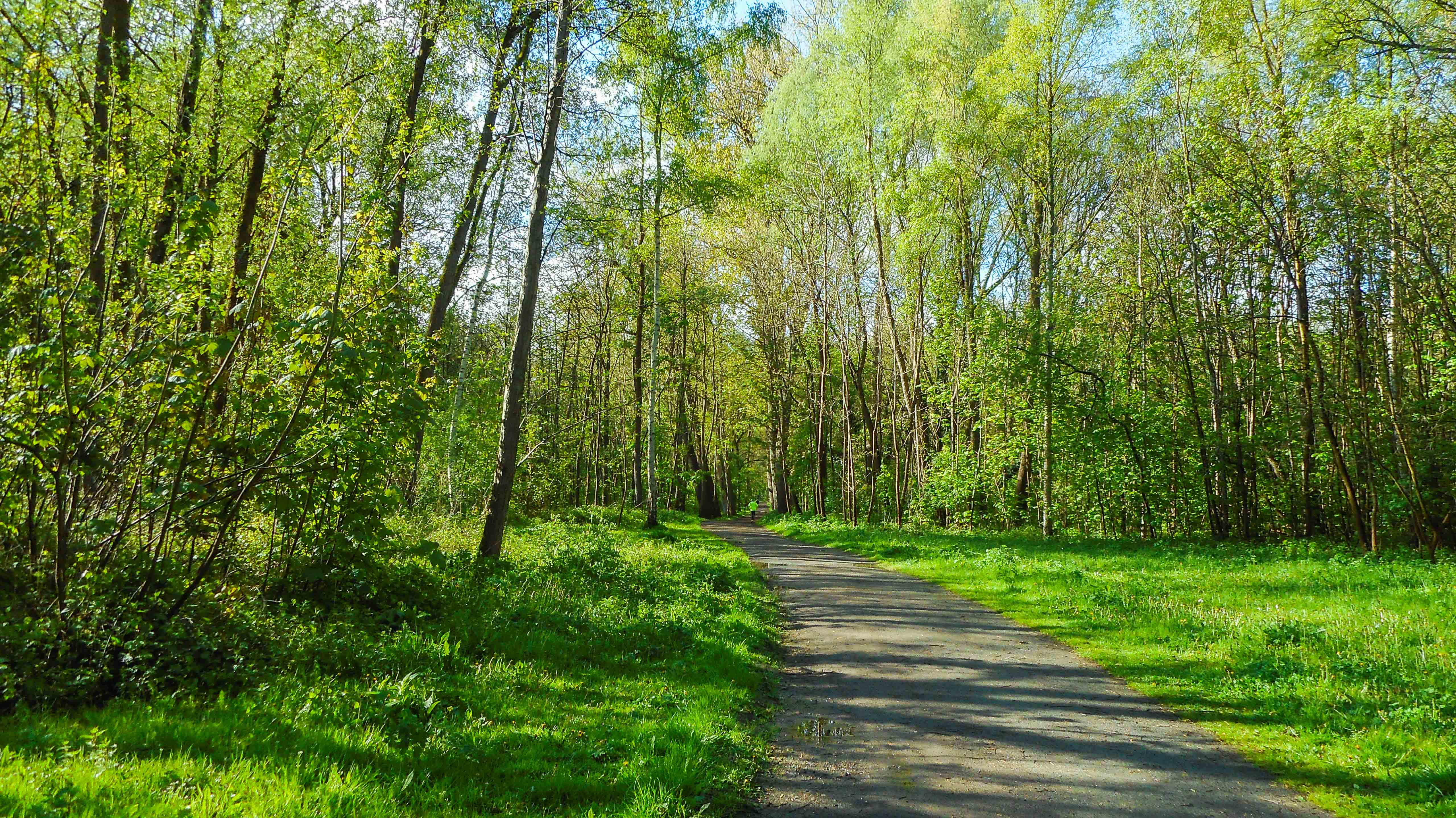
Family walk located south of Aalst. The route makes a loop in the pretty forest of Osbroek and the city park, between trees and small water reservoirs.

Already more than 200,000 users!
Uphill
21m
Highest point
24m
Downhill
21m
Lowest point
4m
Route type
Loop
Download the map on your smartphone to save battery and rest assured to always keep access to the route, even without signal.
Includes IGN France and Swisstopo.
I indicate whether dogs are allowed or prohibited on this trail
All year
0 ratings
Also enjoy:

Already more than 200,000 users!