Uphill
0m
Length
3km
Duration
30min
Elev gain
0m
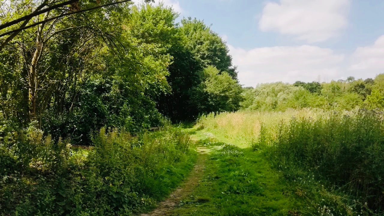
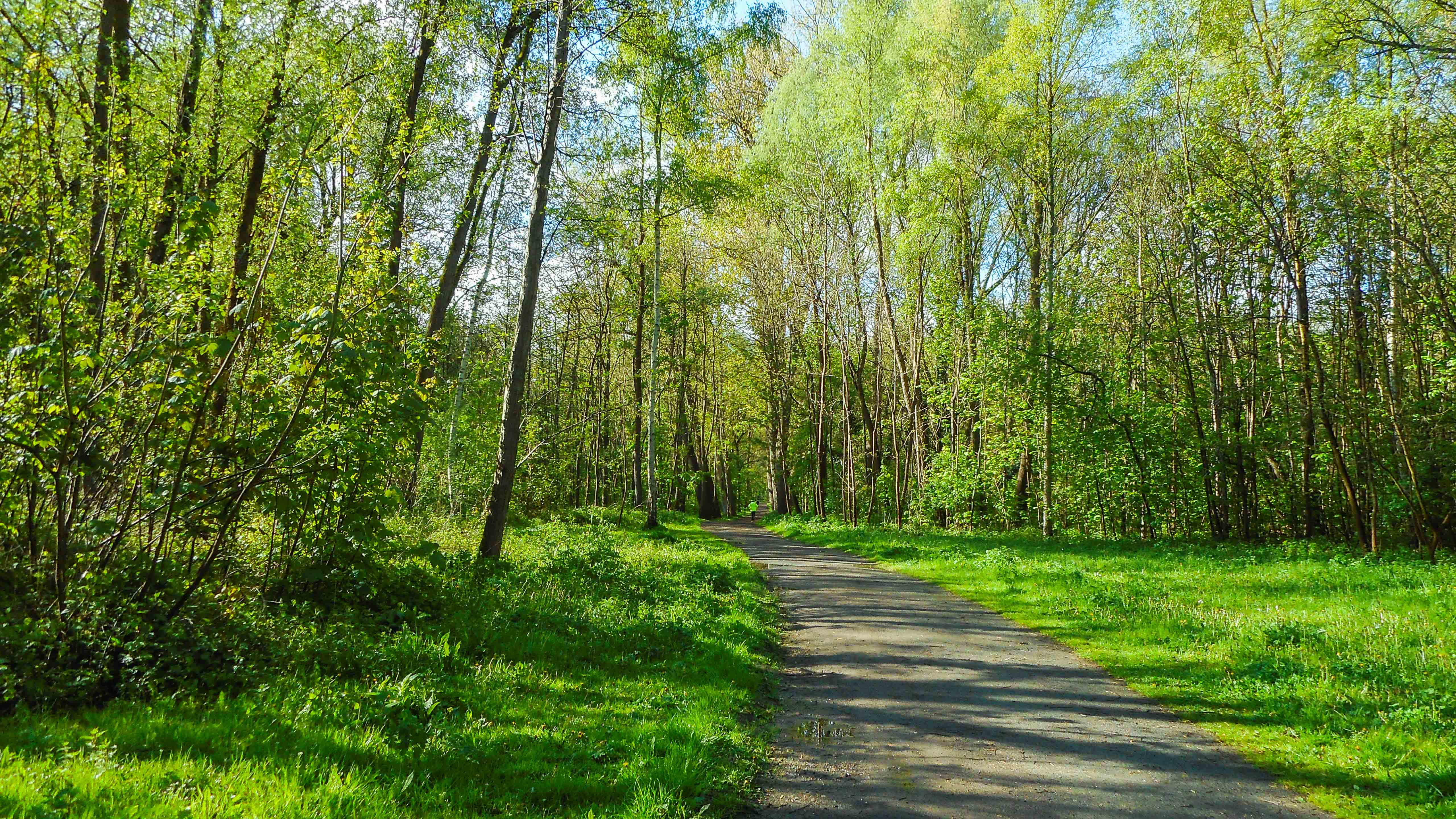
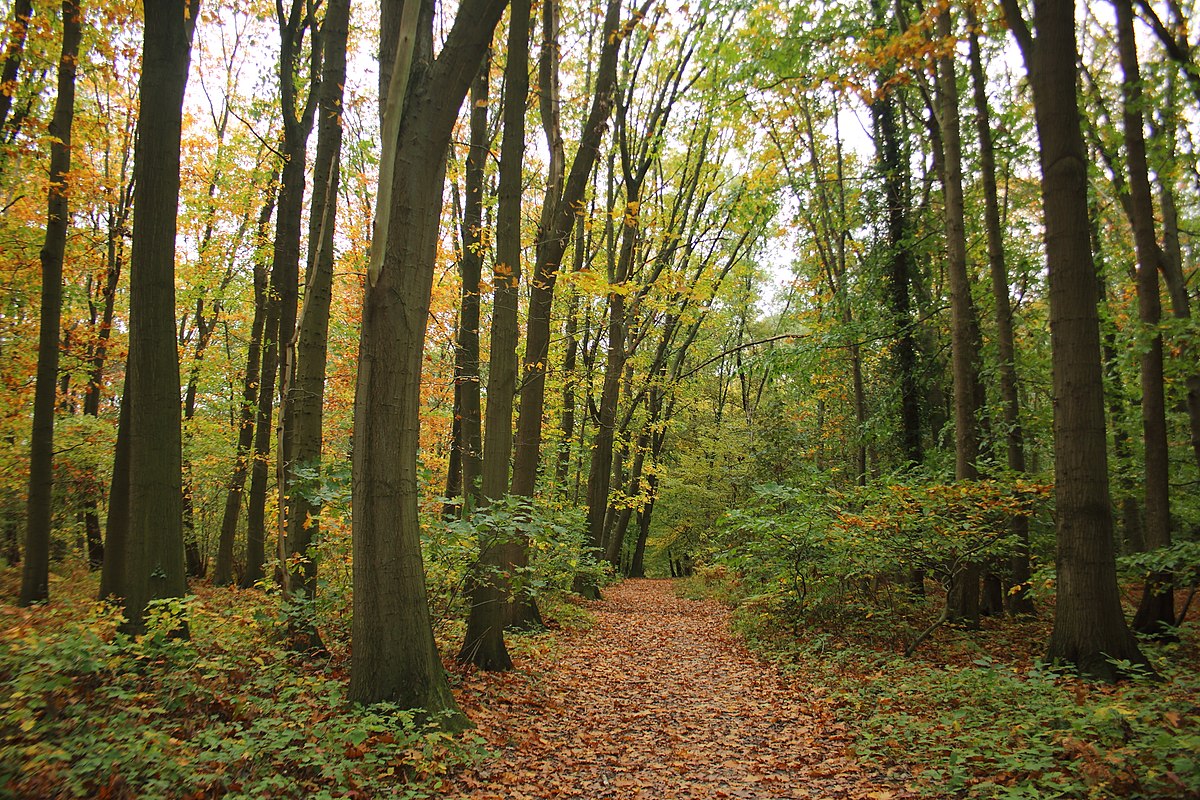
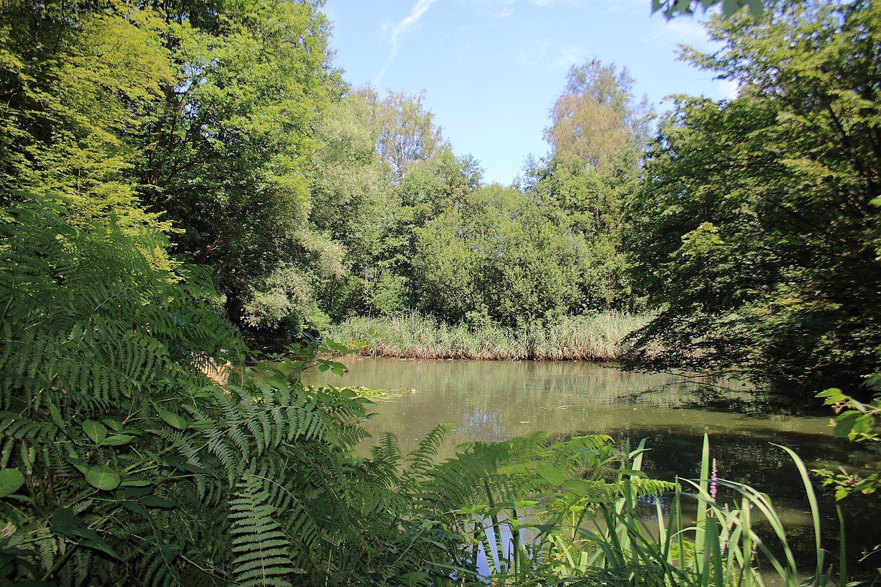
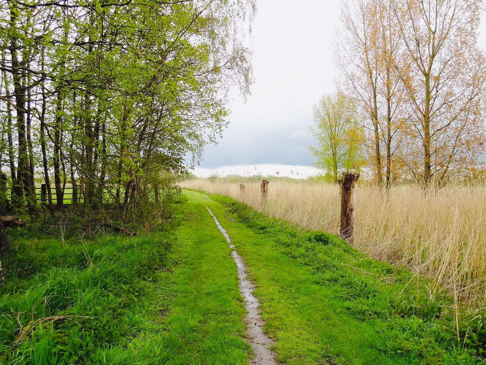
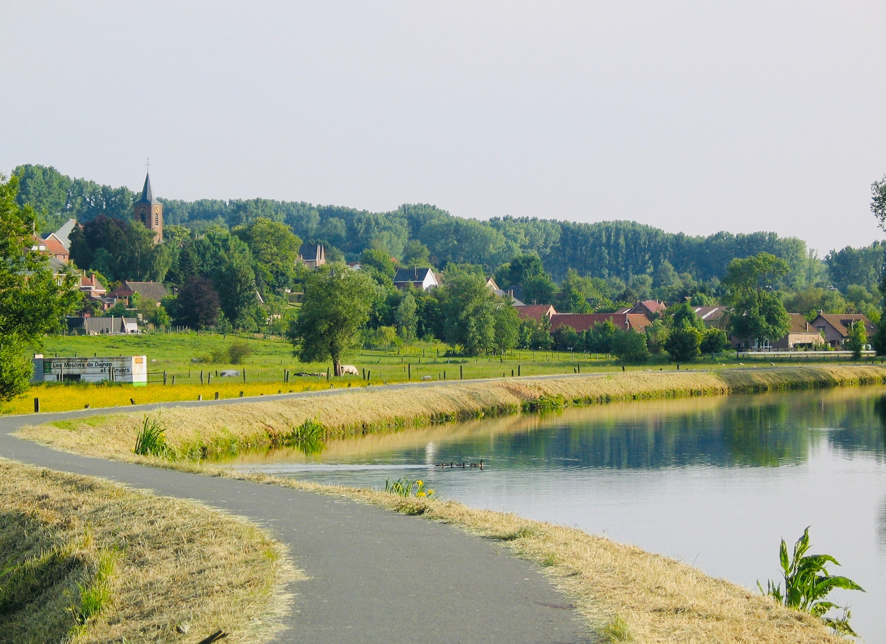
Nice little walk near Denderleeuw. The route makes a round trip along the Dender, on a charming path punctuated with places laid out to rest at the edge of the water.

Already more than 200,000 users!
Uphill
0m
Highest point
19m
Downhill
0m
Lowest point
6m
Route type
There and back
Download the map on your smartphone to save battery and rest assured to always keep access to the route, even without signal.
Includes IGN France and Swisstopo.
I indicate whether dogs are allowed or prohibited on this trail
All year
1 rating
Also enjoy:

Already more than 200,000 users!