Uphill
41m
Length
4km
Duration
1h
Elev gain
41m
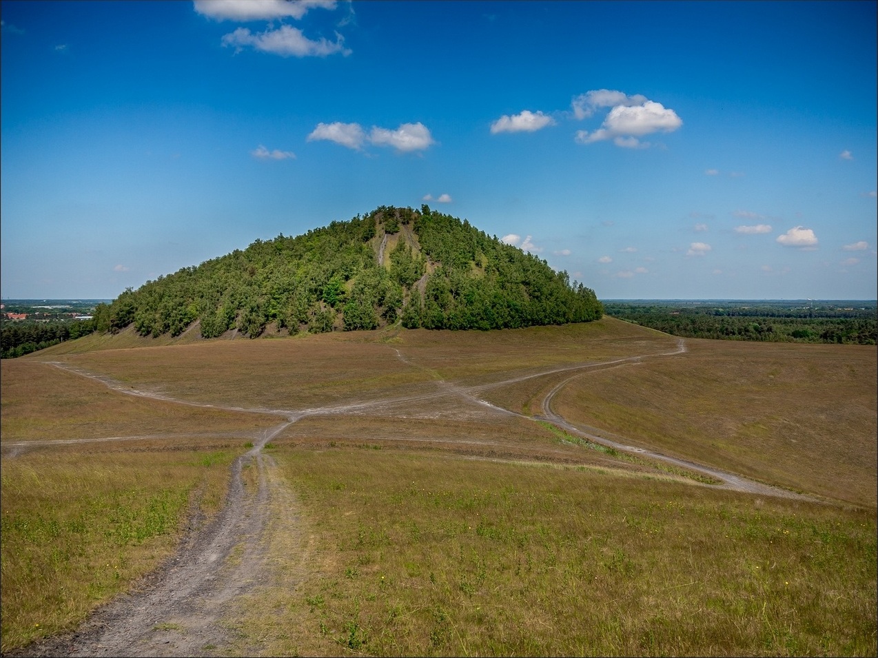
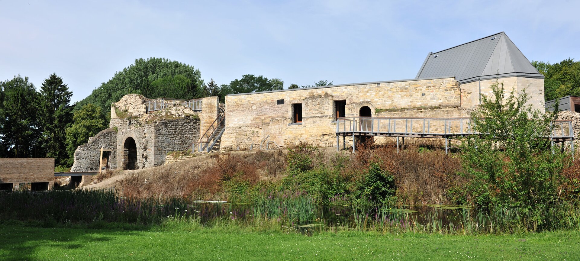
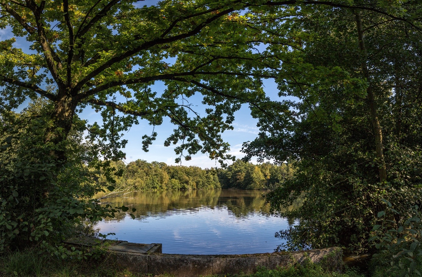
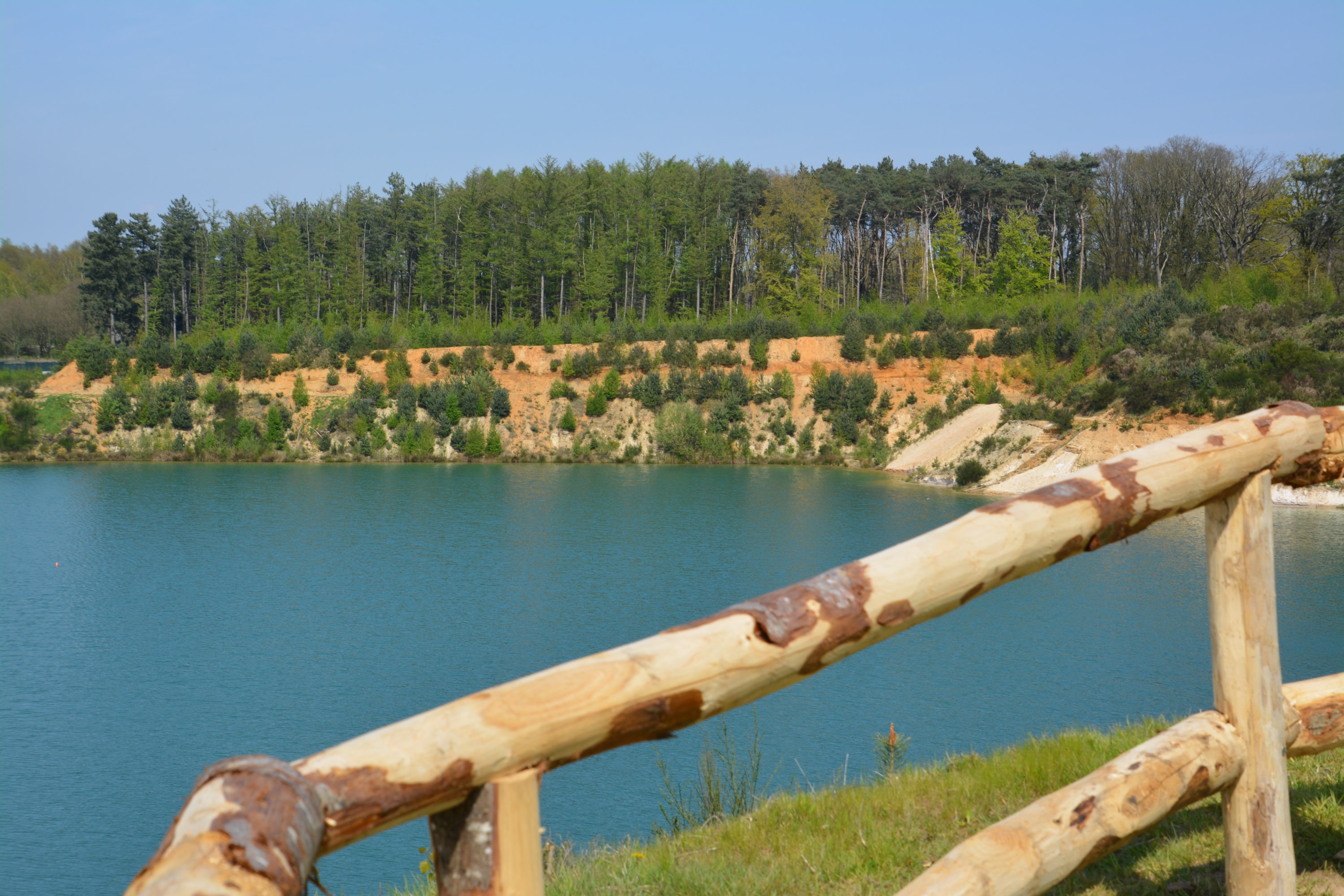
Here is a nice walk near Zutendaal. The route makes a loop within a beautiful environment, between lakes, small beaches and forest. Everything is there to have a good time!

Already more than 200,000 users!
Uphill
41m
Highest point
94m
Downhill
41m
Lowest point
64m
Route type
Loop
Download the map on your smartphone to save battery and rest assured to always keep access to the route, even without signal.
Includes IGN France and Swisstopo.
I indicate whether dogs are allowed or prohibited on this trail
All year
0 ratings
Also enjoy:

Already more than 200,000 users!