Uphill
108m

Length
7km
Duration
2h
Elev gain
108m
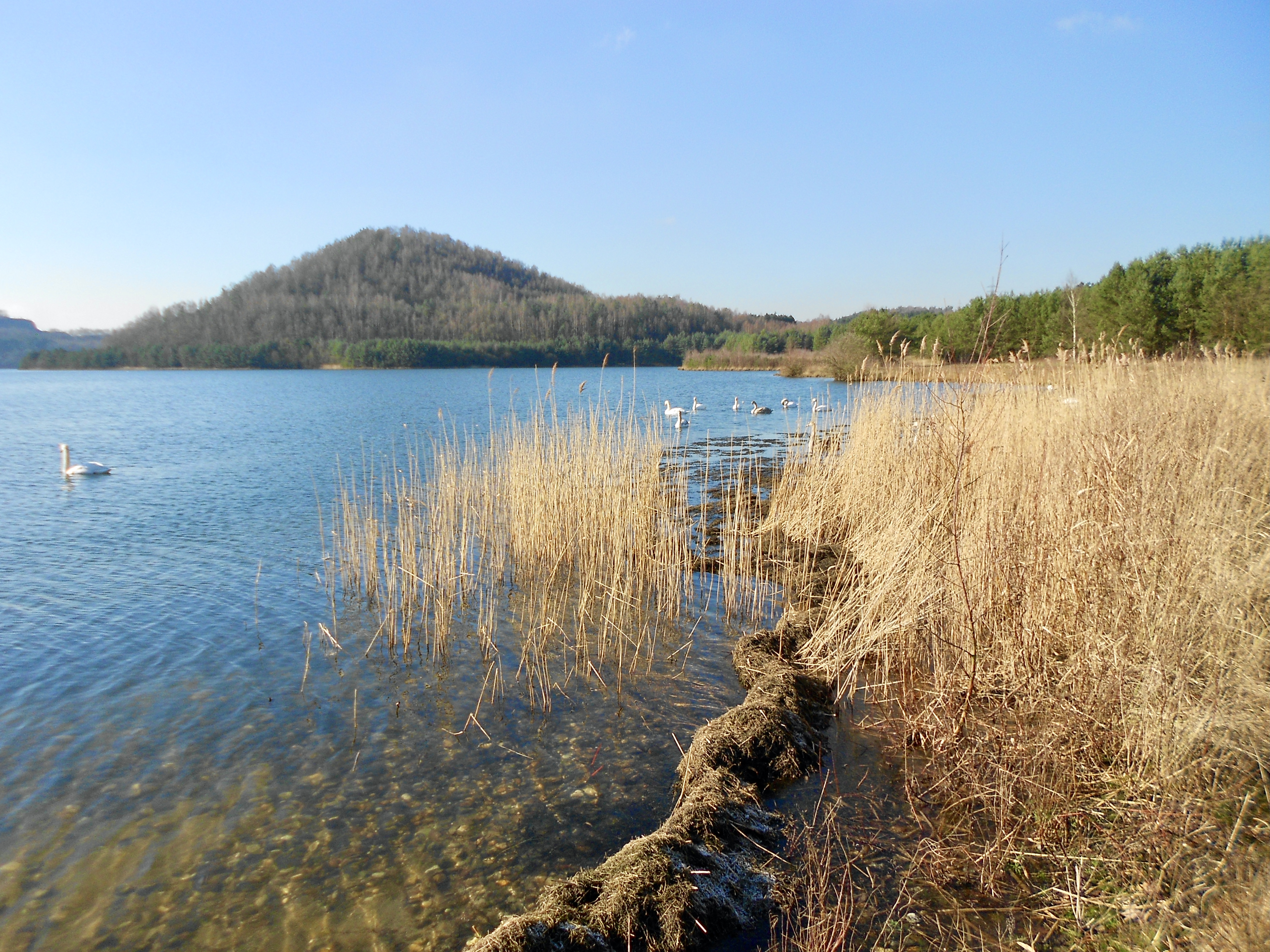
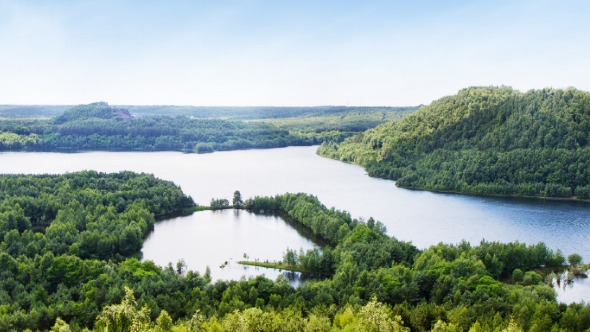
Here is a trail crossing the Malines moor, which is one of the largest moors in Flanders and offers a magnificent natural environment. The path makes a loop through varied landscapes, between moors, pond and forest.

Already more than 200,000 users!
Uphill
108m
Highest point
93m
Downhill
108m
Lowest point
38m
Route type
Loop
Download the map on your smartphone to save battery and rest assured to always keep access to the route, even without signal.
Includes IGN France and Swisstopo.
I indicate whether dogs are allowed or prohibited on this trail
All year
0 ratings
Also enjoy:

Already more than 200,000 users!