Uphill
53m
Length
4km
Duration
1h
Elev gain
53m
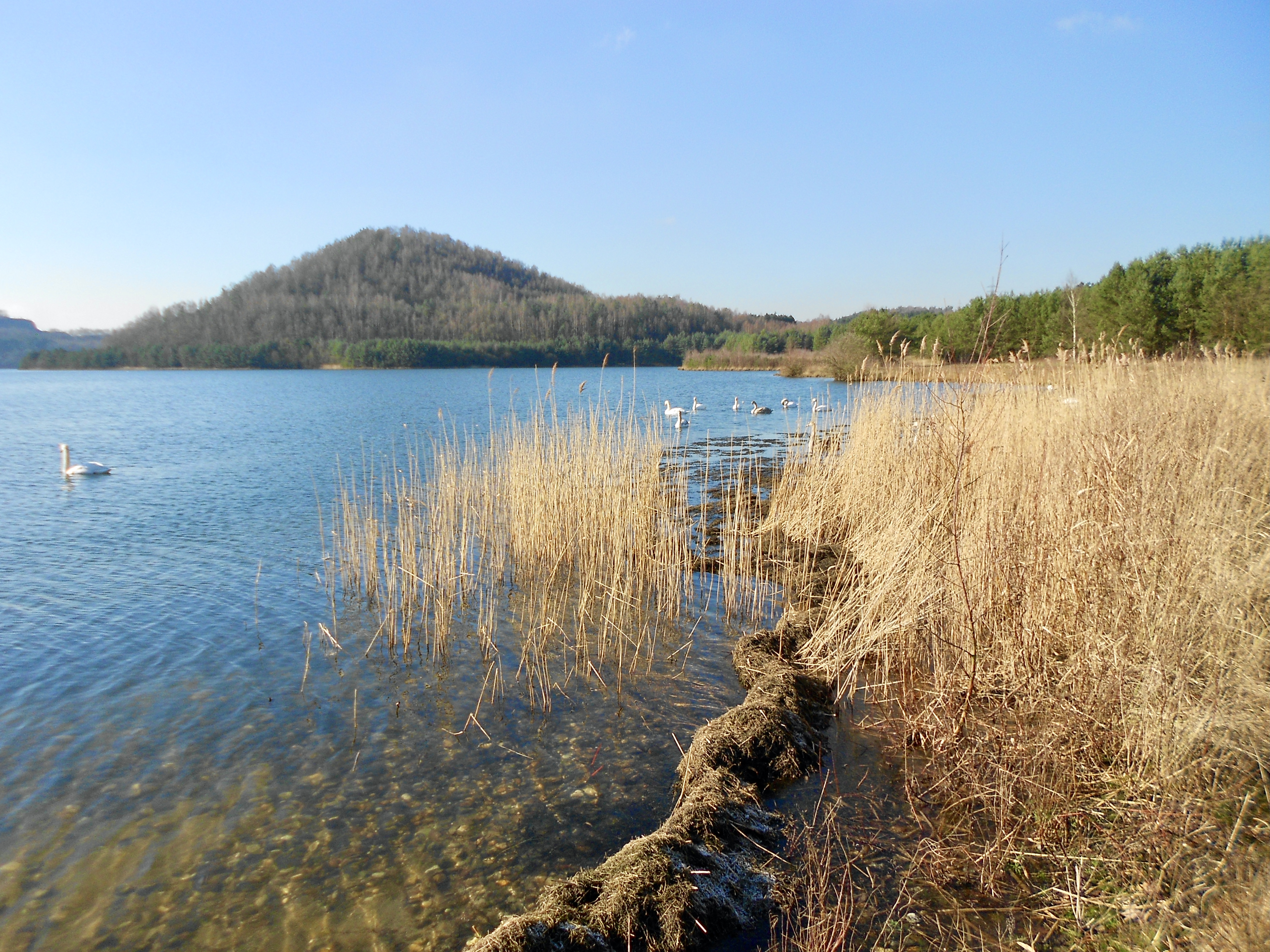
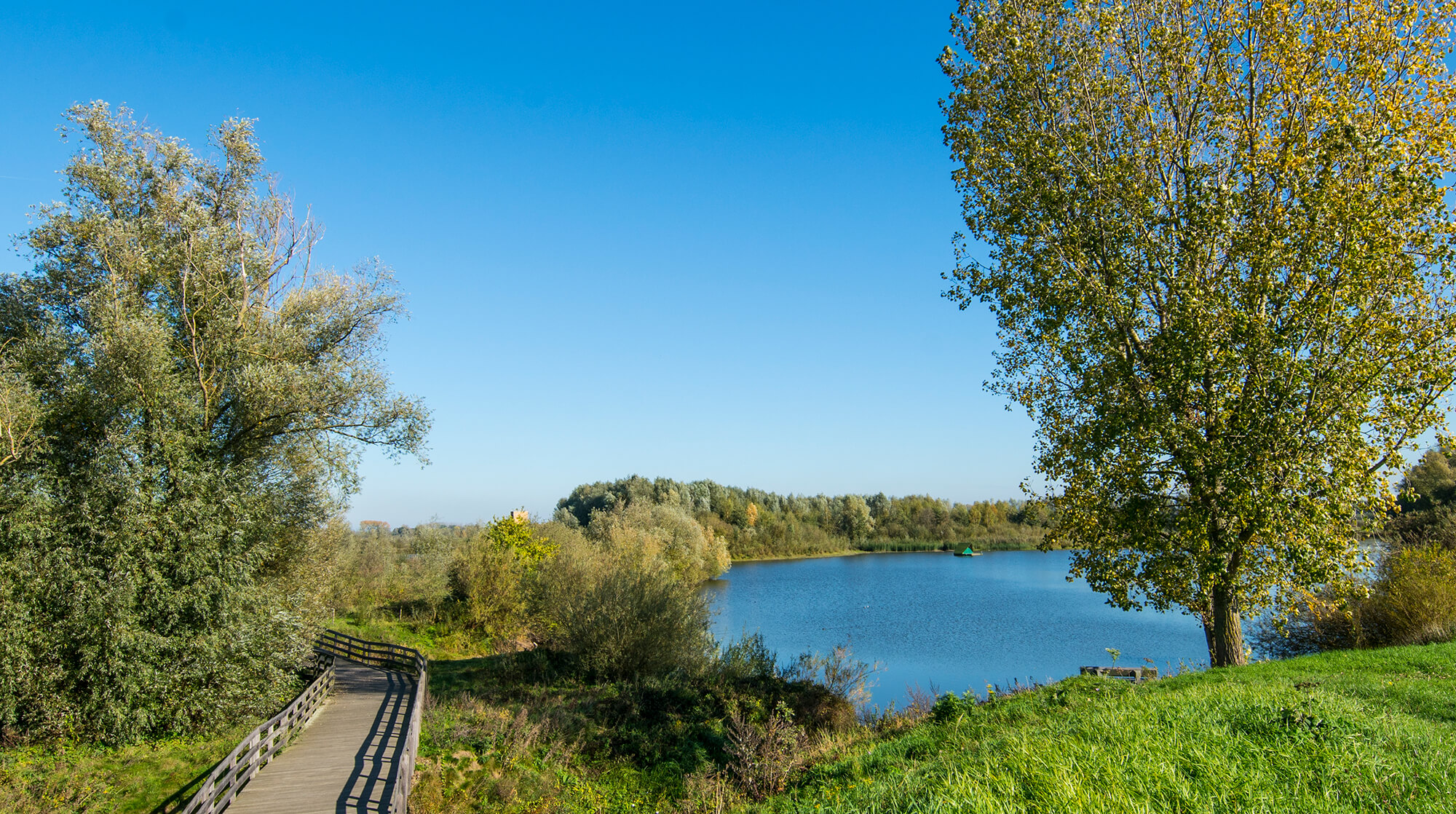
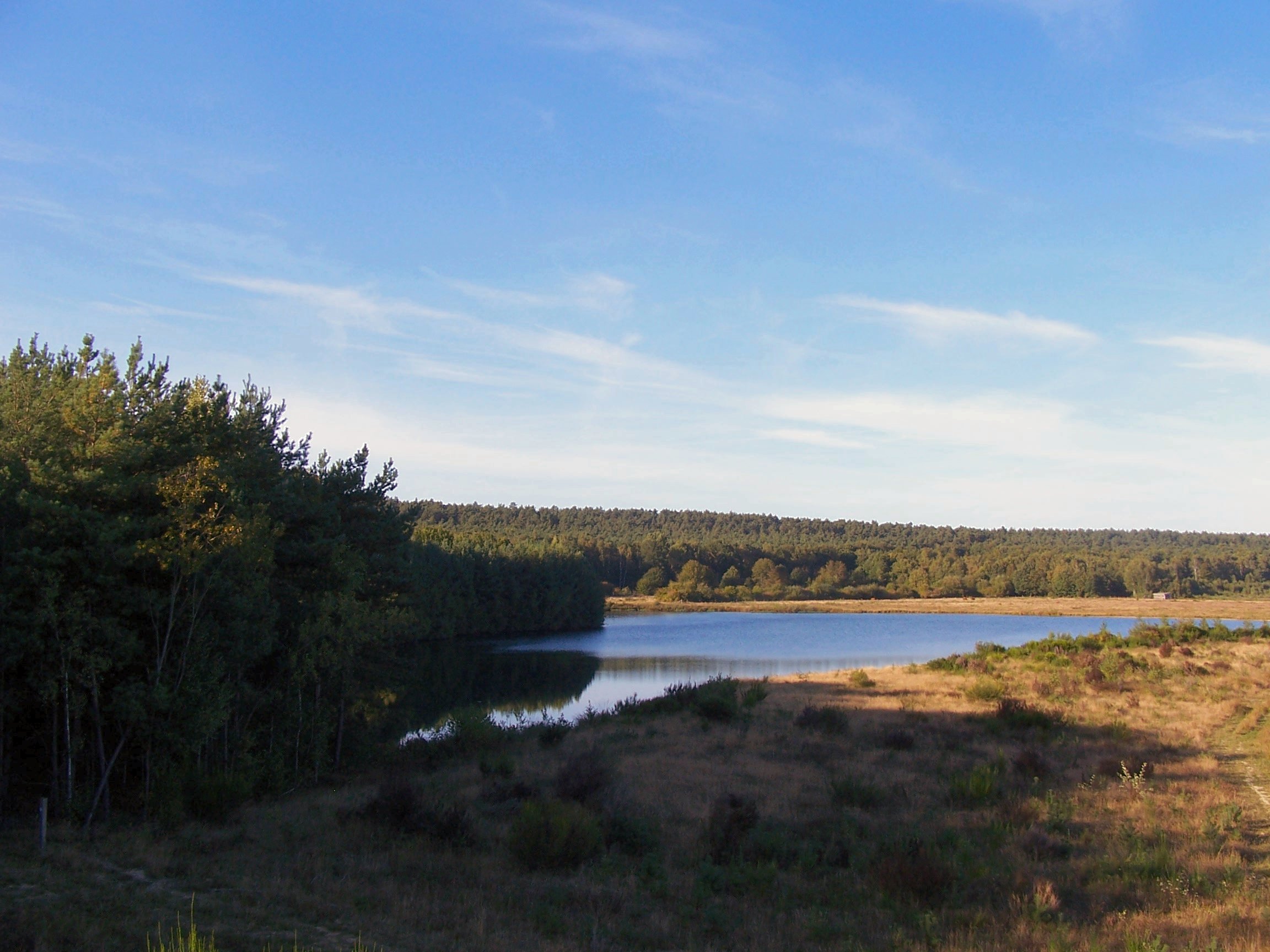
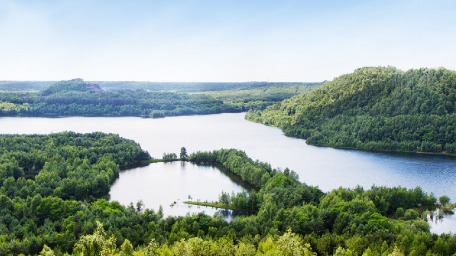
Here is a short and charming walk. The trail joins the top of the Lange slag heap, in order to obtain a magnificent view of the Grote Plas pond and the surrounding forest.

Already more than 200,000 users!
Uphill
53m
Highest point
90m
Downhill
53m
Lowest point
30m
Route type
Loop
Download the map on your smartphone to save battery and rest assured to always keep access to the route, even without signal.
Includes IGN France and Swisstopo.
I indicate whether dogs are allowed or prohibited on this trail
All year
1 rating
Also enjoy:

Already more than 200,000 users!