Uphill
196m

Length
14km
Duration
4h
Elev gain
196m
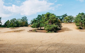
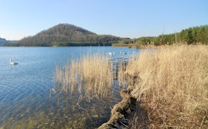
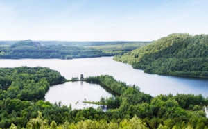
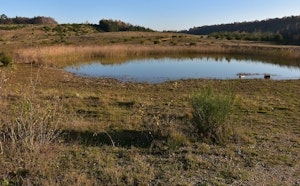
Pleasant walk near the village of Opoeteren. The route makes a loop in a natural and wild environment, notably along the Zuid-Willemsvaart canal, as well as Lake Bergerven. The rest of the walk is mainly in the forest.

Already more than 200,000 users!
Uphill
196m
Highest point
96m
Downhill
196m
Lowest point
11m
Route type
Loop
Download the map on your smartphone to save battery and rest assured to always keep access to the route, even without signal.
Includes IGN France and Swisstopo.
I indicate whether dogs are allowed or prohibited on this trail
All year
0 ratings
Also enjoy:

Already more than 200,000 users!