Uphill
88m
Length
8km
Duration
2h
Elev gain
88m
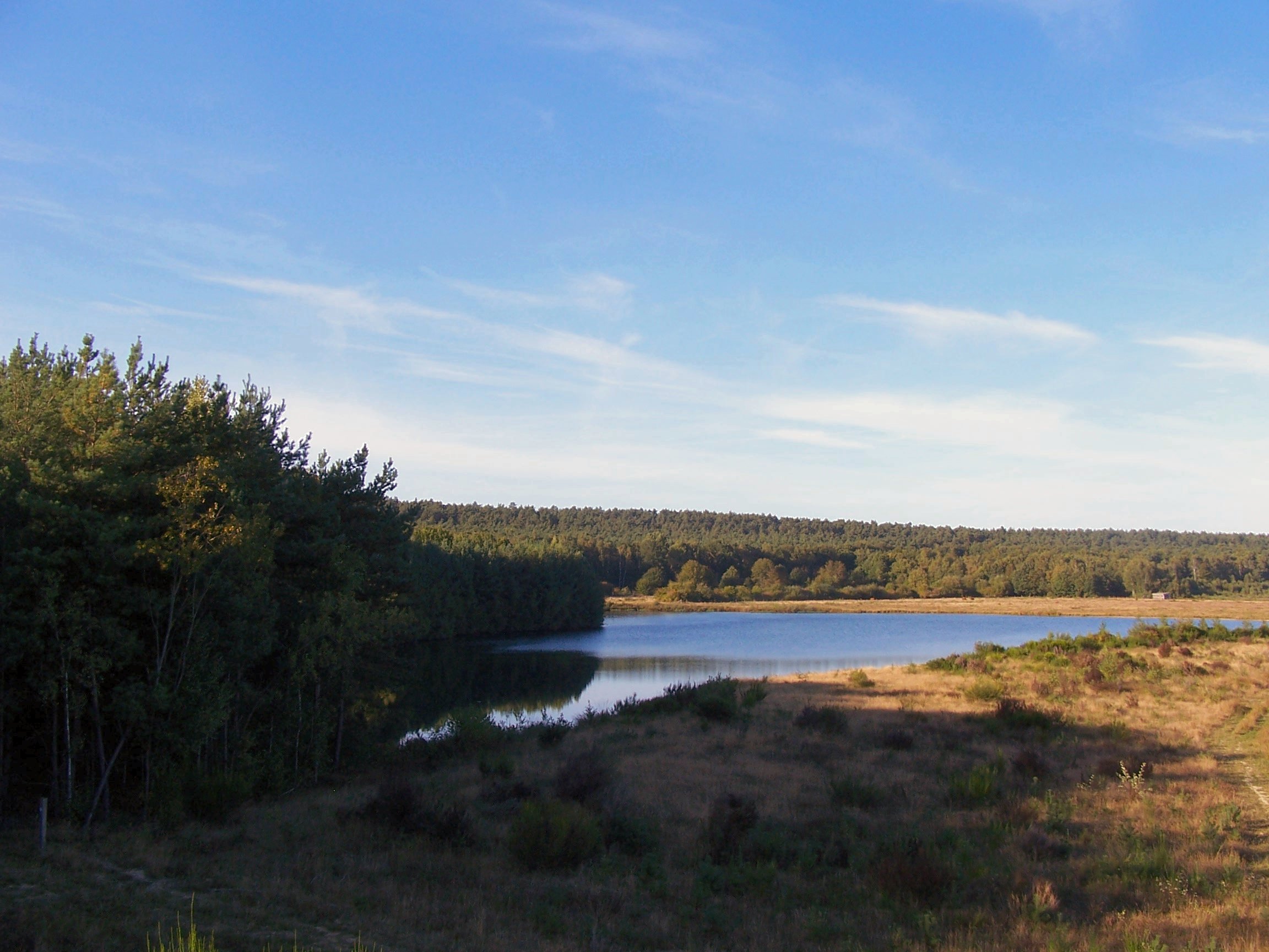
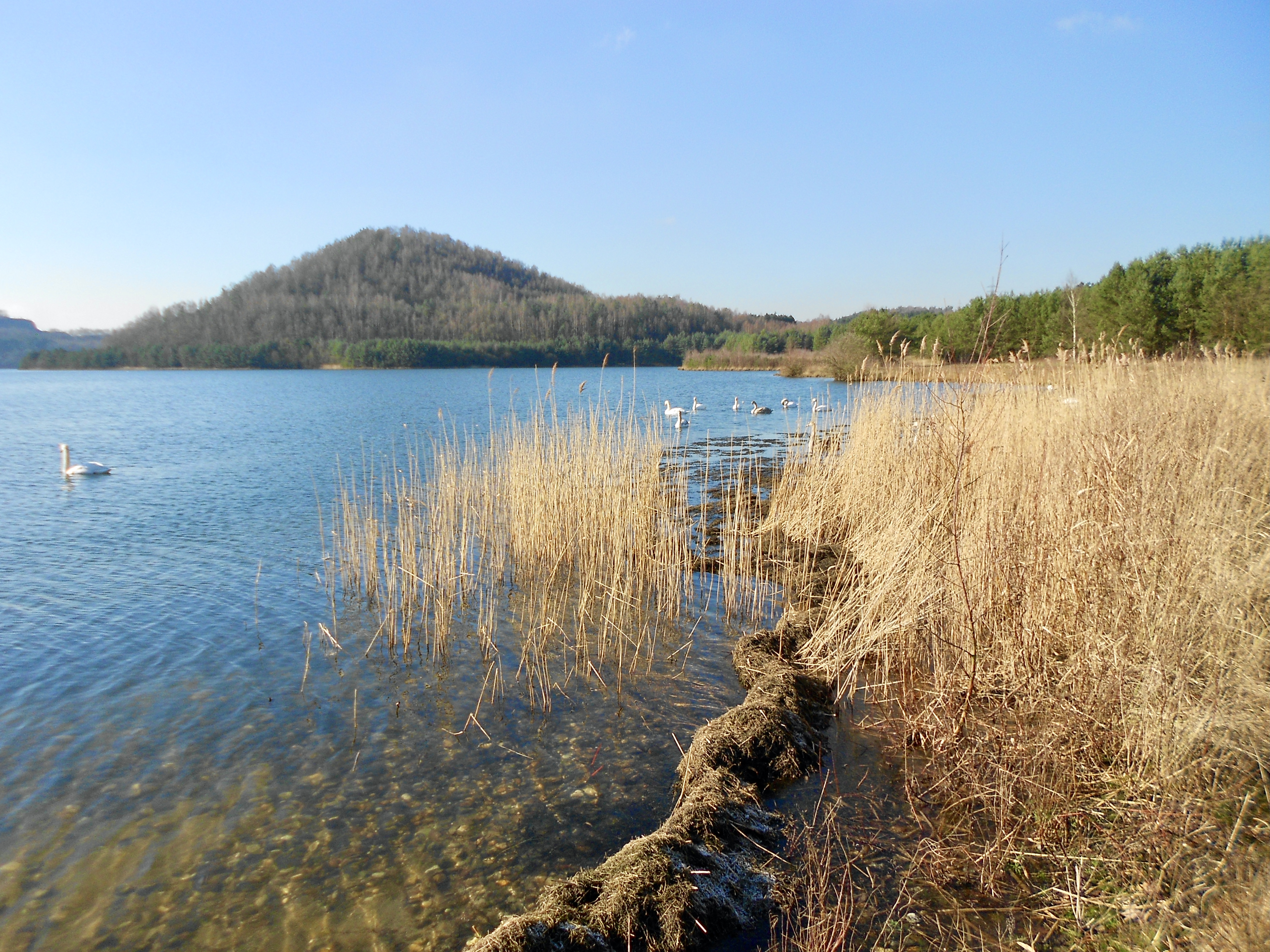
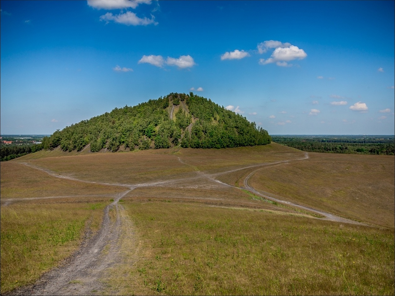
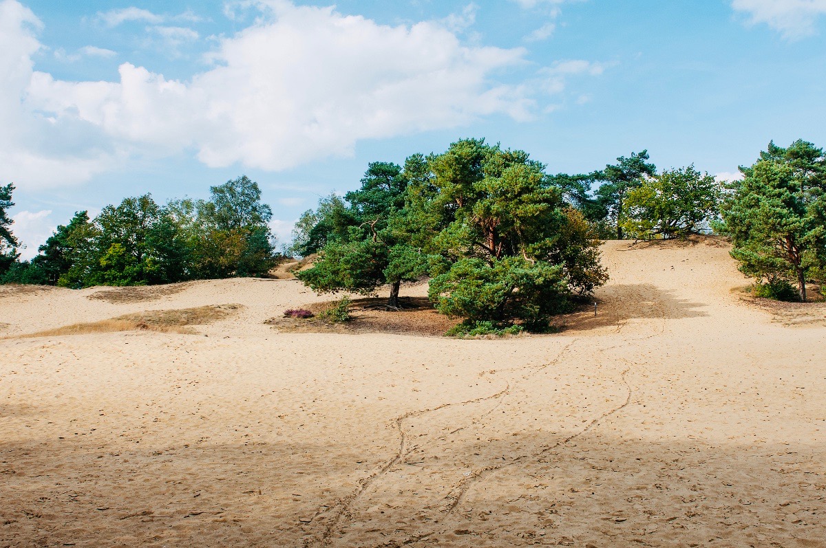
Nice hike on varied trails. The route makes a loop mainly in the forest then halfway, leads to sand dunes before returning to the direction of the starting point.

Already more than 200,000 users!
Uphill
88m
Highest point
91m
Downhill
88m
Lowest point
54m
Route type
Loop
Download the map on your smartphone to save battery and rest assured to always keep access to the route, even without signal.
Includes IGN France and Swisstopo.
I indicate whether dogs are allowed or prohibited on this trail
All year
0 ratings
Also enjoy:

Already more than 200,000 users!