Uphill
214m
Length
10km
Duration
3h
Elev gain
214m
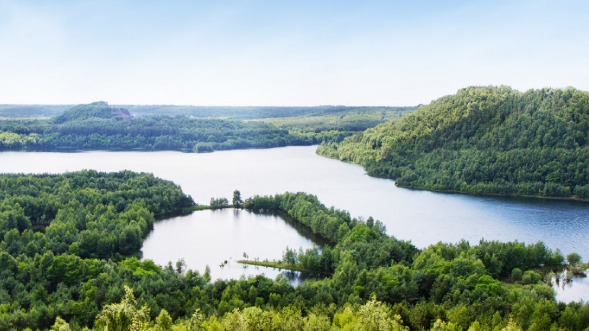
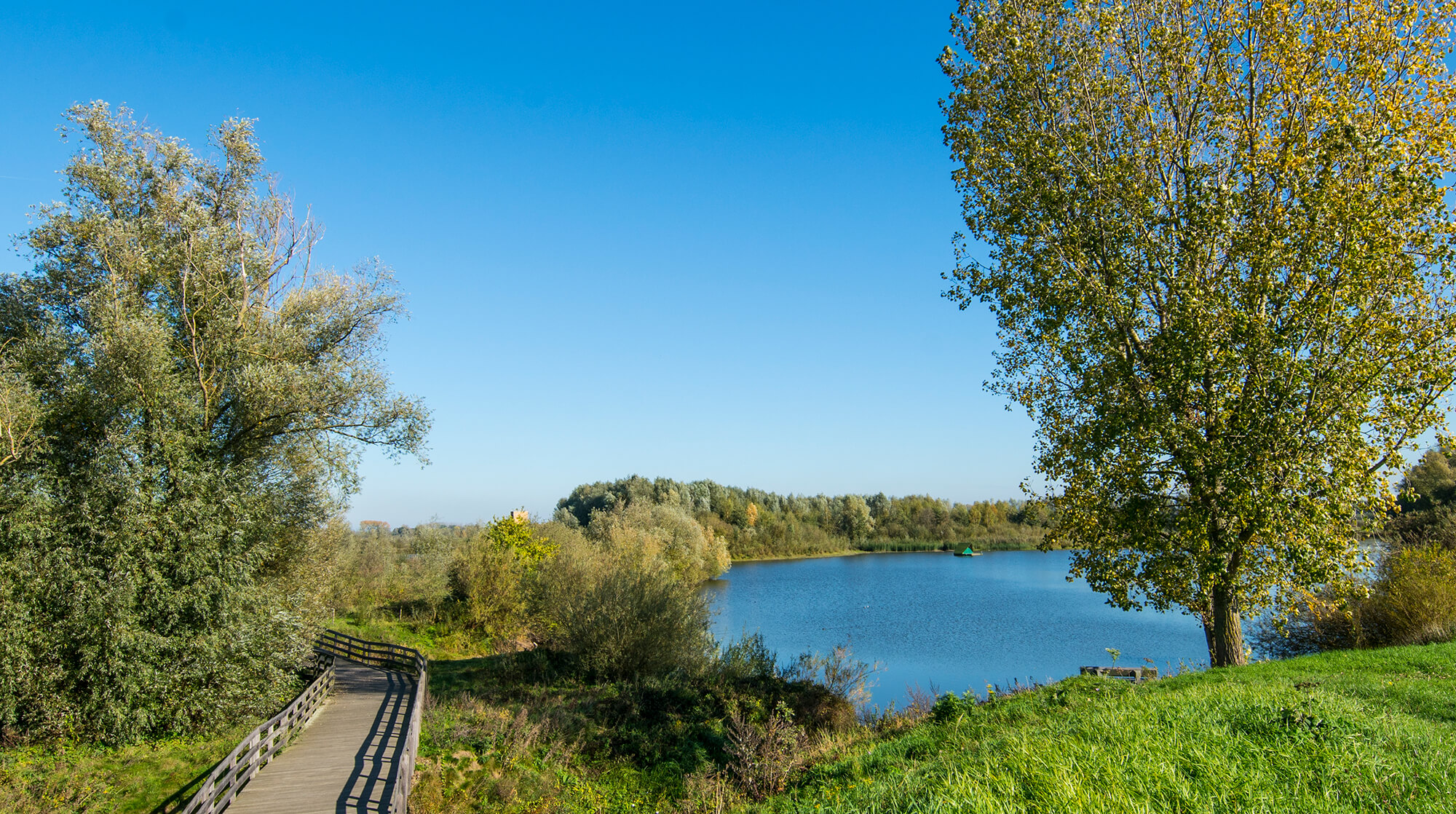
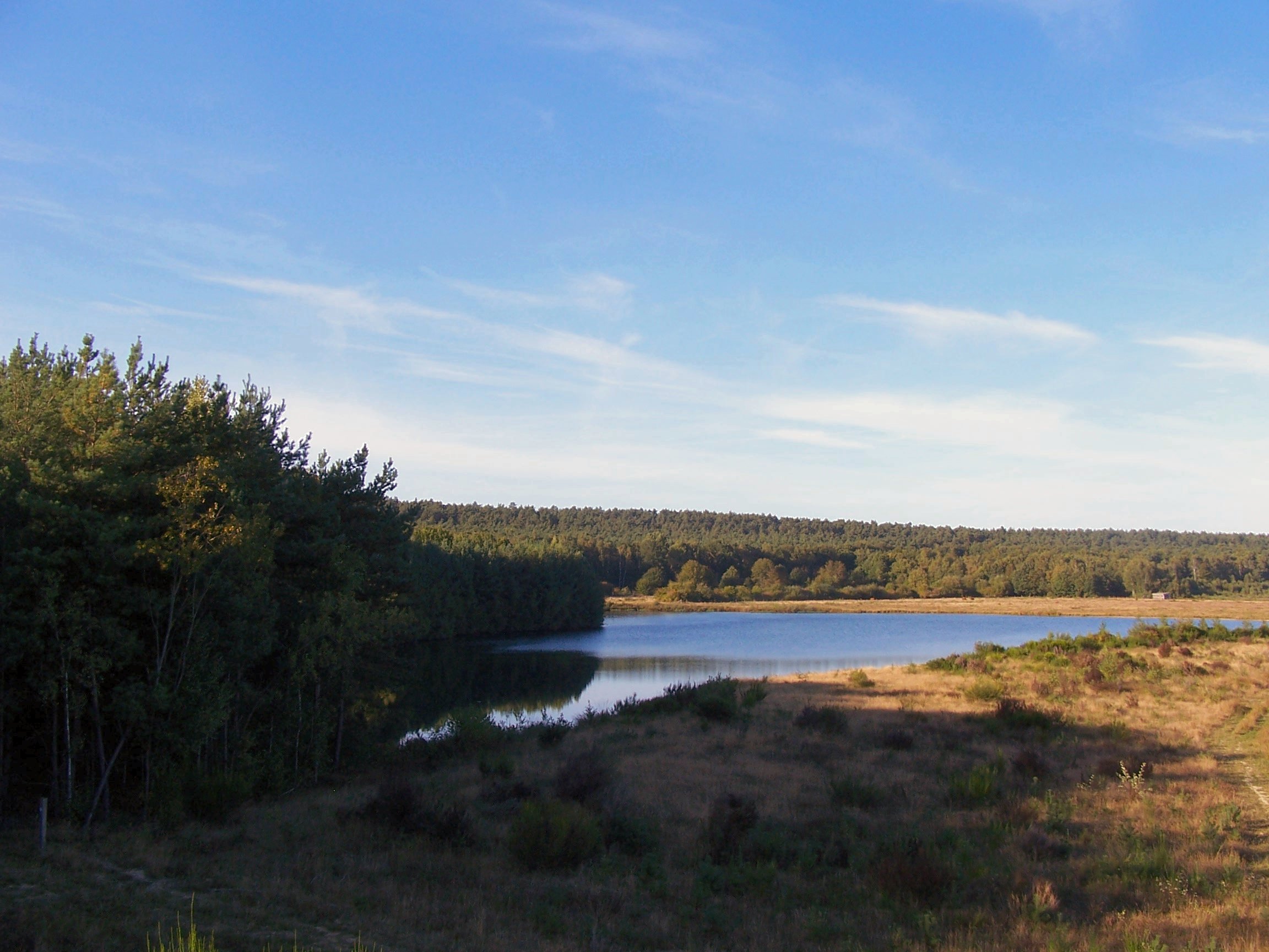
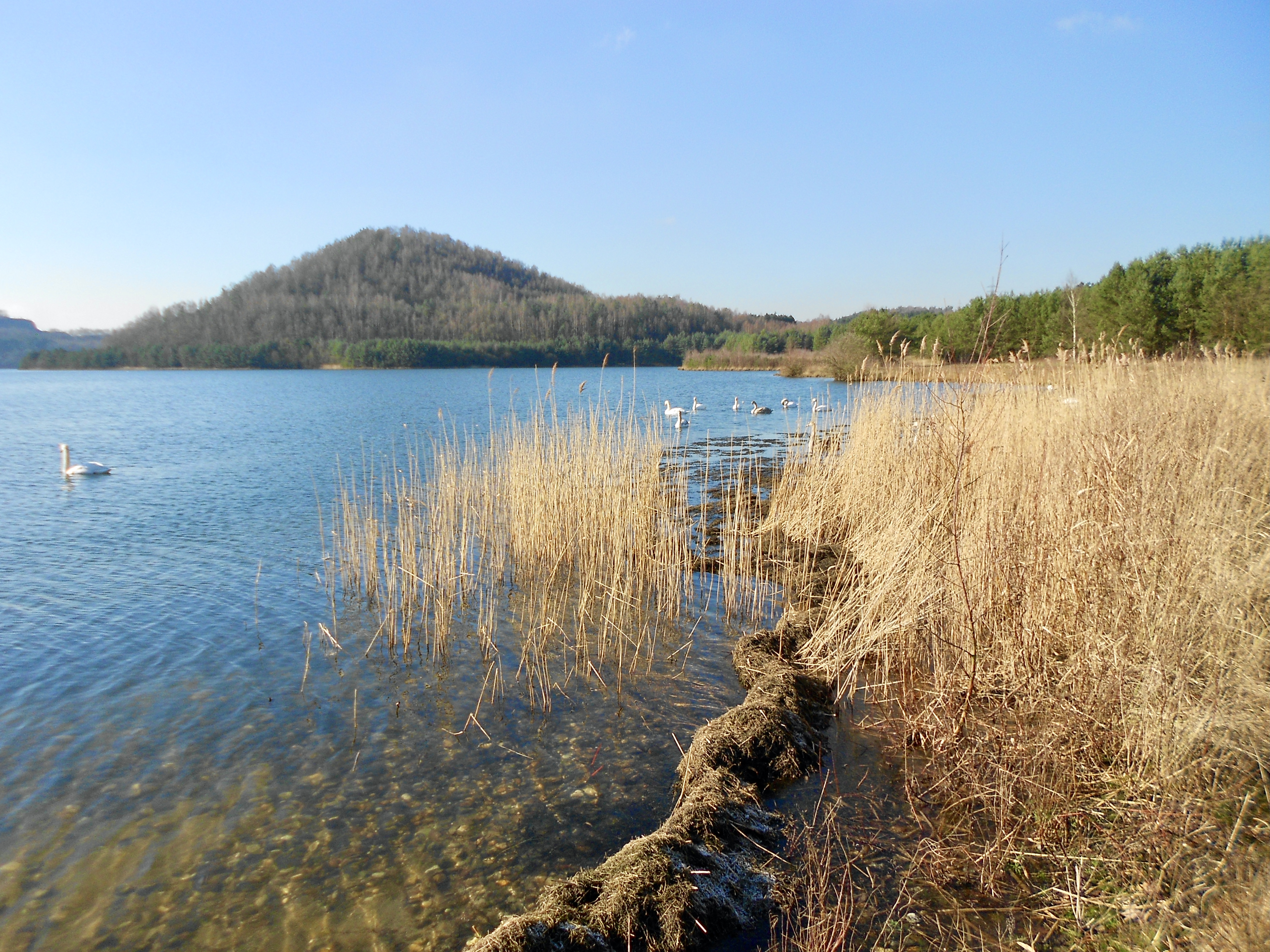
Hike in the heart of an old coal mine. This history has left its mark on the area and today offers numerous hiking trails, each as beautiful as the next. This route joins the top of a slag heap for a nice view, then goes around a large lake bordered by forests.

Already more than 200,000 users!
Uphill
214m
Highest point
118m
Downhill
214m
Lowest point
12m
Route type
Loop
Download the map on your smartphone to save battery and rest assured to always keep access to the route, even without signal.
Includes IGN France and Swisstopo.
I indicate whether dogs are allowed or prohibited on this trail
All year
0 ratings
Also enjoy:

Already more than 200,000 users!