Uphill
287m
Length
13km
Duration
4h
Elev gain
287m
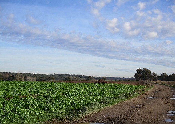
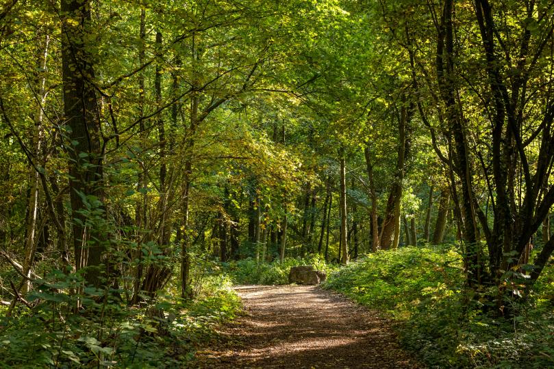
It is north of Villers-la-Ville that this hike begins. The route follows various paths and passes through two small villages called La Roche and Tangissart, each as beautiful as the other.
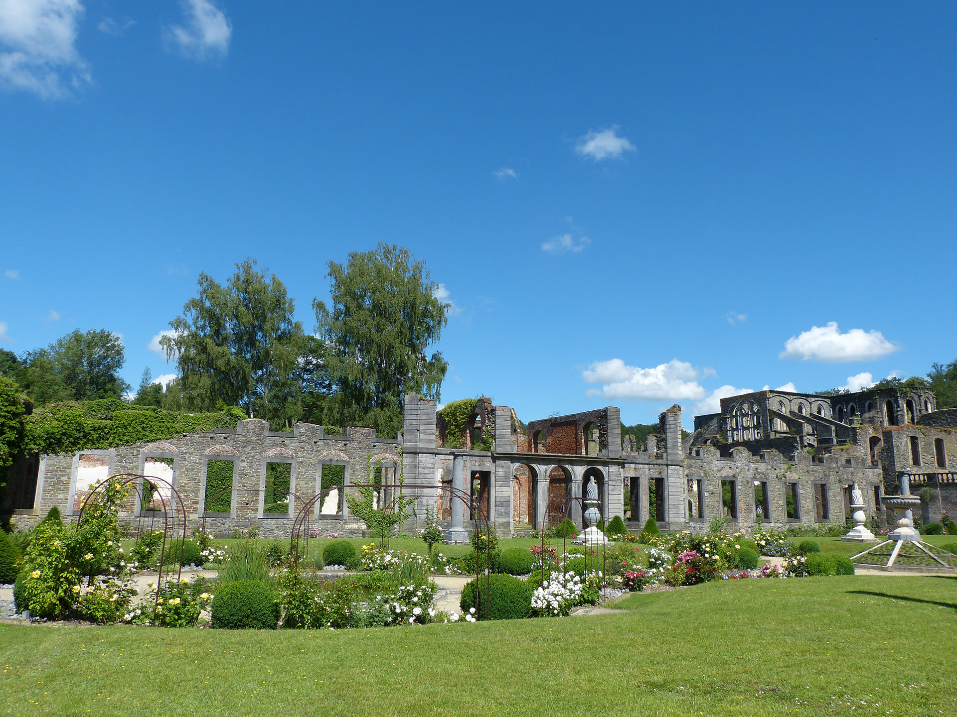
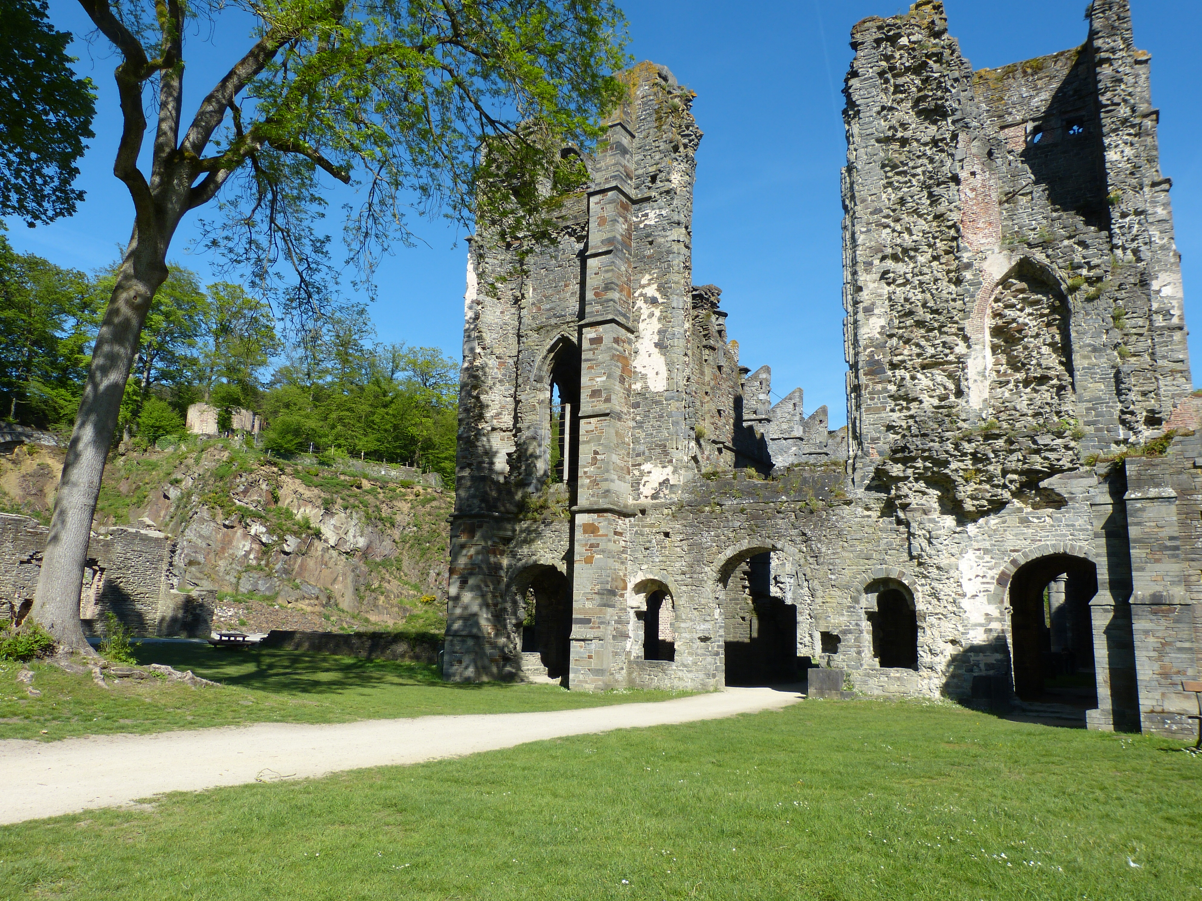
It is also possible to visit the ruins of Villers Abbey (entrance fee).

Already more than 200,000 users!
Uphill
287m
Highest point
159m
Downhill
287m
Lowest point
74m
Route type
Loop
Download the map on your smartphone to save battery and rest assured to always keep access to the route, even without signal.
Includes IGN France and Swisstopo.
I indicate whether dogs are allowed or prohibited on this trail
All year
4 ratings
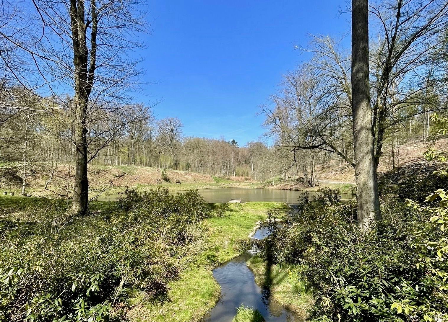
Belle diversité de paysages. Pas de grosses difficultés, si ce n'est le sentier très boueux sur la partie qui longe le ruisseau au nord-ouest de la carte (début mars).
Sentier boueux très boueux à un moment
Also enjoy:

Already more than 200,000 users!