Uphill
126m
Length
6km
Duration
1h30min
Elev gain
126m
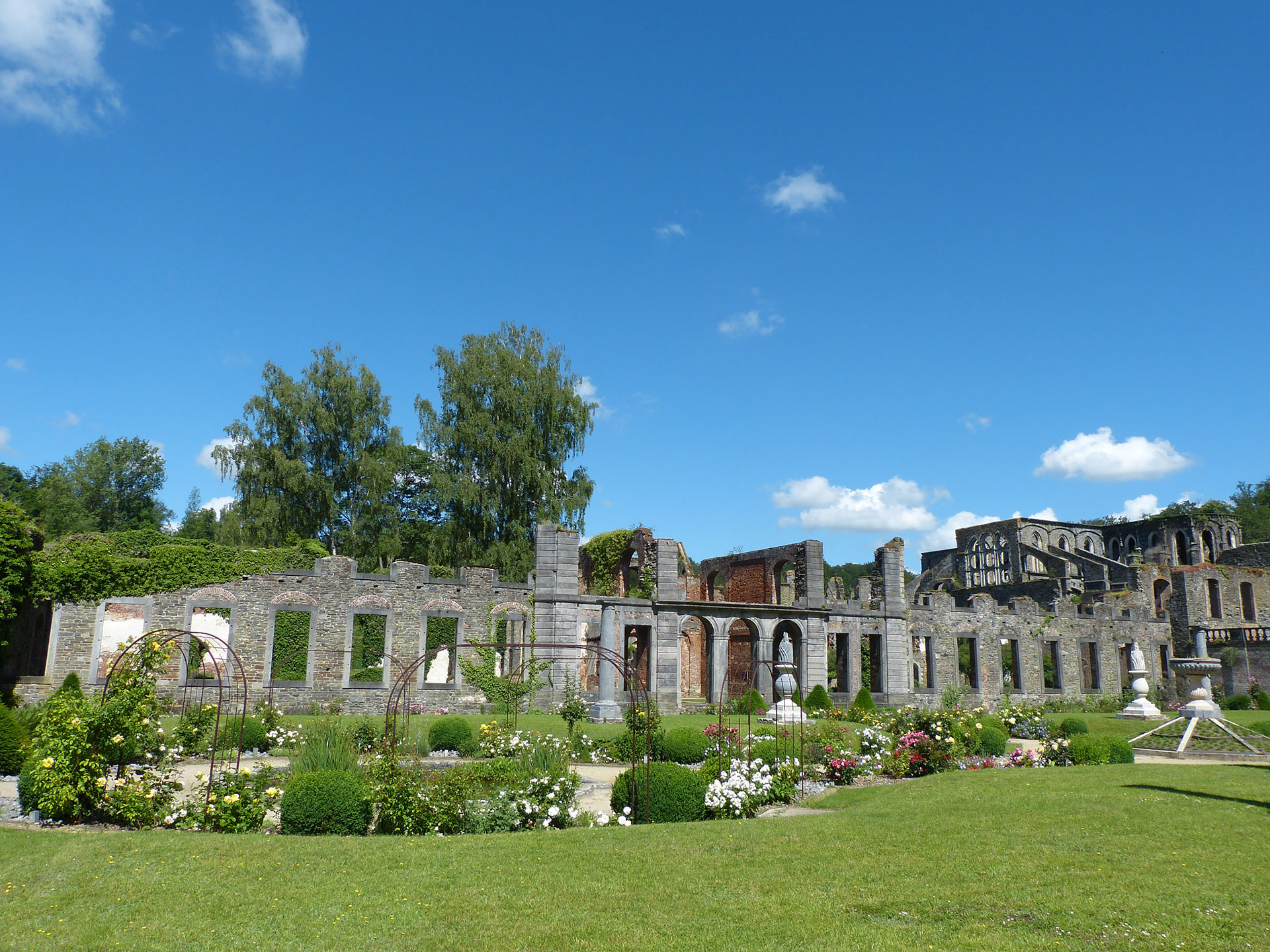
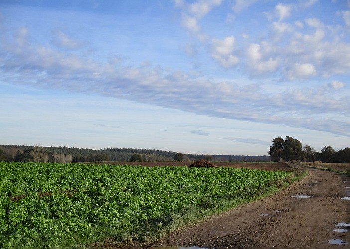
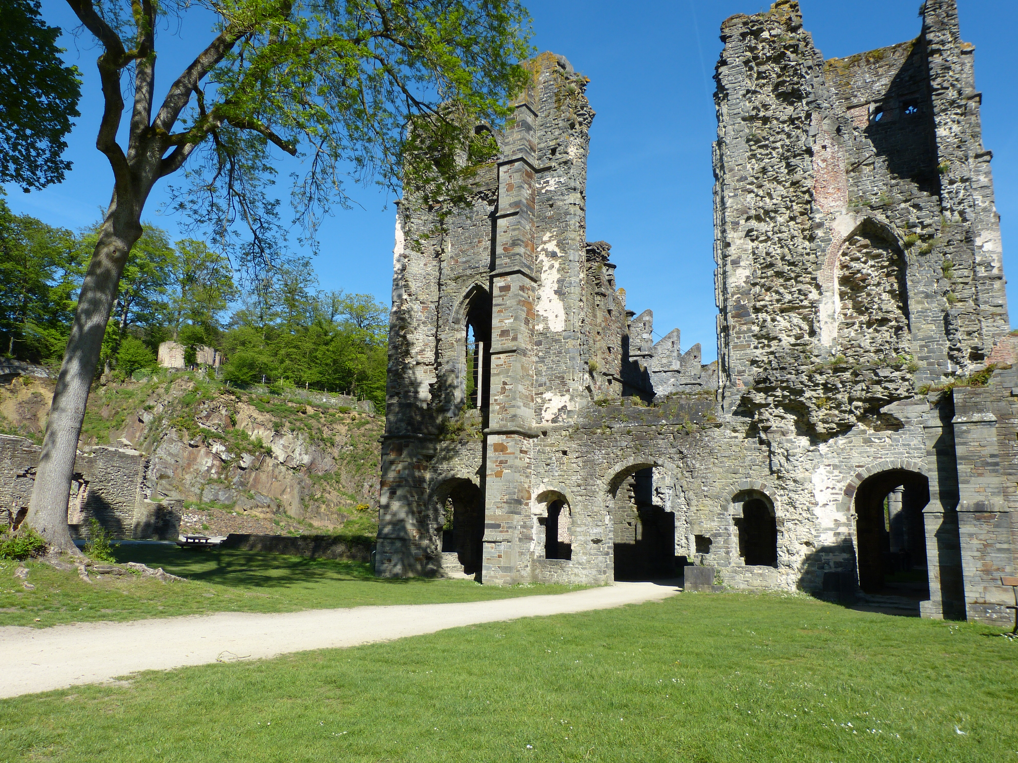
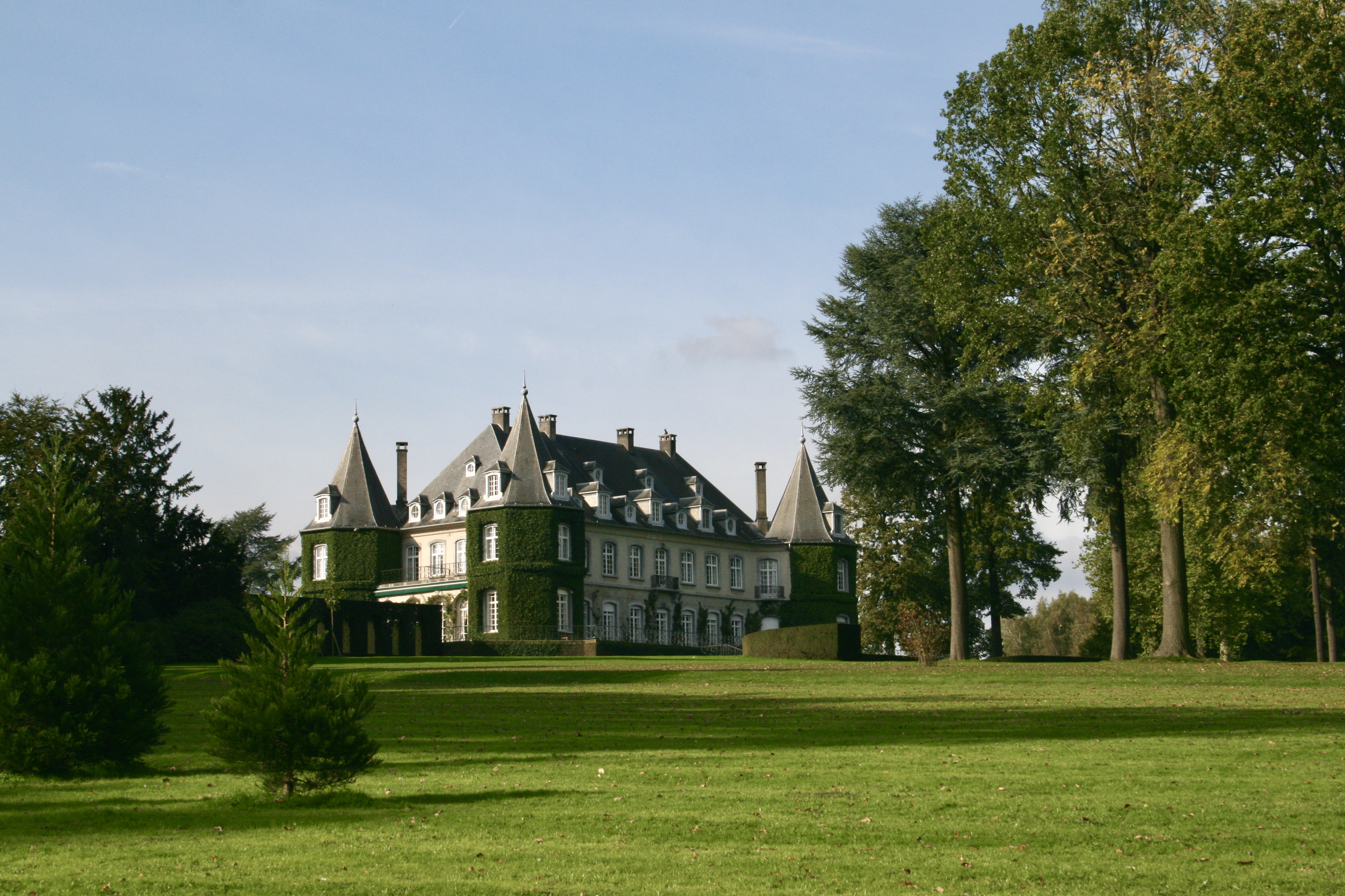
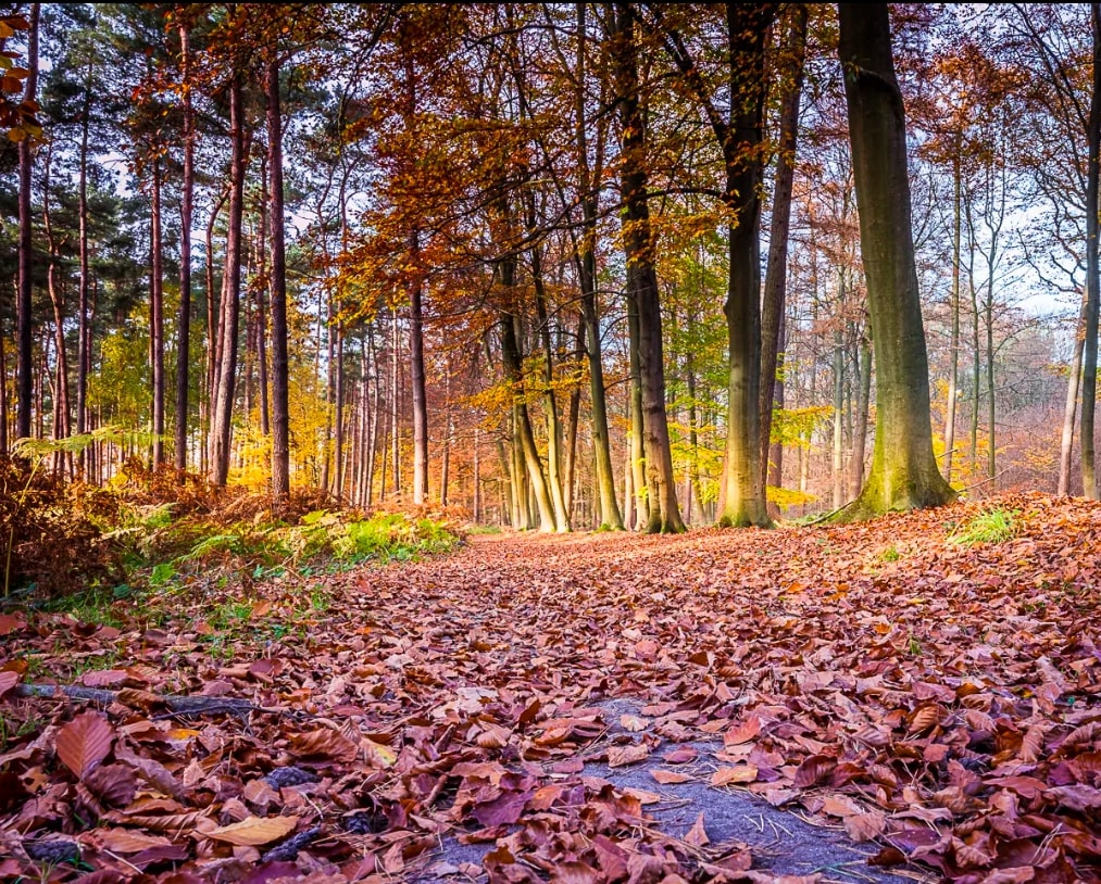
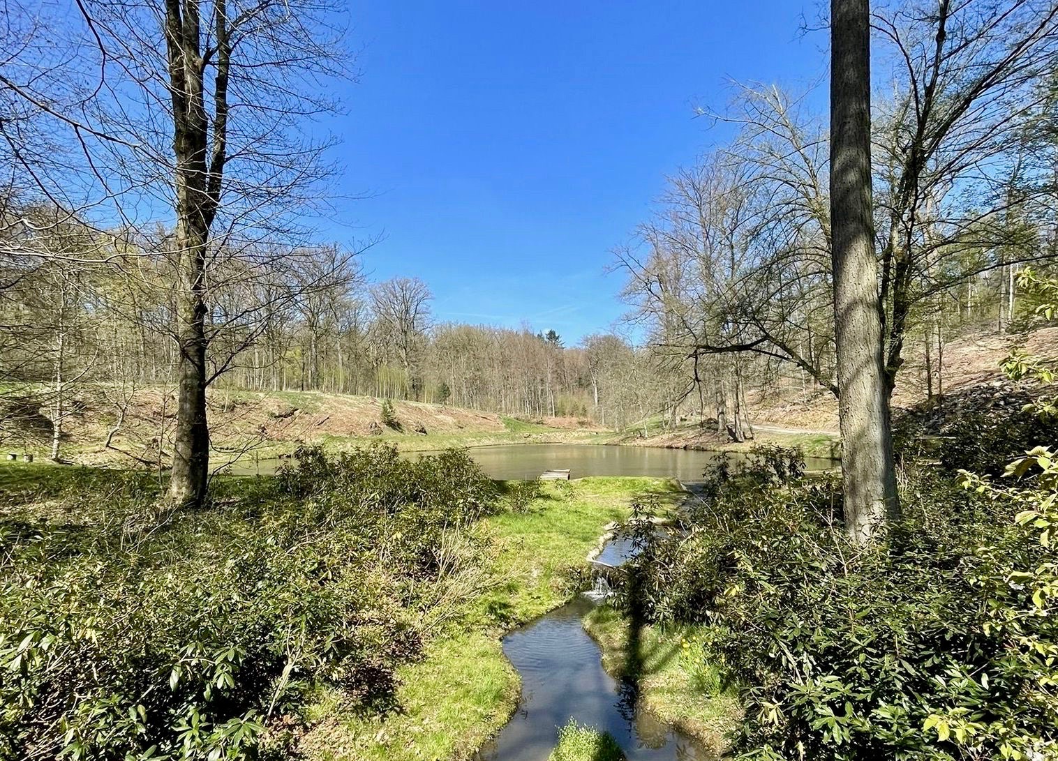
It is near Genappe, in the Bois de Thy, that this charming walk takes place. The course makes a loop between meadows, forest and small river, in a peaceful and pleasant setting.

Already more than 200,000 users!
Uphill
126m
Highest point
144m
Downhill
126m
Lowest point
70m
Route type
Loop
Download the map on your smartphone to save battery and rest assured to always keep access to the route, even without signal.
Includes IGN France and Swisstopo.
I indicate whether dogs are allowed or prohibited on this trail
All year
7 ratings
Great trail, lovely with dogs. Very muddy (we hiked in early Jan) so wear boots!!
Also enjoy:

Already more than 200,000 users!