Uphill
86m
Length
4km
Duration
1h30min
Elev gain
86m
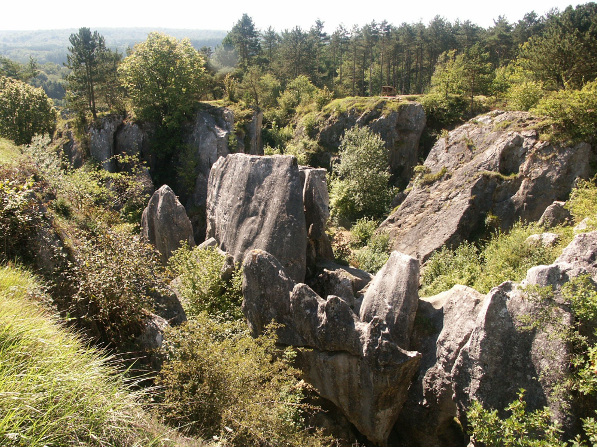
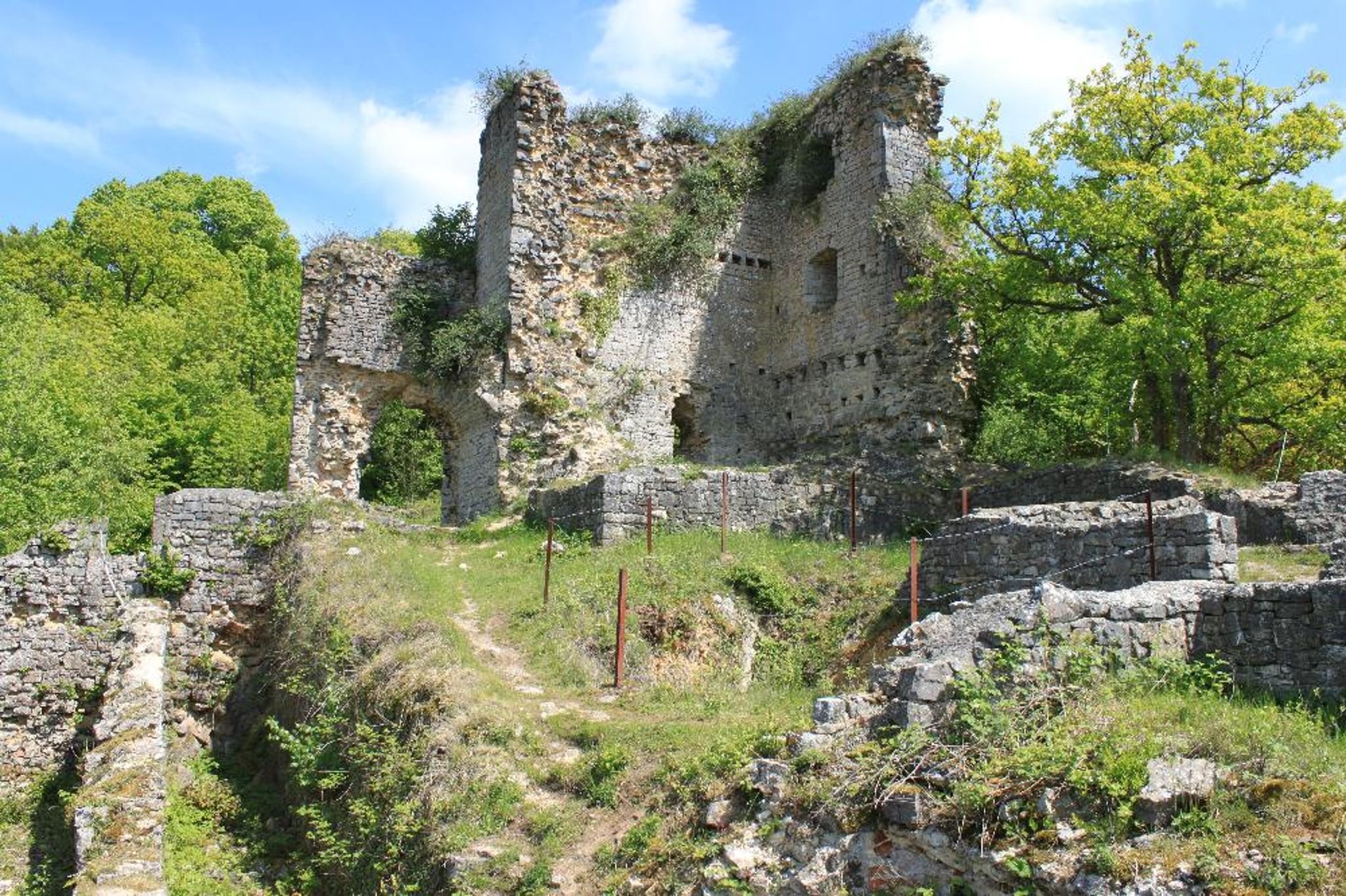
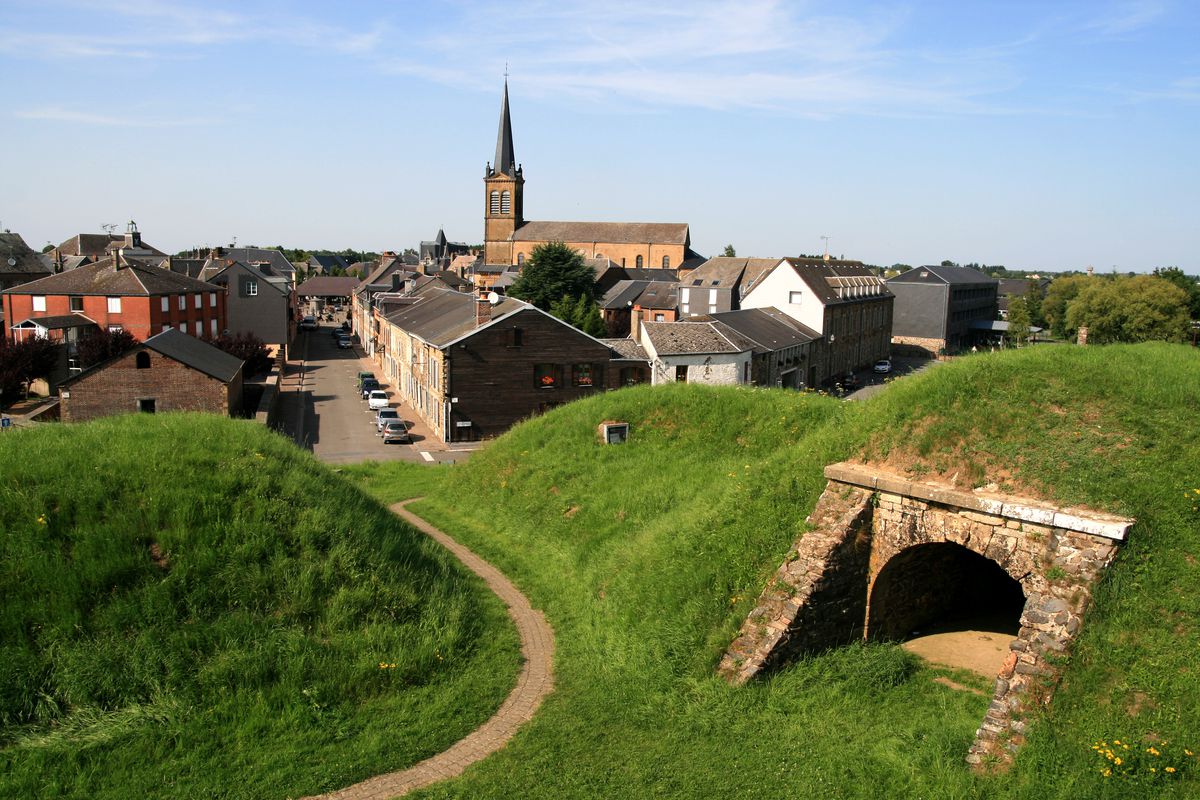
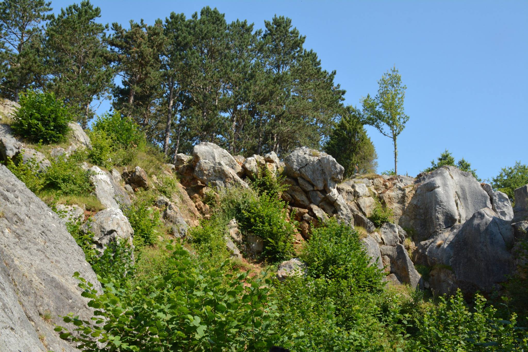
Departing from the village of Nismes, this family-friendly walk makes a nice loop in the surroundings. This notably passes through the Abannets and the very beautiful Fondry des Chiens, a gorge formed by thousands of years of rain erosion in very calcareous soil.

Already more than 200,000 users!
Uphill
86m
Highest point
223m
Downhill
86m
Lowest point
152m
Route type
Loop
Download the map on your smartphone to save battery and rest assured to always keep access to the route, even without signal.
Includes IGN France and Swisstopo.
I indicate whether dogs are allowed or prohibited on this trail
All year
4 ratings
Also enjoy:

Already more than 200,000 users!