Uphill
263m
France > Grand Est > Ardennes > Ardennes Regional Natural Park
Length
14km
Duration
4h30min
Elev gain
263m
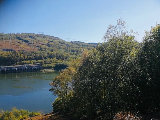
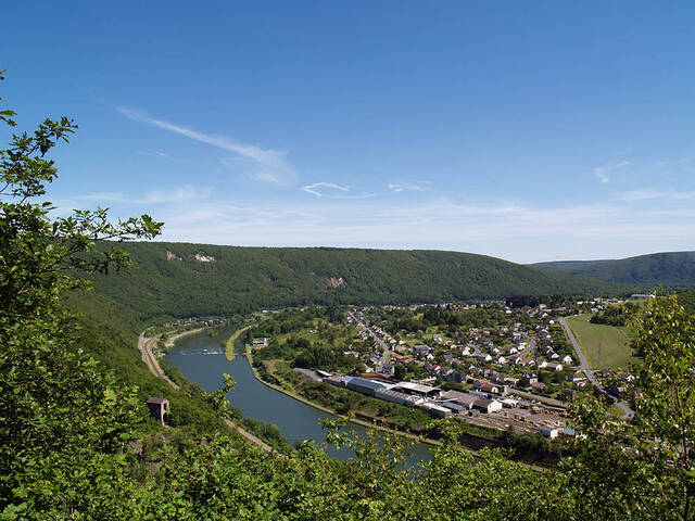
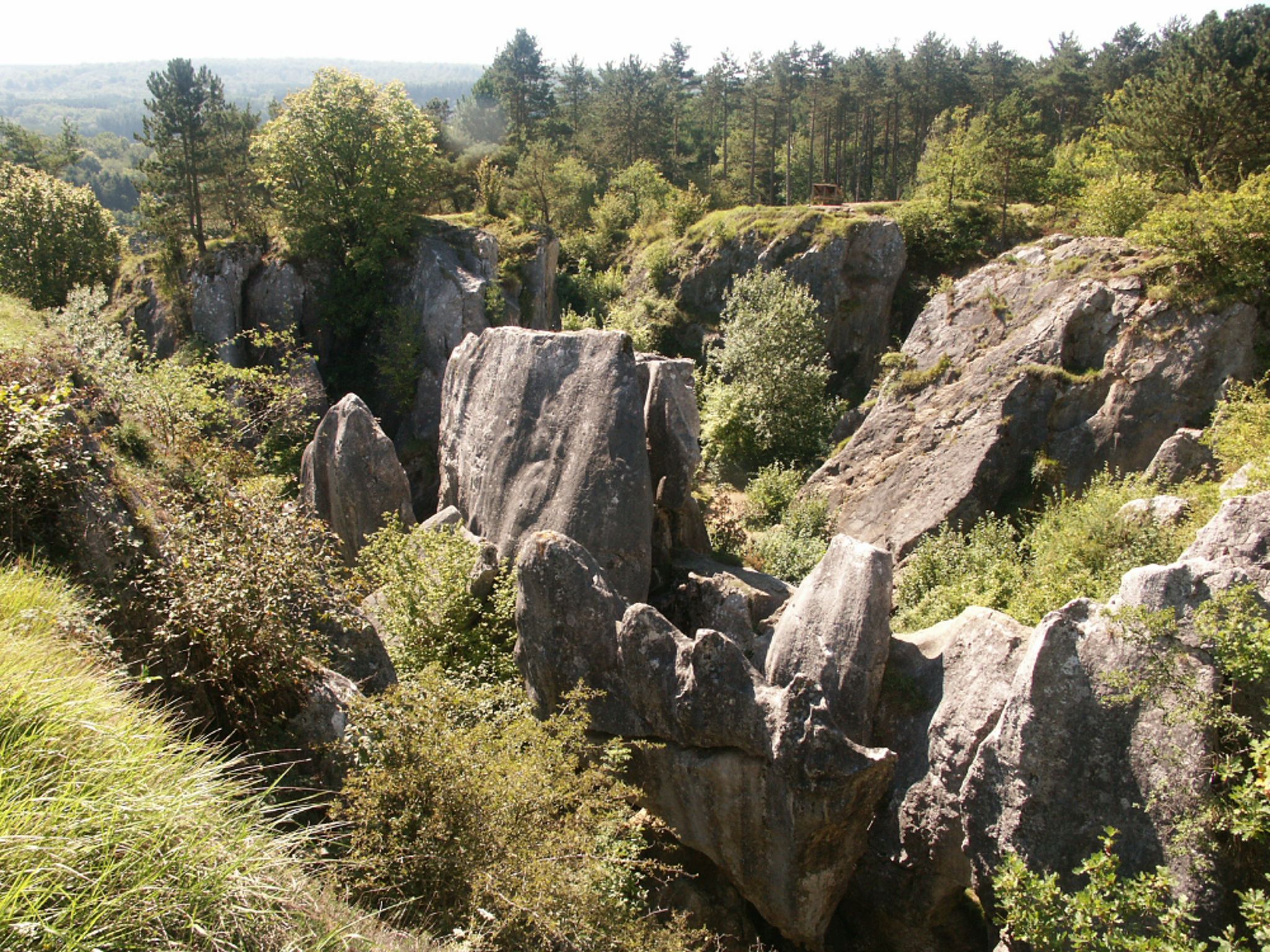
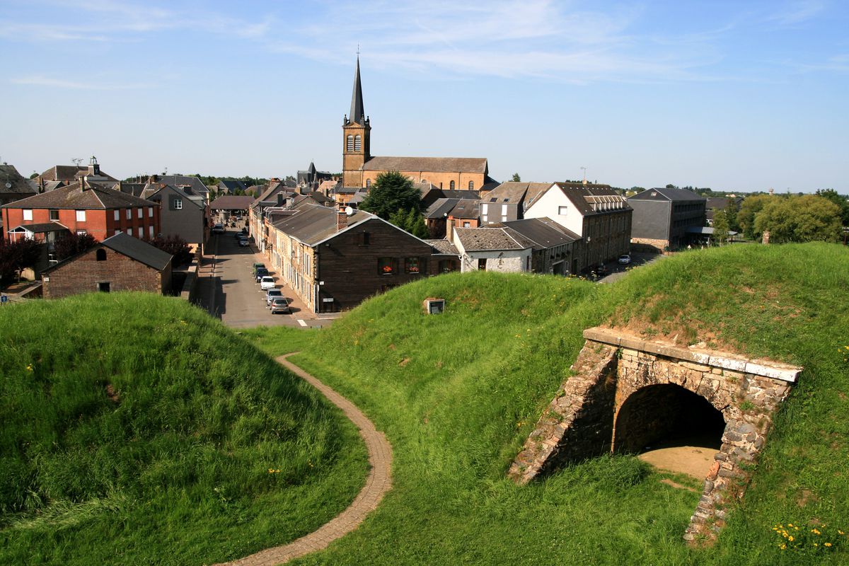
Here is a pretty walk that begins in the village of Rocroi. After passing through an orientation table, the path quickly leads to the forest paths of the Misère valley and along the Murée. Then the route returns to go around the fortifications of Rocroi. A varied route combining nature and heritage.

Already more than 200,000 users!
Uphill
263m
Highest point
386m
Downhill
263m
Lowest point
241m
Route type
Loop
Download the map on your smartphone to save battery and rest assured to always keep access to the route, even without signal.
Includes IGN France and Swisstopo.
I indicate whether dogs are allowed or prohibited on this trail
All year
0 ratings
Also enjoy:

Already more than 200,000 users!