Uphill
317m
Length
12km
Duration
4h
Elev gain
317m
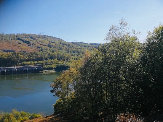
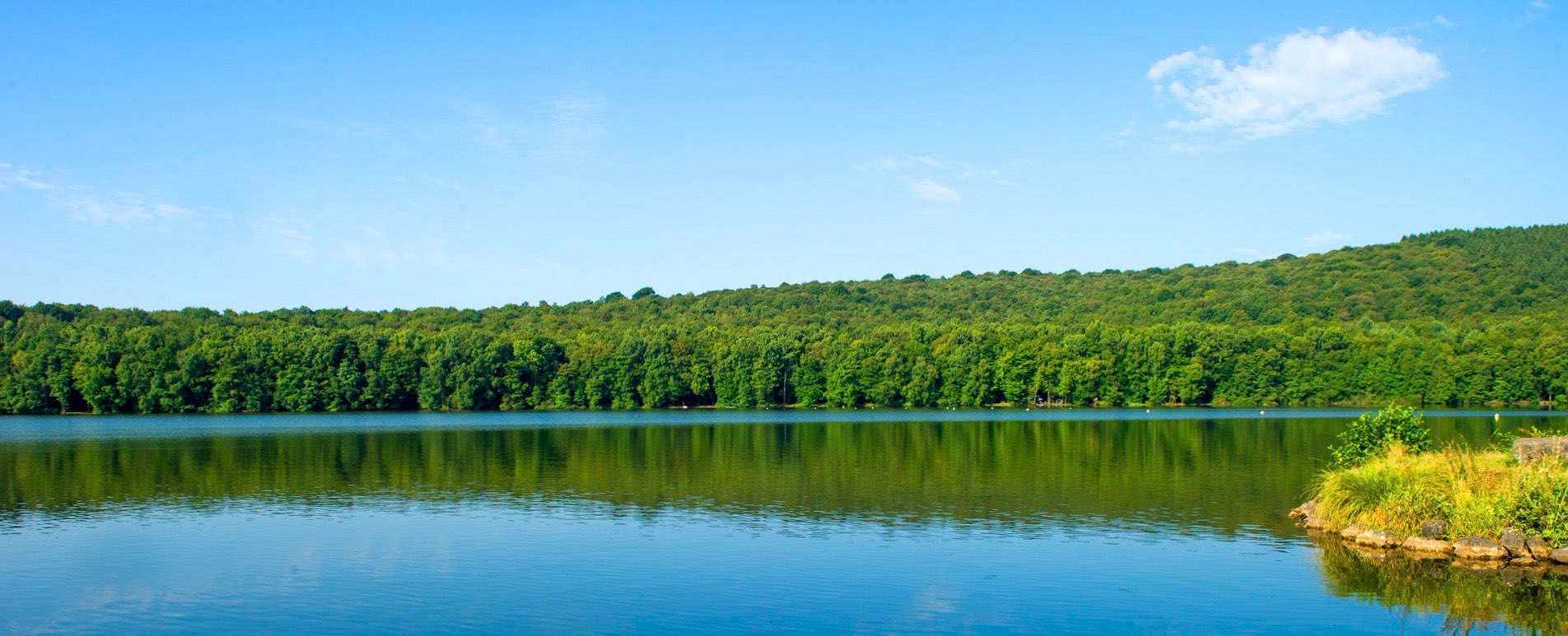
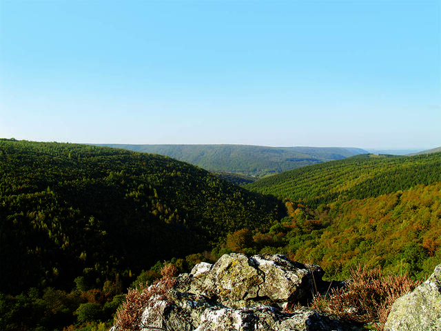
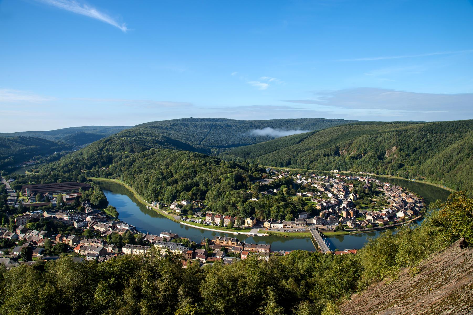
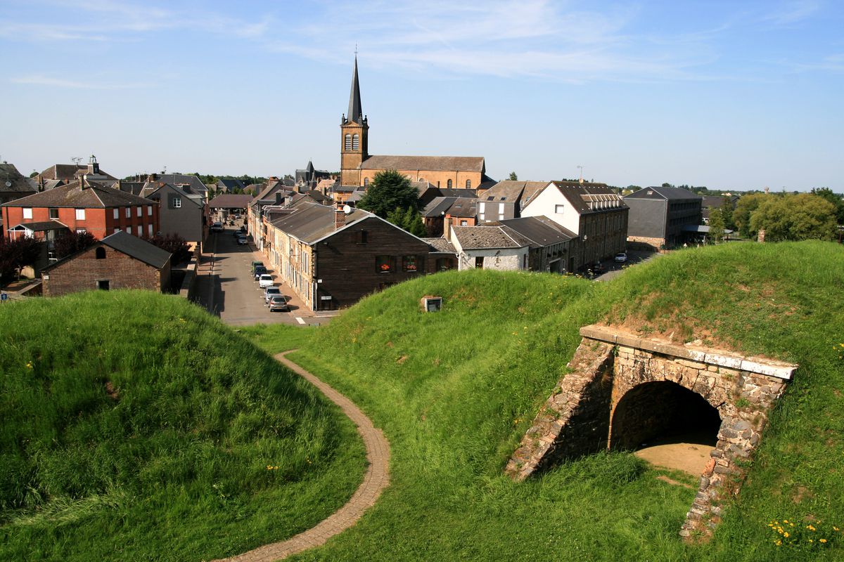
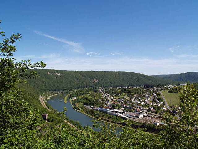
Here is a beautiful walk that begins in the heart of the village of Revin. The route makes a loop in the Bois de Bryas and passes by Mont Devant Revin, the summit dominating the village. This trail also offers beautiful views of the meanders of the Meuse.

Already more than 200,000 users!
Uphill
317m
Highest point
384m
Downhill
317m
Lowest point
116m
Route type
Loop
Download the map on your smartphone to save battery and rest assured to always keep access to the route, even without signal.
Includes IGN France and Swisstopo.
I indicate whether dogs are allowed or prohibited on this trail
All year
0 ratings
Also enjoy:

Already more than 200,000 users!