Uphill
599m
Length
14km
Duration
5h
Elev gain
599m
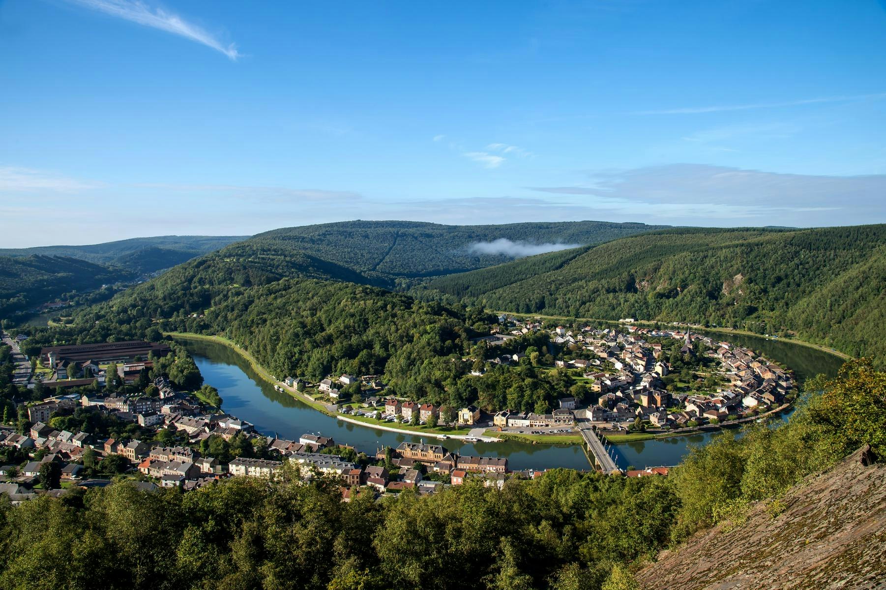
Leaving from Monthermé, crest trail offering pretty views of the Meuse valley. Note that there are some sections on the road.

Already more than 200,000 users!
Uphill
599m
Highest point
368m
Downhill
599m
Lowest point
122m
Route type
Loop
Download the map on your smartphone to save battery and rest assured to always keep access to the route, even without signal.
Includes IGN France and Swisstopo.
I indicate whether dogs are allowed or prohibited on this trail
All year
0 ratings
Also enjoy:

Already more than 200,000 users!


