Uphill
233m
Length
10km
Duration
3h
Elev gain
233m
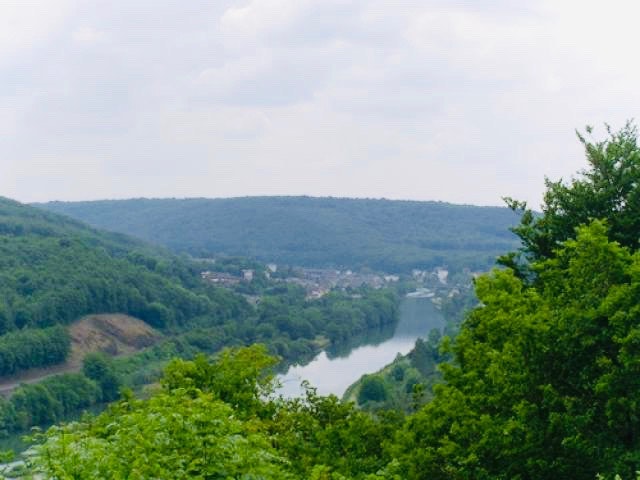
Departing from the acacia forest road, this walk makes a superb loop in the woods of Sorel. Between the song of the birds and the wild flora, everything comes together to spend a pleasant moment in the heart of nature.

Already more than 200,000 users!
Uphill
233m
Highest point
309m
Downhill
233m
Lowest point
199m
Route type
Loop
Download the map on your smartphone to save battery and rest assured to always keep access to the route, even without signal.
Includes IGN France and Swisstopo.
I indicate whether dogs are allowed or prohibited on this trail
All year
0 ratings
Also enjoy:

Already more than 200,000 users!


