Uphill
49m
Length
6km
Duration
1h30min
Elev gain
49m
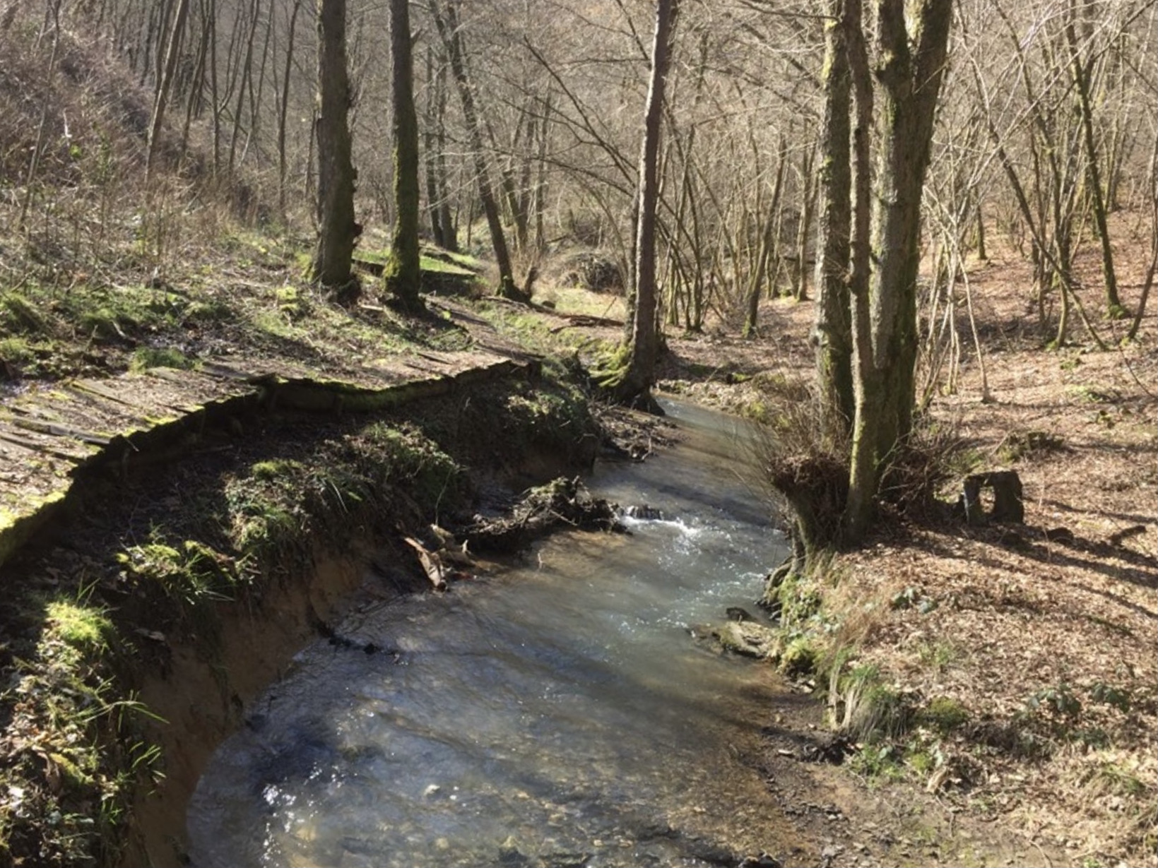
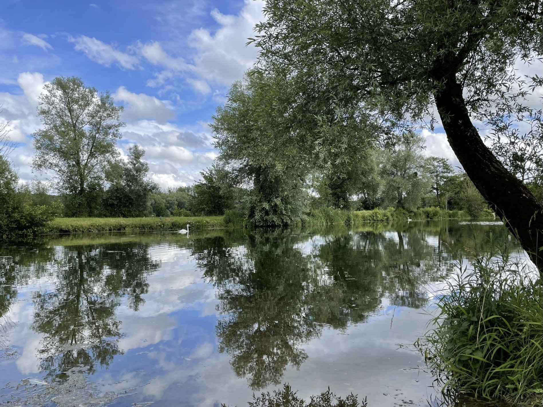
A short relaxing walk in the Ballastière des Ayvelles. The route makes a loop around two ponds, which are also popular with fishermen.

Already more than 200,000 users!
Uphill
49m
Highest point
156m
Downhill
49m
Lowest point
128m
Route type
Loop
Download the map on your smartphone to save battery and rest assured to always keep access to the route, even without signal.
Includes IGN France and Swisstopo.
I indicate whether dogs are allowed or prohibited on this trail
All year
0 ratings
Also enjoy:

Already more than 200,000 users!