Uphill
123m
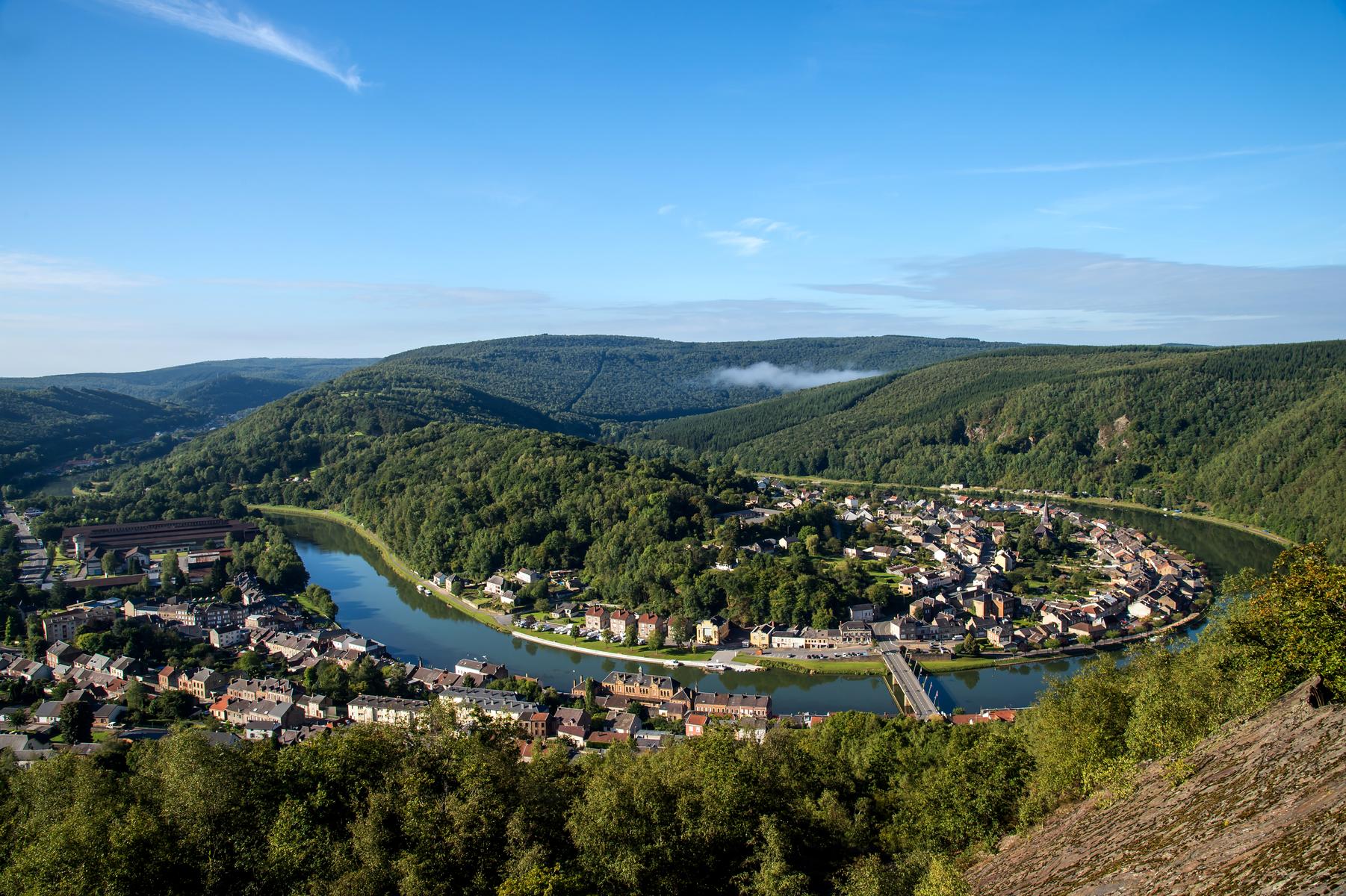
France > Grand Est > Ardennes > Ardennes Regional Natural Park
Length
10km
Duration
3h
Elev gain
123m
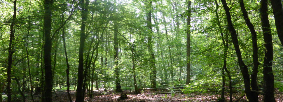
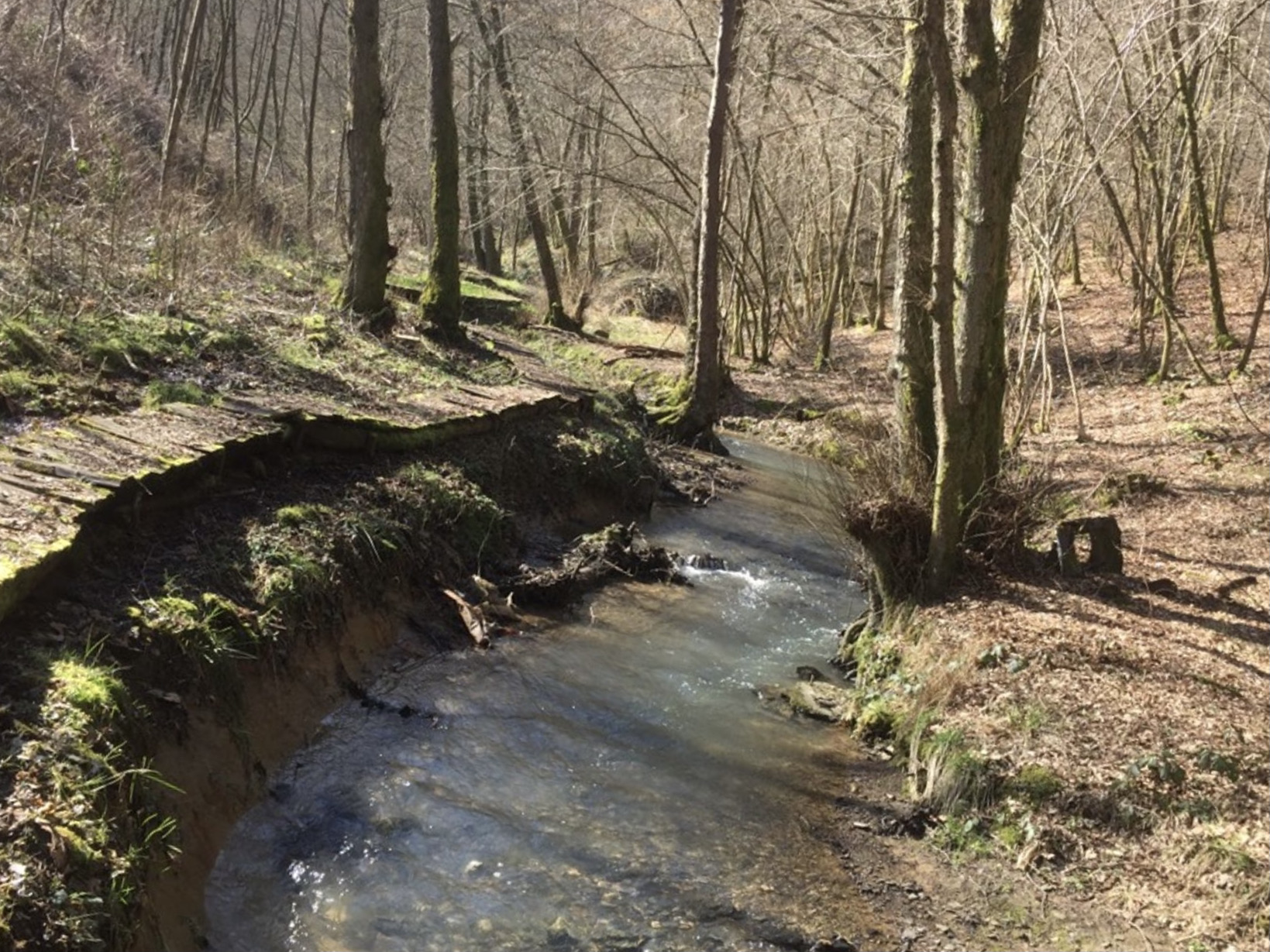
Departing from Neufmanil, this hike makes a nice loop around the Naidimont stream. The path begins by going up the valley then crosses the stream to return to the starting point via the Chemin du Blanc Caillou.

Already more than 200,000 users!
Uphill
123m
Highest point
228m
Downhill
123m
Lowest point
161m
Route type
Loop
Download the map on your smartphone to save battery and rest assured to always keep access to the route, even without signal.
Includes IGN France and Swisstopo.
I indicate whether dogs are allowed or prohibited on this trail
All year
1 rating
Also enjoy:

Already more than 200,000 users!