Uphill
540m
Length
13km
Duration
4h30min
Elev gain
540m
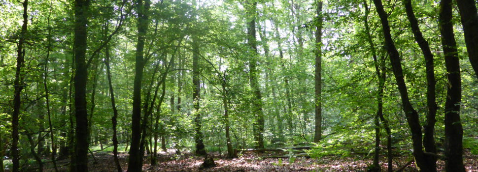
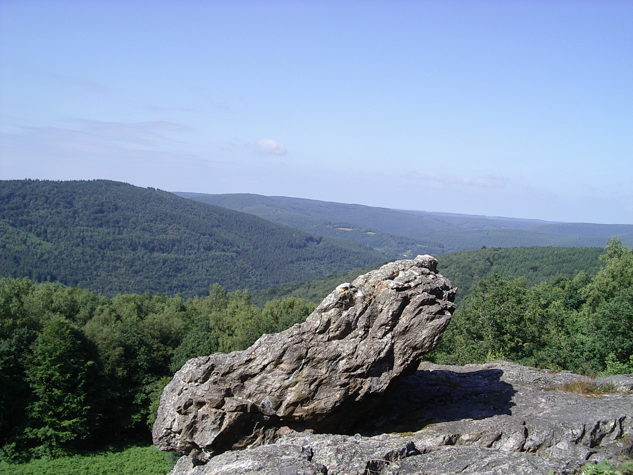
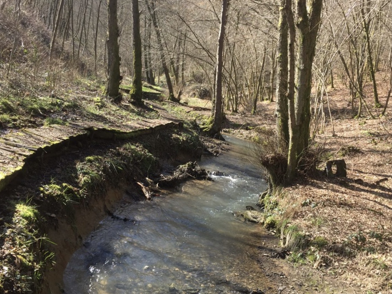
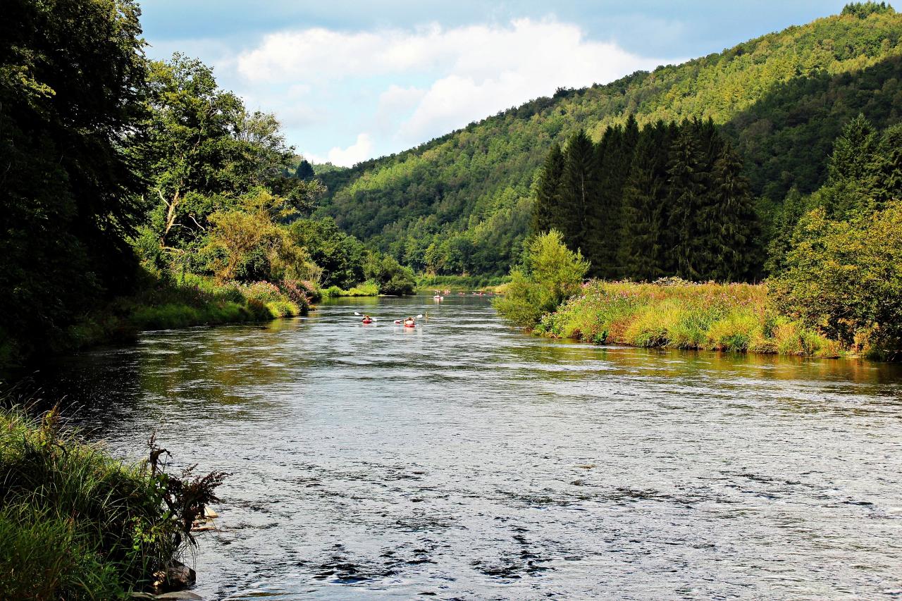
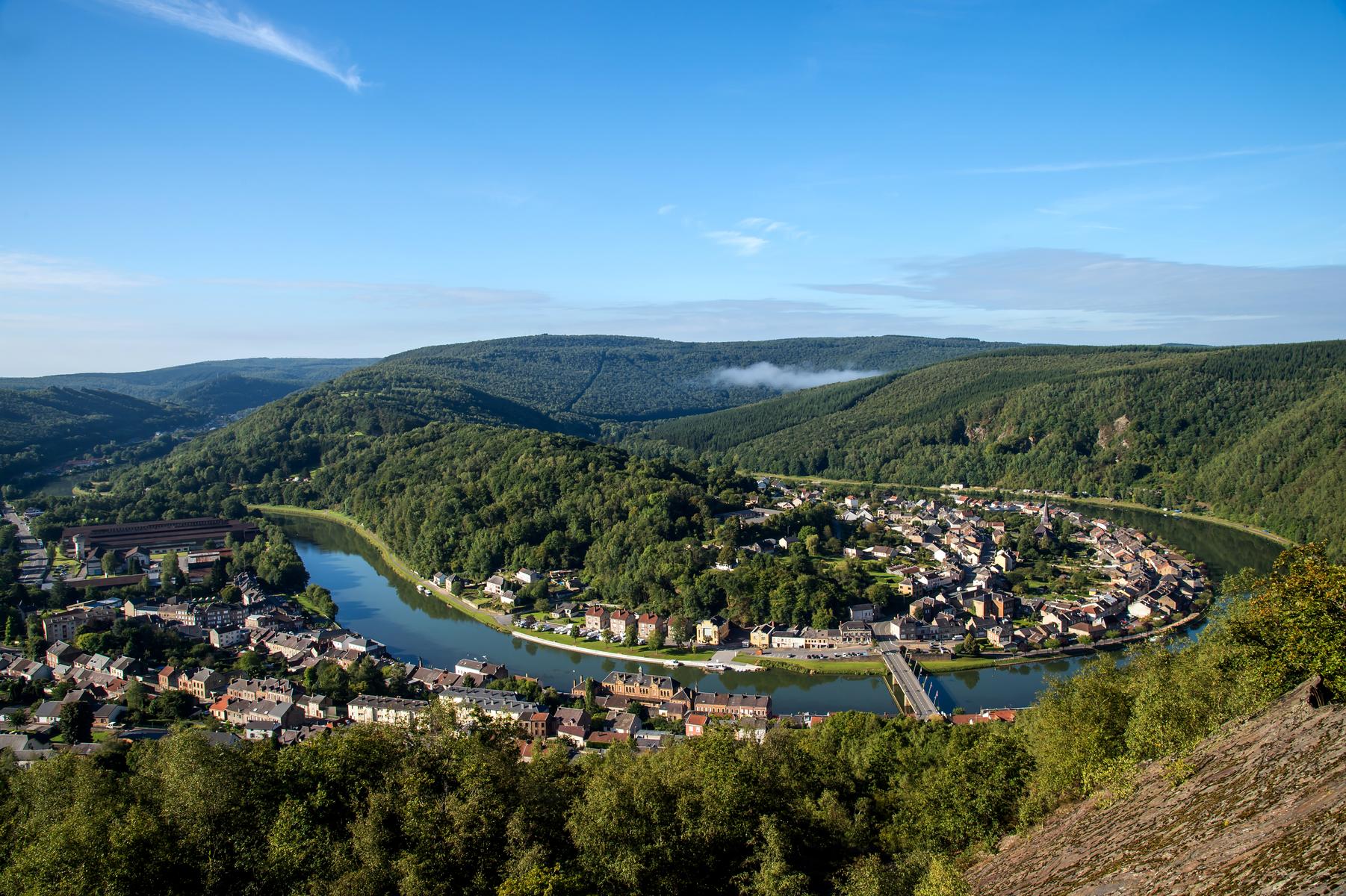
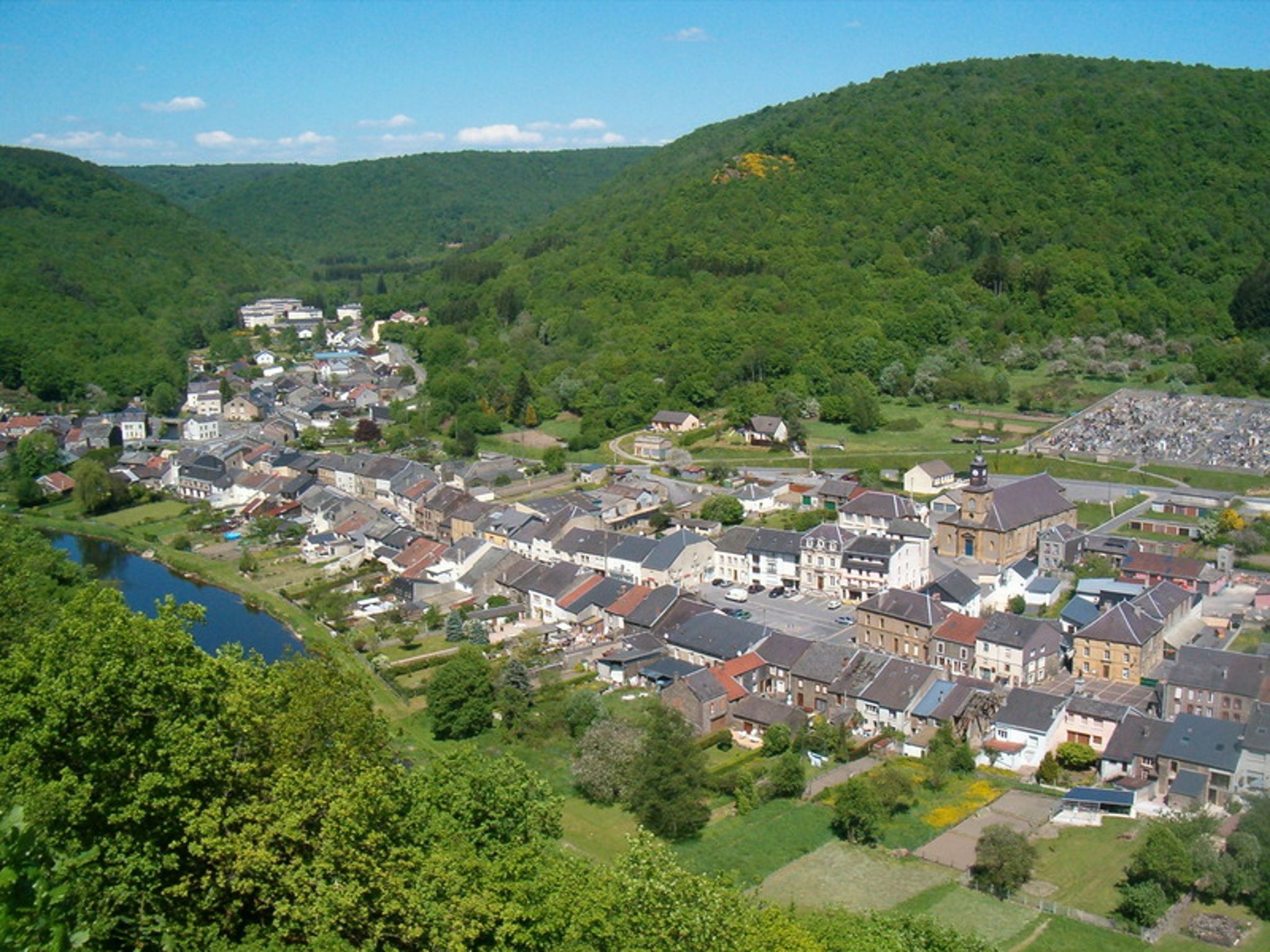
Here is a pretty hike that sets off to discover the charming Semoy valley. Leaving from the Hautes-Rivières, the path connects the village of Naux and the meanders of the river. The route follows a hilly path that offers superb panoramas.

Already more than 200,000 users!
Uphill
540m
Highest point
370m
Downhill
540m
Lowest point
139m
Route type
Loop
Download the map on your smartphone to save battery and rest assured to always keep access to the route, even without signal.
Includes IGN France and Swisstopo.
I indicate whether dogs are allowed or prohibited on this trail
All year
0 ratings
Also enjoy:

Already more than 200,000 users!