Uphill
132m
Belgium > Wallonia > Namur > Ardenne Méridionale Nature Park
Length
11km
Duration
3h
Elev gain
132m
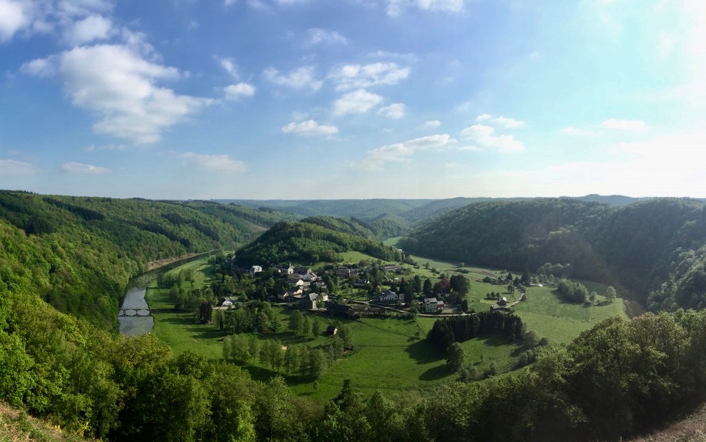
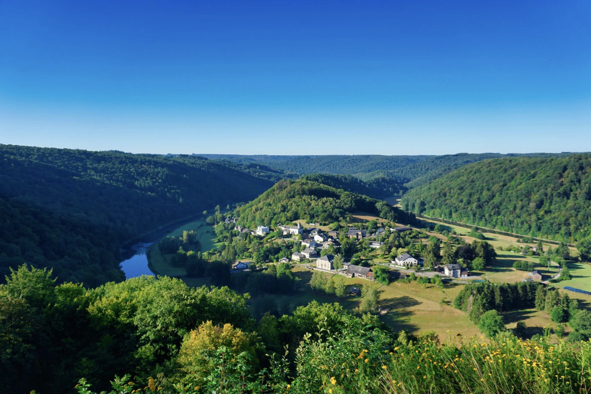
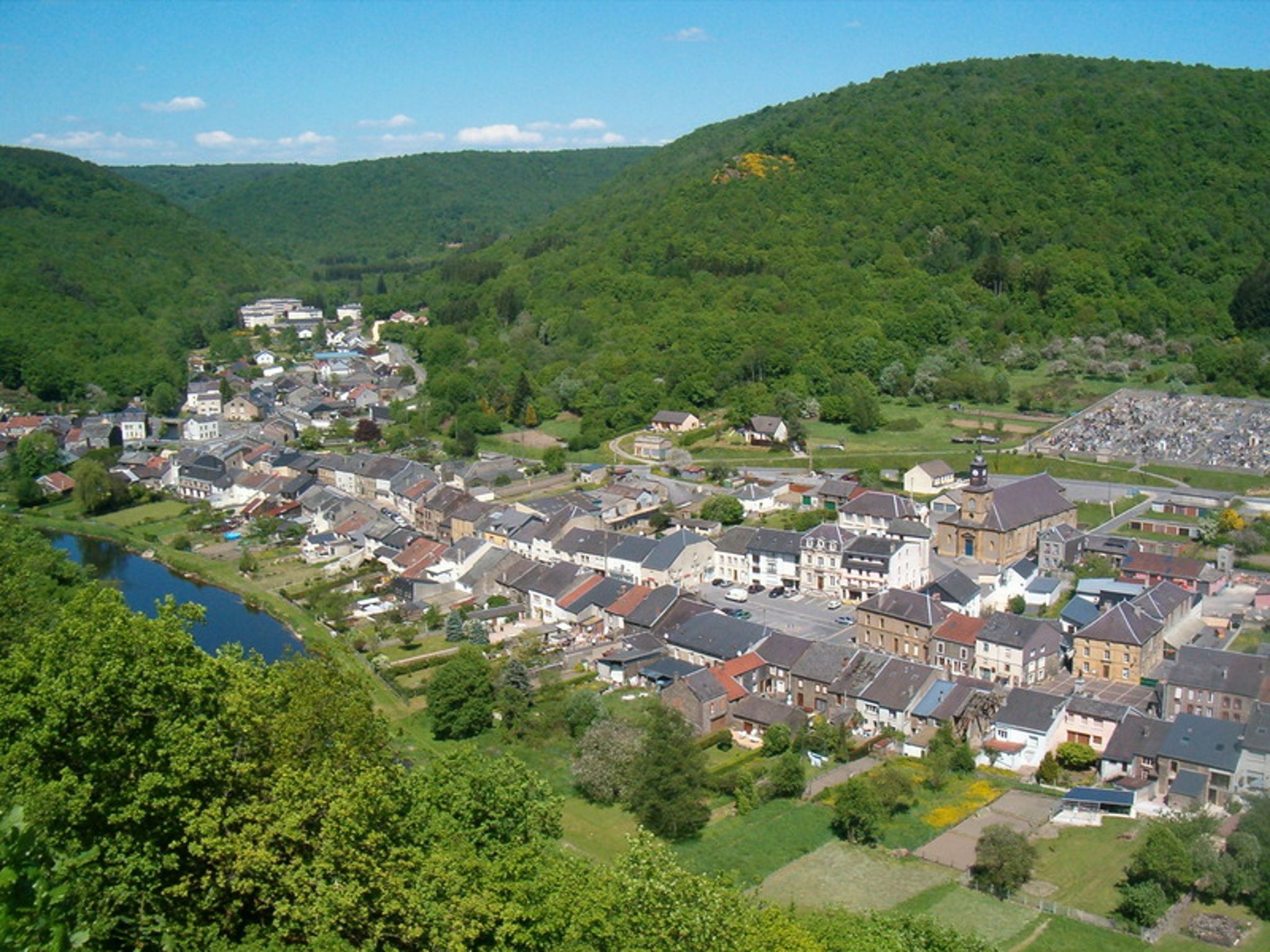
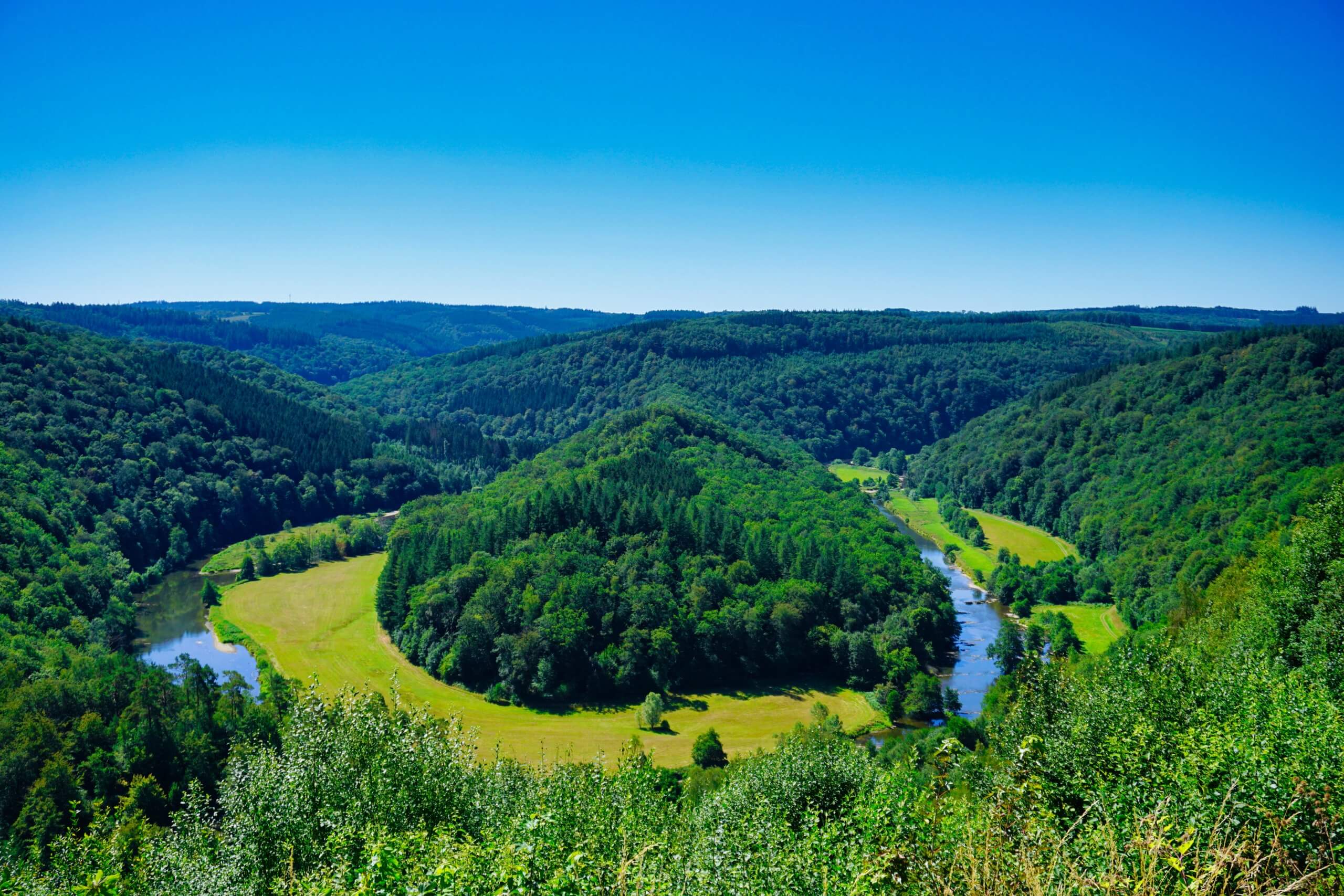
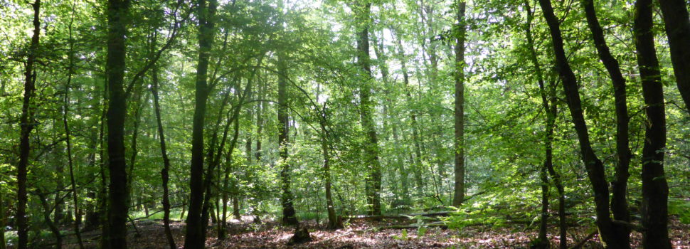
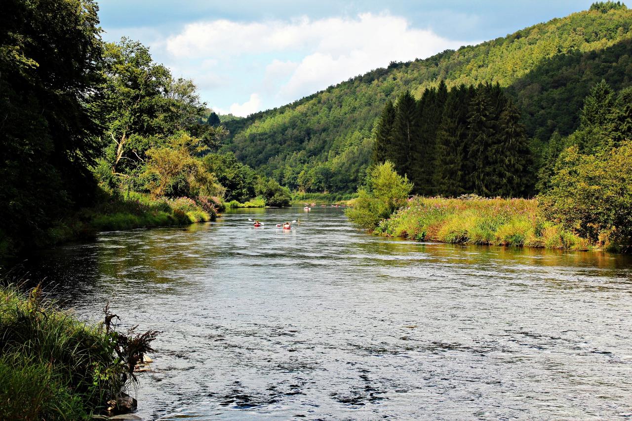
Nice walk between the towns of Vresse-sur-Semois and Mouzaive. The route makes a loop on the banks of the Semois river, in a pleasant and green setting. A short visit to the Mouzaive mill is possible during this hike.
Note that the trail uses roads several times.

Already more than 200,000 users!
Uphill
132m
Highest point
227m
Downhill
132m
Lowest point
170m
Route type
Loop
Download the map on your smartphone to save battery and rest assured to always keep access to the route, even without signal.
Includes IGN France and Swisstopo.
I indicate whether dogs are allowed or prohibited on this trail
All year
0 ratings
Also enjoy:

Already more than 200,000 users!