Uphill
194m
Belgium > Wallonia > Luxembourg > Ardenne Méridionale Nature Park
Length
4km
Duration
1h30min
Elev gain
194m
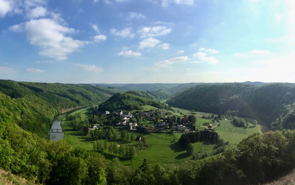
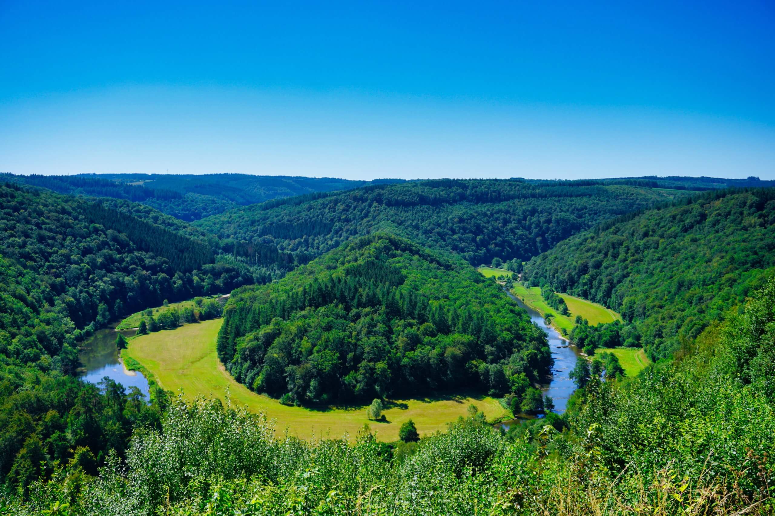
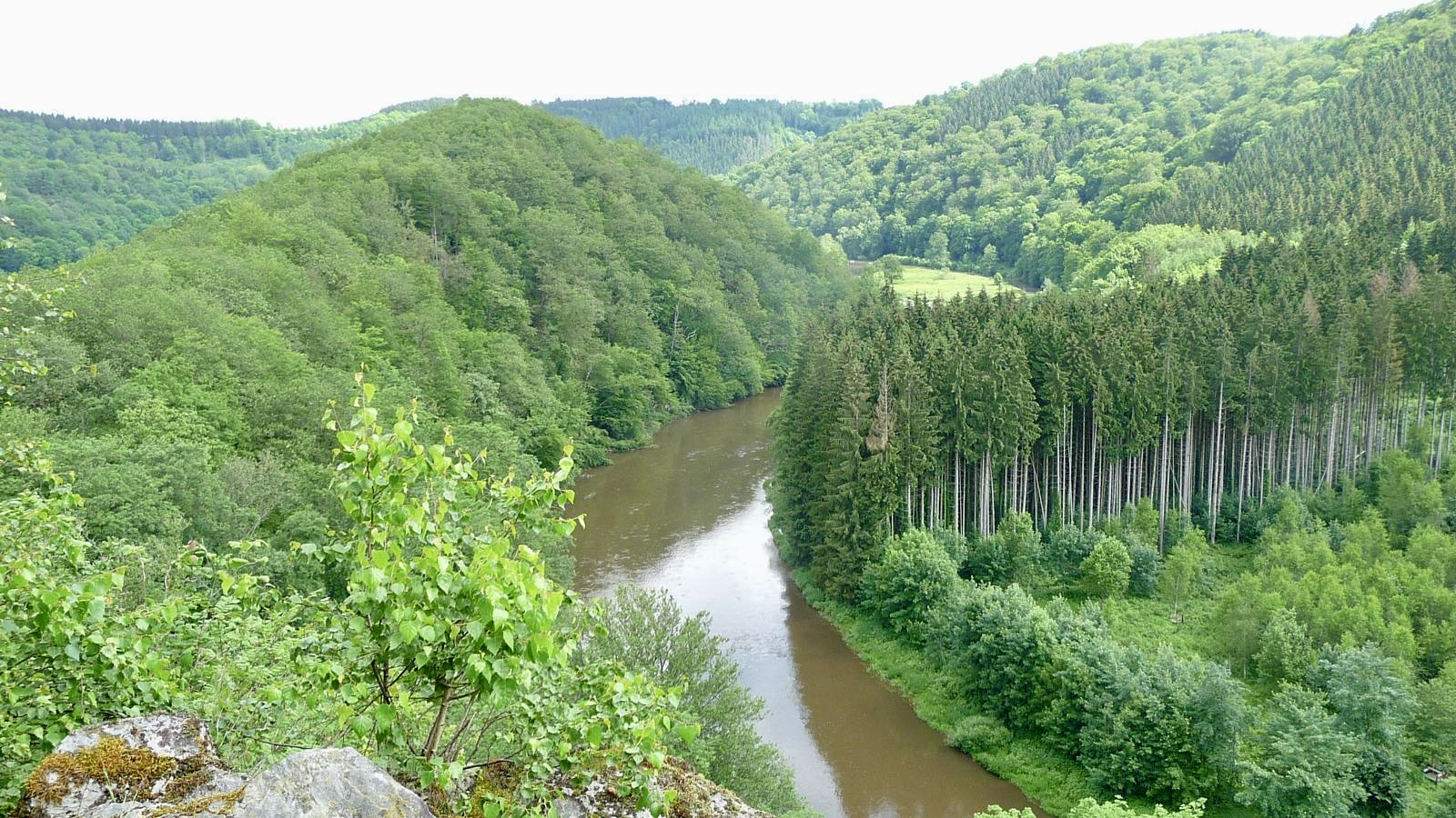
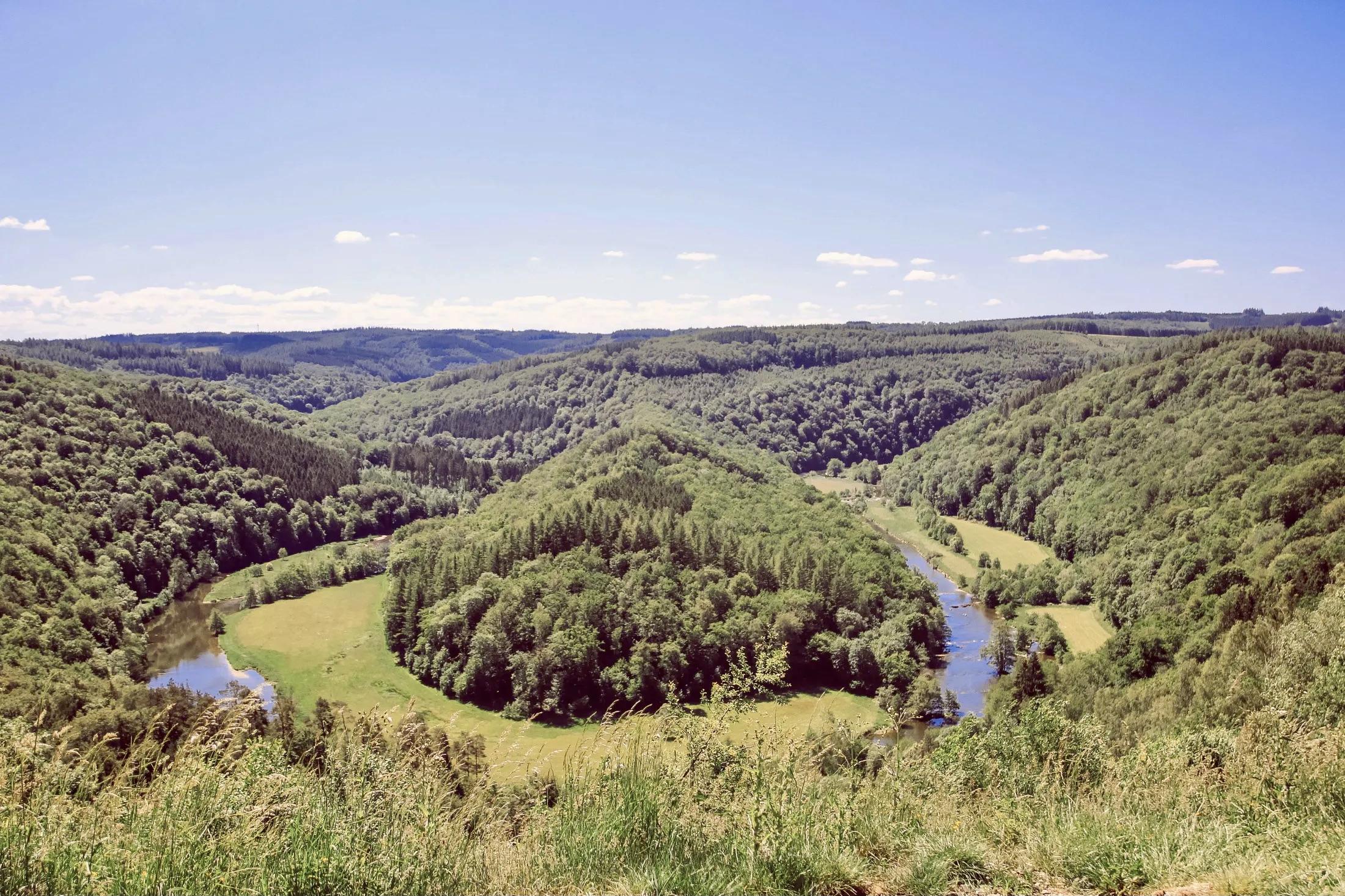
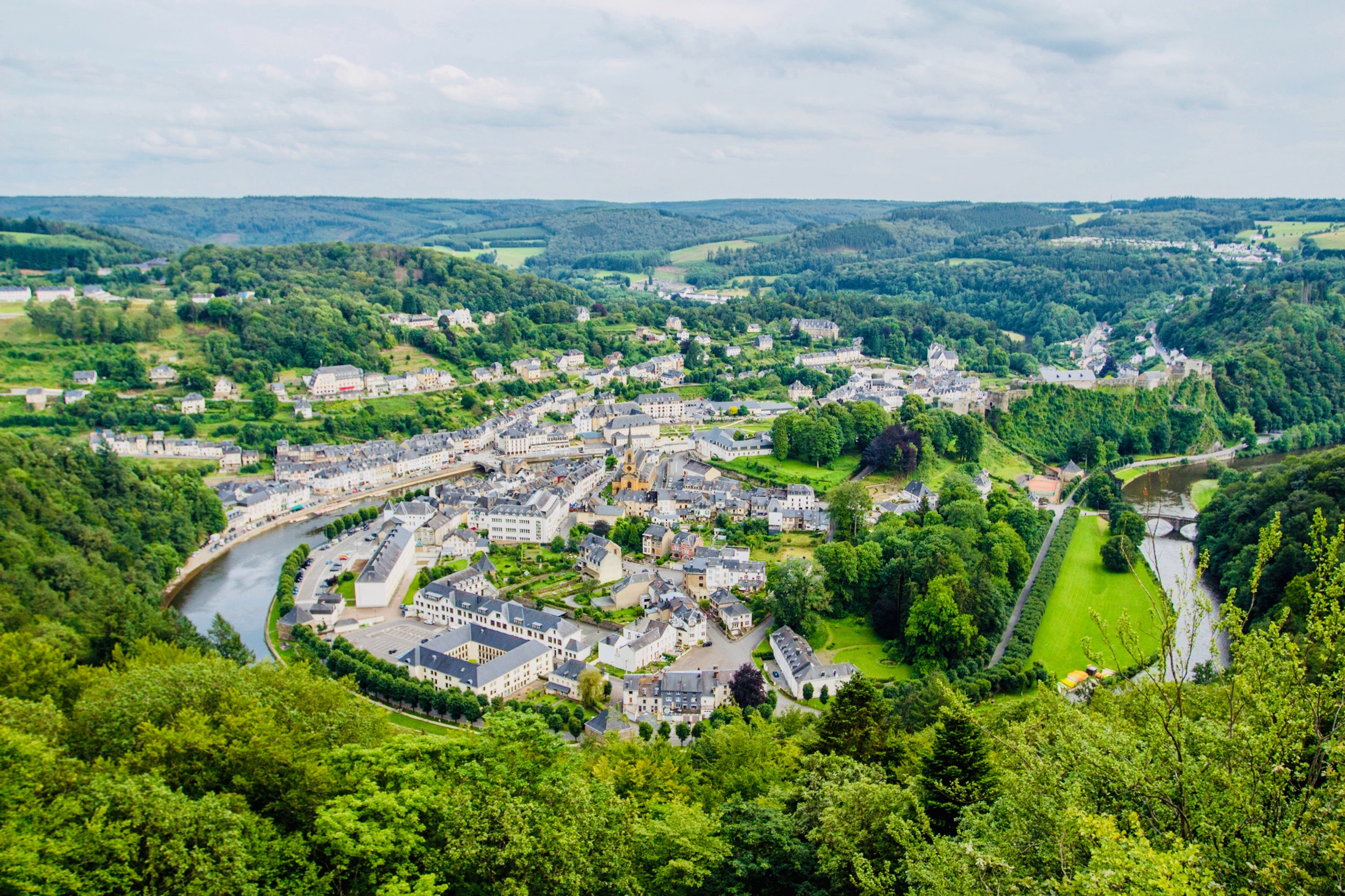
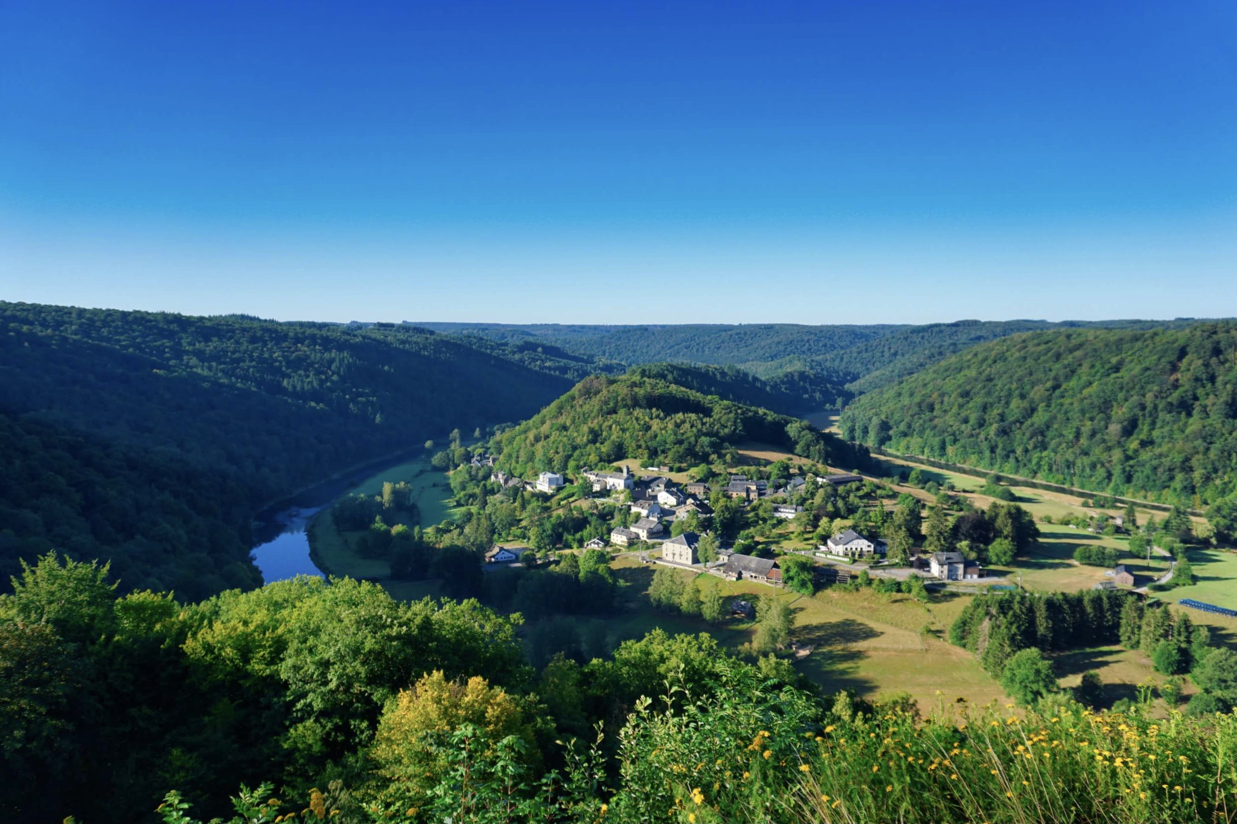
Although short in distance, this hike remains relatively physical and has absolutely nothing to envy to the larger ones. From Rochehaut, the route makes a loop on the heights, and borrows several ladders to offer superb views of the Semois.
Be careful, during periods of heavy rain, the trail may be muddy and slippery.

Already more than 200,000 users!
Uphill
194m
Highest point
374m
Downhill
194m
Lowest point
201m
Route type
Loop
Download the map on your smartphone to save battery and rest assured to always keep access to the route, even without signal.
Includes IGN France and Swisstopo.
I indicate whether dogs are allowed or prohibited on this trail
All year
1 rating
Also enjoy:

Already more than 200,000 users!