Uphill
185m
Belgium > Wallonia > Luxembourg > Ardenne Méridionale Nature Park
Length
4km
Duration
1h30min
Elev gain
185m
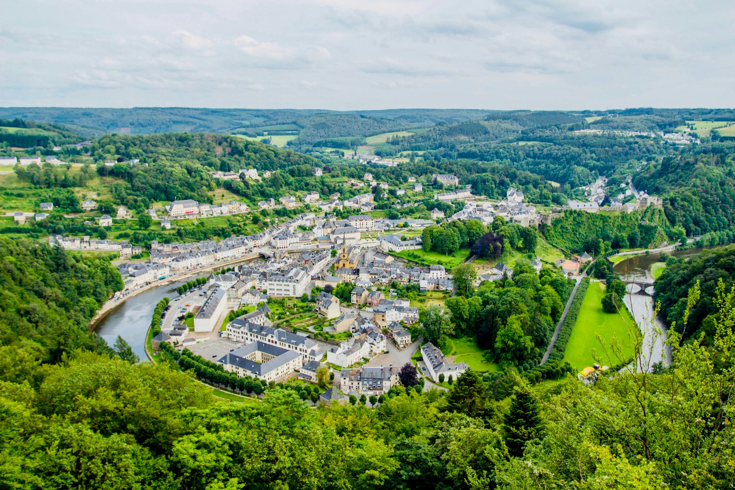
Here is a great trail that is both short and intense. The route begins in Bouillon, near the Semois, and quickly reaches the belvedere of Auclin by a relatively steep path. At the top, the efforts are rewarded with a superb view. You then have to go down and follow the river to reach the starting point.

Already more than 200,000 users!
Uphill
185m
Highest point
372m
Downhill
185m
Lowest point
203m
Route type
Loop
Download the map on your smartphone to save battery and rest assured to always keep access to the route, even without signal.
Includes IGN France and Swisstopo.
I indicate whether dogs are allowed or prohibited on this trail
All year
0 ratings
Also enjoy:

Already more than 200,000 users!


